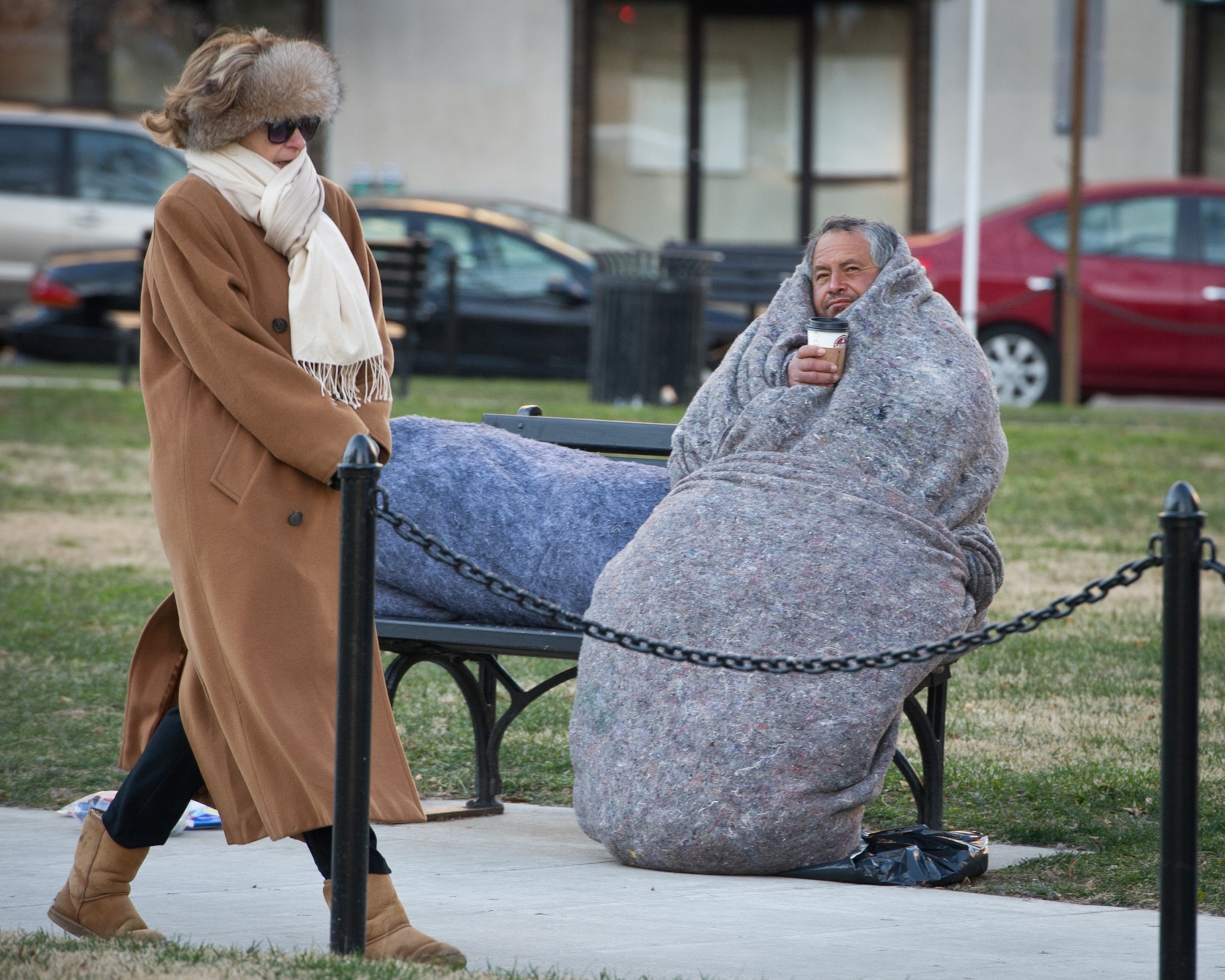
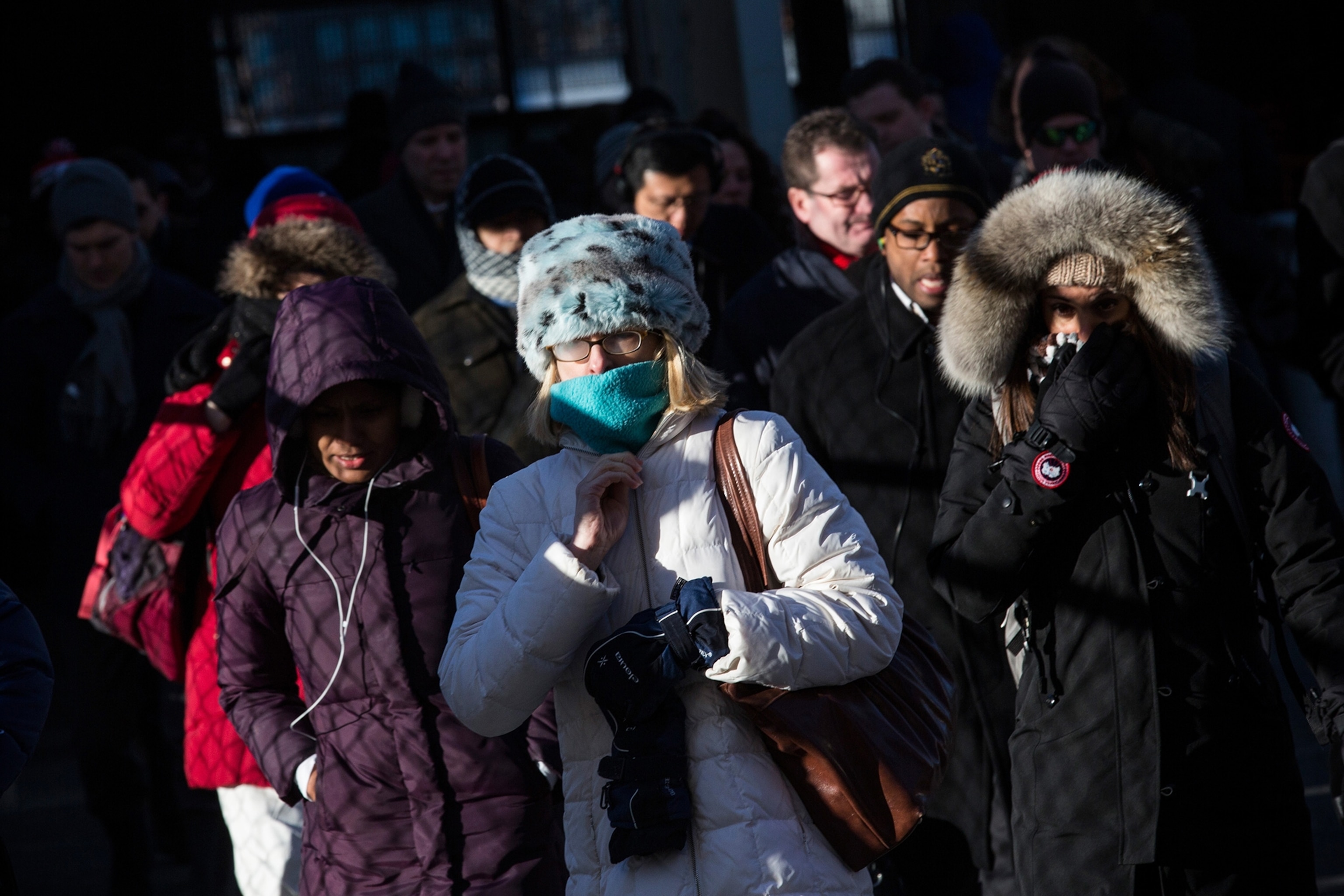
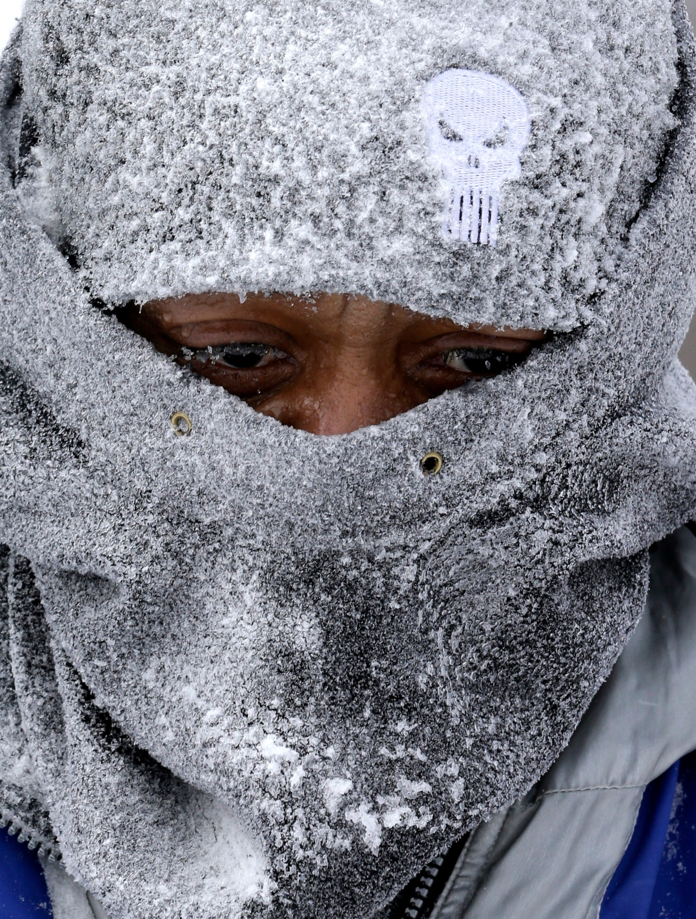
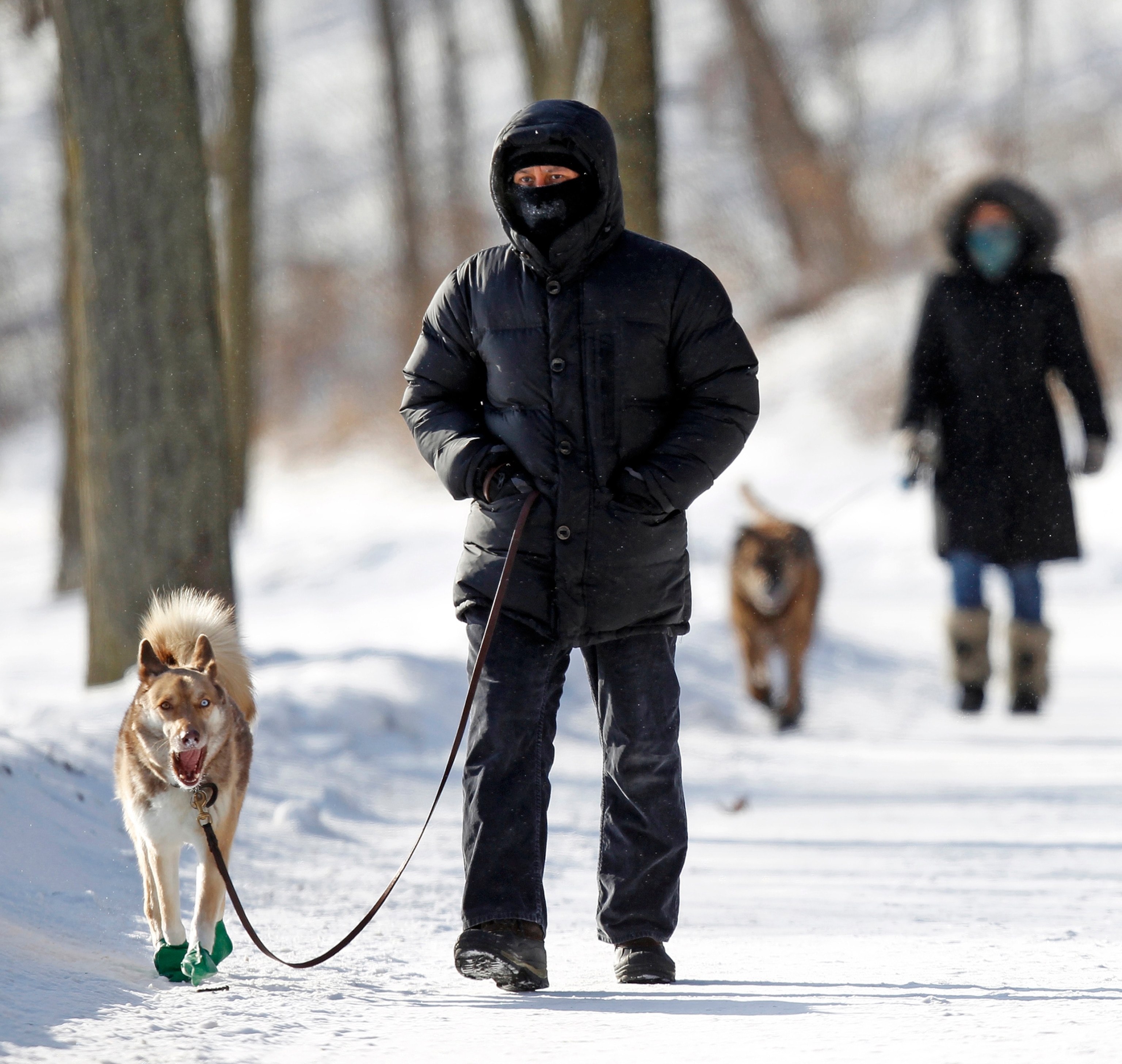
A pedestrian and a homeless man both bundled up against freezing temperatures in Washington, D.C., on January 7, as the most intense cold snap in 20 years descended on the United States.
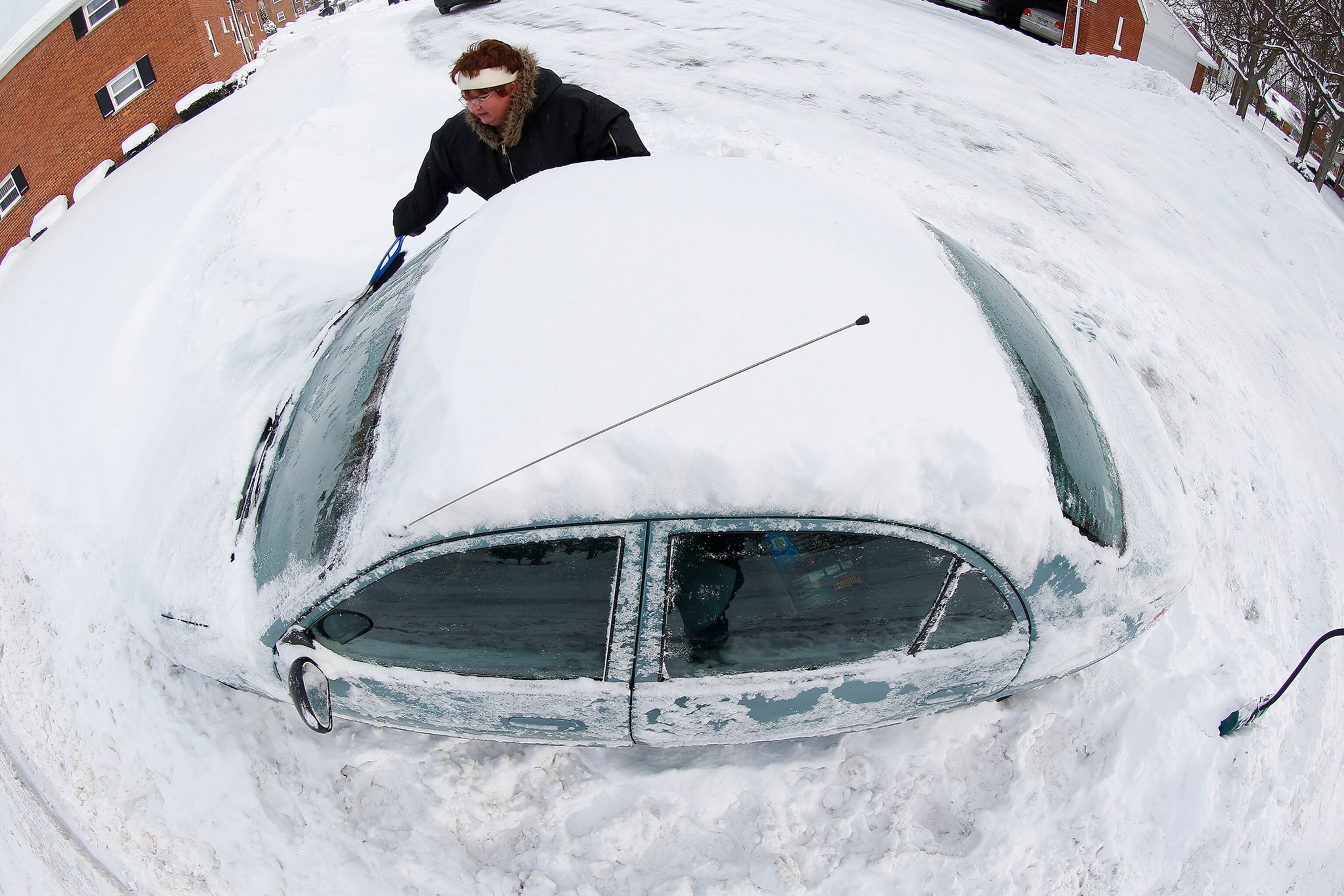
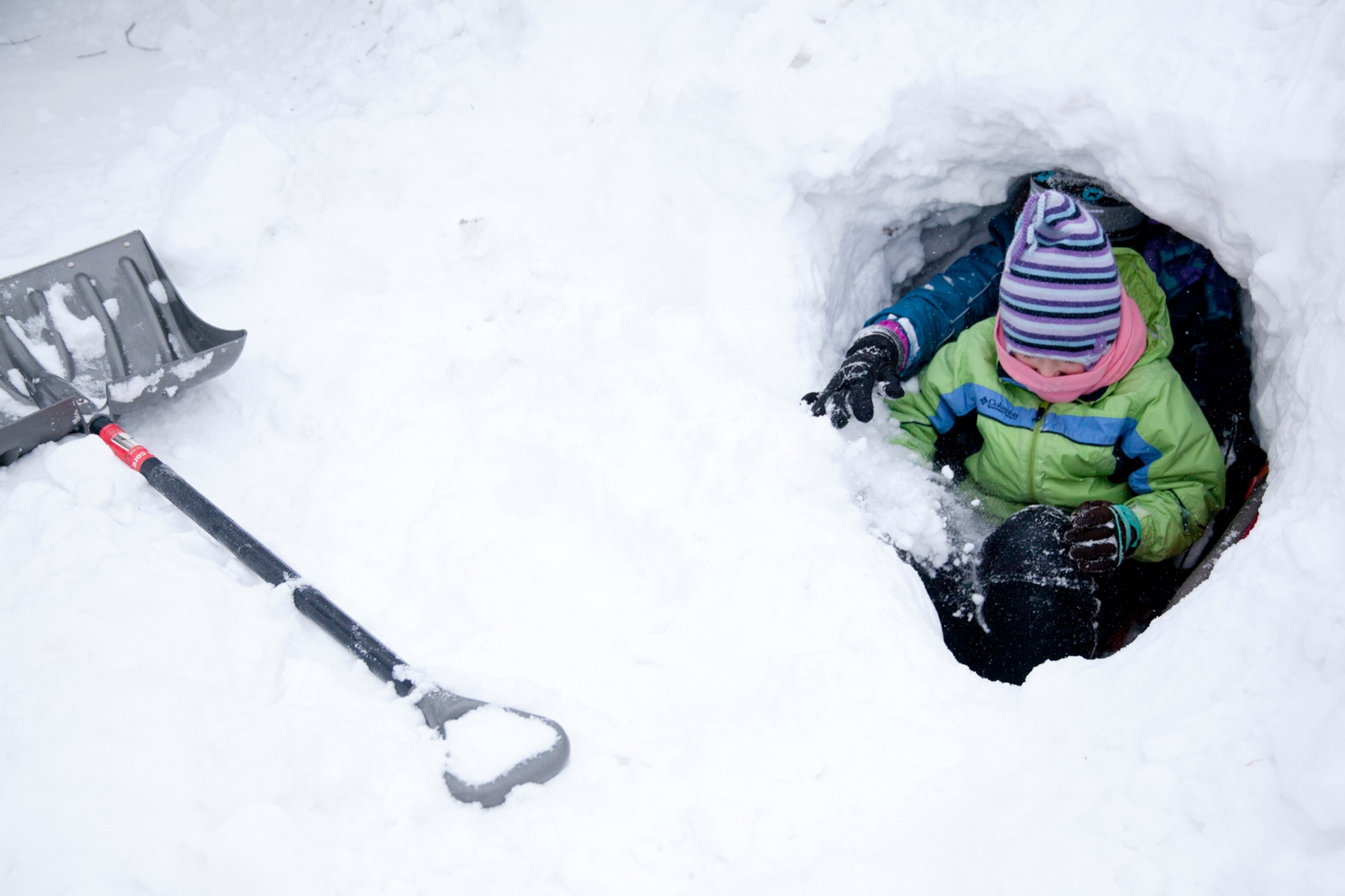
Blasts of extreme cold took hold throughout the U.S. early Tuesday morning, delivering temperatures not seen for decades. Some parts of the Midwest dipped to nearly -40°F (-40°C)—with windchill it was more like -60°F (-51°C)—and states as far south as Alabama and Georgia experienced colder temperatures than they've had in years.
Experts say the unusually cold weather is caused by air chilled in northern Canada being blown into the U.S., and the core of that cold air mass—called a "polar vortex"—was shunted southward by the jet stream, a band of strong winds that blow in the upper level of the atmosphere. (Related: "Behind Record U.S. Cold Snap: Canadian Air and a Jet Stream Kink.")
The arrival of the polar vortex from Canada is a result of a kink in the jetstream—typically, the air travels fairly straight from west to east.
Although the bitter cold is making for miserable commutes now, meteorologists predict temperatures will return to normal by the end of the week.
