These Amazing Maps Show How Kids See Their Place in the World
Children from 38 countries submitted some impressive entries for a competition judged by the International Cartographic Association.
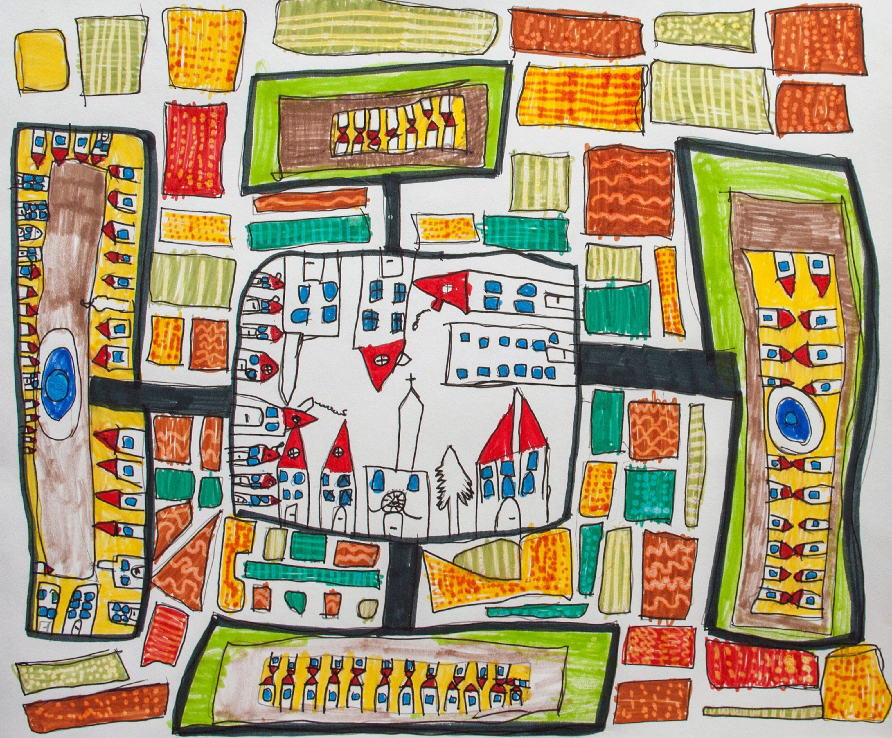
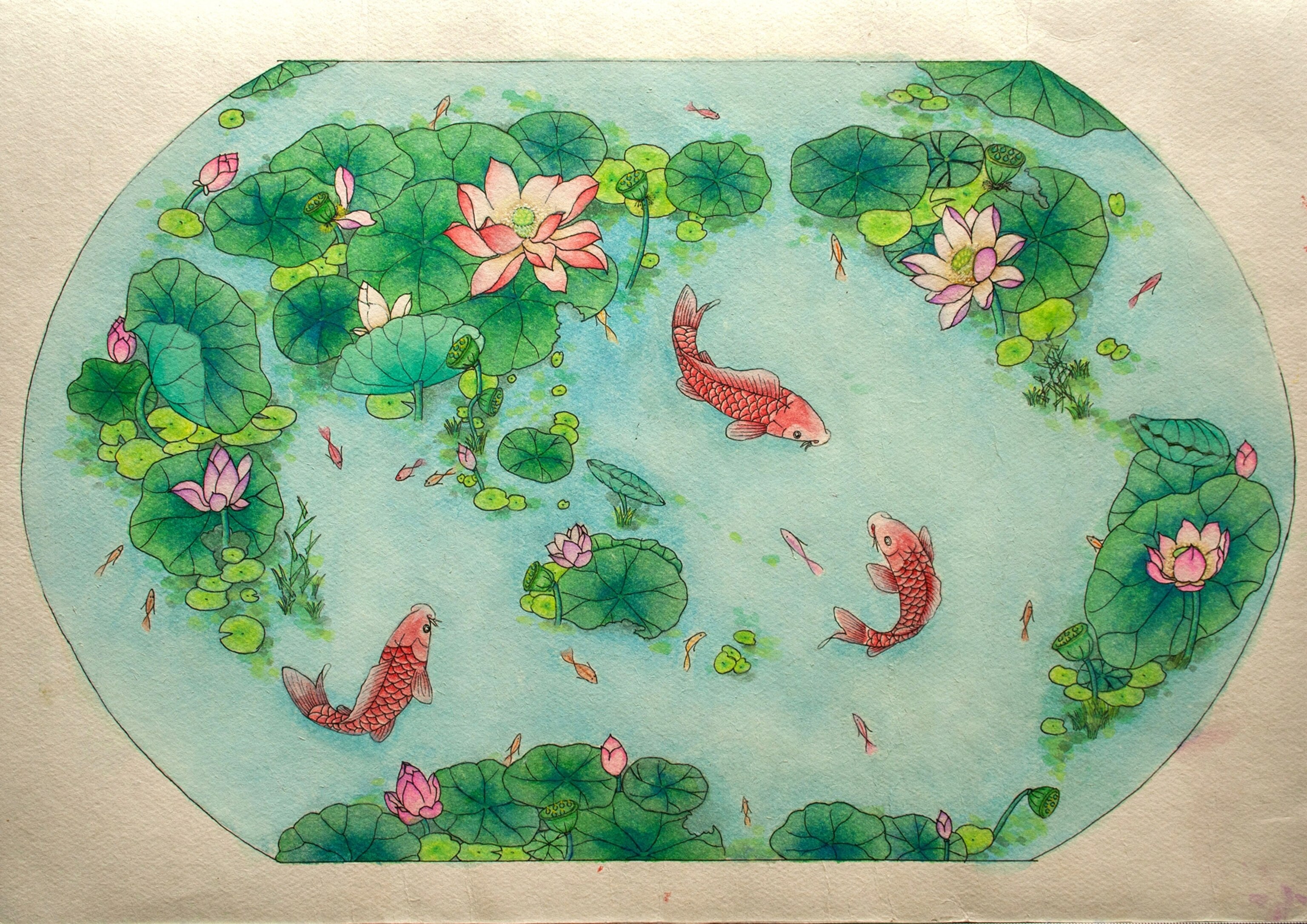
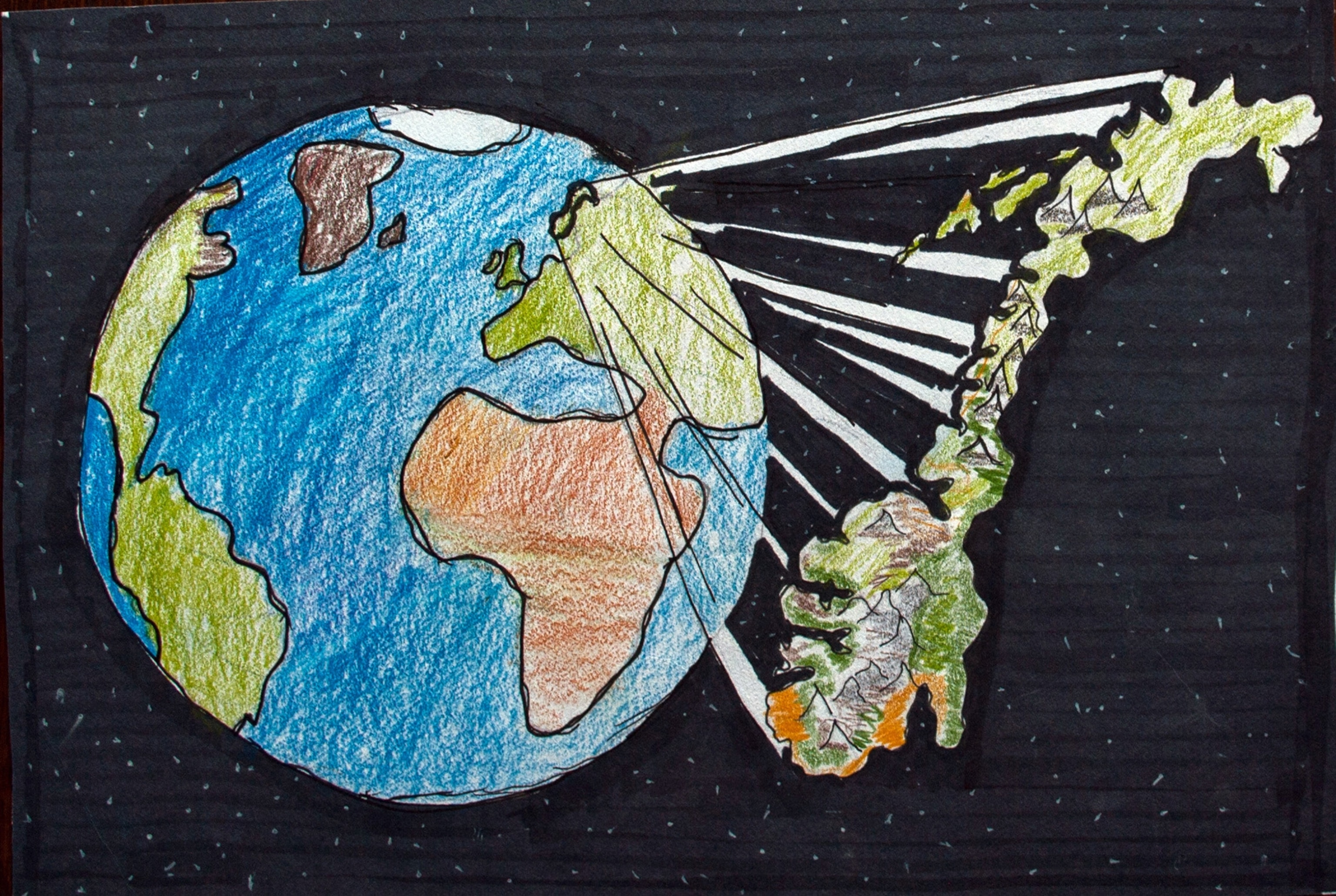
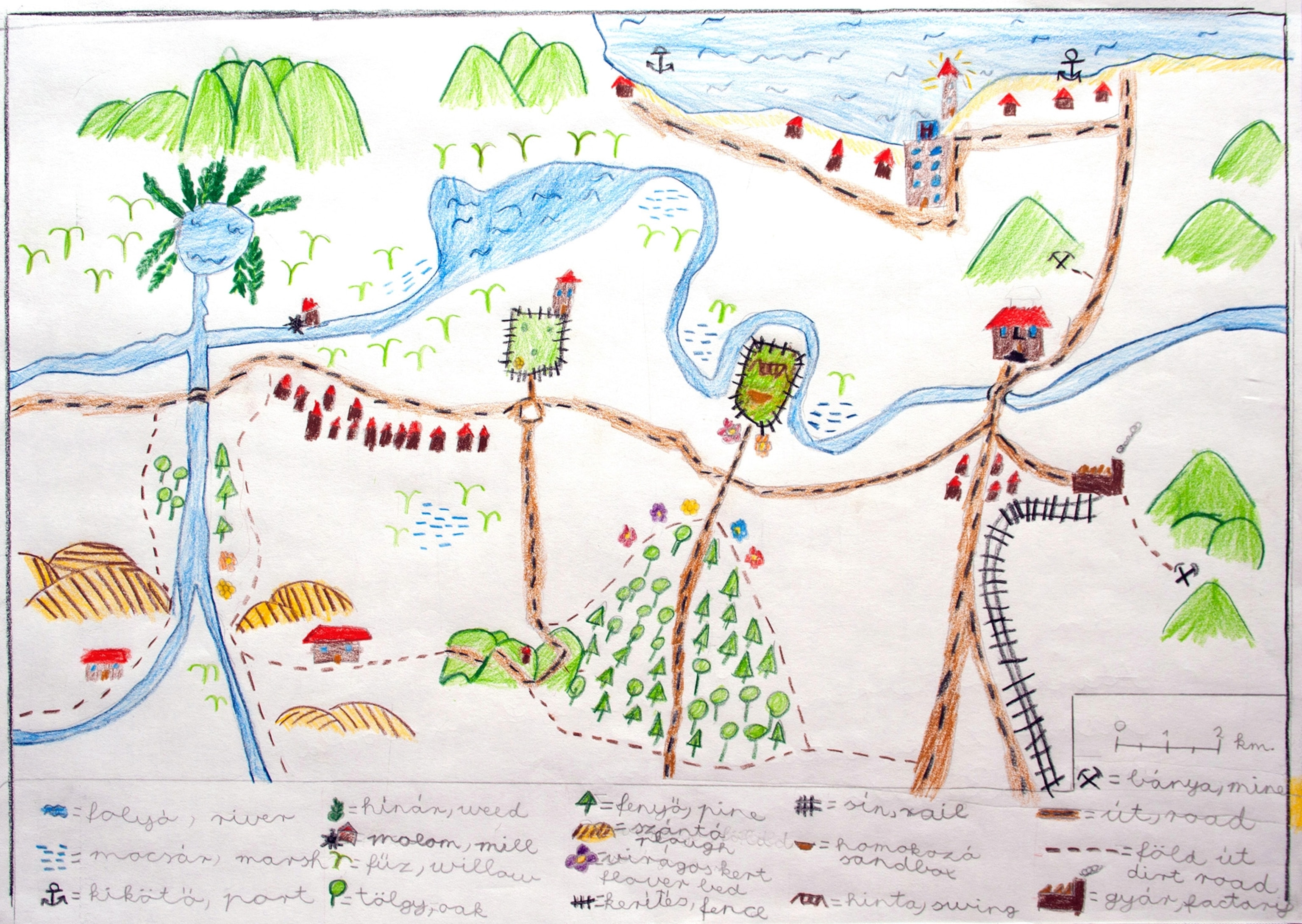
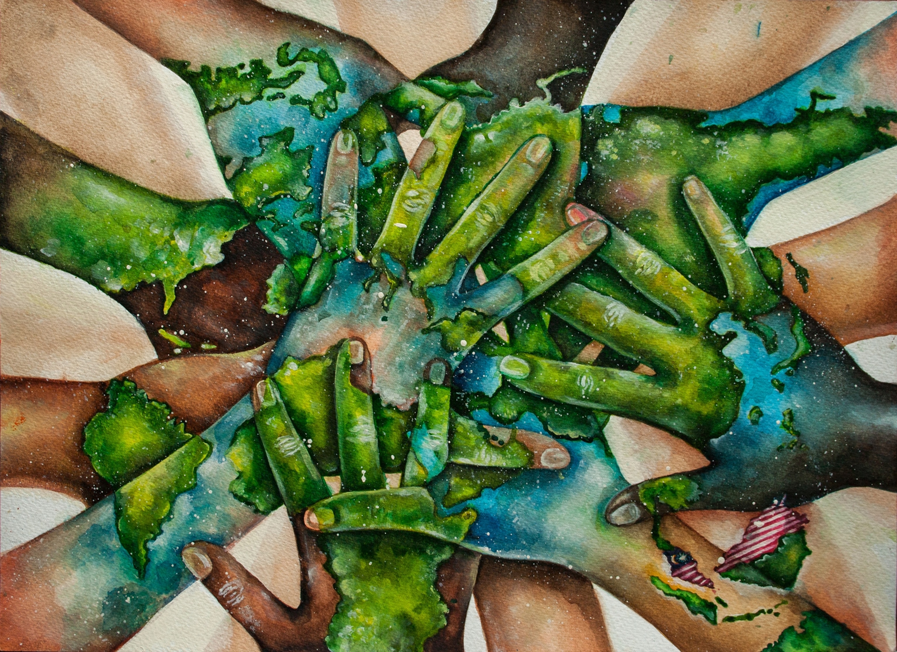
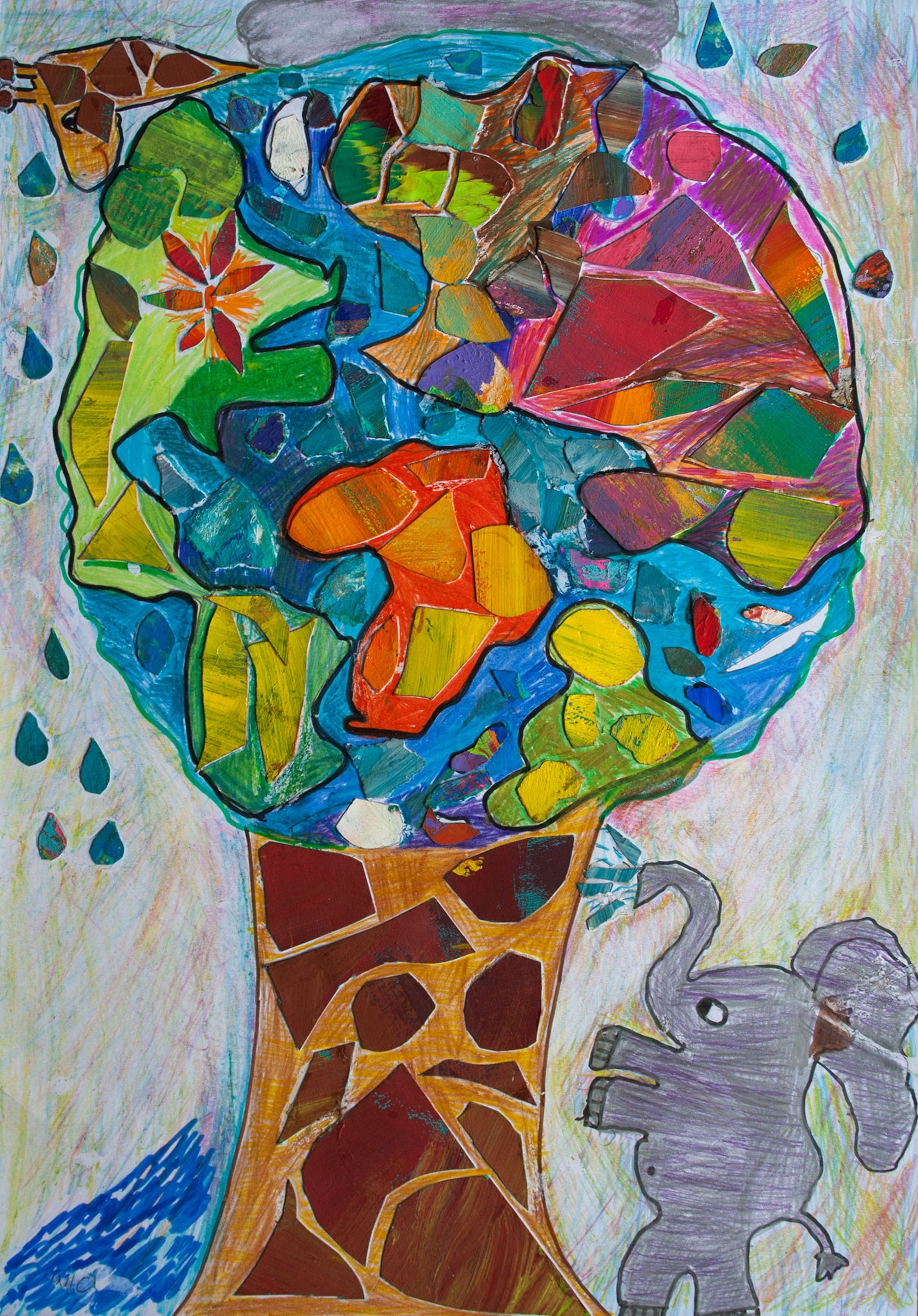
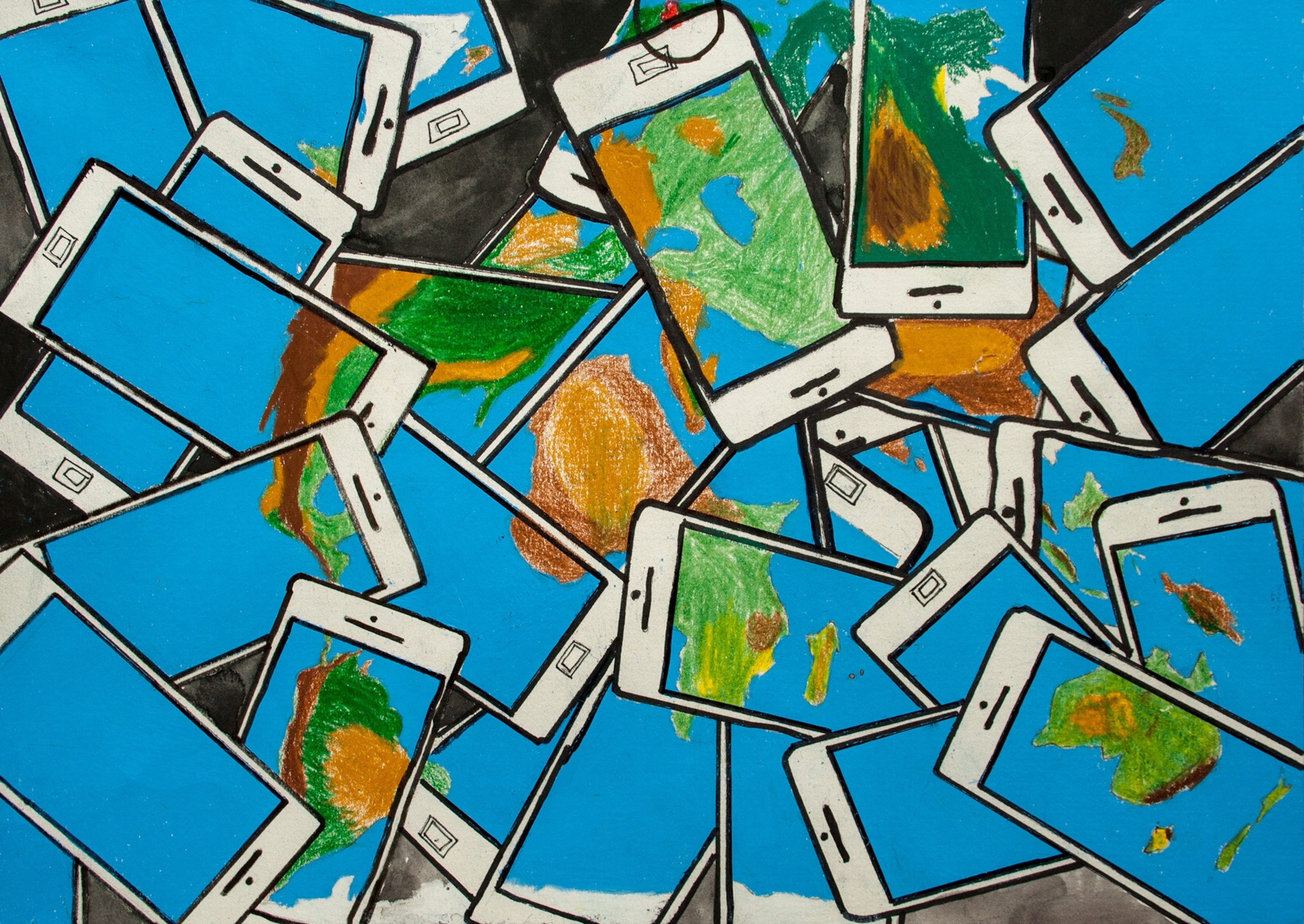
If you want to see the world through a child’s eyes, ask her to draw a map. Or you could spend some time with this collection of maps from the International Cartographic Association’s (ICA) biennial children’s map competition. Kids between the ages of 5 and 15 from all over the world entered the 2015 contest, whose theme was “My Place in Today’s World.” Their work is captivating.
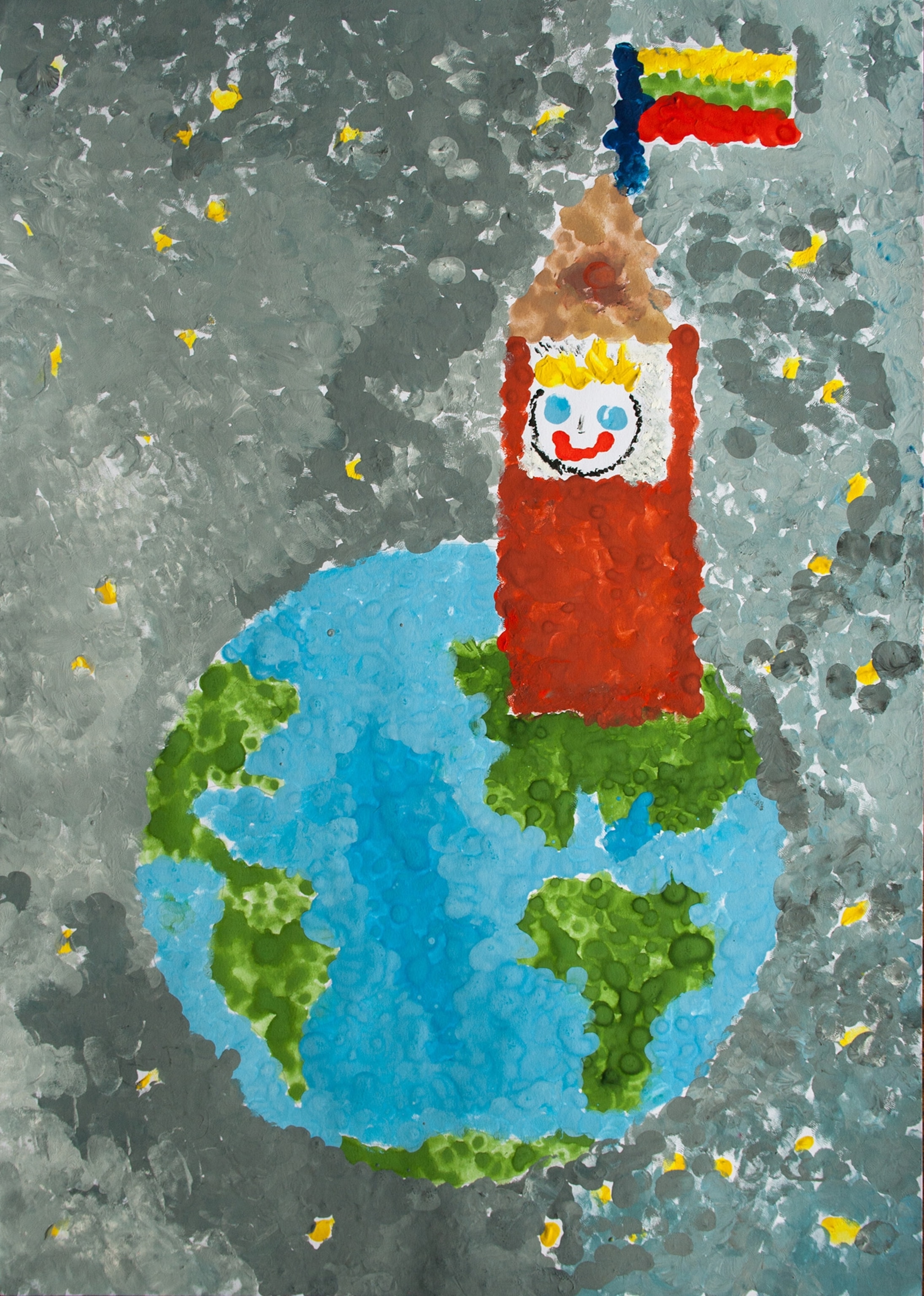
The range of styles, themes, and skills on display is really impressive. Some of the maps are disarmingly adorable, such as the winner of the under-6 age group below (by Adam Paketur of Lithuania, who was 5 years old when he made it). Some of the maps in the older age groups look like they were done by professional artists—and it’s easy to imagine some of the kids who made them will go on to become just that.
In commemoration of International Map Year, in 2015-2016, the mapping software company Esri has published a book of the winners and some of the finalists from the most recent competition, in 2015. We’ve included a few of our favorites from that competition in the gallery above.
The book also includes a selection of 50 maps from previous competitions, arranged into a children’s atlas of the world. The atlas includes sections of beautiful physical maps, impressive political maps, and interesting thematic maps on topics including endangered species, land use, military spending, and health care. The final section is full of really creative maps that include lots of pictorial elements or mixed media such as metal, stamps, or ceramics.
The competition was founded in 1993 in honor of American cartographer Barbara Petchenik, who dedicated part of her career to maps related to children’s education. The 2015 competition featured maps from a record 38 countries. Those countries selected 189 finalists that were exhibited at a meeting of the ICA in Rio de Janeiro. The winning maps were chosen by an international panel of ICA members.
The winners of the 2017 competition will be announced and exhibited in July at the ICA conference Washington, D.C. This year’s theme is “We Love Maps.”
If you like the maps in this post, you may also like our collection of cartographers’ adorable childhood maps and our post on really impressive maps drawn by 19th-century schoolgirls. And if you’re a K-12 teacher whose students make maps at school, let us know!
Follow All Over the Map on Twitter and Instagram.

