Color a World or United States map with flags
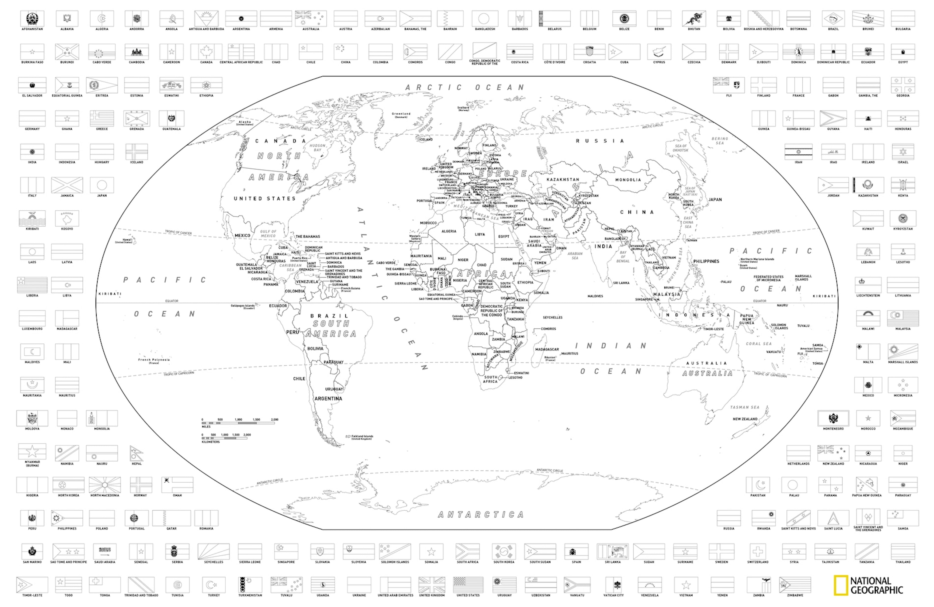
Download and print these free coloring maps with flags.
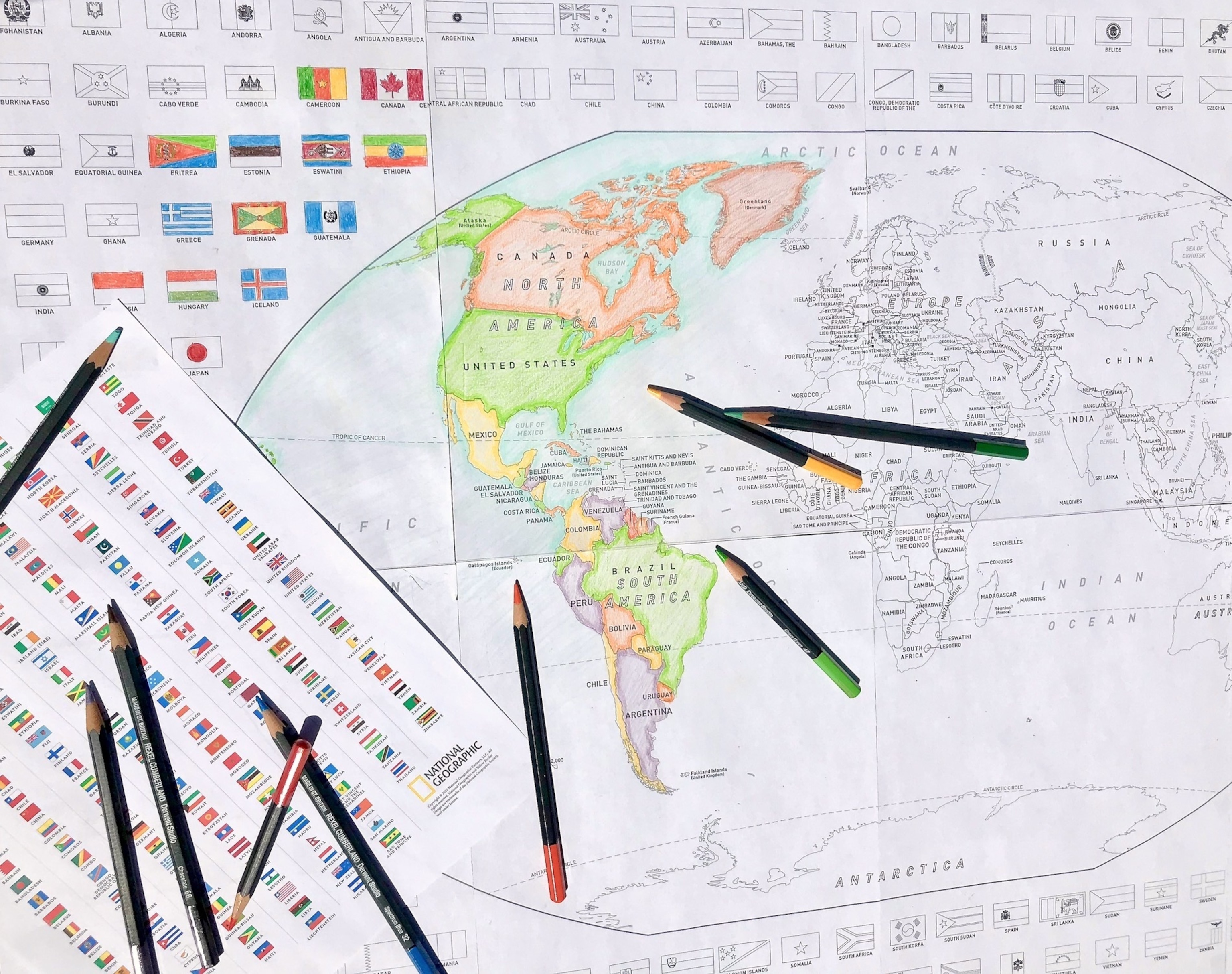
Looking for a fun activity you can do with your kids to reduce stress and learn geography? Well you're in luck, because the cartographers at National Geographic have adapted our World for Kids and United States for Kids maps to create versions that you can print, assemble, and color at home with your family. Color the places your family has been, or the places you dream of visiting together. By the time you're done, you'll know a lot more geography than when you started.


Instructions
1. Download the nine page PDF documents.
2. Print the eight map panels and the key to flag colors on the ninth page.
3. Trim the unprinted margins of the map pages with an exacto knife and straight edge.
4. Line up and "edge-match" the map sheets 4 wide and 2 high, aligning the boundaries and placenames across pages.
5. Tape the sheets together to form a single 36 x 24 inch map, but don't tape on the front where you will be coloring.
6. Color the regions and flags with sharp pencils. Refer to the flag key page for the flag colors, or look them up online.
Pro Tip: Place the sheets face-down on a light table or face-out on a window to edge-match the sheets, and carefully tape the seams. Alternatively, align the pages face-up on a table or the floor and apply small strips of tape on the front where you won't be coloring to hold the pages in place temporarily, then flip the loosely assembled map and tape all of the edges thoroughly from the back.
You can also order these coloring maps printed on 24 x 36" paper and shipped to you in a tube, as well as hundreds of other National Geographic wall maps on Amazon.com and NatGeoMaps.com.


