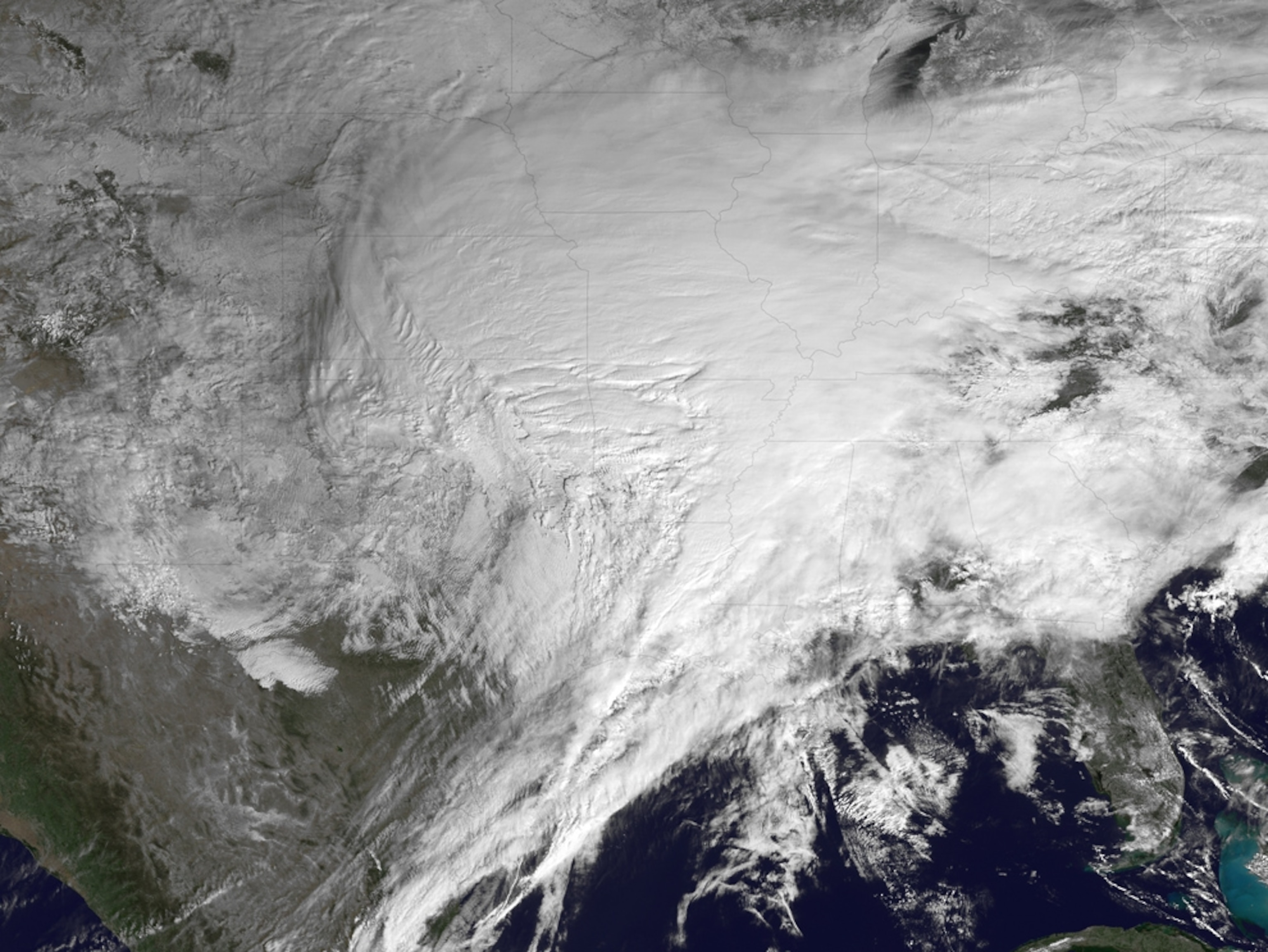
"Killer" Winter Storm Seen From Space; U.S. Blanketed
Worst storm this winter shatters snowfall records.
You could call it Snowpocalypse 2011—one of the biggest and worst winter storms since the 1950s has walloped at least 30 U.S. states, according to NASA.
Snow, sleet, freezing rain, and just plain old rain have fallen as part of a massive system that stretches from Texas, through the Rockies, and into New England. (Explore an interactive map of the United States.)
NASA satellites have been monitoring the storm's clouds and movement every 15 minutes, beaming back pictures of much of the U.S. blanketed in white, including the above picture, taken Tuesday.
In particular, the storm has brought blizzard conditions to the Midwest, severe ice buildup in the Mississippi River valley, and heavy rain and thunderstorms in the Deep South, according to NASA.
(See your winter-storm pictures on National Geographic's website.)
Some cities in the northeastern U.S. have already experienced record snowfall, such as Philadelphia, which has received 37 inches (91 centimeters) of the white stuff this winter, and New York City, which has seen 56 inches (142 centimeters).
The 20.2 inches (51.3 centimeters) of snow that hit Chicago during this winter storm alone make it the third biggest in the Windy City since record keeping began in 1886, according to the National Weather Service.
Though the storm began to loosen its grip on the Midwest Wednesday, the National Weather Service released a blunt warning reminding Chicago residents to stay off the roads and be careful shoveling snow. Traffic accidents and heart attacks due to overexertion are common causes of death in snowy weather.
(See pictures of a deadly winter storm in Asia.)
"Winter storms can be considered deceptive killers," the warning read. "It cannot be stressed enough that a silent danger may loom."