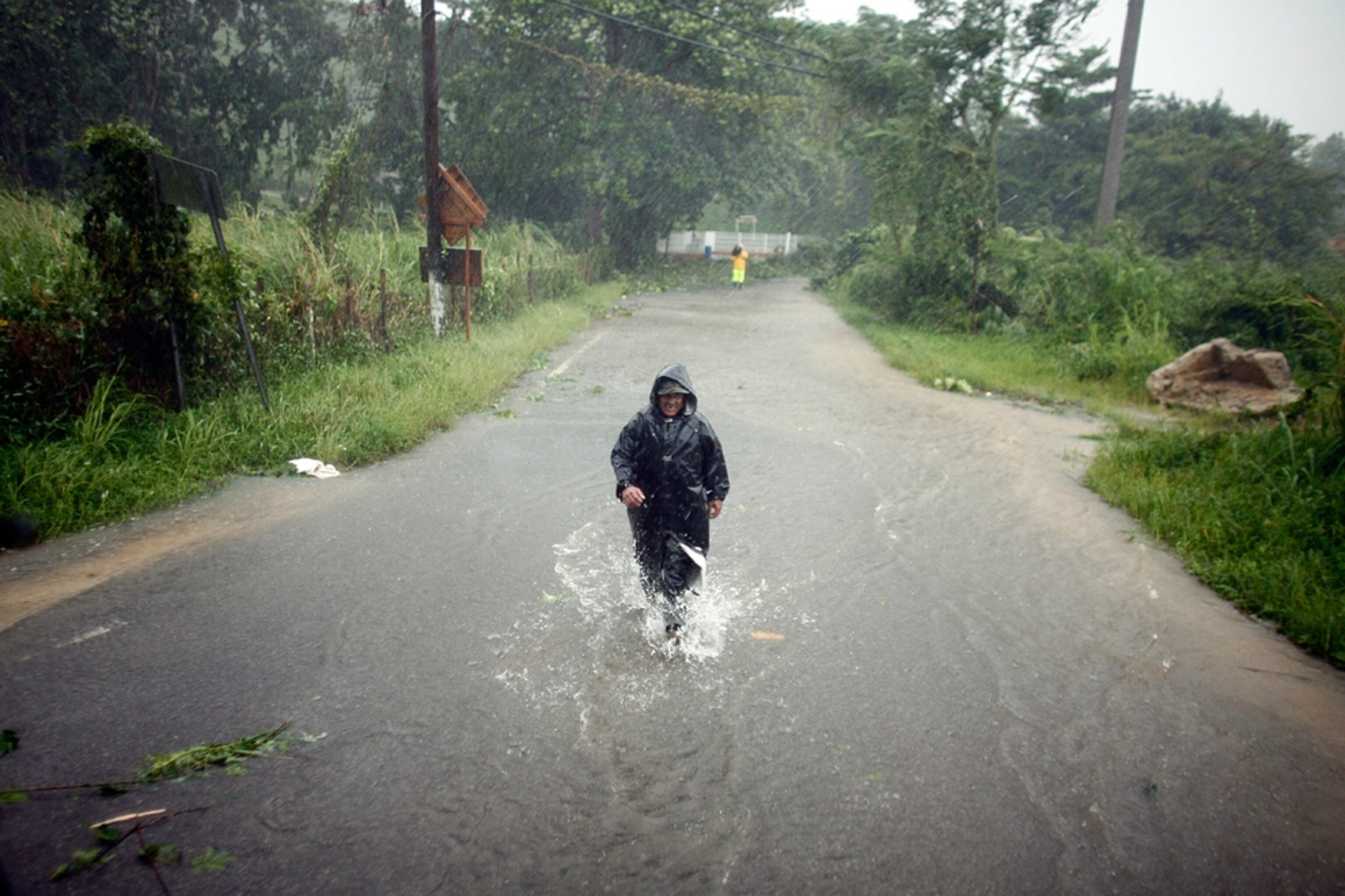
Hurricane Irene Headed for U.S. East Coast
Storm comparable to 1999's devastating Hurricane Floyd, experts say.
A strengthening Hurricane Irene could make landfall on the North Carolina coast this weekend as a major hurricane, with winds exceeding 110 miles (177 kilometers) an hour.
The storm could be comparable to Hurricane Floyd, a devastating 1999 hurricane that made landfall in North Carolina and caused more than U.S. $9 billion in damage in the U.S. and Canada, according to meteorologist Jeff Masters, director of the website Weather Underground. (Watch hurricane videos.)
As of 8 a.m. today, Hurricane Irene was just off the northern coast of the Dominican Republic. The storm and its hundred-mile-an-hour (160-kilometer-an-hour) winds are expected to move northwestward over the Bahamas and make a gradual turn to the north.
By Thursday morning, the storm is expected to be traveling due north toward North Carolina as a Category 3 hurricane, meaning that it will have winds of 111 to 130 miles (178 to 209 kilometers) an hour.
(See "Big Hurricane Season Predicted—Has U.S. Run Out of Luck?")
Warm Water Fueling Hurricane Irene
Irene will travel over very warm waters as it moves northward, allowing the storm to maintain its intensity as it approaches the North Carolina coast. Hurricanes draw their power from seawater that has been heated to at least 80 degrees Fahrenheit (26 degrees Celsius), and the waters that Irene will encounter during its trek north from the Bahamas are even warmer.
The National Hurricane Center's current five-day forecast predicts that Irene will come ashore Saturday morning somewhere around Morehead City, North Carolina, and move north-northeast over the Pamlico and Albemarle Sounds toward the Chesapeake Bay (see map).
By Sunday morning, Irene could be over the Delmarva Peninsula as a weakened Category 1 hurricane with winds of 74 to 95 miles (119 to 152 kilometers) an hour.
Still, Masters noted that five-day hurricane forecasts have a wide margin of error, and Irene's actual track could vary as much as 350 miles (560 kilometers) to the west or east.
If upper-level winds known as the jet stream push southward, the hurricane could be pushed offshore, noted meteorologist Keith Blackwell of the University of South Alabama's Coastal Weather Research Center.
But if those winds don't push southward, Irene is likely to come ashore on the North Carolina coast, he said.
Share your Hurricane Irene video with the National Geographic Channel >>