Japan Quake Lifted Seabed 16 Stories—Largest Recorded
Giant slip may have spawned deadly tsunami, study says.
Japan's devastating March 11 earthquake shifted the seabed by as much as 165 feet (50 meters)—the largest slip yet recorded, a new study says.
That's considerably larger than in previous reports, which in May put the shift at 79 feet (24 meters).
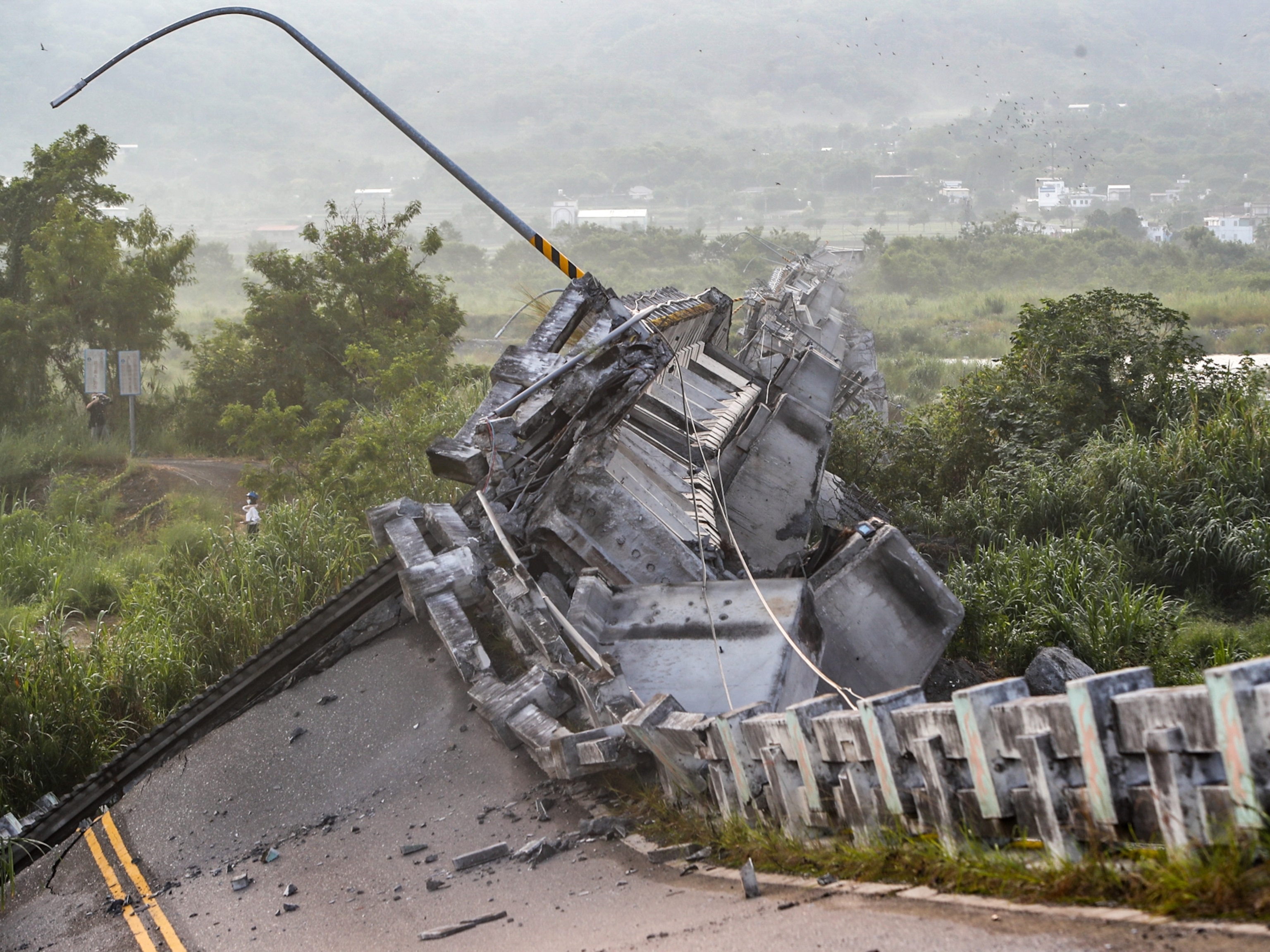
(See 20 unforgettable pictures of the aftermath of the Japan earthquake and tsunami.)
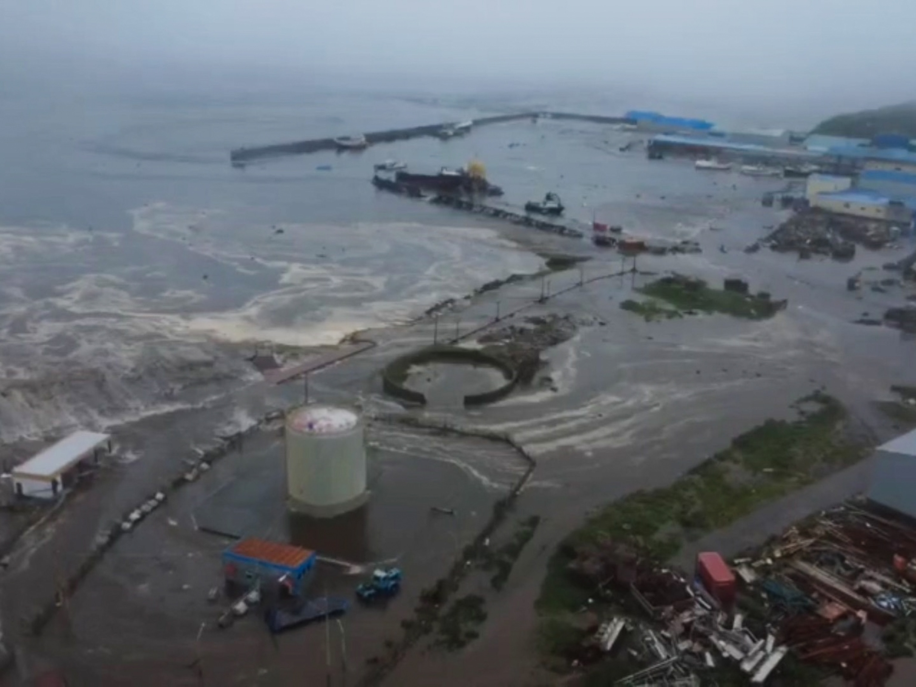
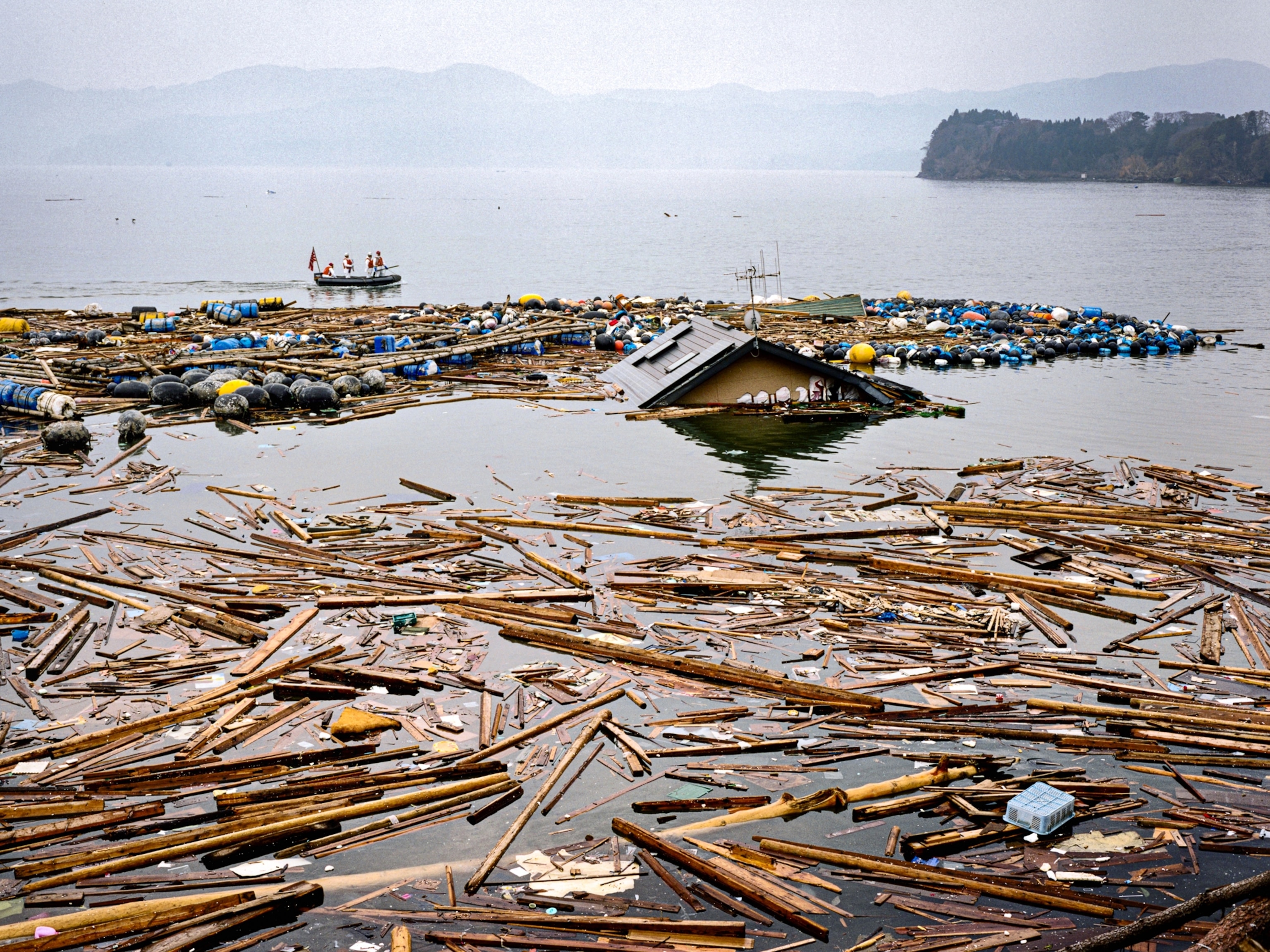
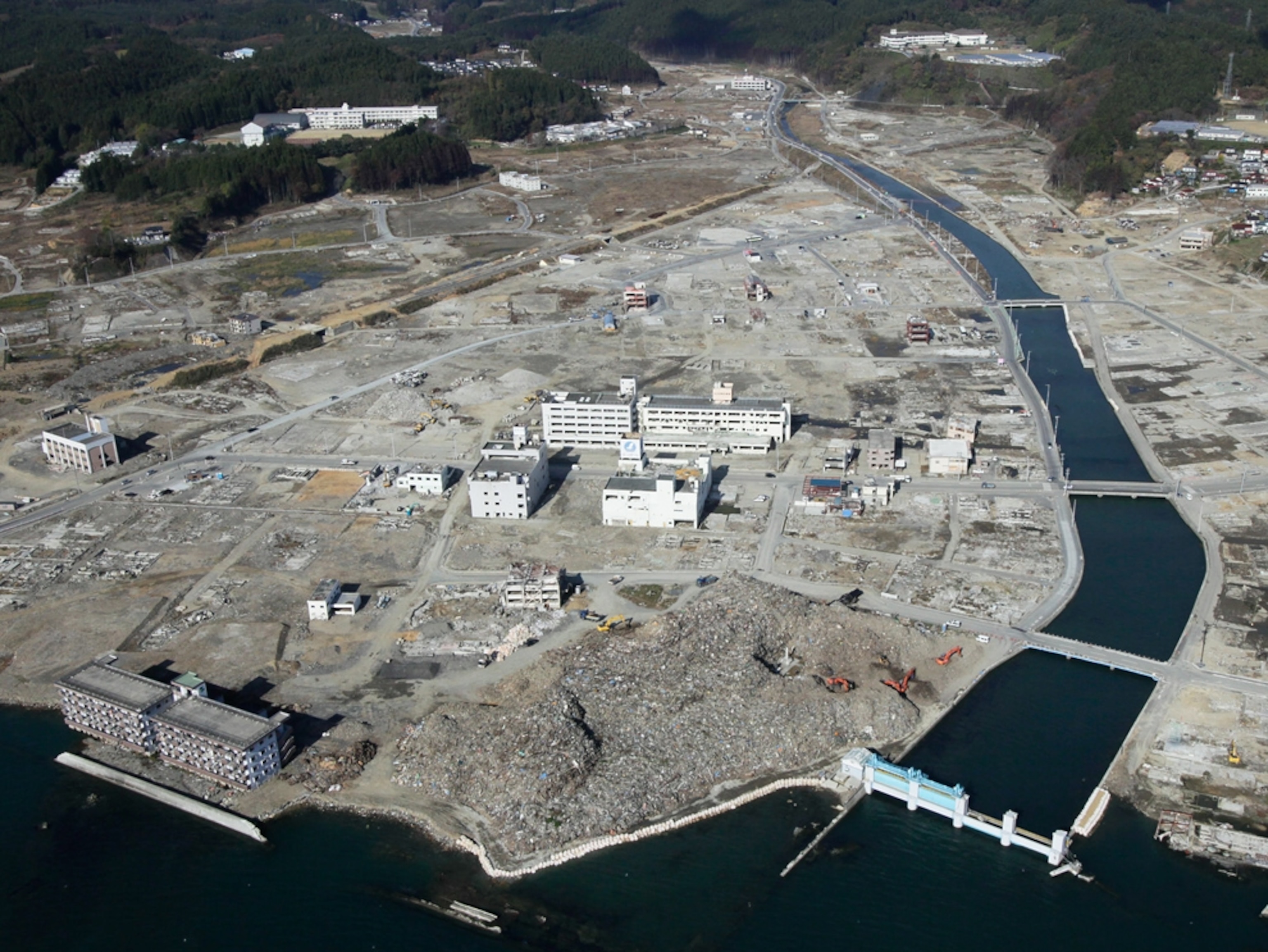
This giant movement probably caused the massive tsunami that killed more than 15,000 people and crippled the Fukushima Daiichi nuclear power plant (pictures).
For the study, Toshiya Fujiwara and colleagues at the Japan Agency for Marine-Earth Science and Technology compared seabed maps made in 1999 and 2004 to those made only days after the March quake.
Their analysis also revealed the seabed may also have risen by as much as 33 feet (10 meters).
"This is a very important piece of work, in some ways that may not be obvious at all," said Chris Goldfinger, a marine geologist at Oregon State University who was not part of the study team.
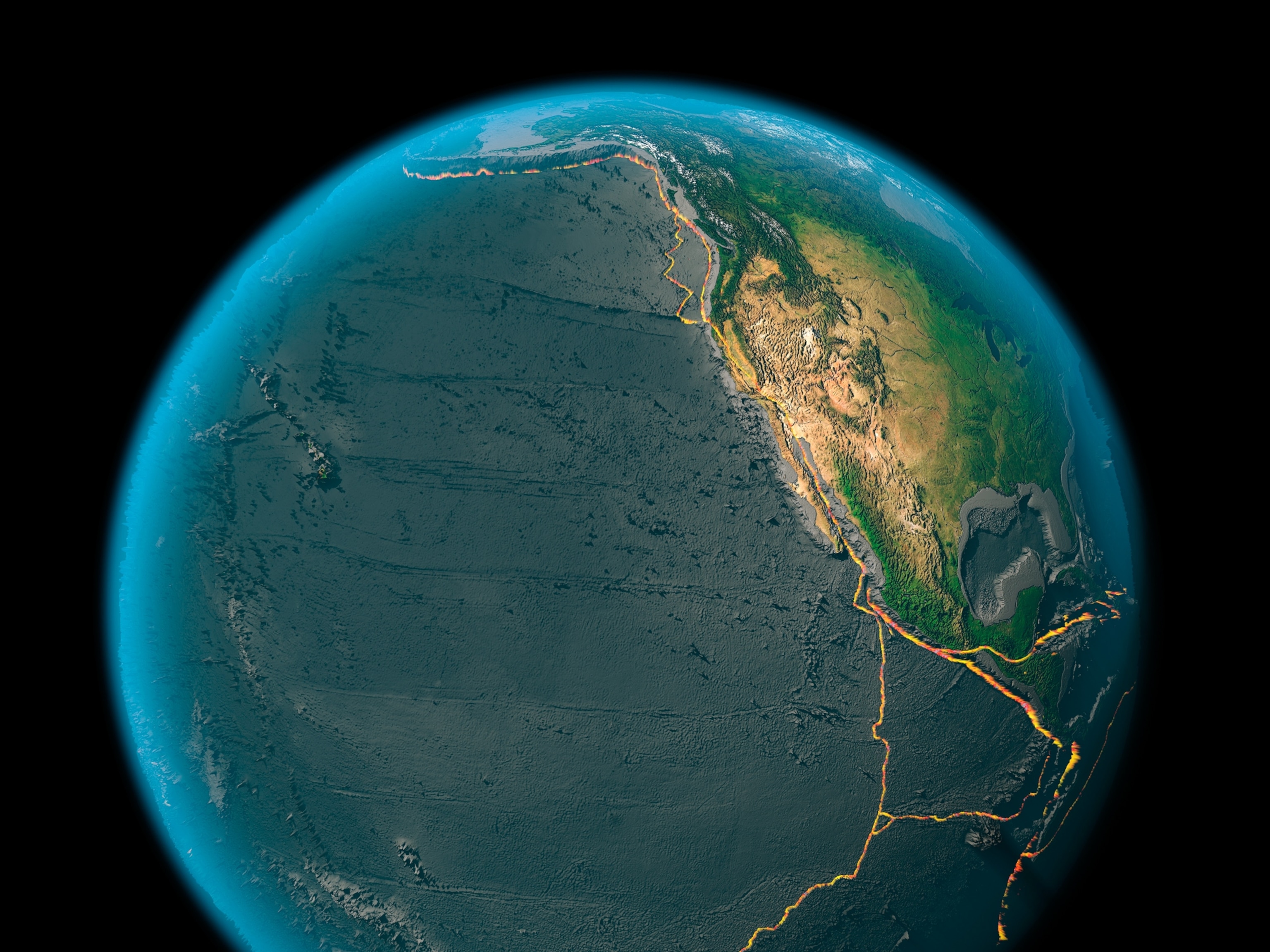
The earthquake was the first in a subduction zone—a place where one tectonic plate is diving under another—in which scientists have been able to look directly at movement of pieces of Earth's crust right up to the edge of the fault line.
(Related: "Japan Earthquake Shortened Days, Increased Earth's Wobble.")
Japan Quake Study at a "New Level"
Because subduction-zone earthquakes occur deep beneath the ocean, they are invisible from land.
In the past, scientists have had to deduce seabed shifts via seismic waves emitted by an earthquake. But that requires computer modeling, and the results can be frustratingly uncertain, Goldfinger said by email.
For example, the results may be specific to the model and are unable to capture the shifts at high resolution or with great accuracy.
But the new research, to be published tomorrow in the journal Science, will "open up a new level" in understanding how subduction zones behave and generate tsunamis, he said.
(Read more about earthquake prediction.)
Before-and-After Quake Picture Not Perfect
Even so, the before-and-after pictures of the seabed shift aren't perfect, Goldfinger cautioned.
The Japanese team's original surveys were taken several years before the earthquake, and the "after" surveys were taken nearly two weeks later.
"The displacement [of the seabed] included everything that occurred between the surveys," he said.
That includes not only the devastating earthquake but its aftershocks, as well as any less destructive "creeps"—or small movements—that might have occurred before the March temblor.
Still, it's a major find, he said, because few subduction zones have been mapped well enough to allow such before-and-after images to be compared at all.
