Landslides in the United States Since 2007
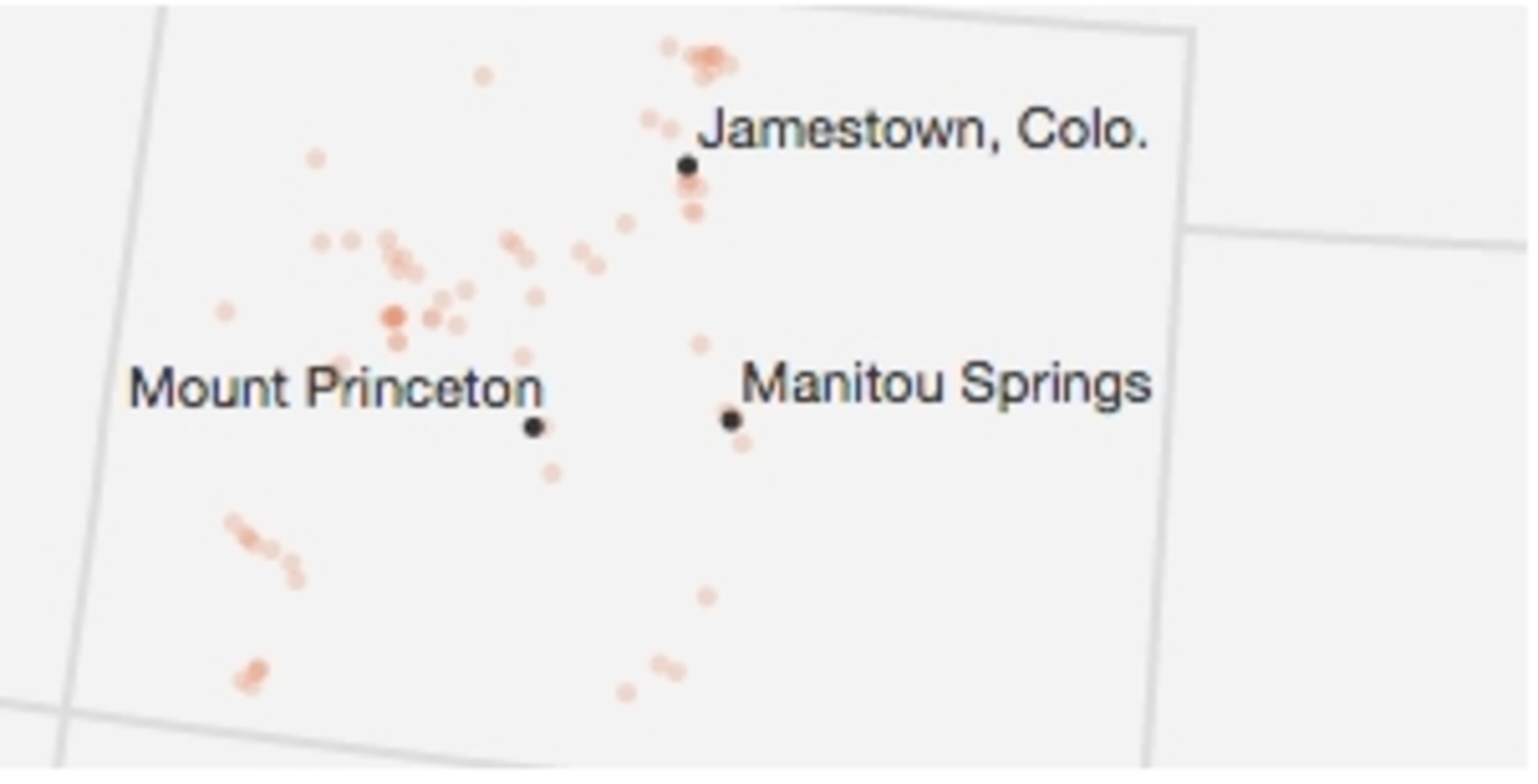
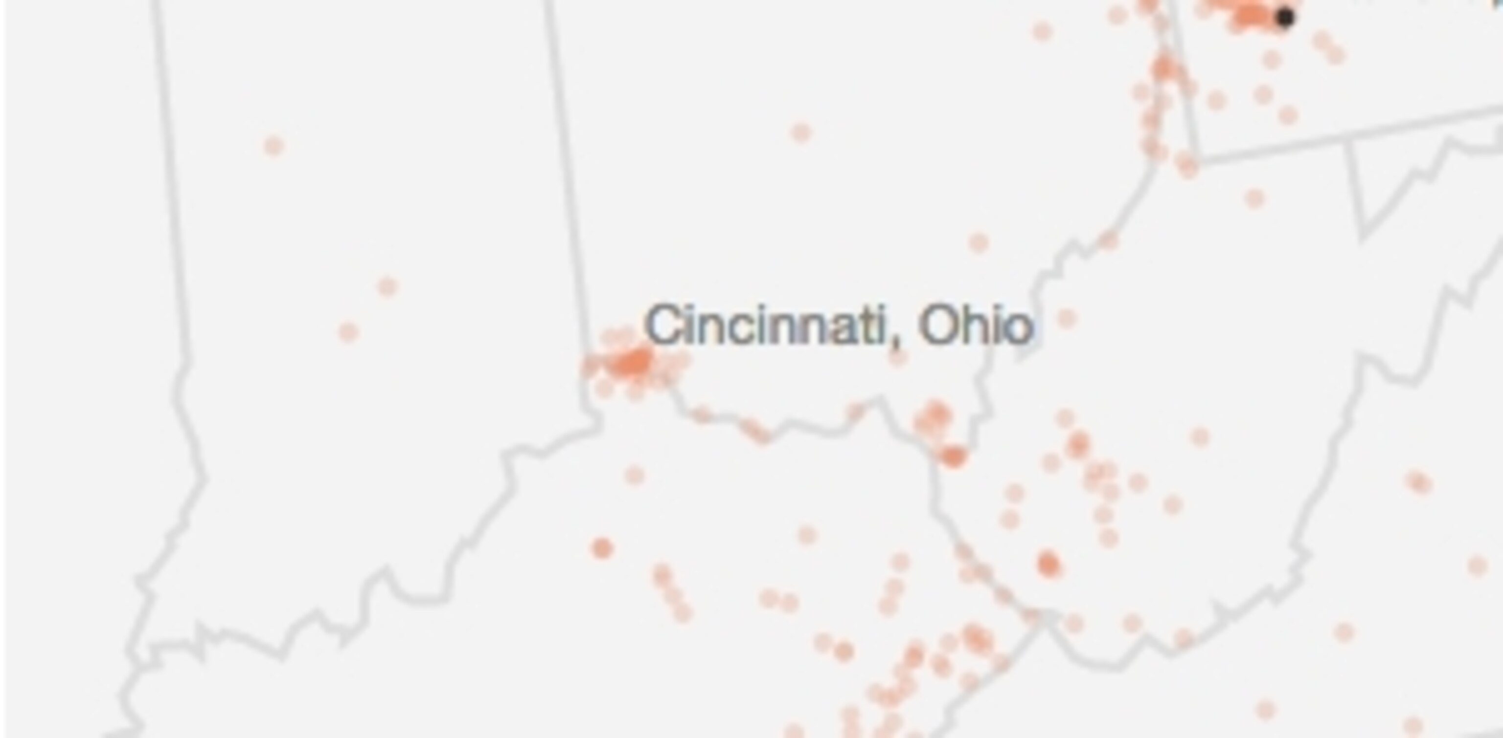
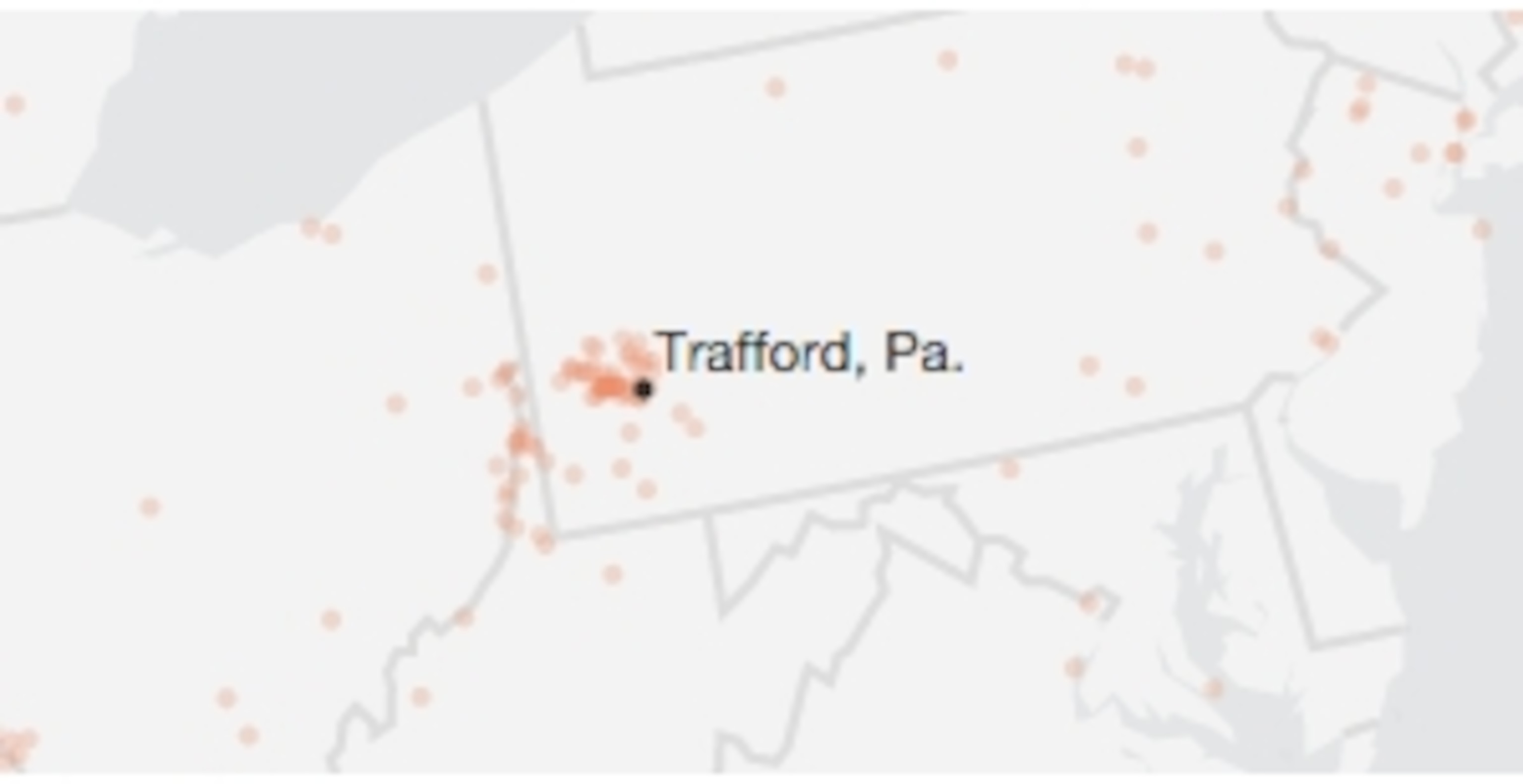
A map of U.S. landslide events between 2007 and 2013.
The March 2014 landslide in Oso, Washington, a month ago today, called attention to the lack of a national system to monitor landslide data. The U.S. government prepares hazard maps for other types of natural disasters like earthquakes and floods, but not for landslides. Even though they cause up to 2 billion dollars a year in damages nationwide, most data is collected at state level. NASA’s Global Landslide Catalog (GLC), which collects data from media reports and disaster databases, is the first attempt to survey rainfall-triggered landslides.

Western Washington: Heavy winter rains
With western Washington's heavy annual winter rains, landslides are relatively common along the region's steep hillsides. Few have been as deadly as the March landslide in Oso, yet the risk to people is increasing with development in landslide-prone areas.

Southern California: Wildfires
Intense winter storms cause landslides in southern California, especially in areas where forest fires have damaged root systems that stabilize the soil. The La Conchita slide, which killed ten people in 2005, is part of the larger Rincon Mountain slide—a recurring, prehistoric landslide that gets triggered by heavy rains.

Colorado: Road blasting
Most Colorado landslides are small and occur along Rocky Mountain highways, where rocks have been blasted to make way for roads. In September 2013 the state’s Front Range saw record rain, which led to floods and landslides that destroyed more than 1,500 homes.

Cincinnati, Ohio: Soft rock
Nicknamed the landslide capital of the United States, the Cincinnati area has per capita costs from landslide damage that are among the highest in the country. The region’s bedrock is composed mainly of shale, a soft rock that easily erodes in wet conditions.

Pittsburgh, Pennsylvania: Clay red beds
Southwestern Pennsylvania’s geology and steep slopes contribute to the high number of landslides in the area. The Pittsburgh red beds, a thick clay-and-shale rock layer, drain poorly during heavy rainstorms, making hillsides more prone to instability.
SOURCE: DALIA B. KIRSCHBAUM, GLOBAL LANDSLIDE CATALOG (GLC), NASA; Data Copyright © 2014 United States Government as represented by the Administrator of the National Aeronautics and Space Administration. All Rights Reserved. Note: GLC does not represent a comprehensive list of landslides; it helps identify significant location and time patterns.