Wind, Snow, and Floods—What You Need to Know About the Northeast's Dangerous Winter Storm
A clash of cold, dry air with warm, moist currents was able to stir up the perfect winter storm.
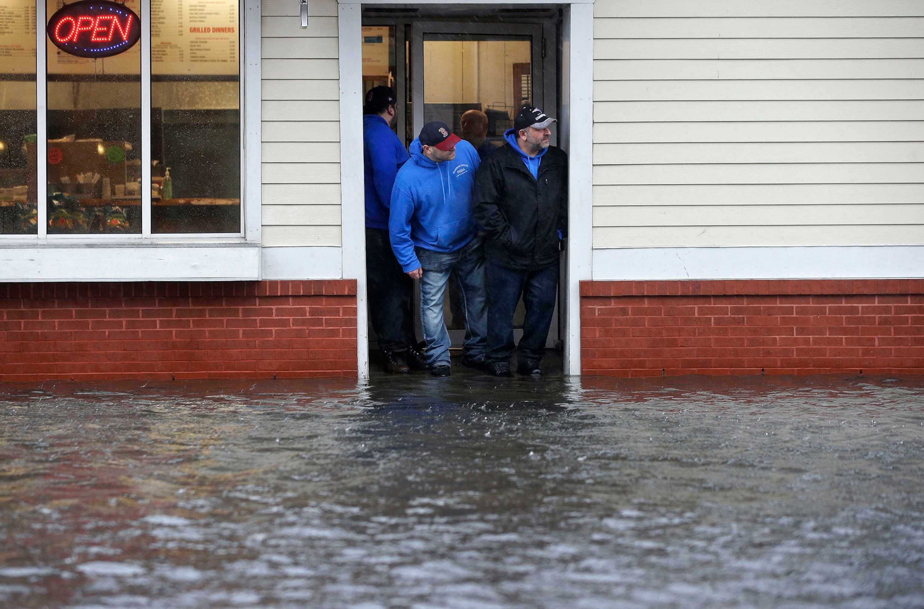
At the beginning of March, a winter storm named Riley pummeled the Northeast with a one-two punch of high winds and heavy snow. It churned up high tides and created coastal flooding as the storm transformed into a nor'easter. Then, Winter Storm Quinn took a crack at the area and continued the chaos. Now, Winter Storm Skylar is getting in on the action.
But how do such winter storms form? And what, exactly, is a nor'easter? Those questions and others explained below. (Related: "Bomb Cyclones and Polar Vortexes—This Winter's Scary Weather Explained")
How do winter storms form?
Winter storms, weather events containing snow, sleet, or freezing rain, are made up of low-pressure centers, warm fronts, and cold fronts. (Watch: "Frozen Bubbles, Instant Ice, and Other Winter Weather Stunts Explained")
All the right dynamics need to be in place to churn up a winter storm. For starters, the jet stream must be properly positioned in the mid-latitude United States. A moist, warm air mass must be drifting up from the south, due to collide with northern polar air cold enough to plummet temperatures.
Air moves from areas of high pressure to those with low pressure. As the jet stream dips in winter weather, it draws cold, dry air southward. Concurrently, warm, moist, tropical air drifts northward during the winter months, bringing together all the pieces for a perfect winter storm. In the United States, winter storms are common between November and April, though they have been recorded in October and May.
Winds blow based on the Coriolis effect, where the rotation of the Earth causes air currents to swirl while they move away from high-pressure areas. In the Northern Hemisphere, these winds move counterclockwise and create cyclones. As the low-pressure center forms, warm southern air circulates north on the eastern side of the center, while cold, northern air flows south on the west side.
The center of a storm will often form along the boundary of a weather front, the transition zone between two air masses of different densities. With the right tropospheric conditions, intense winter storms can develop. How strong a storm is depends on the location and strength of the jet stream, and how it's disturbed by air higher up in the atmosphere. The strength of horizontal gradients of temperature and availability of moisture also play a role.
That's great, but where does the snow come from?
Related: 13 Striking Pictures of Extreme Weather
To form the fierce snowfall that makes up blizzards, you need cold air, warm air, and moisture. Cold air can't hold much water vapor, but warm air can be quite moist. When the two collide, the warm air rises over the cold air and triggers the physical reaction that forms ice crystals. (Related: "'Heavenly' Ice Halos Form Over New Mexico—What Causes Them?")
These crystals then clump together into snowflakes and fall to Earth. On their way down, they're whipped around by strong winds, causing dangerous conditions that can wreak havoc. (Related: read about how ice-melting salts are hurting North America's waterways.)
What are nor'easters, and how do they form?
As the name suggests, nor'easters are macro-scale cyclones that hit the northeastern United States. They form along the East coast as warm air from the Atlantic Ocean collides with cold arctic winds to the north and west.
A hurricane, the nor'easter's warm-weather counterpart, differs in that it has a narrow range of strong winds around a warm, low-pressure core—nor'easter winds are more dispersed around a cold, low-pressure center.
What's going on with U.S. weather?
After Winter Storm Riley clobbered the East, another storm made its way across the West. Moving south from the Gulf of Alaska, a dip in the jet stream provided the right conditions to stir up Winter Storm Quinn. This week, Winter Storm Skylar will bring snow up from the Appalachians to bring harsh conditions to coastal New England. The effects of the storm will mostly be felt Tuesday, which could make commuting more difficult.


