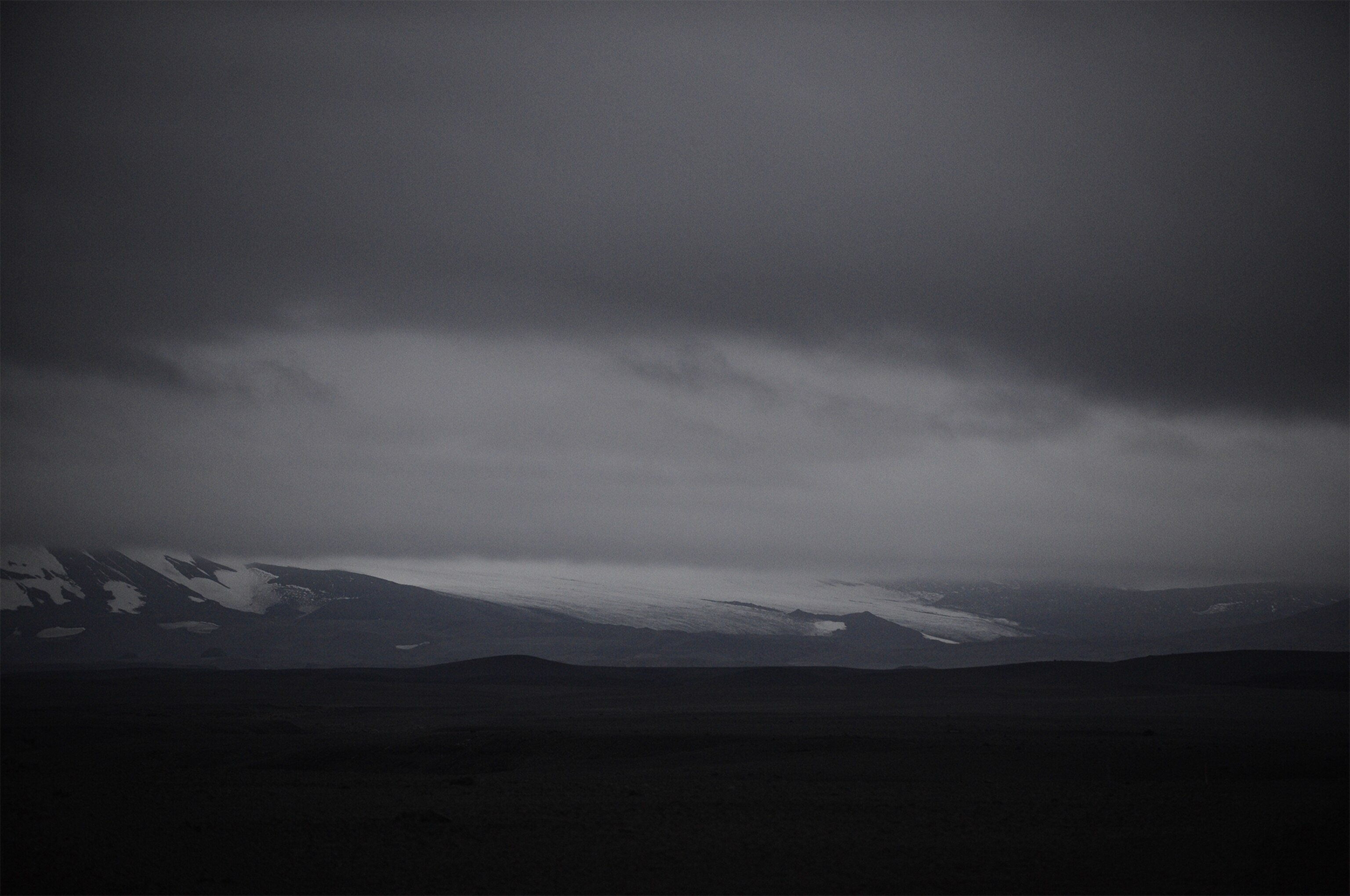
Icelandic Volcano Eruption Leads to Air Travel Warning
Ash clouds from a 2010 eruption halted thousands of airline flights.
Editor's note: Iceland lowered its aviation alert on Sunday, after airplane reconnaissance flights suggested that magma may not, in fact, have erupted from the surface under the glacier.
A small eruption has started beneath a glacier near a large ice-capped volcano in Iceland, raising flooding fears and triggering an aviation warning over potential ash clouds heading skywards.
"It is believed that a small subglacial lava-eruption has begun," announced Iceland's Meteorological Office in a statement on Saturday. The aviation warning code for the region was changed to "red," meaning no overflights, as a result. (Related: "Q&A: Why Iceland’s Volcanoes Have Vexed Humans for Centuries.")
The 2010 eruption of the Eyjafjallajökull volcano triggered floods and ash plumes that halted air travel to Europe, affecting tens of thousands of passengers. (Related: "Iceland Volcano Erupts Under Ice, Triggers Floods.")
The small eruption seems to have come from beneath the Dyngjujökull glacier, according to the statement. About 328 to 1,312 feet (100 to 400 meters) of ice cover the still subglacial eruption. No ash clouds are reported.
Icelandic officials had reported that the minor quakes, including a magnitude 4.5 one that struck early Saturday, have occurred near the Bárđarbunga volcano, the country’s second highest mountain at 6,560 feet (2,000 meters). It lies in the remote central region of Iceland under the largest glacier, Vatnajökull. (Related: "Pictures: Iceland Volcano Erupts, Under Ice This Time.")
No one lives near the volcano, but with nearly one temblor striking per minute, officials had evacuated tourists from the area north of it, where floodwaters would flow.
A full-scale eruption from the region, "could be a moderate-sized one, which will look quite large to most people," says volcanologist Agust Gudmundsson of the University of London in the United Kingdom.
Swarm Physics
The largest of the quakes around the volcano were magnitude 4.5 in size, mild ones. But the continuing pattern of quakes and their drift to the northeast has raised concern among geologists.
"The rate of earthquakes has increased such that they are happening so quickly that it is difficult for the seismologist to discern individual events," according to a summary of the situation from public officials.
Right now a finger of magma, or molten rock, which rose from the Earth's mantle more than 12 miles (20 kilometers) underground, is filling a fracture in the crust beneath the volcano. The plume had appeared to be traveling horizontally to the northeast, veering to the north late in the week. Its temperature is more than 2,200 degrees Fahrenheit (1,200 degrees Celsius).
"It's like molten glass, it's viscous stuff," says geologist Marianne Guffanti of the U.S. Geologic Survey. As it intrudes into surrounding rock, it breaks the rock and triggers earthquakes.
Iceland monitors seismic activity, stream flow from glaciers, and other indicators for signs of an eruption—a highly regarded observation effort that was honed by the 2010 eruptions.
Fire and Ice
Ice caps the volcano, which complicates the efforts at prediction, says Gudmundsson. If the magma erupts beneath the ice, the result would be sudden floods and a buildup of water vapor and pressure under the ice cap that could lead to a tremendous explosion if the magma melts through, sending ash as high as the stratosphere. That’s what happened in 2010.
On the other hand, "Data from radars and web-cameras is being received, showing no signs of changes at the surface," of the glacier, according to Iceland's most recent status report. It could be anywhere from 0 to 20 hours for the magma to melt through. "It is also possible that the lava will not break through the ice, and the eruption could remain subglacial," says the report.
Whether an eruption that breaks through the ice would exactly mimic the one in 2010 is hard to say, since the basaltic magma beneath Bárđarbunga is of a different variety, and the grain size of ash depends on complex interactions with water vapor. Smaller grains travel higher and pose more of a threat to jet engines.
A sudden jökulhlaup flood from the region would sweep north within an hour of the eruption and take nine hours to reach Iceland's northern coast, Gudmundsson says.
Bárđarbunga is more than 124 miles (200 kilometers) from Iceland's capital, Reykjavík, so it poses little threat to populated parts of the island. Aside from some farms on the coastline, no one lives in the barren region threatened with flooding. But its remoteness made evacuation of tourists from the region a reasonable precaution.
Evacuation Precaution
If the magma were to travel far enough horizontally to erupt outside the ice-capped part of the region, then the eruption would look more like lava flows on Hawaii, Gudmundsson says, "only larger."
Like Hawaii, Iceland sits atop a hot spot in the Earth's crust, where magma readily travels from deep in the Earth's mantle to the surface. But it also straddles the Mid-Atlantic Ridge, the boundary along which the European and North American tectonic plates are spreading apart at a rate of about 0.8 inches (2 centimeters) every year. Magma wells up in that rift to fill the gap and produce new crust.
The conjunction of two sources of magma accounts for the prodigious volcanism that has built the entire island of Iceland—a place where significant eruptions are seen about once every five years.
The largest eruption seen worldwide in the last 10,000 years likely took place at Bárđarbunga roughly 8,000 years ago, Gudmundsson says. "There is plenty of magma beneath this volcanic system."
Follow Dan Vergano on Twitter.

