Antique Maps Highlight Korea’s Rich Cultural Heritage
While the Olympic spotlight is on Korea, see the intriguing ways that mapmakers have depicted the peninsula over centuries.
This year’s Winter Olympics in Pyeongchang, South Korea, trains a spotlight on a peninsula that is increasingly the source of geopolitical attention. From firework-filled opening ceremonies to a smiling white tiger mascot, the games have given South Korea a chance to project its culture to the world. We thought we’d offer a different glimpse at Korea’s self-image—through maps.
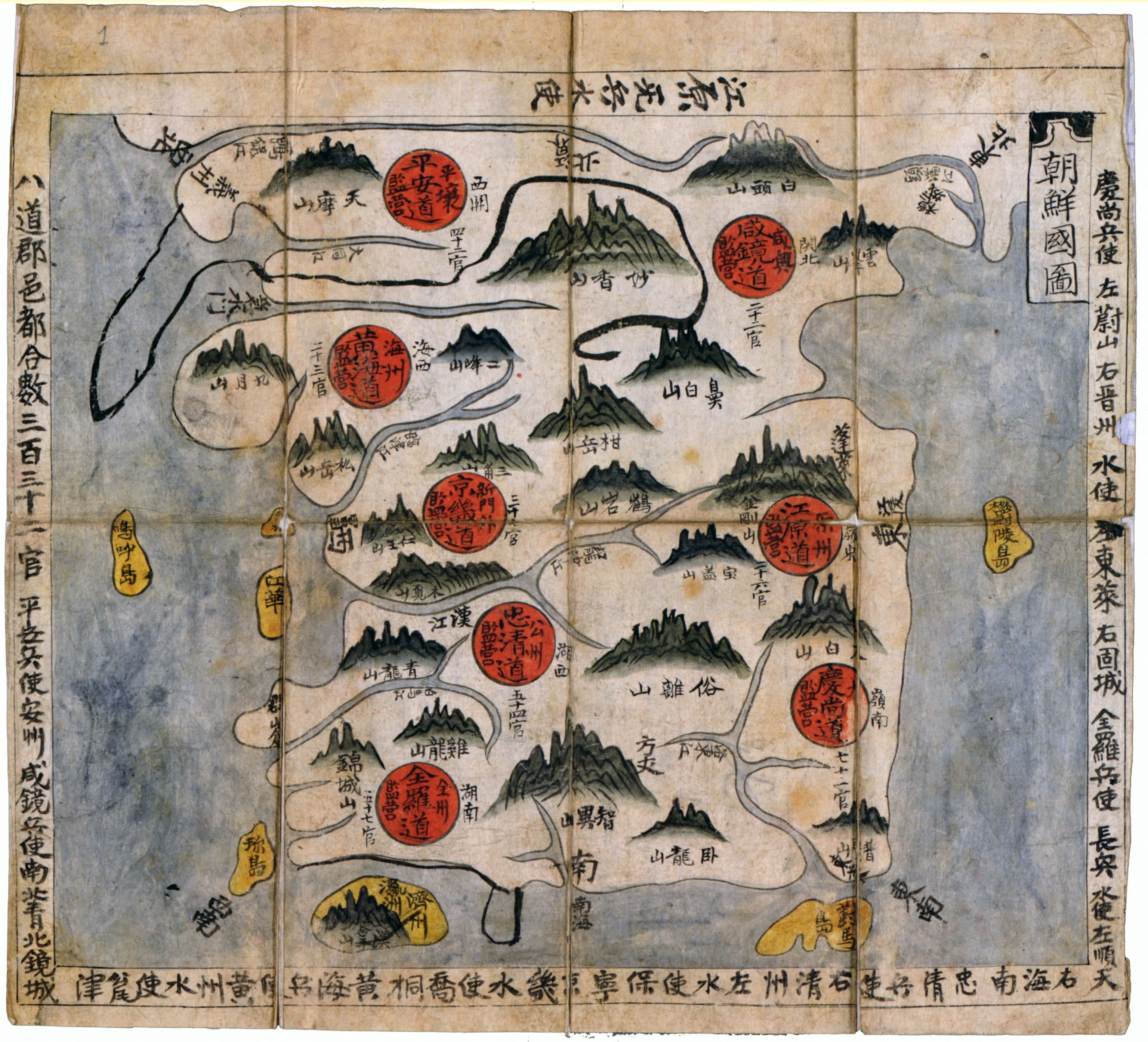
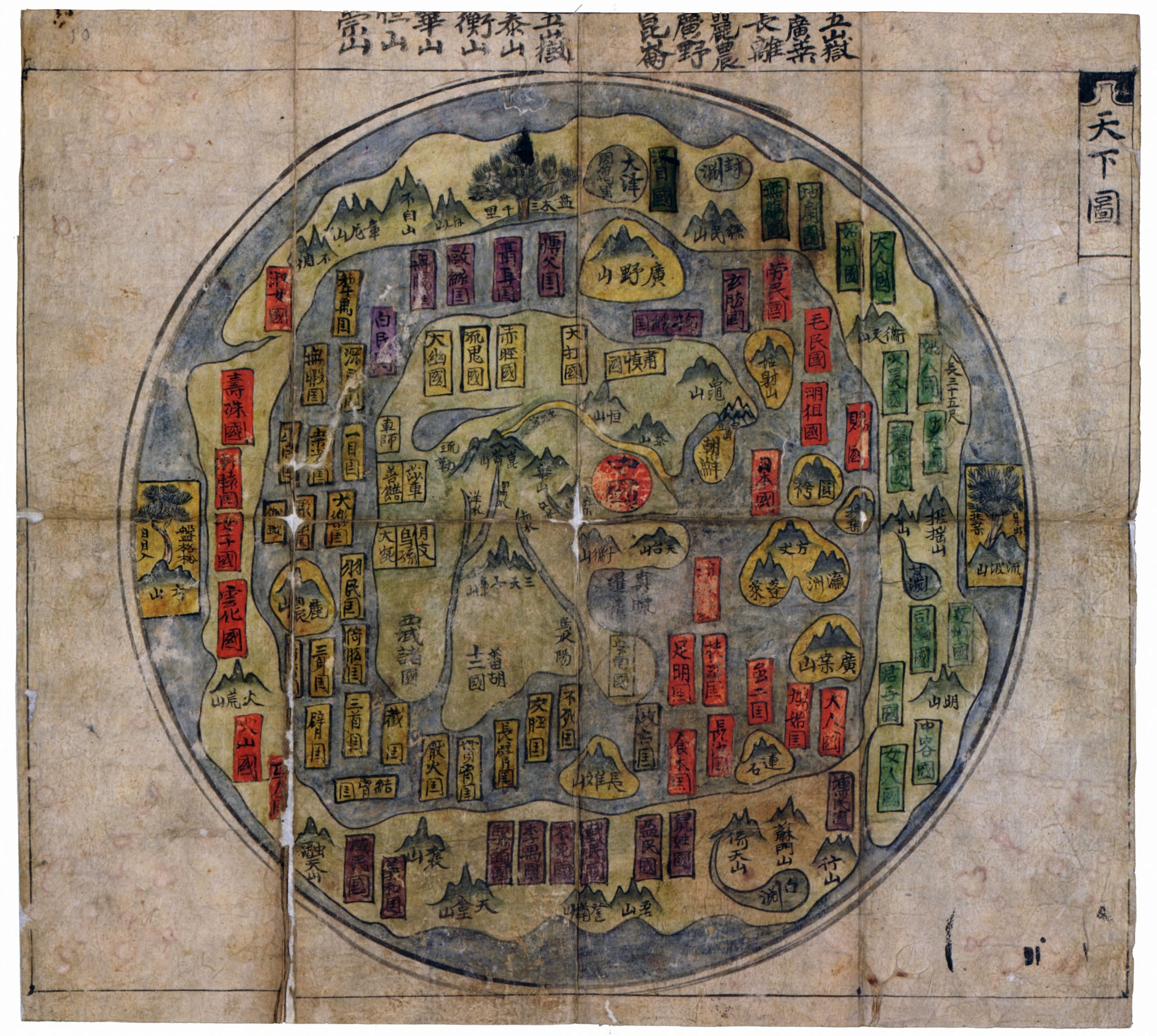
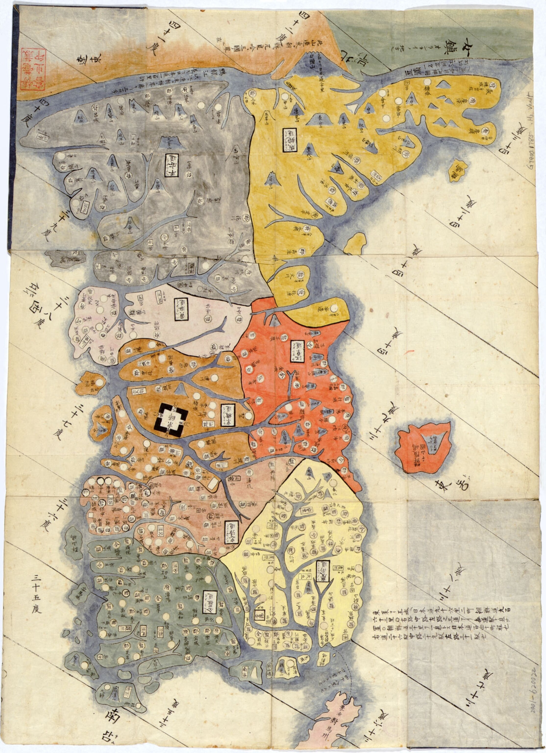
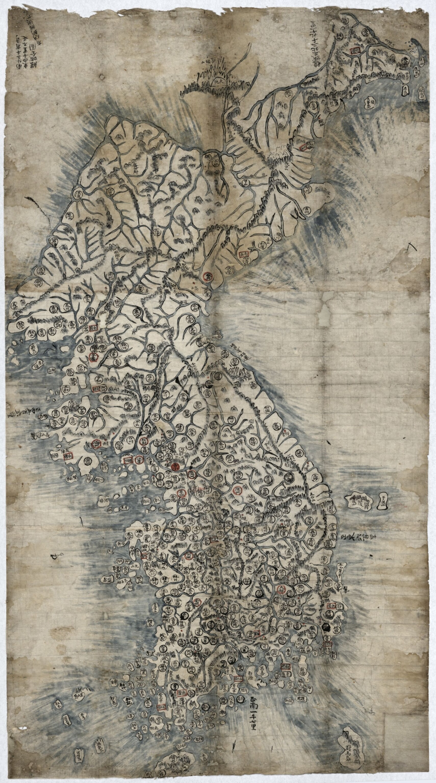
Korea has a long and interesting cartographic history. One of the earliest-known East Asian maps of the world was made in Korea in 1402. The map, known as the Kangnido, was lost at some point, but there are three surviving copies that were made (albeit with some revisions) in the 15th and 16th centuries, including the one below, from around 1560. Korea is hugely exaggerated on the far right of the map, dwarfing Japan to the southwest and almost equal in size to the entire continent of Africa on the far left. In subsequent centuries, Asian cartographers portrayed the peninsula in a variety of shapes and sizes, but often depicted it as larger than reality.
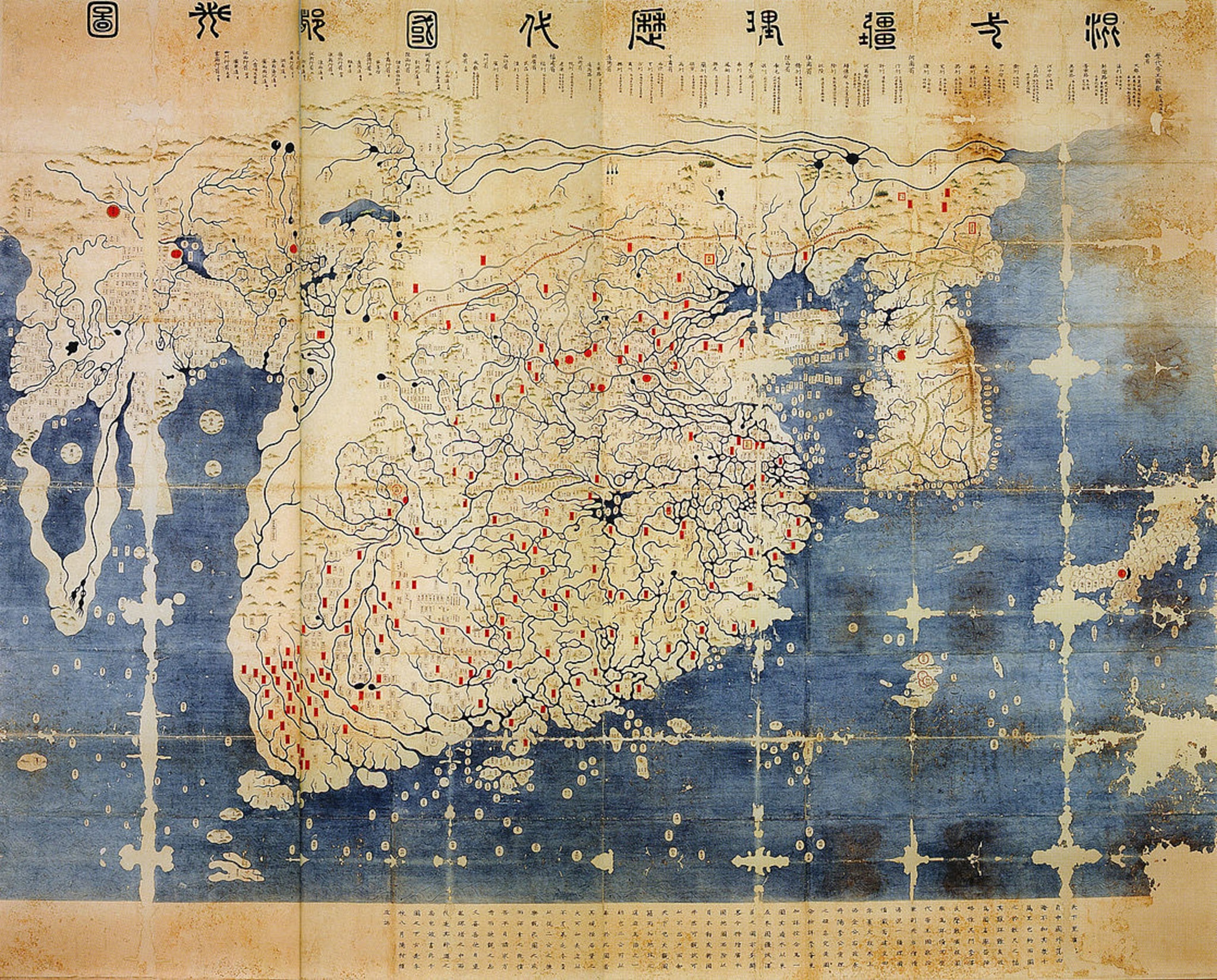
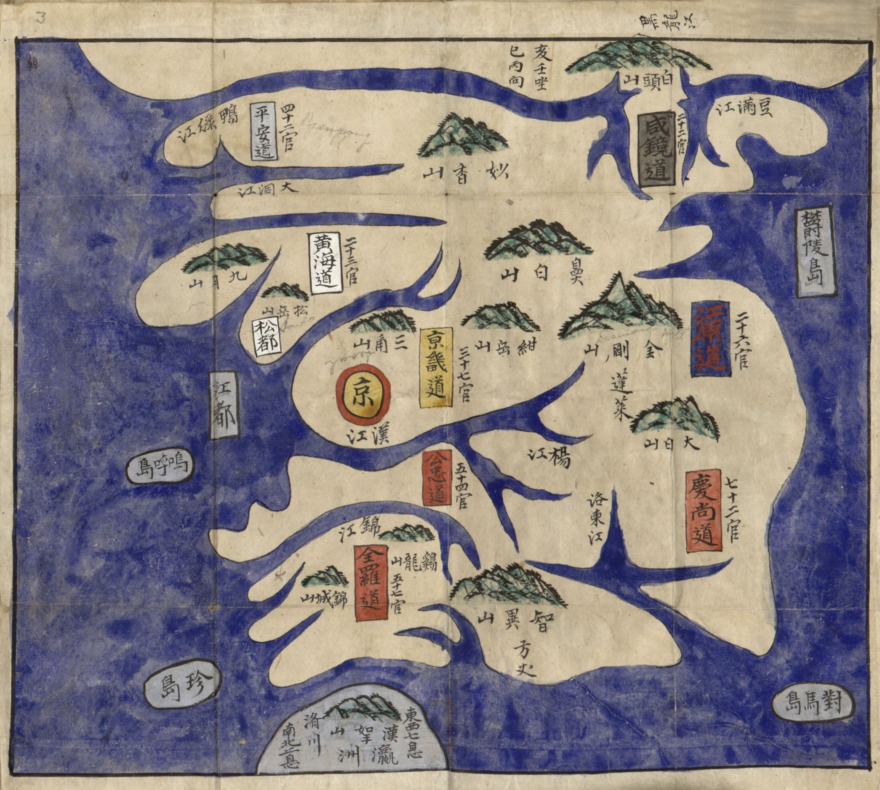
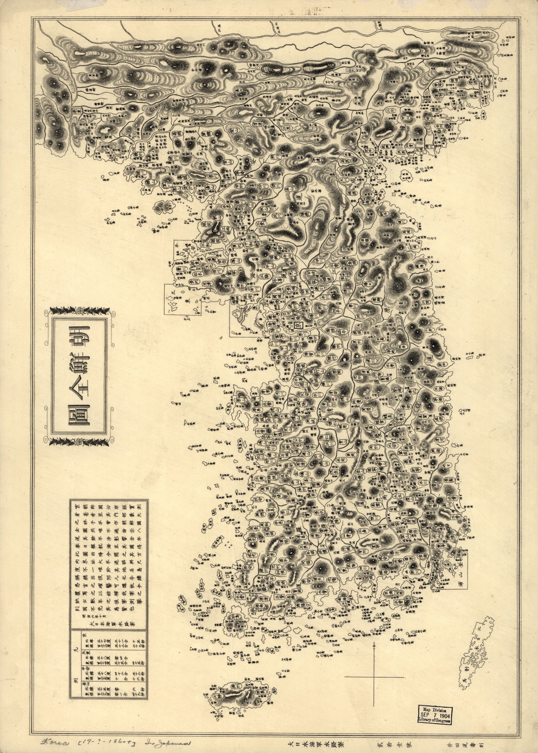
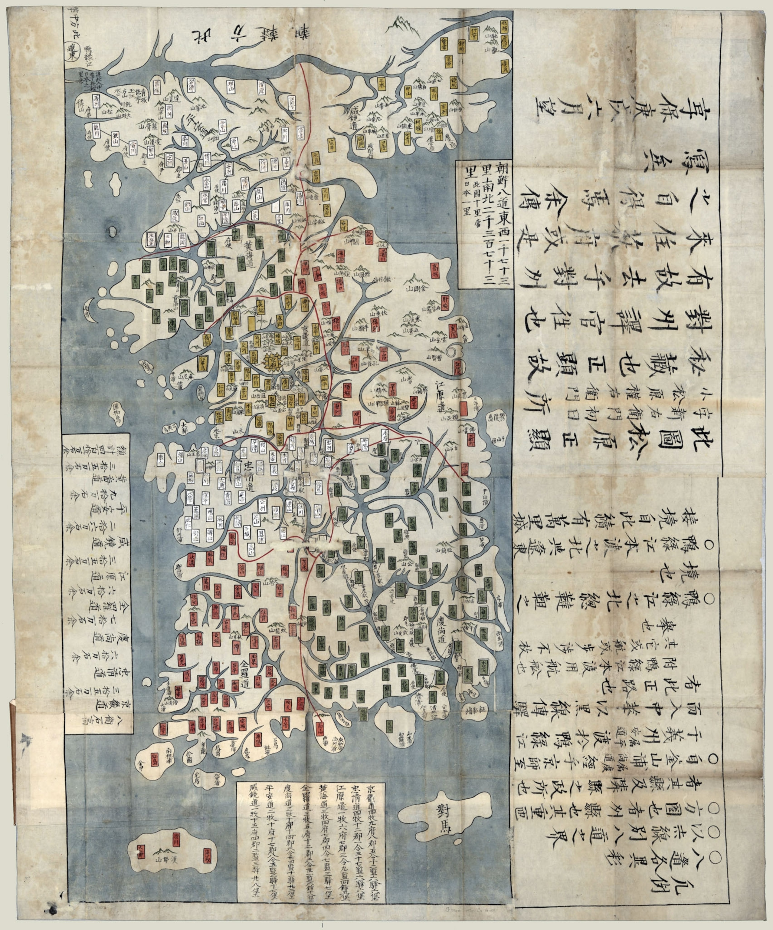
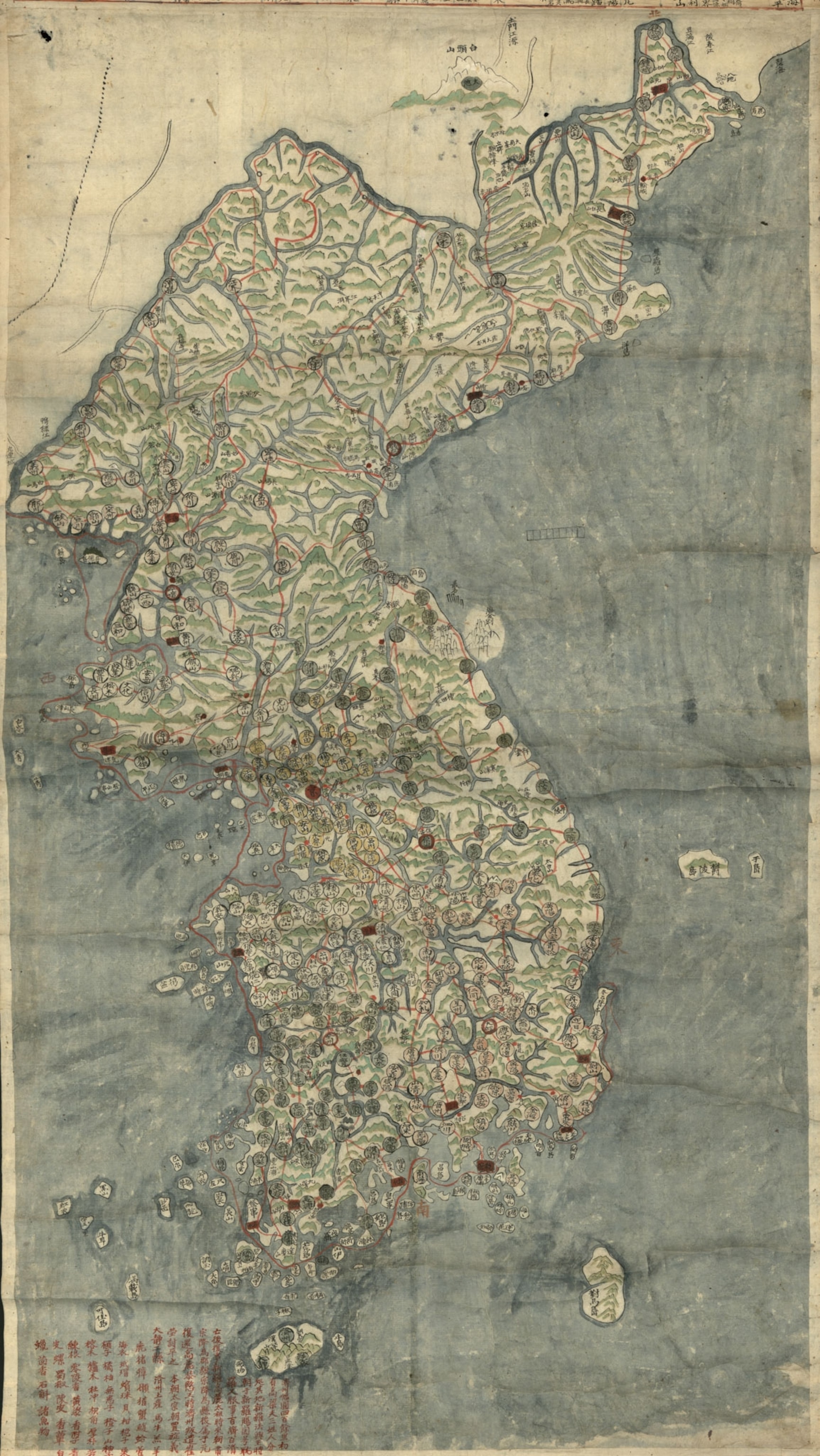
We’ve pulled together a selection of historical maps of the Korean peninsula from the Library of Congress. These maps offer a look at how Koreans and their neighbors envisioned Korea’s place in the world over the centuries.
Follow All Over the Map on Twitter and Instagram.
