Scientists "See" Ocean Floor via Sonar
Cameras and sonar technology are helping experts create a new map of the little-known seafloor near the U.S. Virgin Islands. Video.
Scientists use cameras and sonar near the U.S. Virgin Islands to 'see' the sea floor and find out how fish and other sea life use the underwater habitats, which include coral reefs and sea grasses.
© 2011 National Geographic; field producing and videography by Fritz Faerber
RELATED LINKS
VIDEO: "Psychedelic" Fish Hops on Seafloor
National Geographic's Oceans Hub
UNEDITED TRANSCRIPT
For the most part, we don’t know what lies beneath the surface of our oceans.
Most of the waters and ocean floor remain unexplored.
But with new technology, projects are underway to find out what lies in the deep.
Since 2004, a team of scientists has been cruising the Caribbean surrounding Puerto Rico, as well as St. Thomas and St. John islands in the U.S. Virgin Islands to create a comprehensive map of the seabed.
NOAA – The National Oceanic And Atmospheric Administration – is the U.S. agency in charge of mapping, protecting and managing some of these waters. They’re updating old nautical charts.
SOUNDBITE: Tim Battista, NOAA Oceanographer and Mission Chief Scientist: “So a nautical chart has soundings on it, just discrete locations, but our map is continuous. We can see the ups and downs, the ridges, the ledges of the sea bottom. And all of that is important information for a manager as well as to make the linkages between the seafloor habitat and the types of organisms that are using that.”
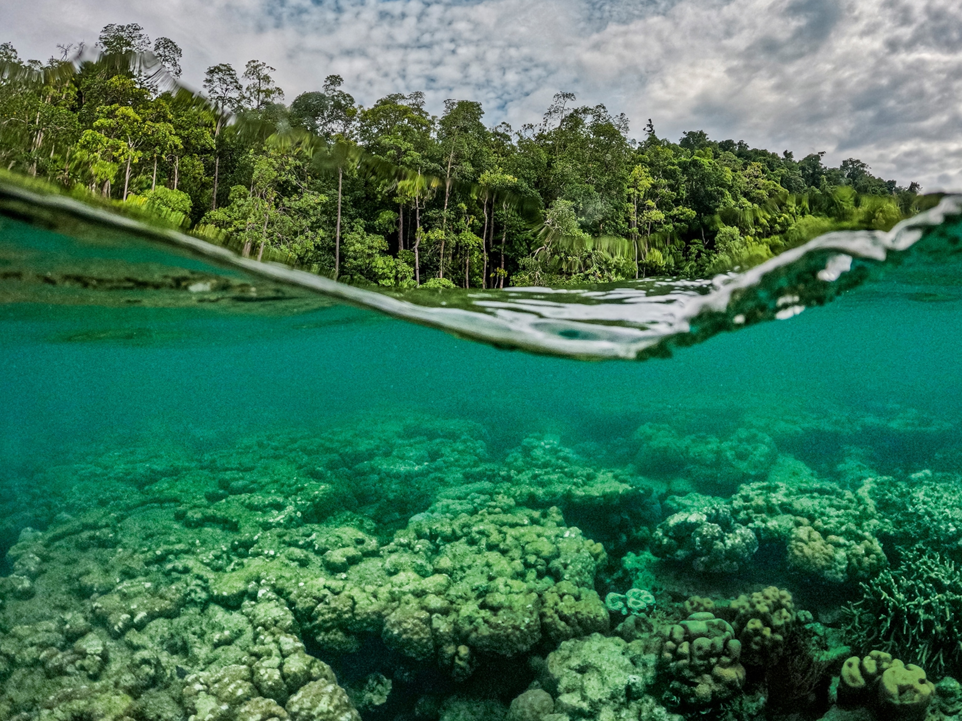
The waters off the coasts of St. Thomas and St. John have important habitat, including coral reefs. The waters have protected areas as well as areas where commercial fishing is allowed.
Each year, the NOAA ship ‘Nancy Foster’ zigzags through the water, using sonar to scan the seabed. The ship emits more than 3,500 pings per second in a wide fan, creating an image as if painting strips of data across the sea floor.
Weeks of back and forth sailing – in a pattern much like mowing a lawn – yields traditional chart information, including bathymetry, or depth, in incredible detail.
But the sonar data reveals a lot more than depth. Based on the intensity of the echo, scientists can tell if the bottom is hard, sandy, soft, covered in coral, seagrass or other soft plants.
By combining the sonar data with direct observations, NOAA creates detailed maps of the seafloor habitat.
The ROV is a key to understanding the sonar data. Operated by scientists on the ship, it sends back video and still images. Then, the sonar data can be combined with the visual data.
The researchers are looking for several answers to questions.
SOUNDBITE: Tim Battista, NOAA Oceanographer and Mission Chief Scientist: “Why are fish going to a certain location? Are there behaviors that are going on? Are there certain types of fish that are going there. So that’s a very focused kind of science application. And then there’s other science that we conduct, which is applied toward a management community.”
The ship is equipped with what is basically a scientific-grade fish finder.
SOUNDBITE: Chris Taylor, NOAA Research Ecologist: “The technology that I’m using is very similar to commercial fish finders, or the fish finders that your grandpa might have on his fishing boat on a lake. Except these are scientific grade echo sounders.”
“We transmit a pulse of sound or a ping. That ping is transmitted through the water column and it reflects off anything that’s in the water column that is of different density than the surrounding media. That could be the bottom, which is very hard, it could be air bubbles that’s created by wakes, waves or boats. Or, it could be gas bladders or swim bladders in the case of fish.”
Each night as the ship sails back and forth off land, Taylor’s sonar ‘spots’ the fish and adds important information to the maps.
SOUNDBITE: Chris Taylor, NOAA Research Ecologist: “Habitats are very important, clearly, but we need to better understand how fish are using those habitats, so we can understand how to better manage those habitats for the fish.”
After the sonar runs all night, attention turns to the ROV.
Bryan Costa uses sonar to pick locations for the ROV to explore.
SOUNDBITE: Bryan Costa, Geospatial Scientist: “Sonar imagery is just one of the tools in our toolbox to create a habitat map. We can get a picture of what’s down there, in the image, but we really don’t necessarily know what is growing on top of that reef structure, or what it’s made out of, so that’s where the camera comes in.”
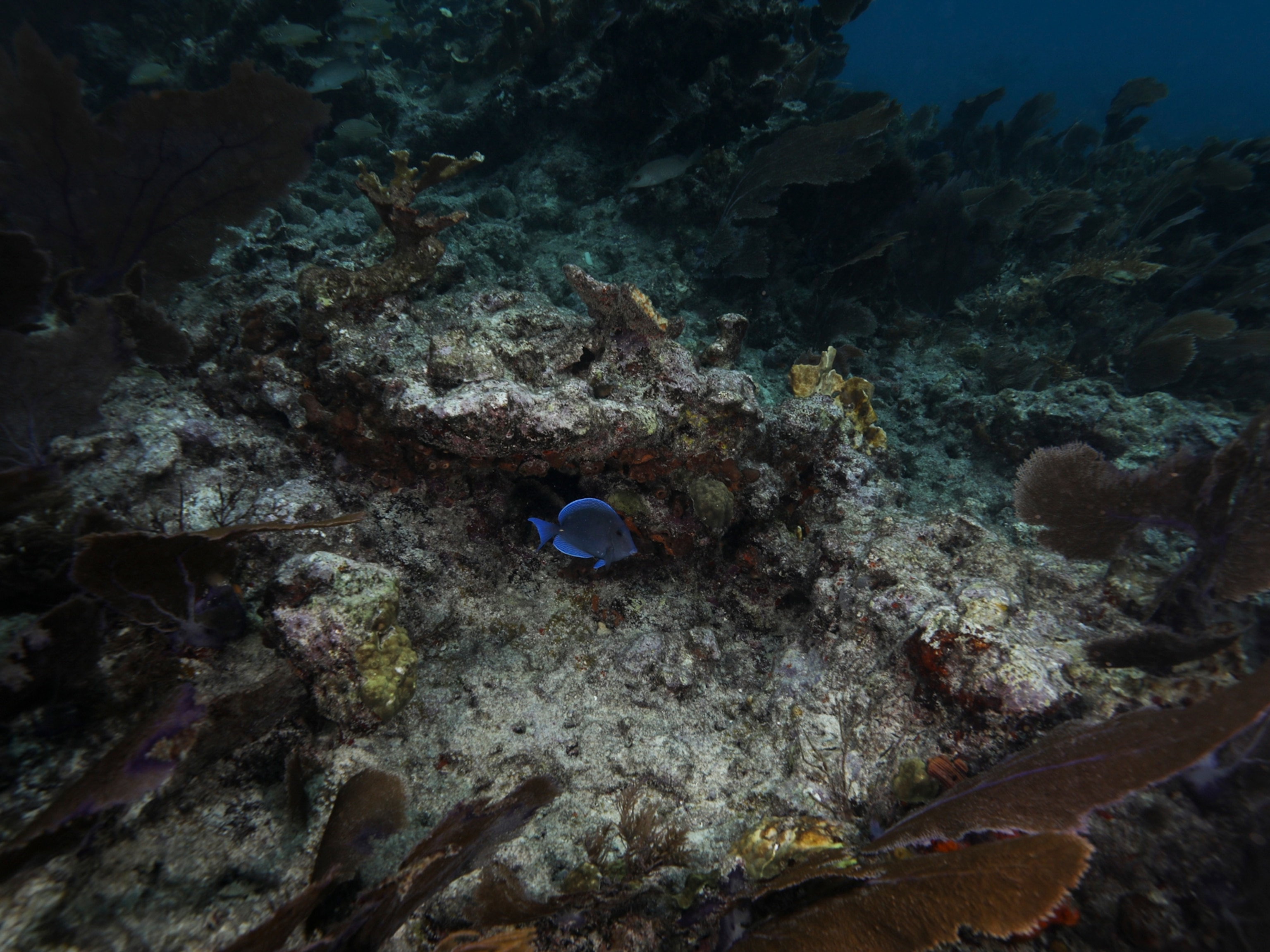
As researchers pilot the ROV deep under the sea, scientists note the health of the coral, types of fish – including the invasive lionfish – and inspect manmade debris, including lost fishing gear, and even newly found shipwrecks.
All of this data will help scientists better understand the reefs here… and offer insights into ocean changes elsewhere.
SOUNDBITE: Tim Battista, NOAA Oceanographer and Mission Chief Scientist: “One of the most important things about the work we’re doing is that we are characterizing coral reefs that have never been observed before. So, we’re visiting new areas and getting that baseline of the health and the condition and extent of the coral reefs.”
The NOAA scientists hope eventually to develop their techniques further so scientists can some day have maps of all the world’s seabeds.
