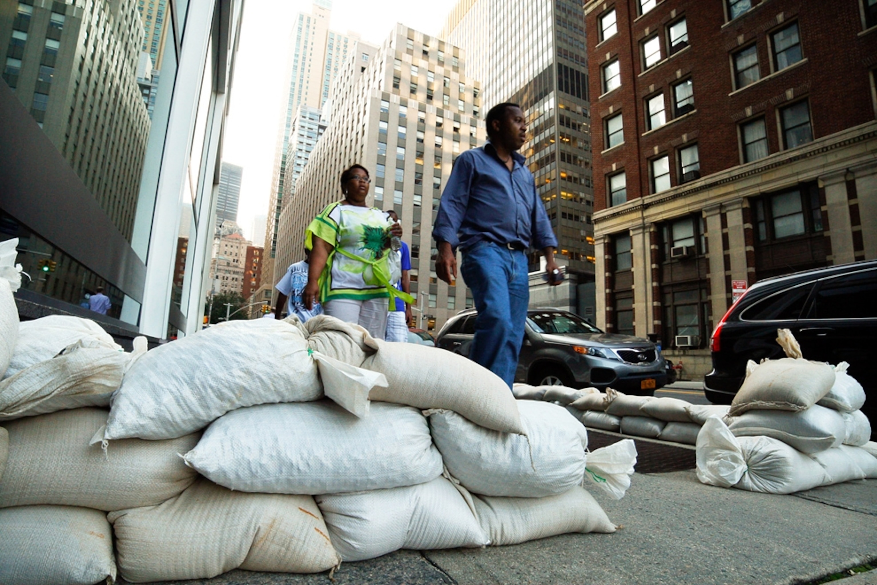
Hurricane Irene Hits North Carolina; New York Braces for Storm
Weakened Irene still dangerous as it moves up East Coast, experts warn.
Hurricane Irene brought winds of 85 miles (137 kilometers) an hour and flooding when it made landfall near Cape Lookout, North Carolina, around 7:30 a.m. ET today as a Category 1 hurricane.
But the storm could have been even stronger—dry air pulled into Irene's circulation late Friday afternoon slightly weakened the tempest.
Hurricanes are sustained by warm, moist air, and the infusion of dry air at about 10,000 feet (3,050 meters) slowed Irene's momentum and caused its eye wall—where the storm's strongest winds are found—to deteriorate, said meteorologist Keith Blackwell.
Had the dry air not been pulled into the storm, Hurricane Irene could have had winds well in excess of 110 miles (177 kilometers) an hour at landfall, said Blackwell, of the University of South Alabama's Coastal Weather Research Center.
Still, the storm spun off tornadoes and dumped torrential rains on coastal North Carolina. (Watch hurricane videos.)
Brian Roth, mayor of the coastal town of Plymouth, said the region started losing power soon after Hurricane Irene came ashore, and damage to some houses there has been reported. (See "Hurricane Irene to Cause One of Largest Power Outages?")
"The wind is howling," said Bill Benjamin, general manager of WPNC radio in Plymouth. "It's nothing for anyone to be out in."
(Get our tips on hurricane preparedness.)
Hurricane Irene to Batter Jersey Shore?
Hurricane Irene is expected to continue its destructive trek up the East Coast over the next two days, and experts say the large, slow-moving storm could still be at hurricane strength when it makes landfall again near New York City.
Already New York City officials have ordered more than 300,000 residents to evacuate low-lying areas that are expected to see the worst of the flooding. The city's public transportation system was also ordered to be shut down Saturday.
(Also see "Hurricane Irene 'Looking Bad' for U.S.—Moon May Make It Worse.")
Jeff Masters, a meteorologist at the Weather Underground website, said the New Jersey shore could be especially hard hit. Waves as high as 15 to 20 feet (4.5 to 6 meters) could batter the Jersey coast, causing serious damage in a region that's not used to hurricanes.
"They just don't get these kinds of events there," Masters said. "I anticipate a lot of damage along the New Jersey coastline."
Parts of Long Island, New York, could see storm surges of up to 8 feet (2.4 meters) when Irene reaches there Sunday morning, Masters said.
Early damage estimates predict that Hurricane Irene could cost as much as U.S. $12 billion by the time it crosses over New England early Monday morning.
Share your Hurricane Irene video with the National Geographic Channel >>