Why Irene Was More Dangerous Than It Should Have Been
Storm dodged bullet, grew bigger, lasted longer, meteorologists say.
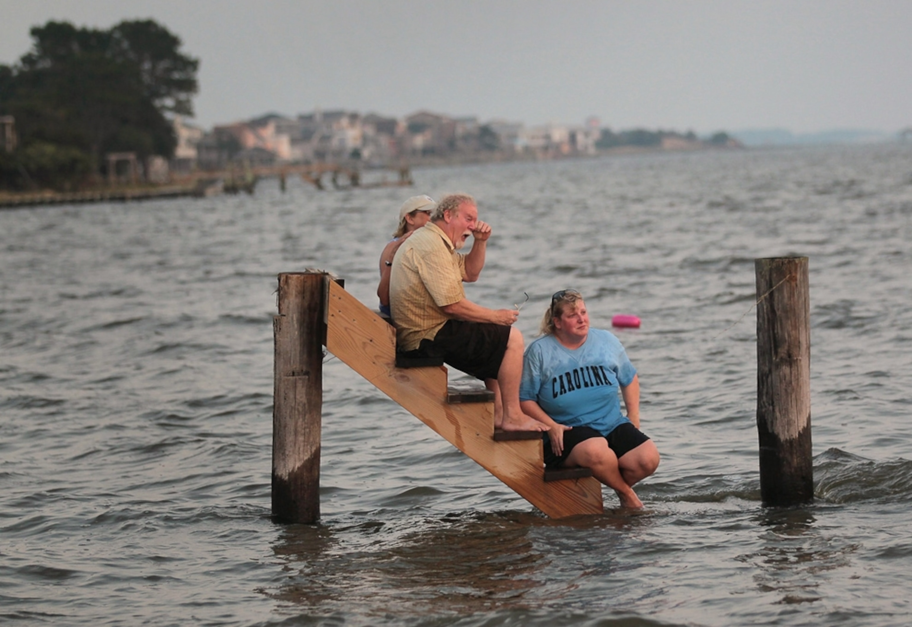
So far Hurricane Irene's estimated damage isn't as bad as had been feared, but the storm was actually much more destructive than it had any right to be, experts say. (See Hurricane Irene pictures.)
Despite diminishing wind speeds, Irene accumulated a rare combination of meteorological lucky breaks that allowed the storm to swell surprisingly wide and last longer than expected, resulting in an unexpectedly vast and long trail of destruction.
As Hurricane Irene passed over the Bahamas late last week, it encountered low atmospheric, or barometric, pressure, which causes air to rise—in this case, warm and moist air, the lifeblood of hurricanes.
Over the islands, Irene's peak winds reached 115 miles (185 kilometers), making it a Category 3 hurricane.
Forecasters last week had feared Irene would maintain those very high winds when it hit the U.S. mainland at North Carolina over the weekend.
But as the storm approached the state, Irene encountered a mass of dry, hurricane-squelching air coming off the coast. Irene soon slowed to Category 1 speeds, making landfall with winds of about 85 miles (137 kilometrs) an hour.
But the dry air also diffused Irene so that, though its winds had slowed, it affected a much wider area.
"It affected a lot more people than would have been the case if it had been a smaller storm," said Keith Blackwell of the University of South Alabama's Coastal Weather Research Center.
(Get our tips on hurricane preparedness.)
At the same time, the storm was dodging a bullet.
The jet stream—a fluctuating, narrow current of powerful upper-level winds—could easily have weakened or destroyed Irene by scattering her swirling winds, as often happens when the stream meets a storm.
Instead, "the jet stream kept sufficient distance from the storm so that it did not shear it but was close enough so that the northward flow of the jet stream—which was the same direction of the path of the storm—greatly aided the hurricane to maintain its unusually low pressure for a Category 1 storm," Blackwell said.
"Sometimes the jet stream destroys a hurricane, sometimes it enhances it," said Blackwell, noting meteorologists are still decoding how the structure of a hurricane can fluctuate.
(Watch hurricane videos.)
Irene Out of Luck?
Hurricanes usually weaken significantly as they pass over land, because their momentum is disrupted and their barometric pressure rises, decreasing the turbulent winds.
By continuing to attract warm, moist air, Irene's strangely low pressure kept the hurricane's engine running, allowing the storm to continue up the East Coast, despite the storm being relatively diffused and slowed.
By the time the storm reached New York City Sunday morning, its winds had dropped to about 65 mph, just below hurricane status.
But Irene's barometric pressure was at 965 millibars, a surprisingly low reading for a non-hurricane. For example when Hurricane Wilma, then a Category 3, struck the Florida Keys in October 2005, the storm's barometric pressure reading was roughly equivalent, at 950 millibars.
On Monday morning Irene was still going, if not so strong, according to Richard Pasch, senior hurricane specialist at the U.S. National Hurricane Center in Miami.
Apparently out of lucky breaks, the former hurricane swept over eastern Canada with winds of about 45 miles (72 kilometers) an hour, Pasch said.
More on Hurricane Irene 2011