White House Launches Climate Tools and Data for Developing World
High-resolution mapping and training target climate resilience.
NEW YORK—The White House is releasing new data and technological tools to help developing countries better prepare for climate change, Obama administration officials announced Wednesday.
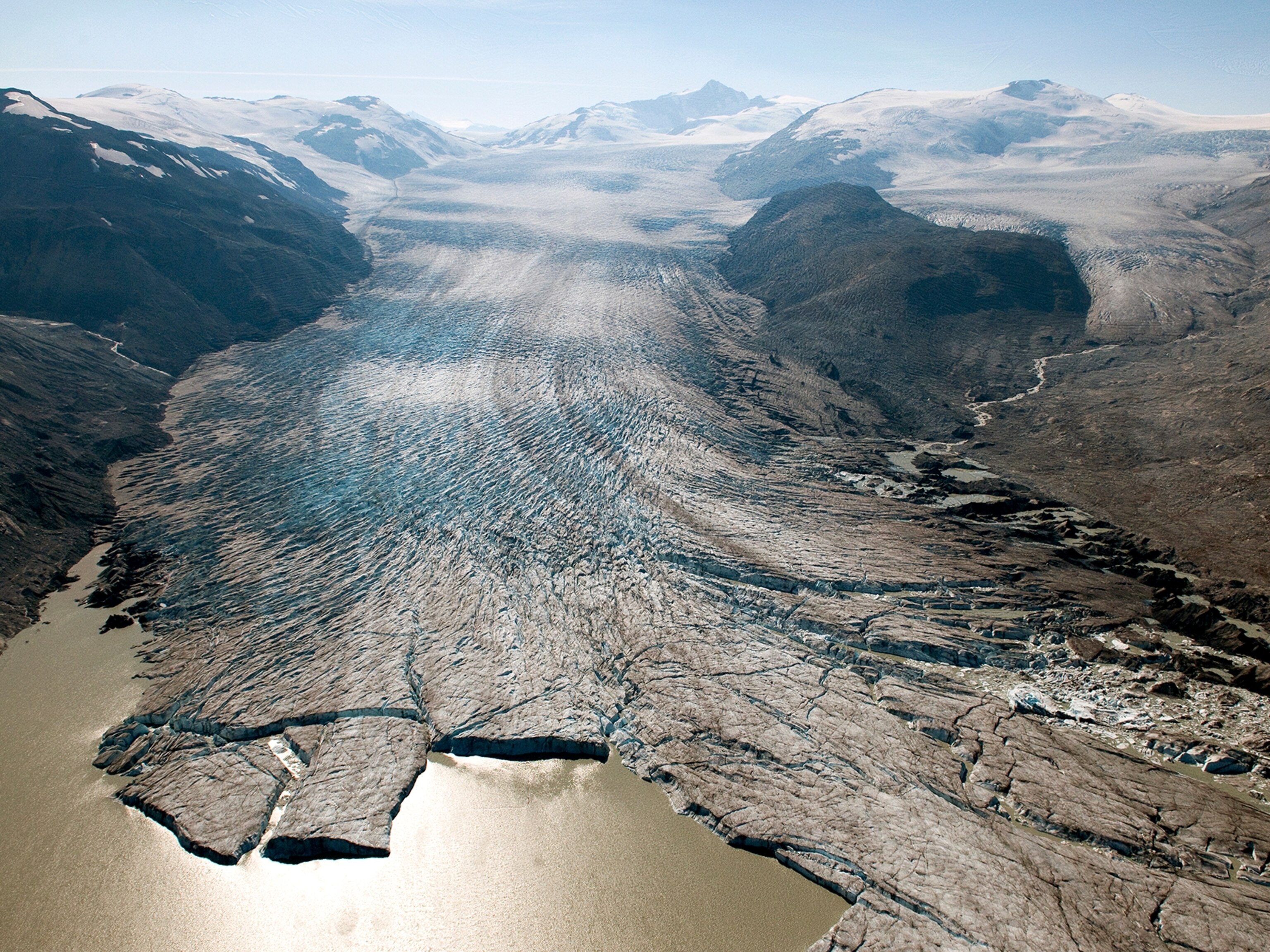
The information is critical for predicting water availability for farmers and forecasting severe flooding, the White House said. The data can also be used to better track the shrinking of glaciers, soil moisture levels, nutrient flow, vegetation cover, and erosion. (See "New Technology Measures Snowpack Amid California Drought.")
"Development goals stand to be reversed if we don't help build resilience to climate change," John Podesta, an adviser to U.S. President Barack Obama on climate change, said in making the announcement. He said that lessons learned about climate change in the U.S. over the past few years should be shared with the world.
The move follows President Obama's address at the UN Climate Summit in New York City Tuesday, in which he said, "We are committed to helping build climate-resilient infrastructure." That includes domestic programs and working with developing countries, the president said, since "nations that have contributed the least to climate change stand to lose the most."
Industrialized nations such as the United States and China have been the biggest contributors to the carbon emissions that fuel climate change, while many of the nations most at risk from rising sea waters and other impacts of climate change, such as Bangladesh, have very few carbon emissions.
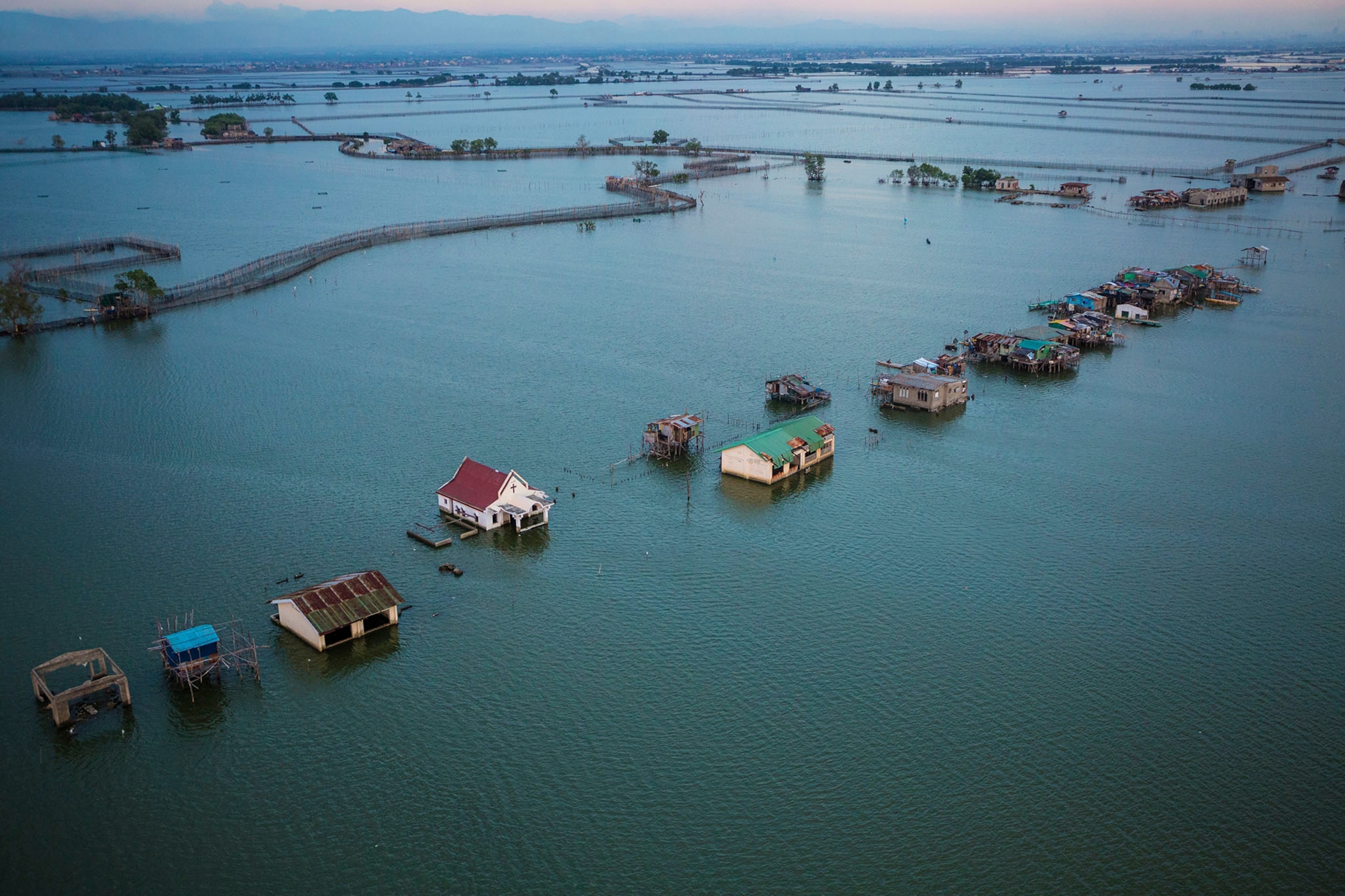
Many people in developing countries live on low-lying land near bodies of water, on steep slopes, or simply lack the resources to build levees, dams, or even escape routes.
Underscoring those threats, Vice Premier Zhang Gaoli of China told the UN Tuesday that developed countries must "provide technology transfer and financial support to developing countries" in dealing with climate change.
High-Res Data
To help nations better prepare for climate change, White House officials said Wednesday that the administration has released high-resolution topographical data for Africa free online, so countries can better track coming changes like sea-level rise and water shortages. The new data provide a resolution down to 30 meters of the Earth's surface, NASA chief scientist Ellen Stofan said in a Wednesday briefing for reporters.
Previously, the best data available to the public for many areas was at a resolution of 90 meters, meaning much less detail of the Earth's surface could be presented. The new data come from radar measurements collected by the space shuttle.
Federal agencies will release data for additional regions of the world over the next year.
"National, regional, and local decision-makers need high-resolution elevation data so they can understand how climate change will affect them," Stofan said.
Kathryn Sullivan, undersecretary of commerce for oceans and atmosphere and administrator of NOAA, says such information is useful in helping predict agricultural productivity.
"The models will better help India predict its wheat harvest, so it will be prepared if monsoons don't pan out and it needs to buy food in advance to feed its people," she said.
Sullivan adds that better mapping of how sea-level rise will affect the land will allow people to decide what structures need to be moved to higher ground and when people need to evacuate out of harm's way.
Global Training
U.S. agencies will also provide enhanced training of scientists in developing countries, the White House said. This will include a series of workshops, starting in Africa, as well as stepped-up training efforts through existing NOAA and USAID programs.
Suzette Kimball, acting director of the U.S. Geological Survey, says the new data and training resources go beyond what is already available for free online from sources like Google Earth. The new resources should "have a significant impact on the world's ability to monitor change," she says.
"Climate change is very, very serious," says Fred Sambula, the retiring director of the National Weather Service in the Cayman Islands, upon hearing the White House announcement.
"We are small islands, but we have the greatest to lose," Sambula adds. "We are having higher minimum and maximum temperatures, and we have areas that are going under the sea. This is true for the entire Caribbean."
Sambula adds that his country has only a handful of meteorologists, so he is grateful for the help. The new tools should help his colleagues better "predict climate change's potential impact on our society," he says.


