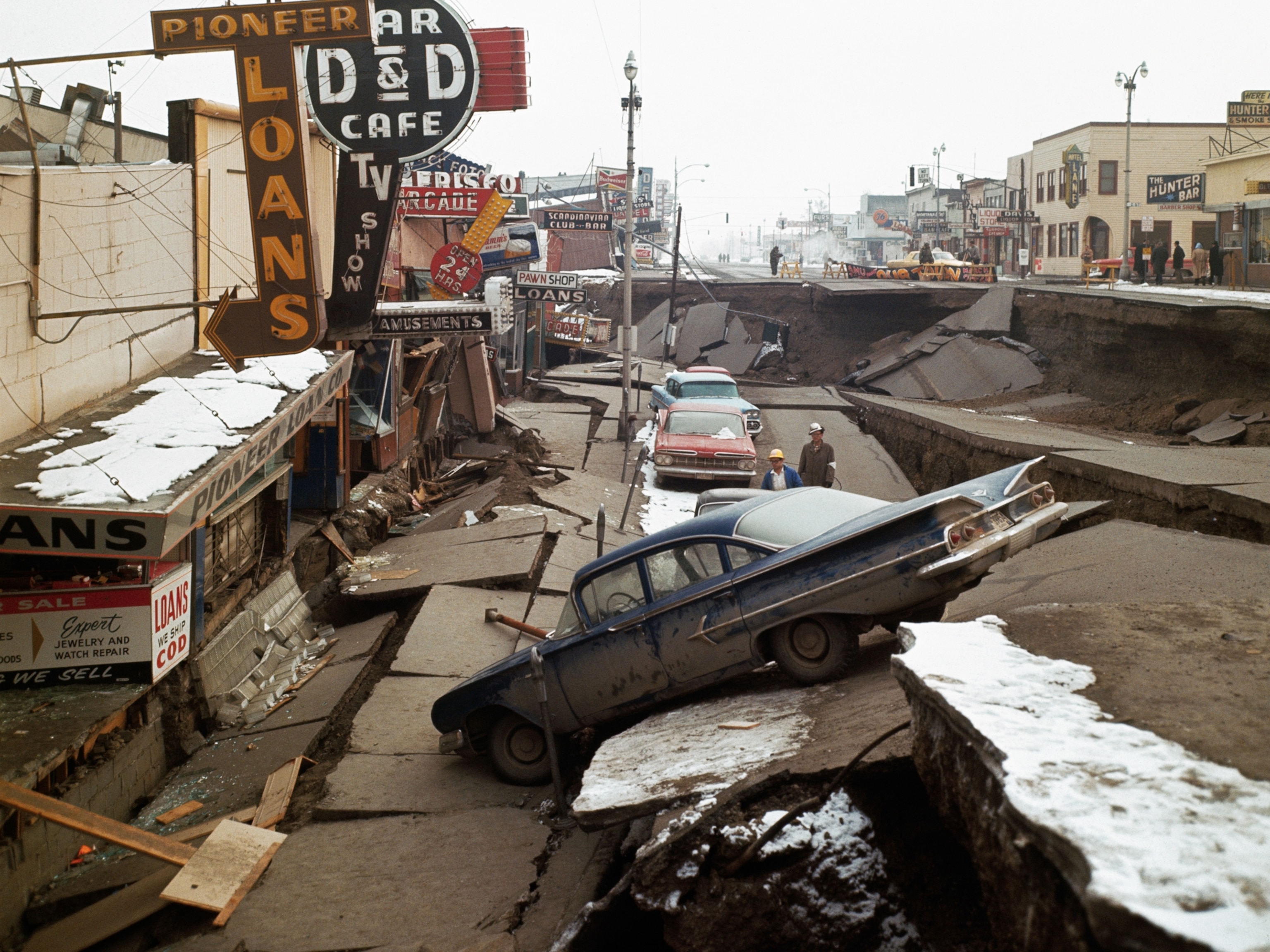
Pictures Reveal Iran and Iraq Earthquake, the Deadliest of 2017
The tremor has killed at least 402 people and has devastated local communities.
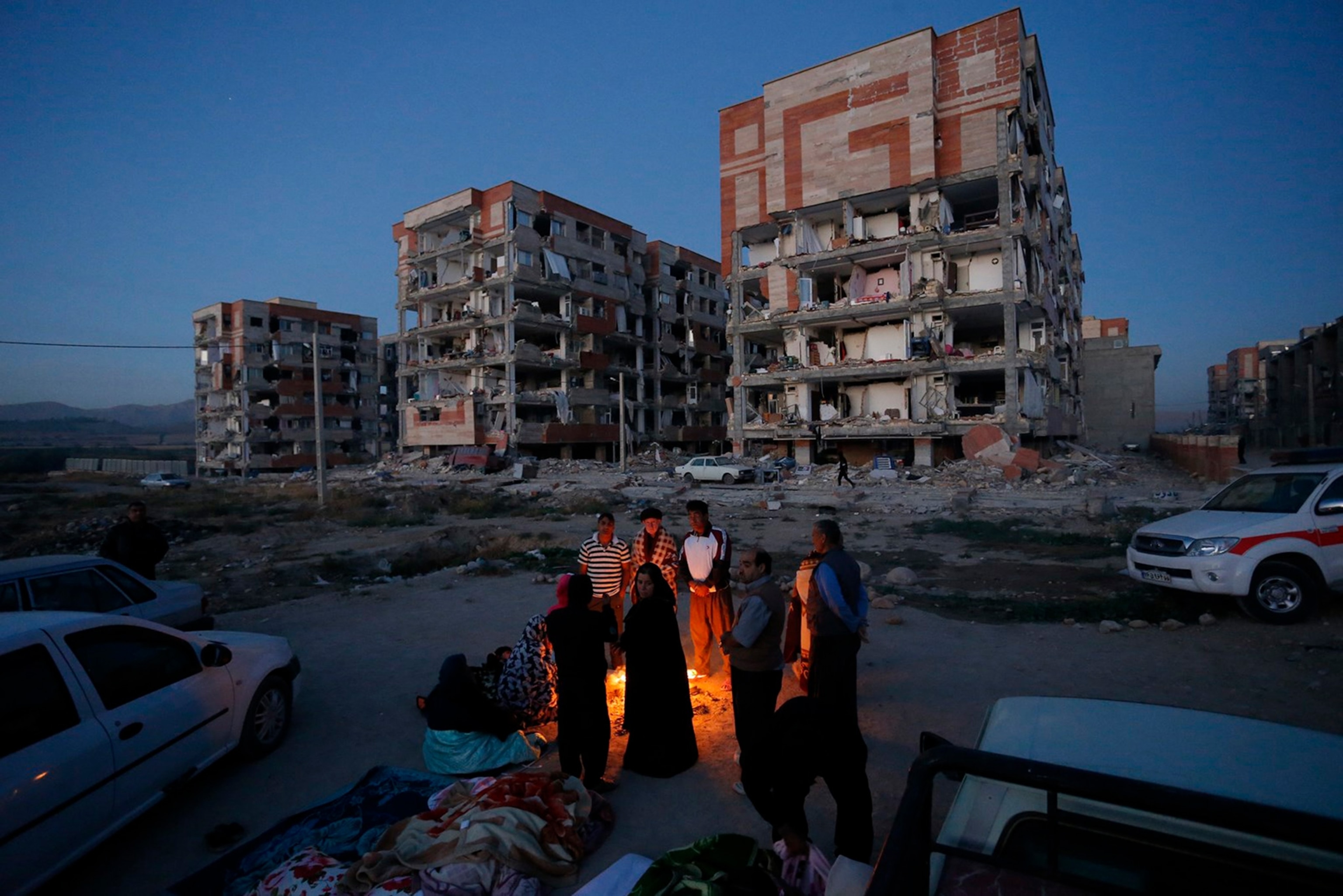
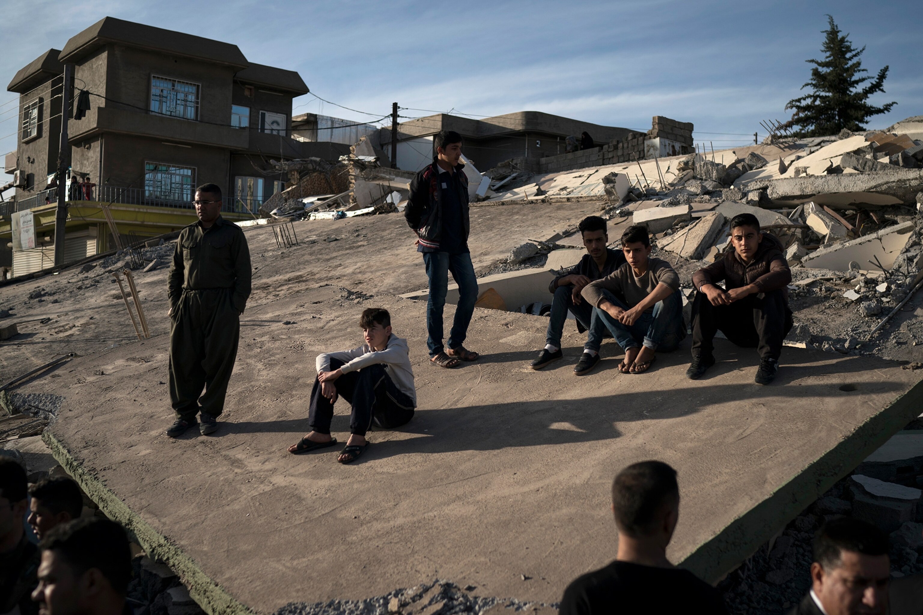
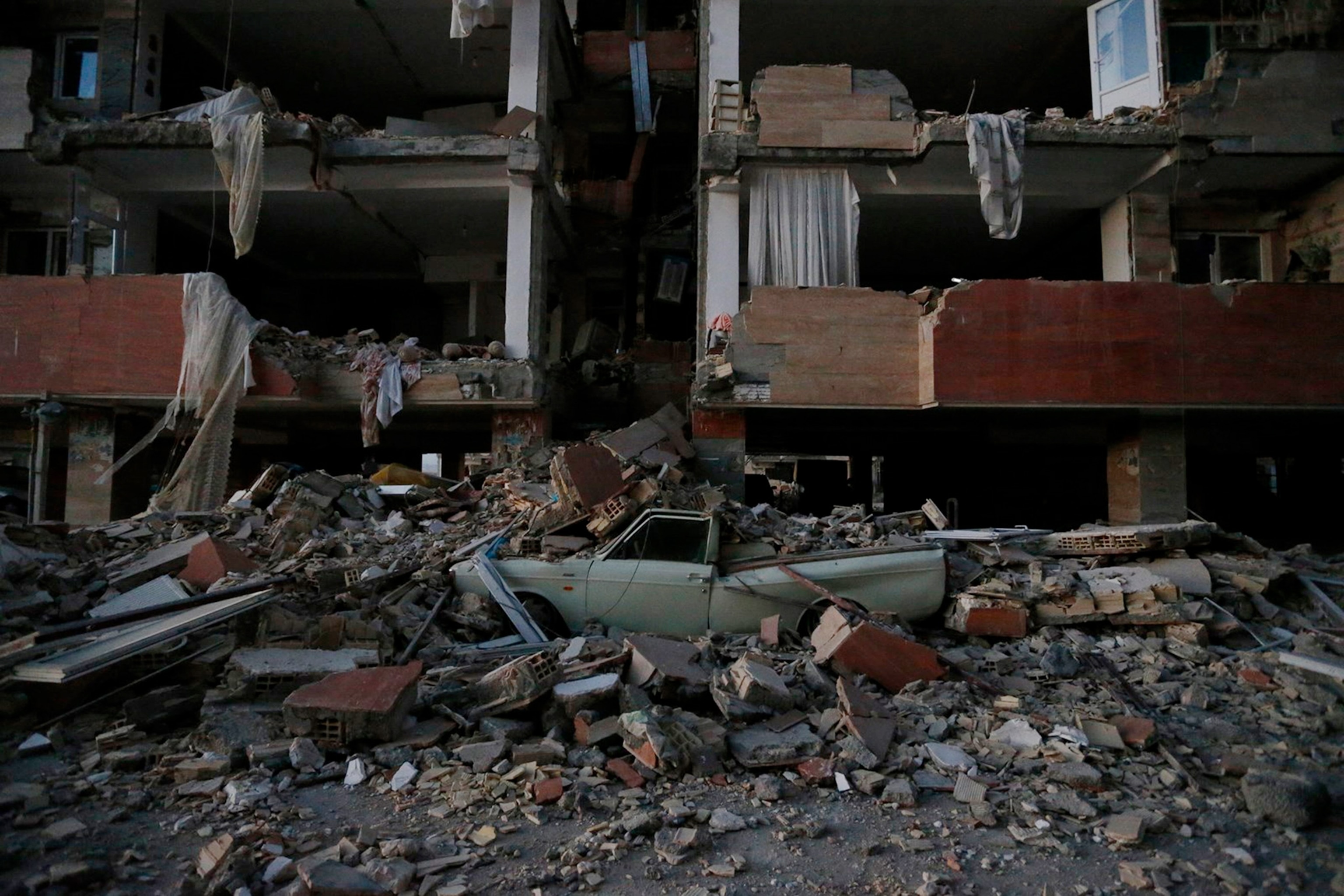
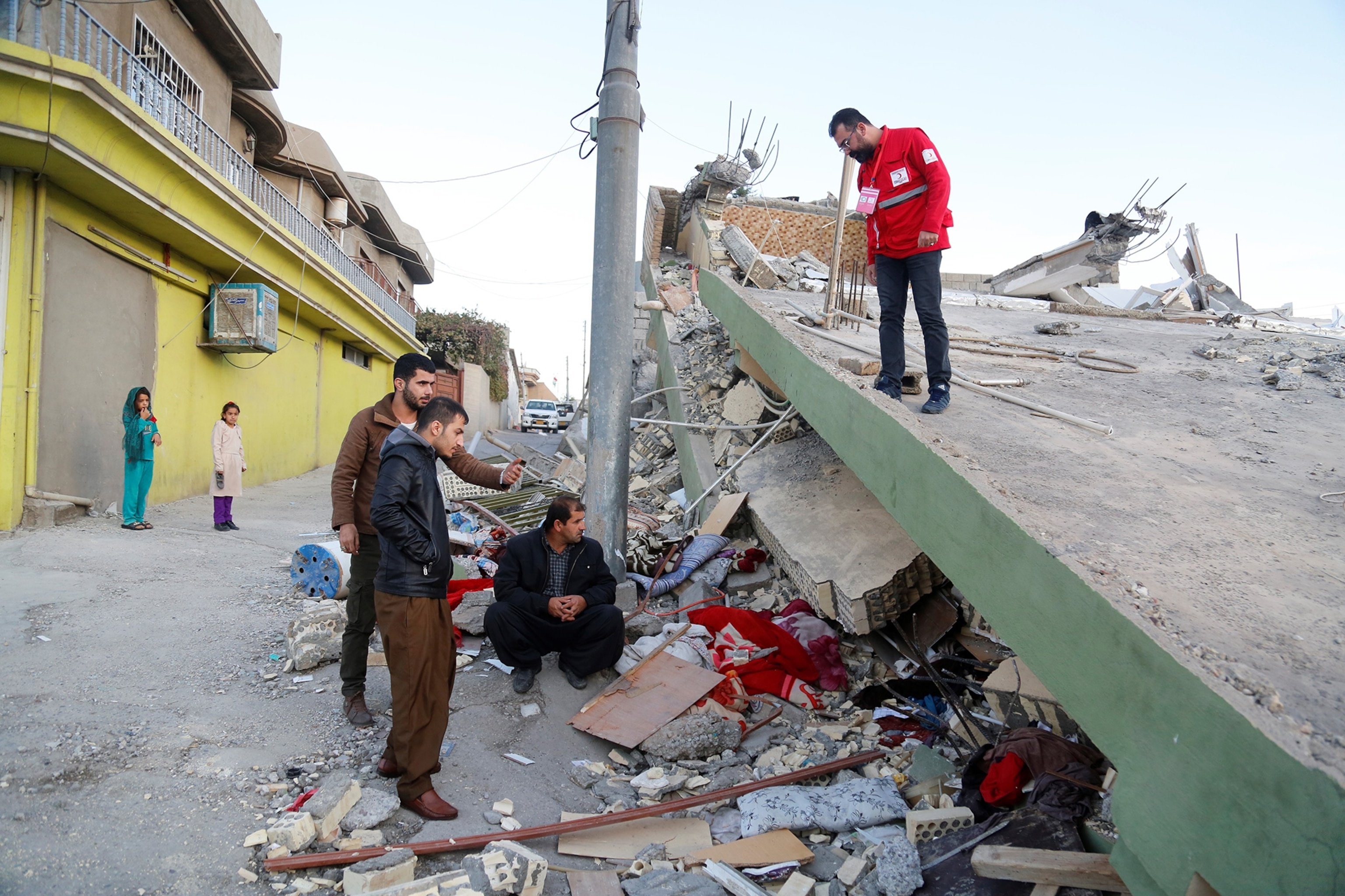
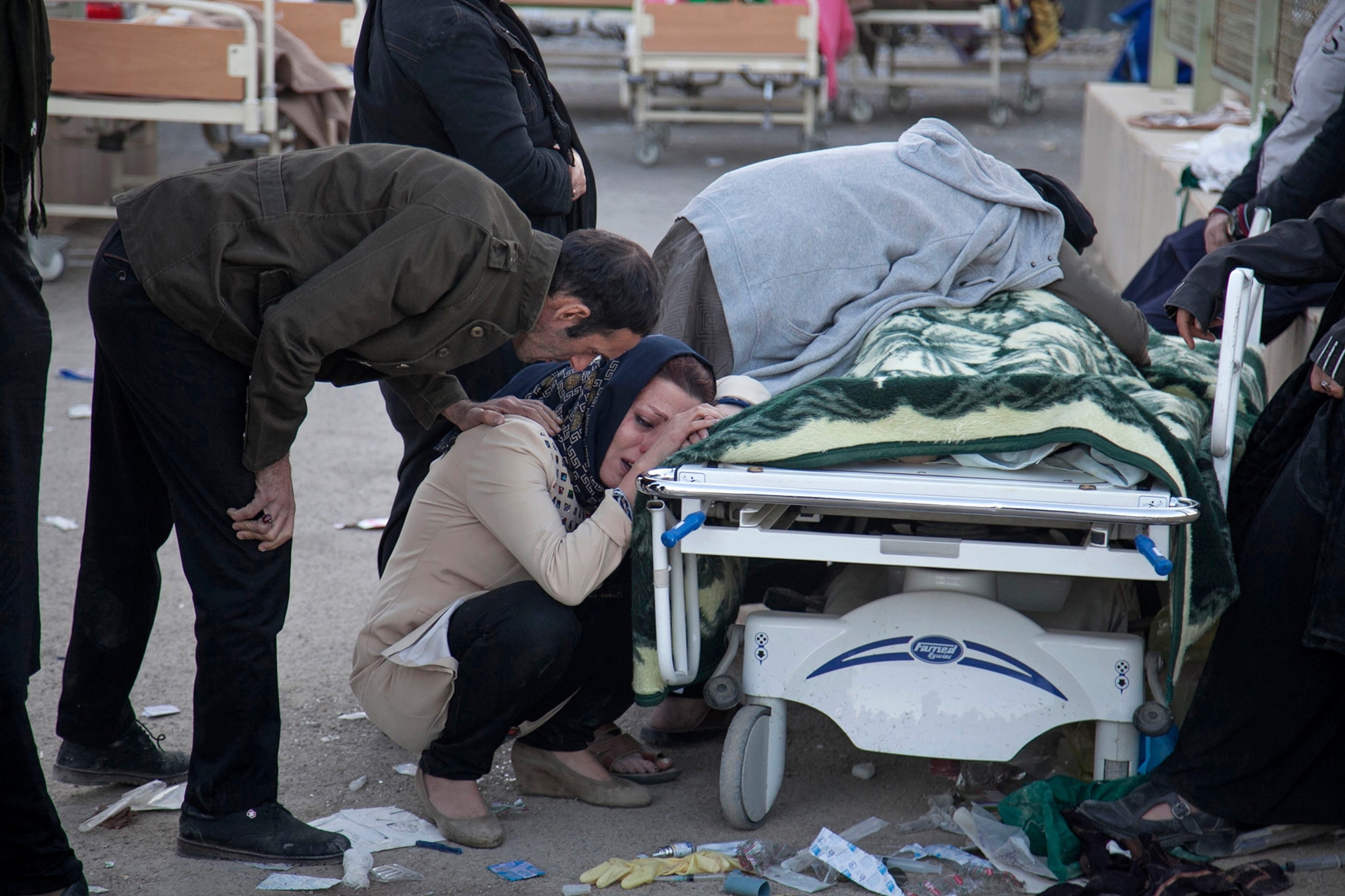
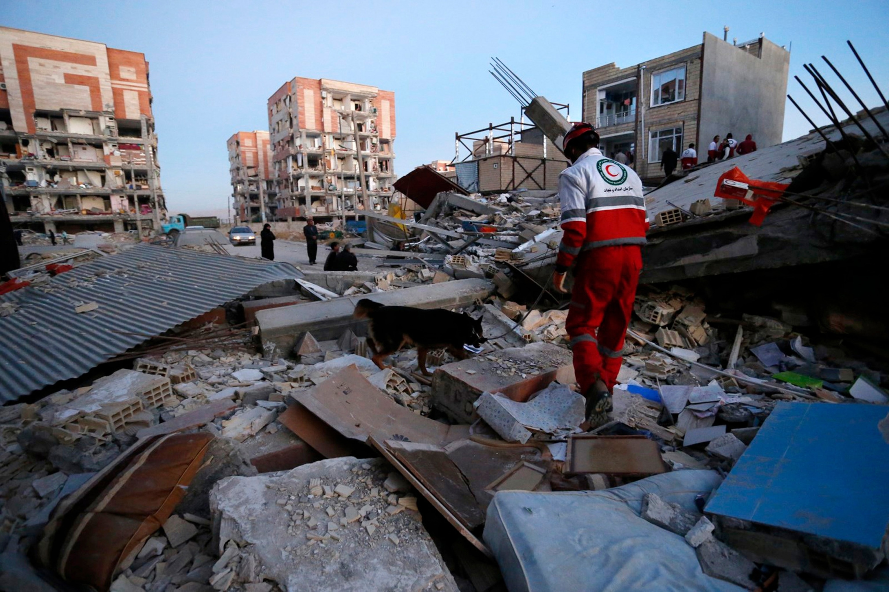
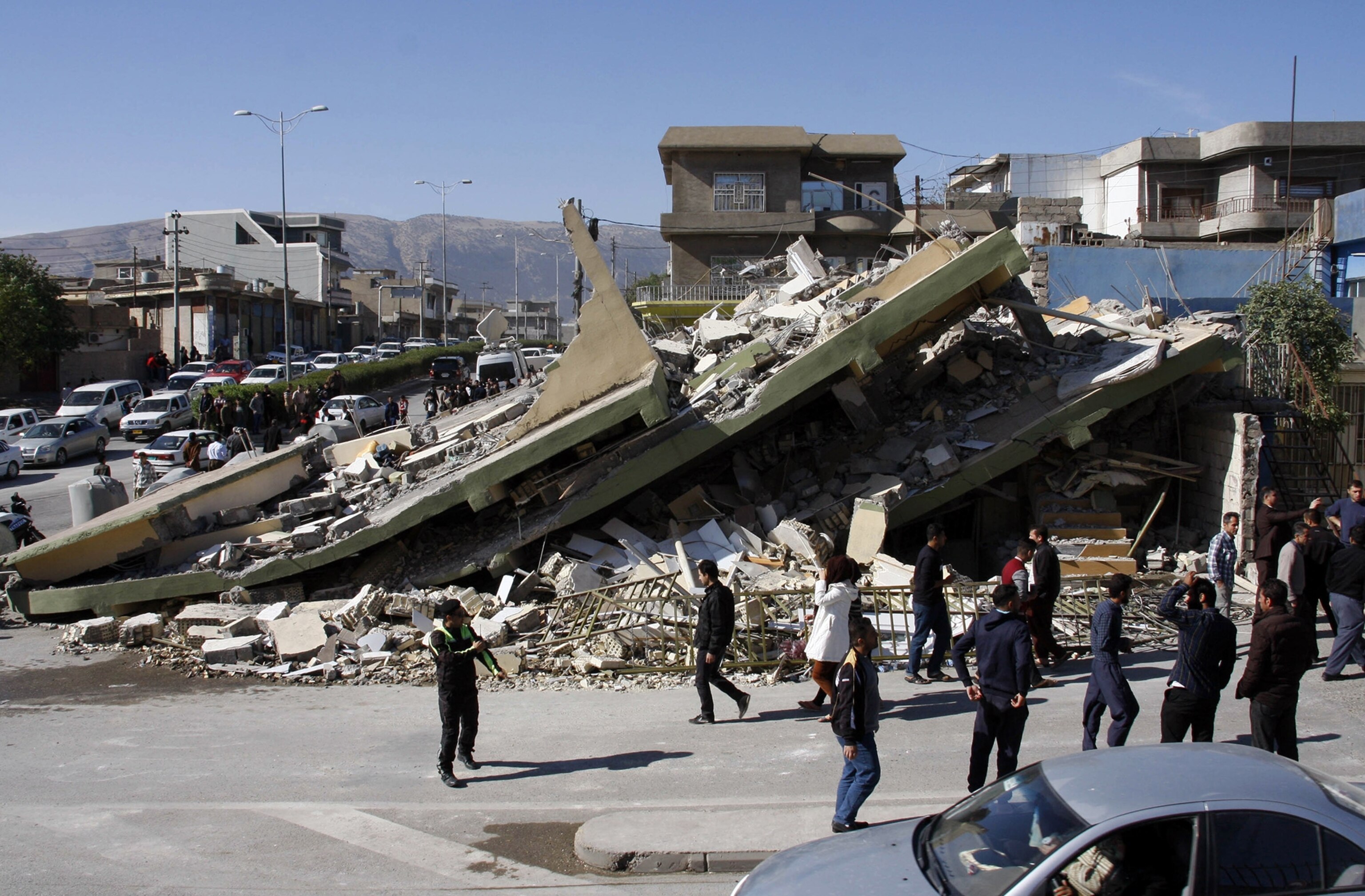
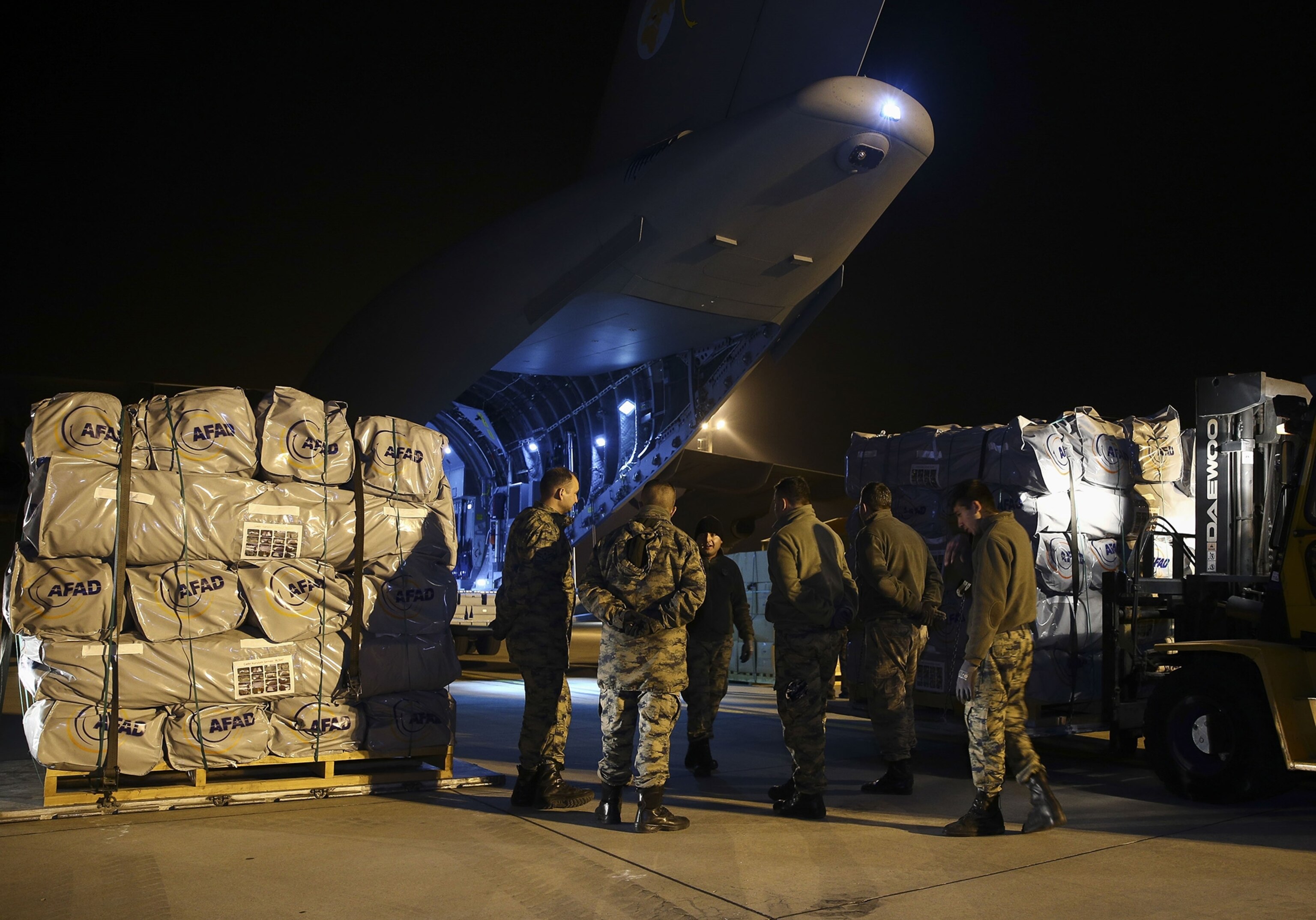
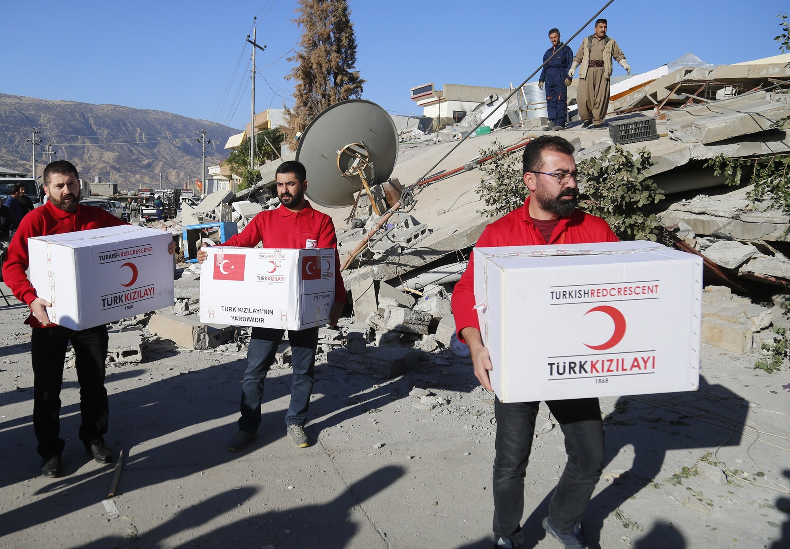
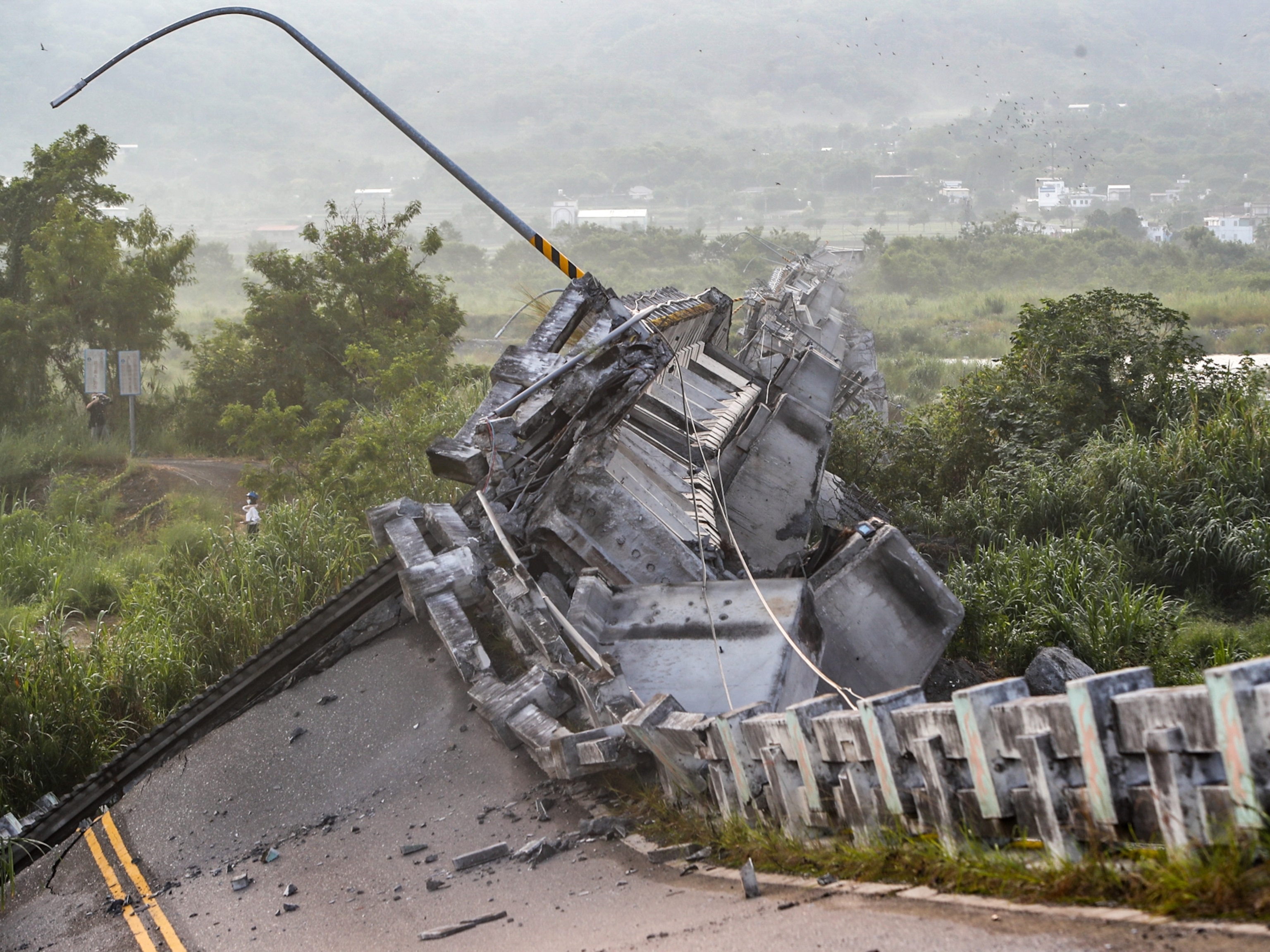
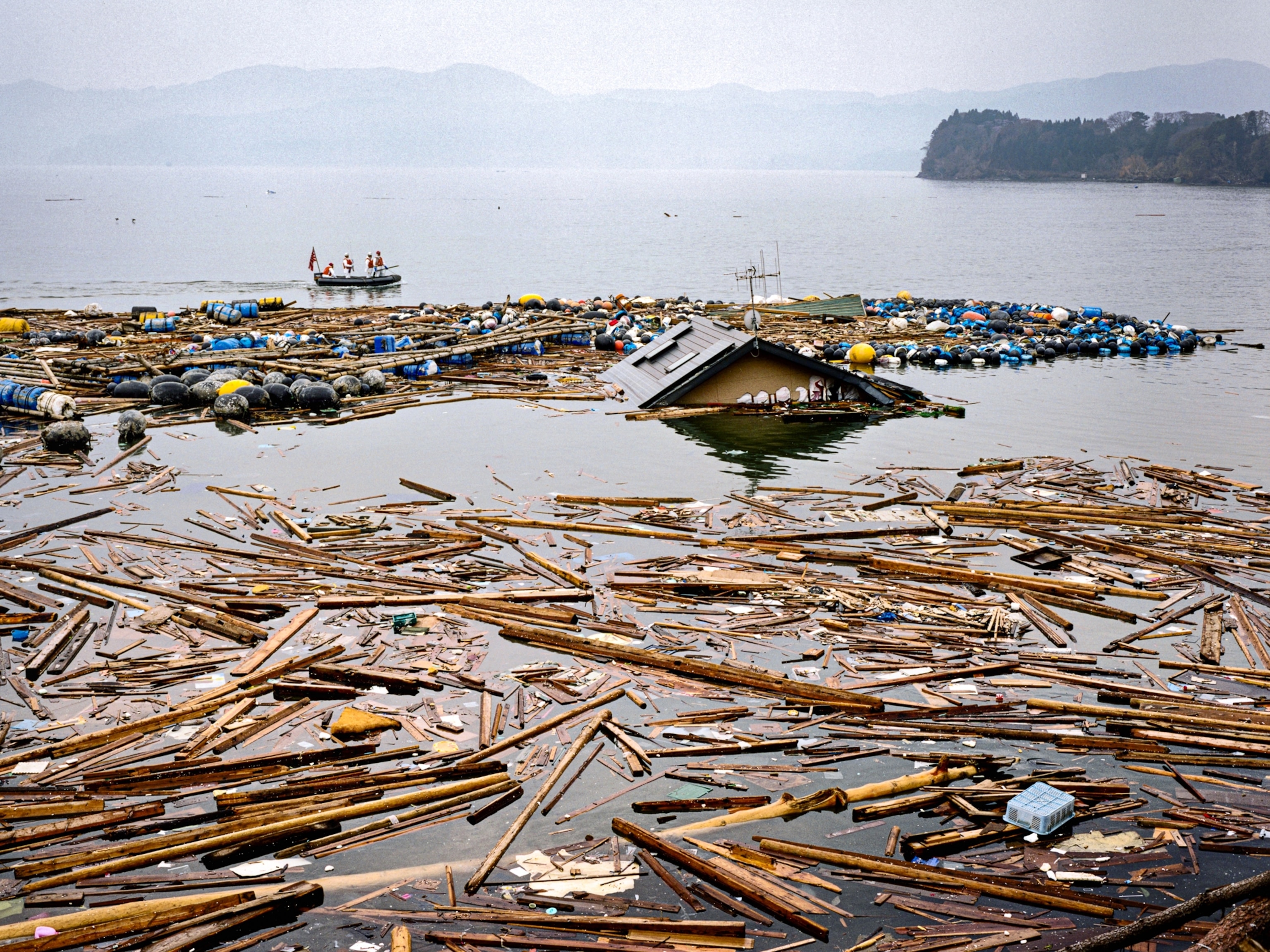
The deadliest earthquake of 2017 struck Iran and Iraq late Sunday evening, rocking the two countries and killing at least 402 people. Dramatic photos are emerging from the aftermath of the disaster, showing rescue and loss.
The magnitude 7.3 earthquake, which shook the earth more than 14 miles underground, spread from an epicenter in western Iran, some 20 miles south of the town of Ḩalabjah, Iraq.
According to CNN, Iranian state media report that at least 395 Iranians are confirmed dead and 6,650 injured. The New York Times reports that the majority of these deaths occurred in Sarpol-e Zahab, a city in the western Iranian province of Kermanshah.
In northern Iraq’s semi-autonomous Kurdish territory, at least seven people died, according to regional officials speaking with CNN. Iraq’s health ministry also says that at least 535 Iraqis were injured in the tremor.
Both countries continue to assess the damage, but the earthquake already has set a grim annual record. At a total of 402, the earthquake’s death toll surpassed the tremor that struck Mexico City in September, which claimed the lives of 369 people.
Based on the earthquake’s location near the Iran-Iraq border, it’s likely that it released strain created by the collision of two tectonic plates: the Arabia plate, which contains the Arabian Peninsula, Iraq, Syria, and Jordan, and the Eurasia plate, to which Iran belongs.
At a rate of less than an inch per year, the Arabia plate slides toward the northeast underneath the Eurasia plate, marking off a “subduction zone” that stretches underneath western Iran. The collision may sound slow, but it’s enough to forge the Zagros Mountains, a 930-mile-long mountain range that stretches across western Iran and northeastern Iraq.
This geologic hostile merger can also spark massive earthquakes, the U.S. Geological Survey notes. On November 27, 1945, a magnitude 8.0 earthquake along this seam sparked a tsunami within the Arabian Sea and the Gulf of Oman. The inundation killed more than 4,000 people.

