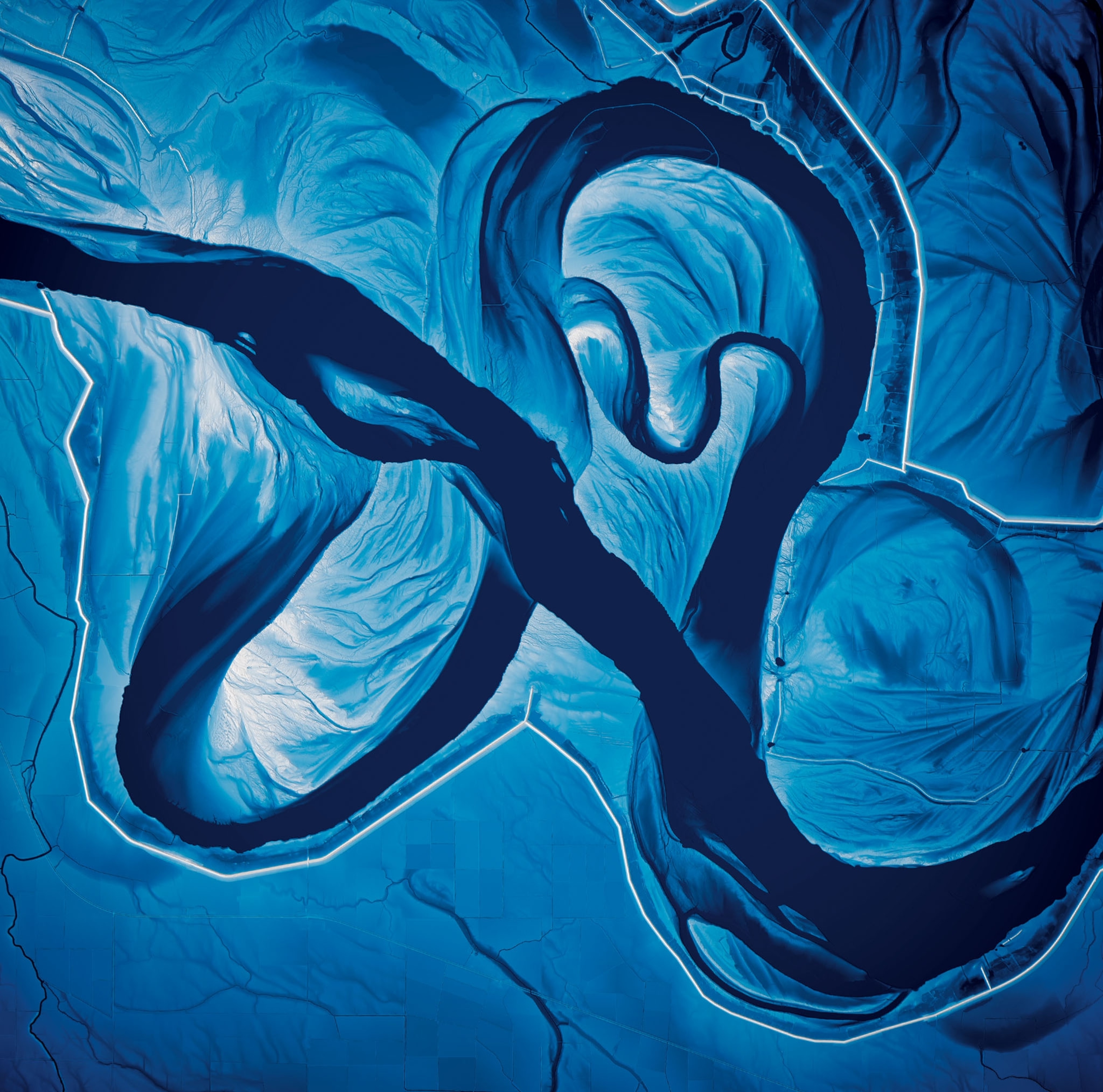
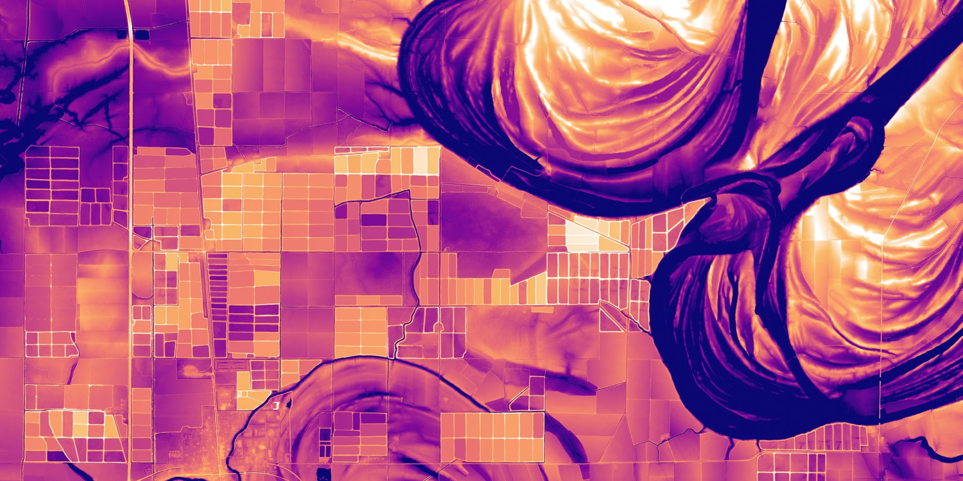
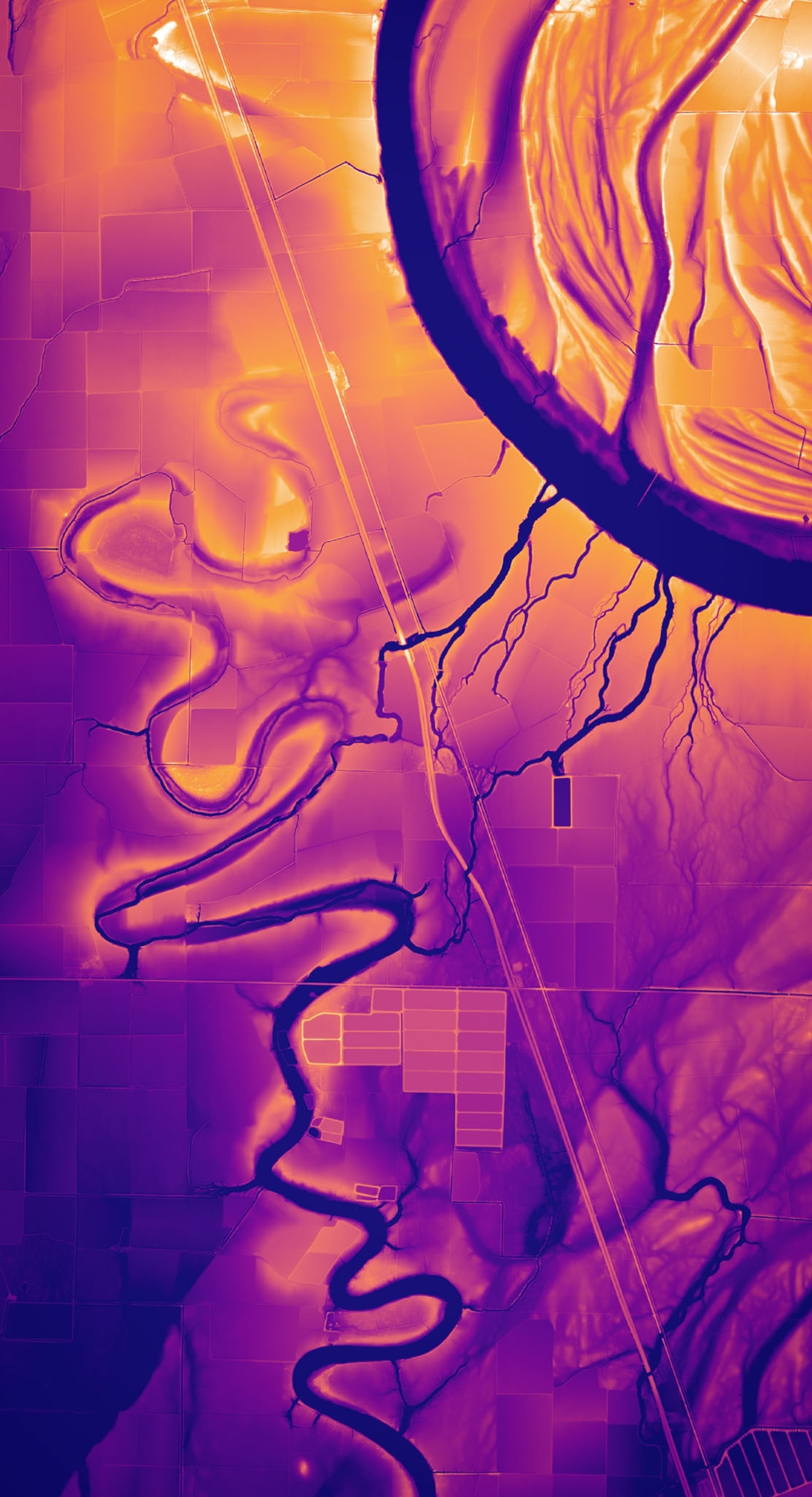
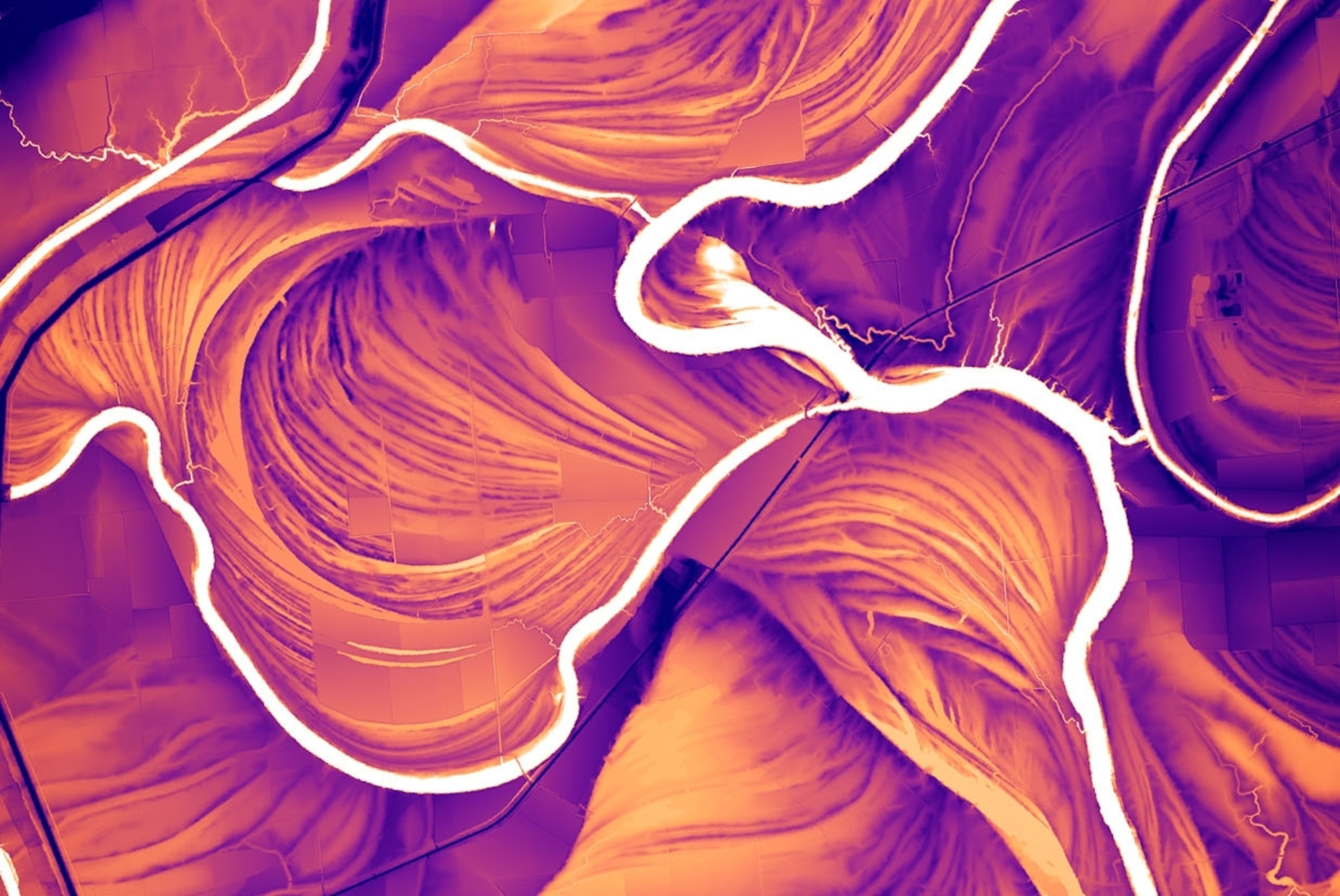
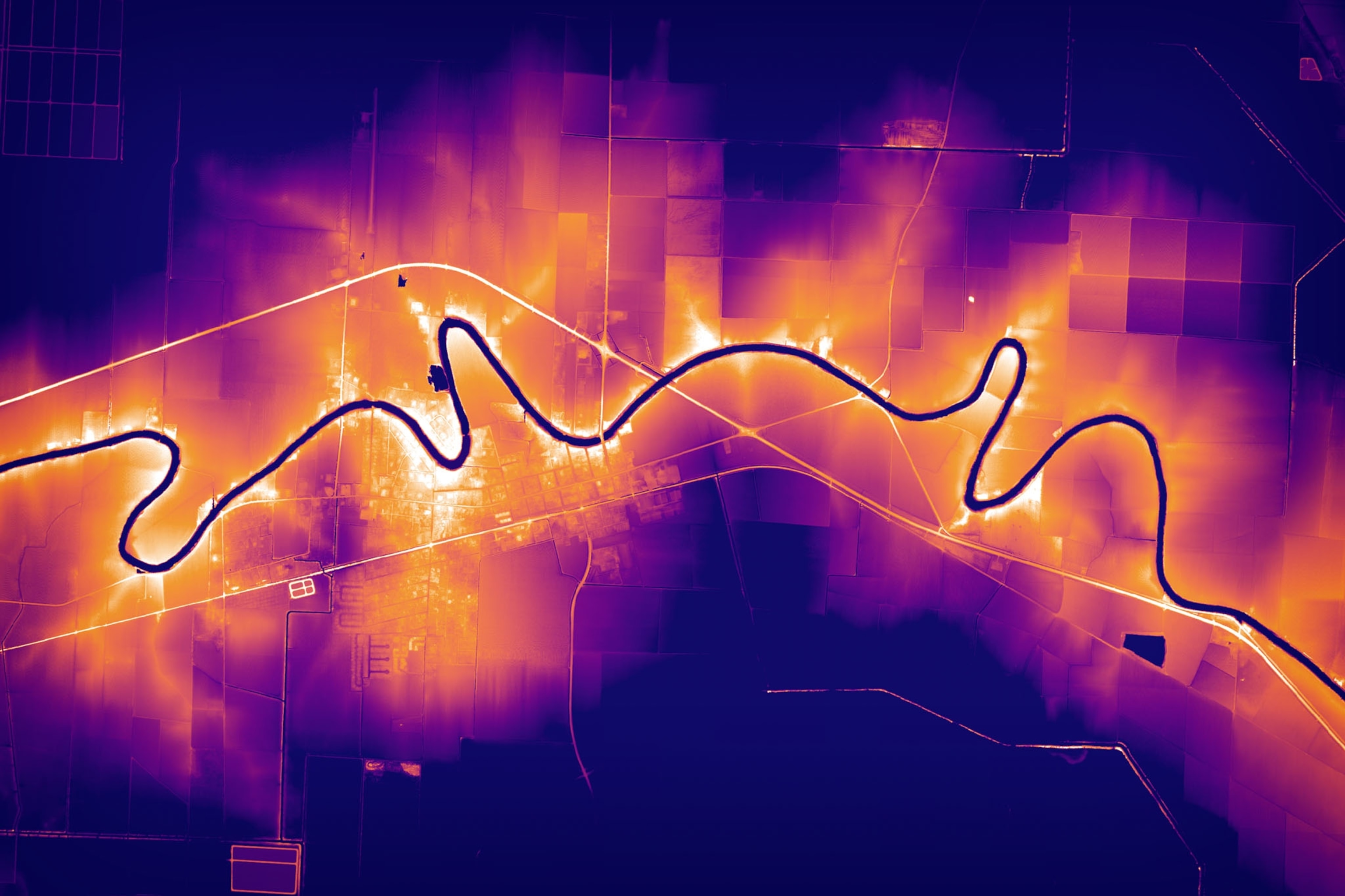
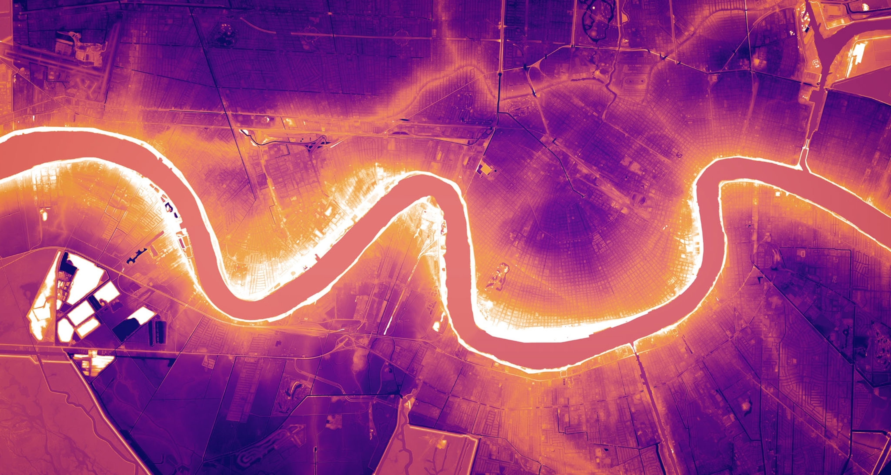
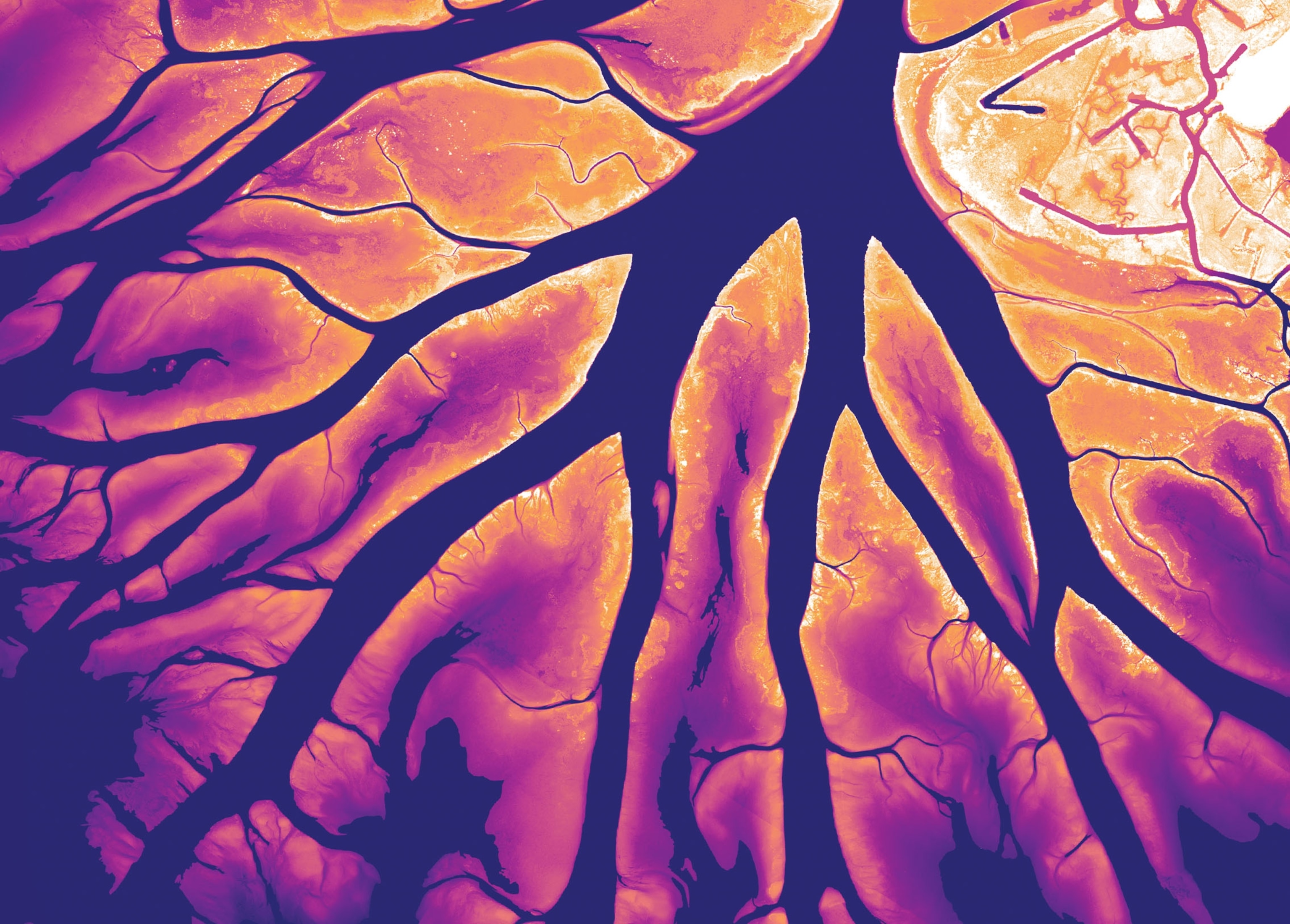
For cartographers and cartophiles, Harold Fisk’s 1944 maps of the lower Mississippi River are a seminal work. In the mid-20th century the geologist charted the river in stunning detail and accuracy, using aerial photos and local maps. The centerpiece of his report was 15 maps showing the meandering Mississippi and its historical floodplains stretching from Missouri to southern Louisiana.
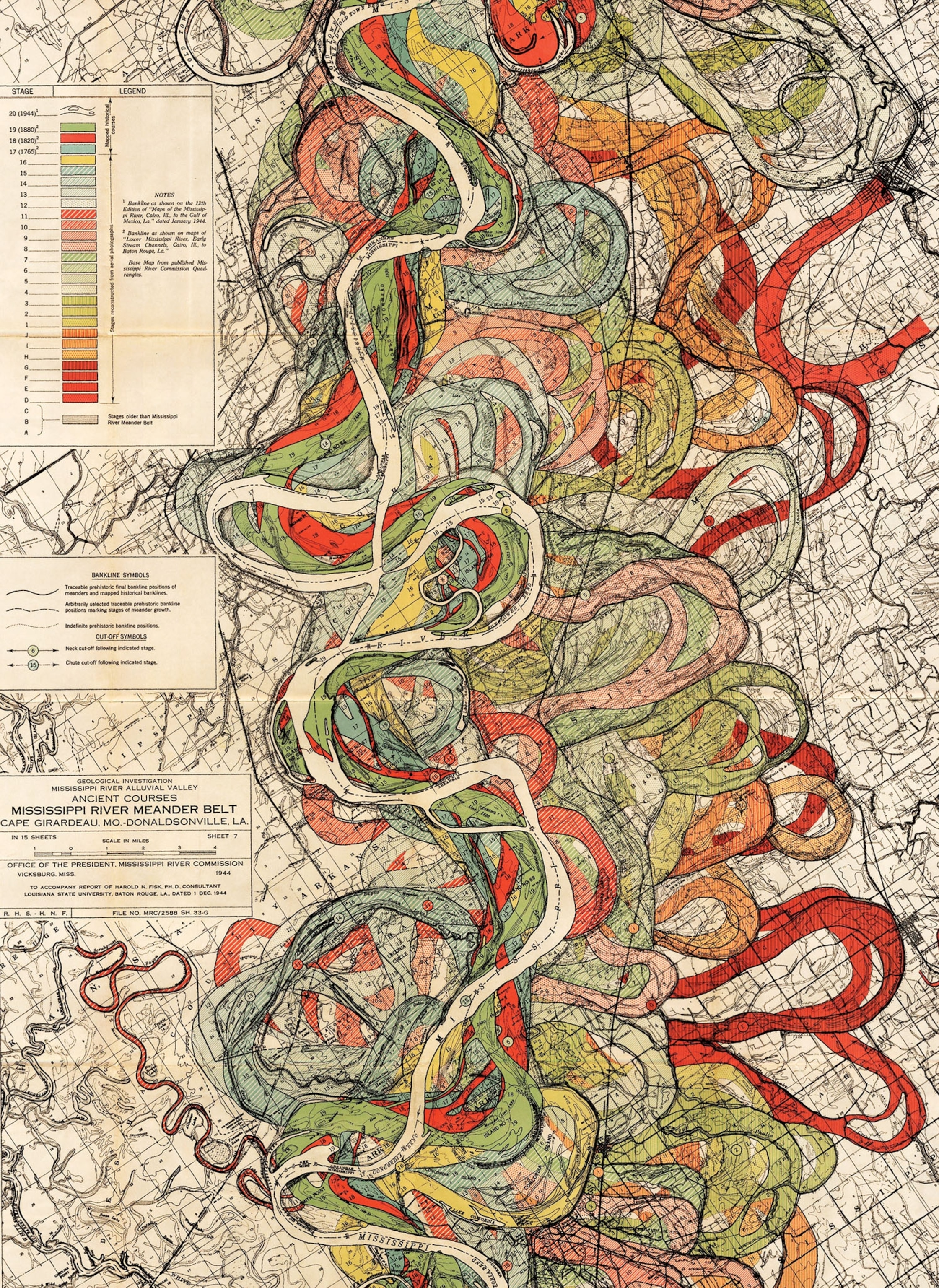

More than seven decades later, Daniel Coe, a cartographer for the Washington Geological Survey, wanted to re-create Fisk’s maps with greater accuracy and a new aesthetic. Coe had the advantage of hyperprecise U.S. Geological Survey (USGS) data collected using lidar, a system of laser pulses sent from aircraft to measure topography. The lasers detect the river’s shape along with everything around it—every house, tree, and road. Strip away these layers of vegetation and human add-ons, and Coe’s maps show the river’s bare-ground geomorphology: once lazy bends replaced by direct flow, old floodplains cut off by levees and dikes.
USGS scientists collect lidar data (almost all of it open-source) to visualize how land evolves, and enterprising mapmakers can interpret the data in new ways. Slight changes in elevation can be the difference between a peaceful river and a devastating flood. Excessive soil runoff from agriculture can cause river migration and create longer shipping routes.
All of the above makes a river’s past behavior the best indicator of how it might react to future landslides, floods, or erosion. “The most surprising thing is how much of an imprint is still left on the landscape,” says Coe. “It’s like seeing fingerprints the river left behind.”

