What To Do in Capitol Reef
From Surprise Canyon to the Temple of the Sun, discover the best that Capitol Reef National Park has to offer.
TOP EXPERIENCES
Pick heirloom fruit from the park’s historic orchards while balancing on traditional three-legged ladders (mid-June to mid-October). Escape the crowd by fording the shallow Fremont River (high-clearance 2WD or 4WD vehicles only) and head out on a 58-mile dirt road loop into desolate Cathedral Valley, an austere landscape dominated by two sandstone sentinels, Temple of the Sun and Temple of the Moon.
Or hike 1.75 miles up to Cassidy Arch, named after the infamous train robber, while keeping an eye out for bighorn sheep. From the arch, it’s possible to rappel down guided by local canyoneers.
SCENIC DRIVE
After attending a geology talk at the visitor center at 10 a.m., grab a Scenic Drive brochure and drive the 7.9-mile-long route, stopping at the guide’s recommended 11 spots for firsthand evidence of the geologic forces that formed the Waterpocket Fold, a 100-mile-long reef of stone. But don’t stop there. At road’s end, continue on foot 10 minutes down Capitol Gorge—at one time the only route through the reef—to view Fremont petroglyphs and the Pioneer Register, where early settlers carved their names in the stone.
BEST HIKES
Among the 15 hiking trails leaving from Highway 24 and the Scenic Drive, two of the most popular are Hickman Bridge, a one-mile ascent to a 133-foot-long natural bridge, passing a Fremont pit house ruin and granary along the way, and Grand Wash, an easier 2.2-mile-long walk down a canyon whose sheer 500-foot walls narrow to within 16 feet of each other (not the place to hike when rain threatens). The more strenuous 1.75-mile-long Cohab Trail switchbacks up 400 feet to a hidden canyon highlighted by a small arch and hoodoo where, as legend has it, Mormon polygamists (“cohabitionists”) would hide whenever the feds came poking around.
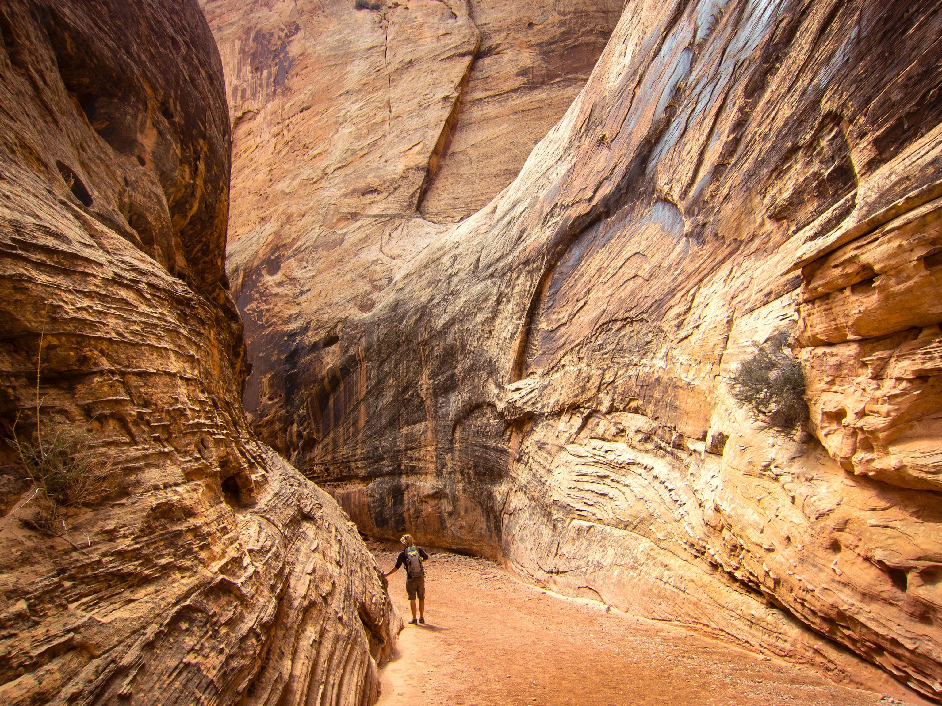
The park’s southern Waterpocket district provides more of a backcountry experience, from short hikes up narrow Surprise and Headquarters Canyons to a more arduous nine-mile cairned loop through Upper Muley Twist Canyon to see large arches and spectacular views of the Waterpocket Fold. (You’ll need route-finding abilities and a high clearance vehicle to reach the Muley trailhead at Strike Valley Overlook.)
FLORA/FAUNA
Varied habitat and a 7,000-foot elevation range characterize the Waterpocket Fold, where conifer forests, piñon-juniper shrublands, hanging gardens, greasewood flats, shale badlands, and riparian woodlands account for the park’s diverse wildlife, including over 40 endemic and rare plants and more than 230 bird species.
You don’t have to go far to see them. Look for indigo buntings, willow flycatchers, Bullock’s orioles, and warblers in the Fruita picnic areas or along the mile-long Fremont River Trail. Bighorn sheep are often seen in the Fruita area, and resident mule deer graze the orchards, a lure for rarely seen mountain lions who prowl the periphery at dawn and dusk.
PHOTO OPS
Panorama Point on Highway 24 offers convenient roadside access for photographers; be sure to continue along the mile-long spur road to Goosenecks Overlook and hike 20 minutes to Sunset Point for even more luminous views of the Waterpocket Fold. In Cathedral Valley, the Temple of the Sun illuminated by the early morning sun is the park’s most iconic shot, but you’ll have to leave two hours (or more, depending on conditions) before sunrise to capture it.
SMART TRAVELER STRATEGIES
Start your day with piping hot breakfast pies served at the 1908 Gifford Homestead, a Capitol Reef tradition. Kids can spin wool, grind corn and make plaster casts of animal tracks at Ripple Rock Nature Center (Memorial Day to Labor Day). Nightlife revolves around the campground amphitheater, where nightly campsite programs are followed by stargazing sessions under skies so clear you just might spot the International Space Station.
You’re allowed to pick fruit from any unlocked orchard. Eat on-site for free or fill a to-go bag, paying for it at the self-weigh stations. Orchard map in hand, head to the Jackson Orchard to find the Capitol Reef red apple, the park’s unique strain.
EXCURSIONS OUTSIDE OF THE PARK
Head south 46 miles via Highway 12 to the Anasazi State Park Museum for a self-guided tour of reconstructed ancient Puebloan ruins. Continue another nine miles south to Calf Creek Falls, a feathery 130-foot waterfall that is a crown jewel of the Grand Staircase-Escalante National Monument. Bryce Canyon National Park is 120 miles southwest of Capitol Reef, and the whimsical hoodoos of Goblin Valley State Park are 68 miles northeast via Highway 24.