A local’s guide to hiking in St. Anton am Arlberg, Austria
Home to rugged peaks, rolling meadows and picturesque, verdant valleys — St. Anton am Arlberg in Austria offers plenty of scope for outdoor adventures. Local mountain guide Geli Häusl shares her top hiking tips and trails.
Renowned for its wild, wintery terrain, St. Anton am Arlberg is often hailed as the cradle of alpine skiing. But the idyllic Austrian town is also gaining recognition as a summer destination, with a plethora of hiking routes in the surrounding mountains to tempt visitors, from easy, low-level trails to paths that lead over mountain ridges high above the valley.
“The options for hiking are endless,” says Geli Häusl, founder of Geli Skiing. “I love showing people who usually visit in winter just how beautiful it can be in the summer months.” Born and raised in Strengen am Arlberg, a quaint, neighbouring village, Geli claims there’s something to suit everyone, whether you’re visiting with young children or opting for a more physical challenge.
Geli’s top four hiking trails
1. Two Gorges Trail
Difficulty: easy to moderate
Hiking time: 3h15m
Total distance: 5.3 miles
Vertical distance: up 1,165ft; down 1,165ft
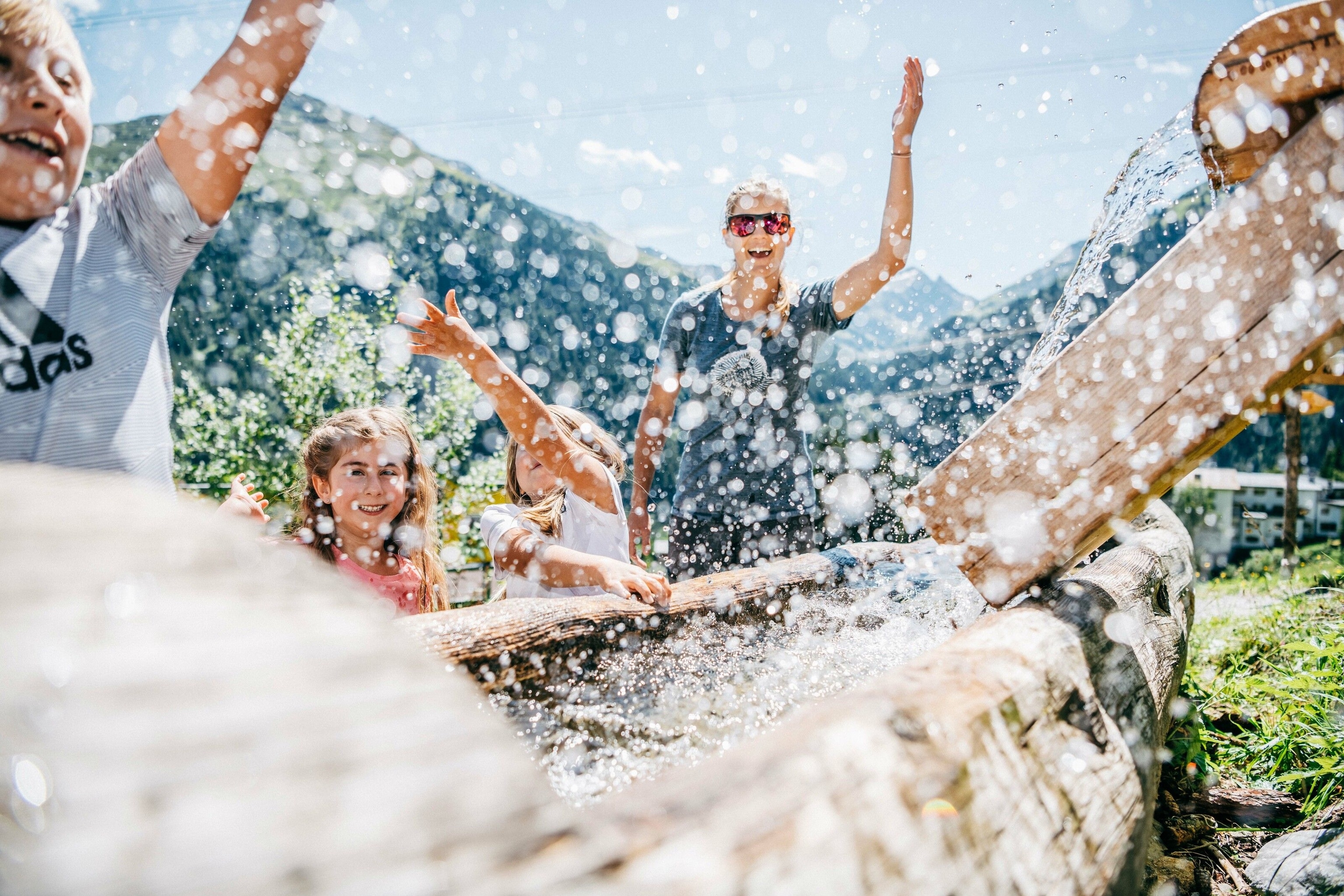
Starting and ending in St. Anton am Arlberg, this route links several well-marked trails and is an excellent option for your first hike or if you’re travelling with children. The trail begins at the tip of the Rosanna gorge, with the river of the same name rushing past on one side, before joining the WonderWalkingWay. Along the route, you’ll find all sorts of interactive experiences and signs that explain how the locals used to live in these mountains, as well as paths where you’re encouraged to walk barefoot.
Geli recommends stopping at the Sennhütte mountain hut for lunch, where a kaiserschmarren — a sweet, chopped-up Tyrolean pancake — is a must-try. Be sure to explore the herb gardens while children play in the treehouse, before making your way downhill along the Mühltobelweg Gorge. The trail is well sign-posted, with a few small ladders and sets of steps to aid your climb, plus several waterfalls to admire along the way.

2. Alpenrosenweg
Difficulty: medium
Hiking time: 7h15m
Total distance: 11.2 miles
Vertical distance: up 3,051ft; down 3,051ft
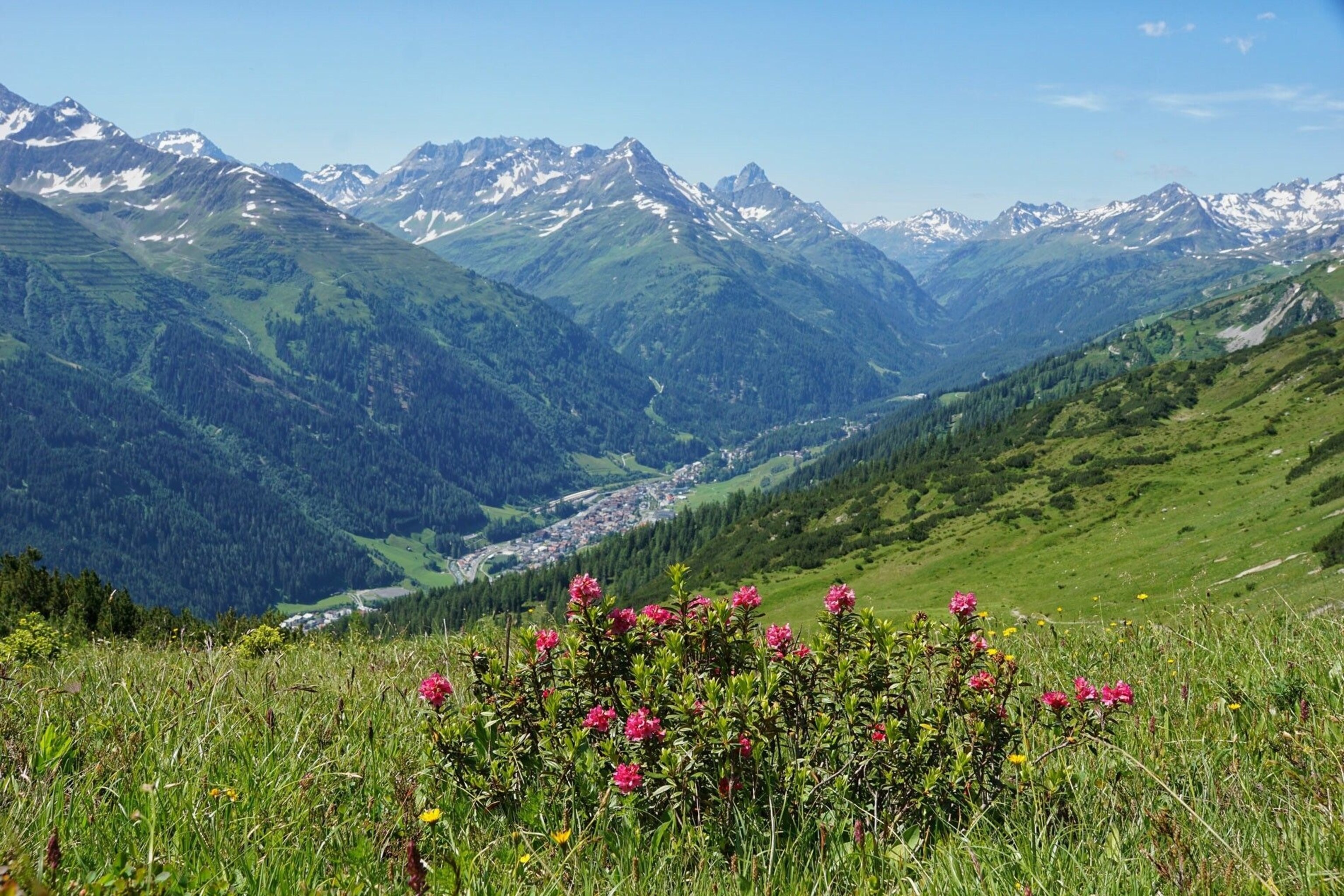
Named after the alpine rose bushes that blossom along its slopes from May to July, the Alpenrosenweg (Alpine Roses Trail) rewards hikers with superb views of the Lechtal Alps and the Stanzertal Valley. It begins at the top of the Rendlbahn cable-car, at around 6,660ft above sea level. To get here from St. Anton am Arlberg, hikers must meander through a forest and cross over the Moosbach river before heading uphill into the Moostal Valley. Those wanting an easier ascent can take the cable-car from St. Anton am Arlberg (note that it only operates on Wednesdays and Thursdays).
From the Rendlbahn cable-car, the route is fairly level, allowing you to soak in the surrounding views, such as meadows dotted with dairy cows brought up from the valley for summer grazing. Fill up on a plate of hearty kaspressknödel mit sauerkraut (cheese dumplings with sauerkraut) at the Rendlalm hut, before making your way along the Erzherzog-Eugen-Weg, which leads you through the forest and back down to St. Anton am Arlberg.

3. Berggeistweg
Difficulty: medium
Hiking time: 6hr15m
Total distance: 9.3 miles
Vertical distance: up 2,625ft; down 2,493ft
Starting from the village of St. Christoph — a short bus ride from St. Anton am Arlberg — this circular hike is notable for its trio of imposing peaks, including the Patteriol, which is generally considered the most beautiful mountain in the region. At an altitude of 5,905ft, you’re already above the tree line when you set off along the Berggeistweg (‘mountain ghost path’ — although no one seems to know how it got its intriguing name). After a steep climb for the first hour, the trail flattens out to reveal mountain goats and Haflinger horses grazing in meadows.
Refuel at the picturesque, wooden Kaltenberg Hut with a steaming bowl of goulash with spätzle (goulash with noodles). From here, it’s a gentle, two-hour walk along the Paul-Bantlin-Weg to the starting point at St. Christoph am Arlberg, ready to hop on the bus back to St. Anton am Arlberg.

4. Valluga
Difficulty: difficult
Hiking time: 6hr15m
Total distance: 10.2 miles
Vertical distance: up 984ft; down 5,249ft
Hikers with a head for heights will love this route, far above the valley. Situated along a narrow and exposed alpine path, surefootedness is essential. Starting at the Valluga summit station, at 9,222ft, the hike can be reached via two cable-cars from St. Anton am Arlberg. Even if you don’t want to do the walk, it’s worth coming up for the panoramic views, which, on a clear day, reach around Austria and all the way to Liechtenstein, Germany, Switzerland and Italy. From here, take the trail that winds down to Leutkircher Hütte — if the kohlröschen orchids are in bloom, you’ll be bathed in their vanilla scent.
Built in 1912 on a ridge 2,953ft above St. Anton am Arlberg, the Leutkircher’s sumptuous dishes are accompanied by incredible views. Geli recommends ordering the Brettl jause, a wooden board piled high with regional cheeses, meat and pickles, or, if you’ve the time to spare, staying overnight and heading out the next day on walks in the surrounding area. Otherwise, take the track that zigzags down the mountain through the forest to St. Anton am Arlberg. On your way, you can call in at the Putzenalm dairy farm, where you can buy mountain cheese as a memento of your day in the mountains.
Plan your trip
To reach St. Anton am Arlberg from the UK, you can fly to either Zürich or Vienna and hop on a direct train. The Railjet service is the quickest — the fastest journey time from Zürich is just under two and a half hours, and from Vienna it’s just under five and a half.
For more inspiration and information, visit stantonamarlberg.com and austria.info
Follow National Geographic Traveller (UK) on social media