The Ultimate Road Trip: Johannesburg to Kruger
En route between Johannesburg and Kruger National Park lies Blyde River Canyon National Park, a sublime wilderness characterized by sweeping vistas and geological curiosities, and surrounded by waterfalls and creaky prospecting towns.
The proximity of the headline attractions — Pilgrim’s Rest, God’s Window, Bourke’s Luck Potholes and the Three Rondavels — mean they can all be seen on a whistle-stop trip. But lingering a day or two to hike, wild-swim and leisurely absorb the landscape is what driving the Panorama Route is all about.
1-2: Johannesburg to Mpumalanga
It’s not widely known that an overland journey to Kruger National Park (340km/ 211 miles) from Johannesburg as the crow flies) holds as much beauty and excitement as the world-famous safari destination itself. Heading eastwards into Mpumalanga, the ‘land of the rising sun’, the jacaranda trees and gleaming highrises of Johannesburg are replaced by glorious, undulating expanses that rise to the lip of the Great Escarpment. It’s here, upon the cusp of this dramatic, geological marvel, that the Panorama Route begins.

3-4: Long Tom Pass to Graskop Gorge
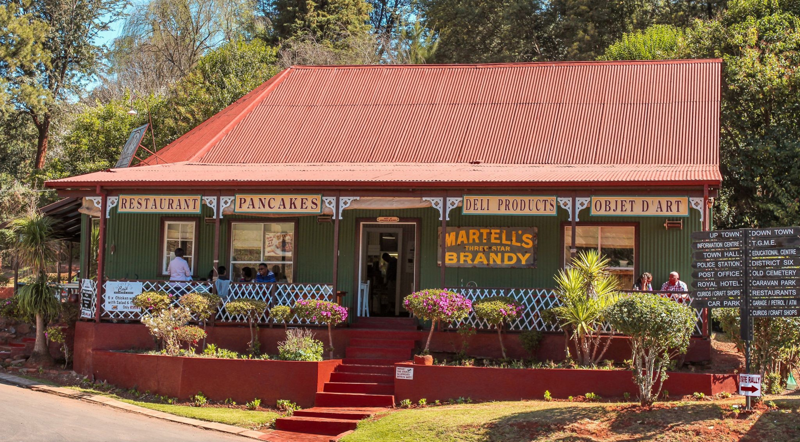
Approach the region via Long Tom Pass, a snaking road affording unspoilt views of grasslands. Head for Graskop, a small town situated within striking distance of the Panorama Route’s most important features. Stop off at the dramatic Graskop Gorge for a dose of adrenaline in the form of the world’s highest cable gorge swing. If freefalling 70 meters at 140 kmph (230 feet at 87 mph) isn’t your bag, a wander through the gorge’s nature trails and a climb of 400 steps back to the top should still get the heart racing. Your reward lies nearby in town: fuel up at the famous Harrie’s Pancakes, savoring local fillings like bobotie(curried meat with a creamy topping) or lamb bredie (a slow-cooked Cape Malay stew).

5: Pilgrim’s Rest
A half-hour’s drive along the R533 brings you to Pilgrim’s Rest, a characterful 19th-century Gold Rush town, recognized by South Africa as a national monument. Many Victorian buildings survive, including the memorabilia-filled Royal Hotel with its rustic saloon bar. The town wears its heritage proudly, offering short tours, small museums and gold panning experiences.
Switch your camera to panorama mode as you drive north out of Graskop. Exit onto the R534 to reach a series of awe-inspiring, lofty viewpoints, the finest of which is God’s Window. On a clear day, it’s said you can look down upon the lowveld and across Kruger to Mozambique beyond. As with most attractions, a nominal fee must be paid on entrance. The so-called Wonder View nearby, however, is unticketed and accessible beyond the opening hours of 7am-5pm (standard for most of the route’s attractions).


Connecting back onto the R352, the main thoroughfare of the Panorama Route, brings you to Lisbon Falls, the highest and most famous cascade in a region blessed by dozens of waterfalls and bathing pools. Leave the crowds behind at the viewing platform and take the lesser-known, 40-minute hiking trail down to the pool below to witness the force of the 92-meter (302-foot) cascade up close. Wild swimming is permitted, although arguably the best spot for this is Mac Mac Falls, a short drive south of Graskop, which has braai facilities, a birding trail and a series of pretty bathing pools. To enjoy the popular spot in solitude, arrive early or clamber further upstream to a shallower part of the cascade.
Nineteenth-century prospector Tom Bourke never struck gold; his luck was to stake a claim to a geologically fascinating patch of land, which still bears his name. Bourke’s Luck Potholes, part of the Blyde River Canyon National Park, lies at the confluence of two rivers: the Blyde and the Treur. Millennia of churning eddies have eroded surreal, cylindrical ‘giant’s kettles’ into a gorge, which can be viewed from above via walkways and bridges. The visitor’s center offers refreshments, but a scenic, hidden-gem of a restaurant lies at the end of a long dirt track, the turning for which is 4km (2.5 miles) south on the main road. At Potluck Boskombuis, a rustic bush kitchen beside a boulder-strewn riverbank, try traditional potjiekos (literally ‘small pot food’), cooked on an open fire.

6: Three Rondavels
The awesome landscape of Blyde River Canyon is best explained through superlatives: at 25 km long (16 miles), it is the largest green canyon in the world; and with sheer walls averaging 750 meters (2,460 feet) it also has the most precipitous cliffs, putting the USA’s Grand Canyon and Namibia’s Fish River Canyon to shame. The view of the Three Rondavels — a trio of curious pinnacles shaped like traditional African huts — and down to the dam below is as iconic as that of Table Mountain in Cape Town. It’s particularly beautiful just before closing, when the light softens and the russet hues of the rocks deepen.
7: Kruger National Park
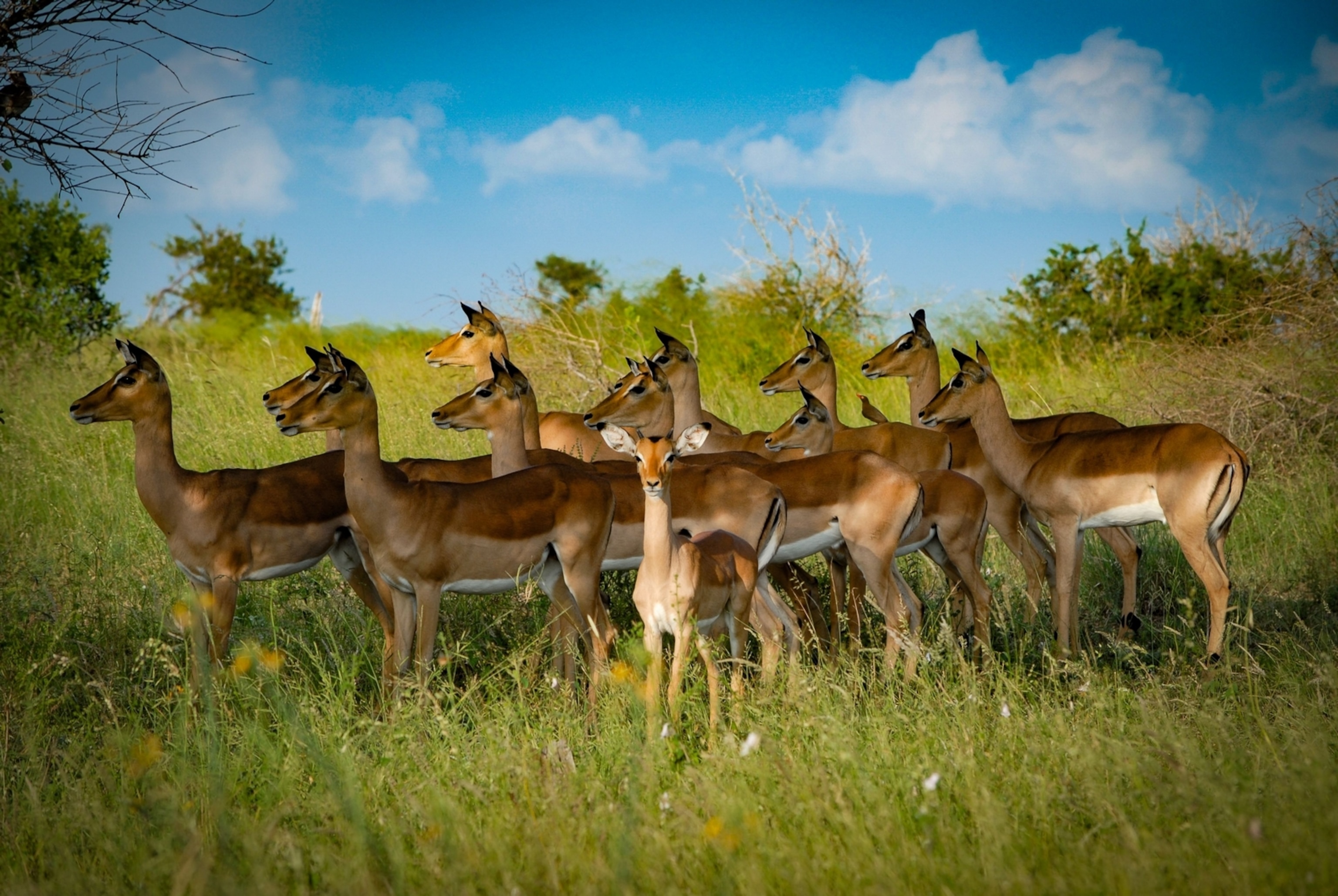
Your final destination, Kruger National Park, lies around an hour’s drive eastwards from Graskop along roads that descend dramatically from the escarpment into plains teeming with charismatic megafauna and birdlife.
Plan your South African adventure today. Discover more
Arrival airport: OR Tambo International Airport, Johannesburg
Destination: Kruger National Park
The route: A five-hour drive (380km /236 miles) separates Johannesburg and the town of Graskop, where many travelers choose to base themselves overnight while exploring the Panorama Route. From here, the major sights are all a short drive away. The Three Rondavels viewpoint is the most distant attraction listed, due north along the R352 (61km/ 38 miles). Circling back to Graskop before heading onwards, the Phabeni Gate entrance to Kruger National Park is an hour’s drive east via the town of Hazyview (51km/ 32 miles).
When to go: The drier winter season (May-August) brings cooler temperatures and clearer vistas, while the rains of summer usher in wildflowers and increase the flow of waterfalls.
Driving tips: While the roads are largely wide and well-maintained, there are occasional potholes along the Panorama Route which can be hard to spot at night and during fog and rain. During adverse conditions, drive well below the speed limit. It’s local practice to employ flashing hazard lights to increase your vehicle’s visibility.