An Appreciation of the Magical Waters of Mozambique
A writer visits the coast of Mozambique, where the ocean holds one of the richest aquatic biological zones on the planet.
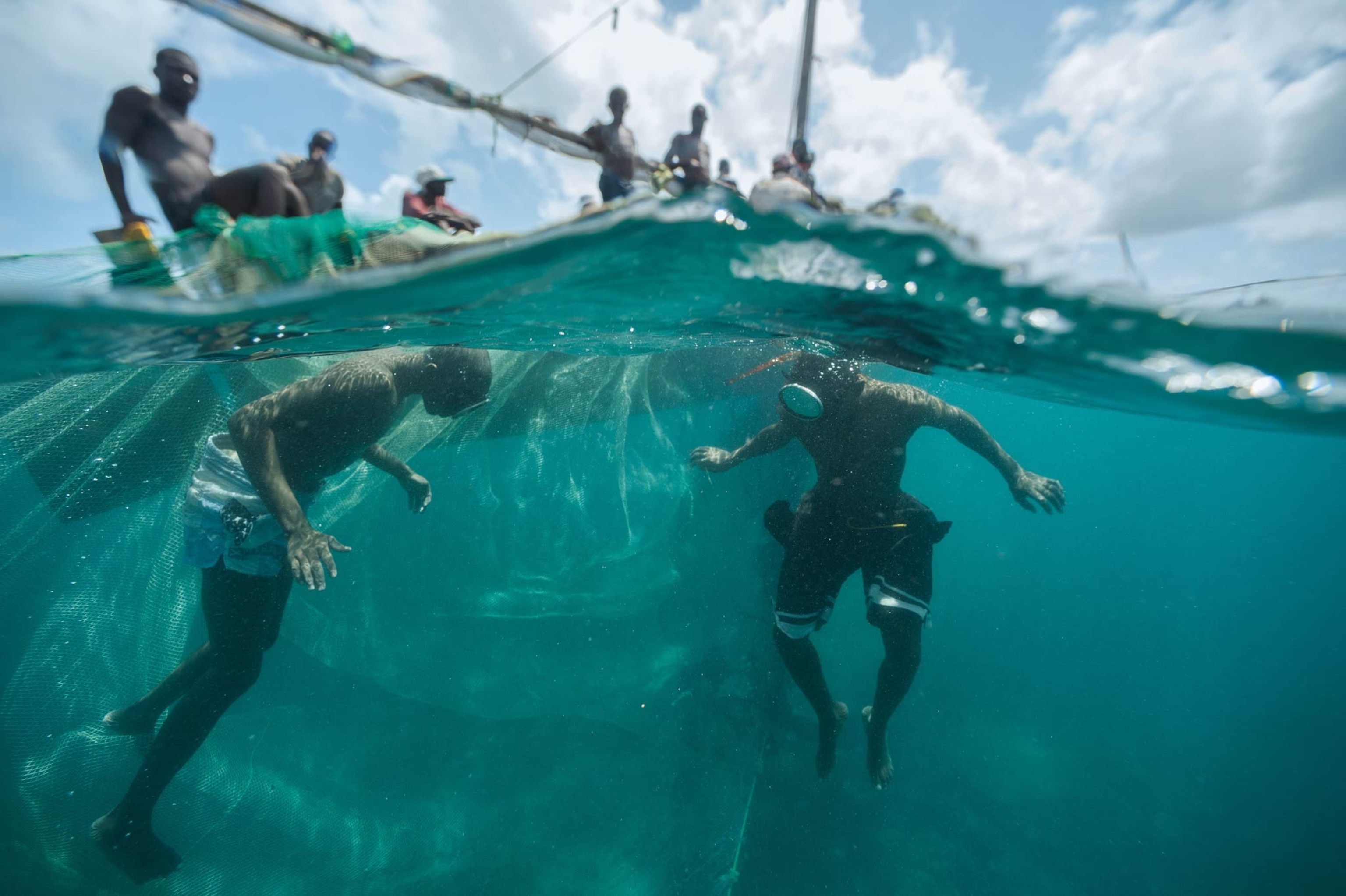
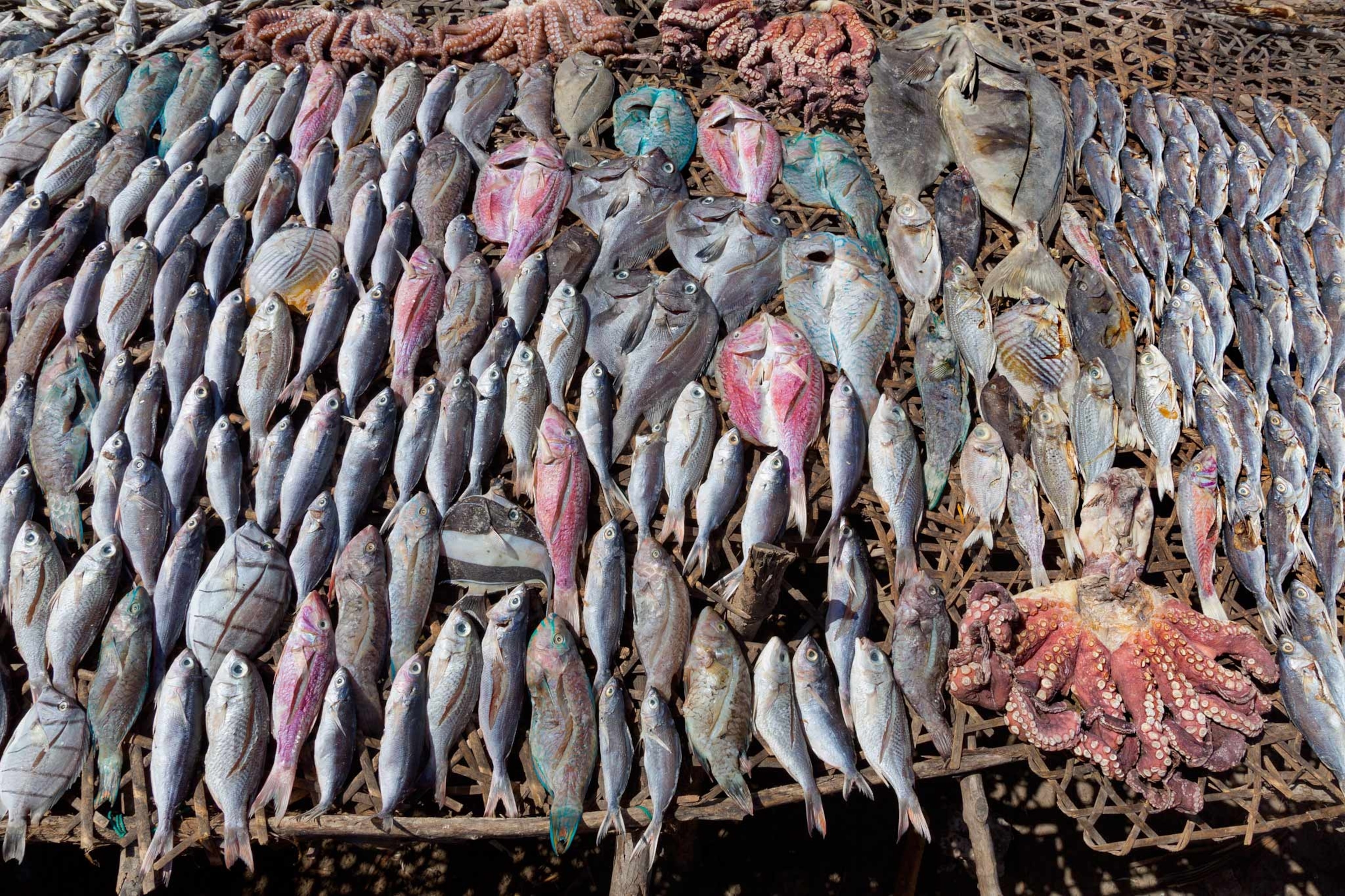
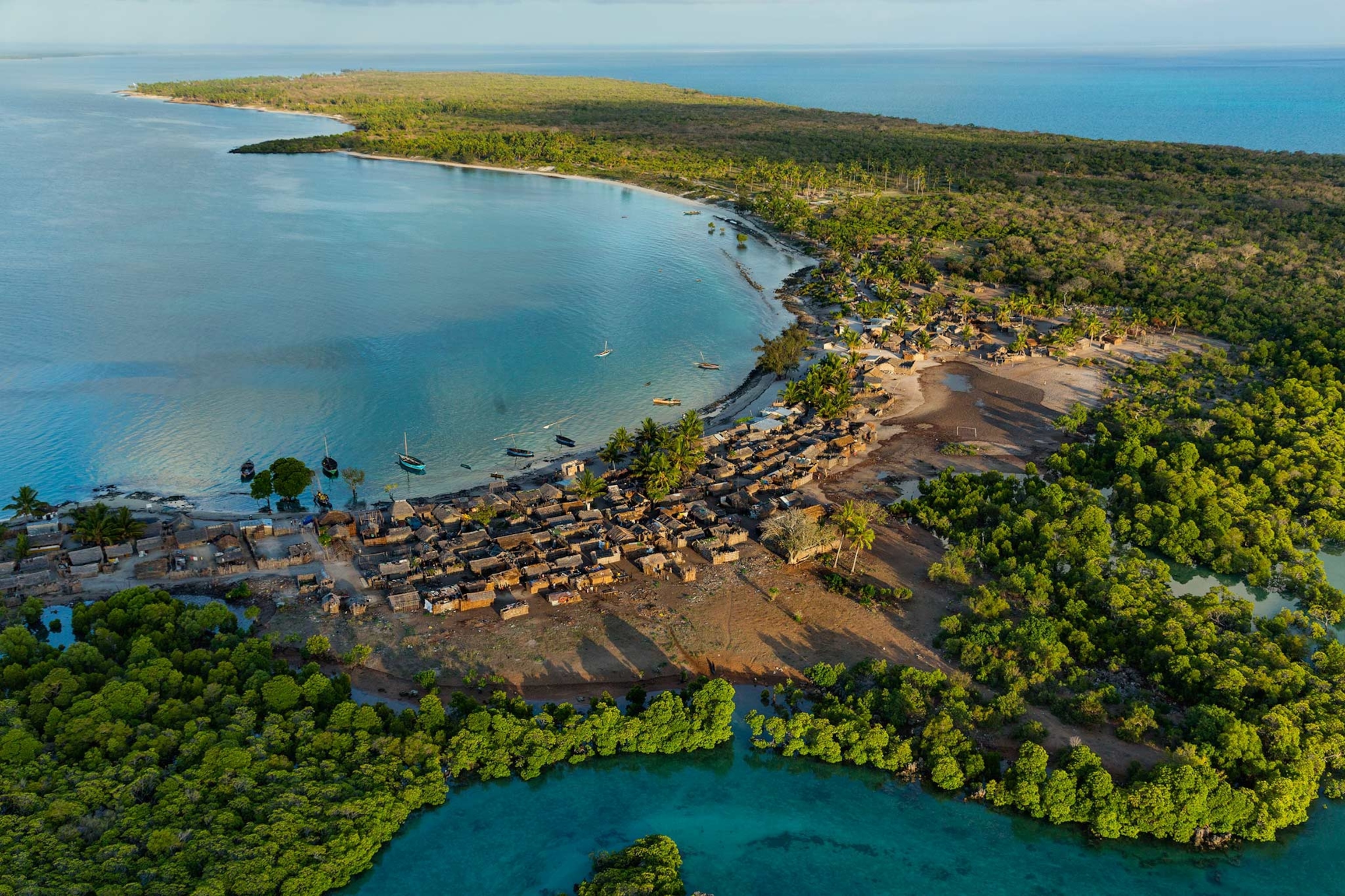
The sea is the best highway along the edge of Mozambique, and some of the watercraft sailing among the islands here carry fishermen from local villages. Some carry Tanzanian fishermen, seeking richer waters. Some carry Somalians and other boat people making their precarious way down the coast to South Africa.
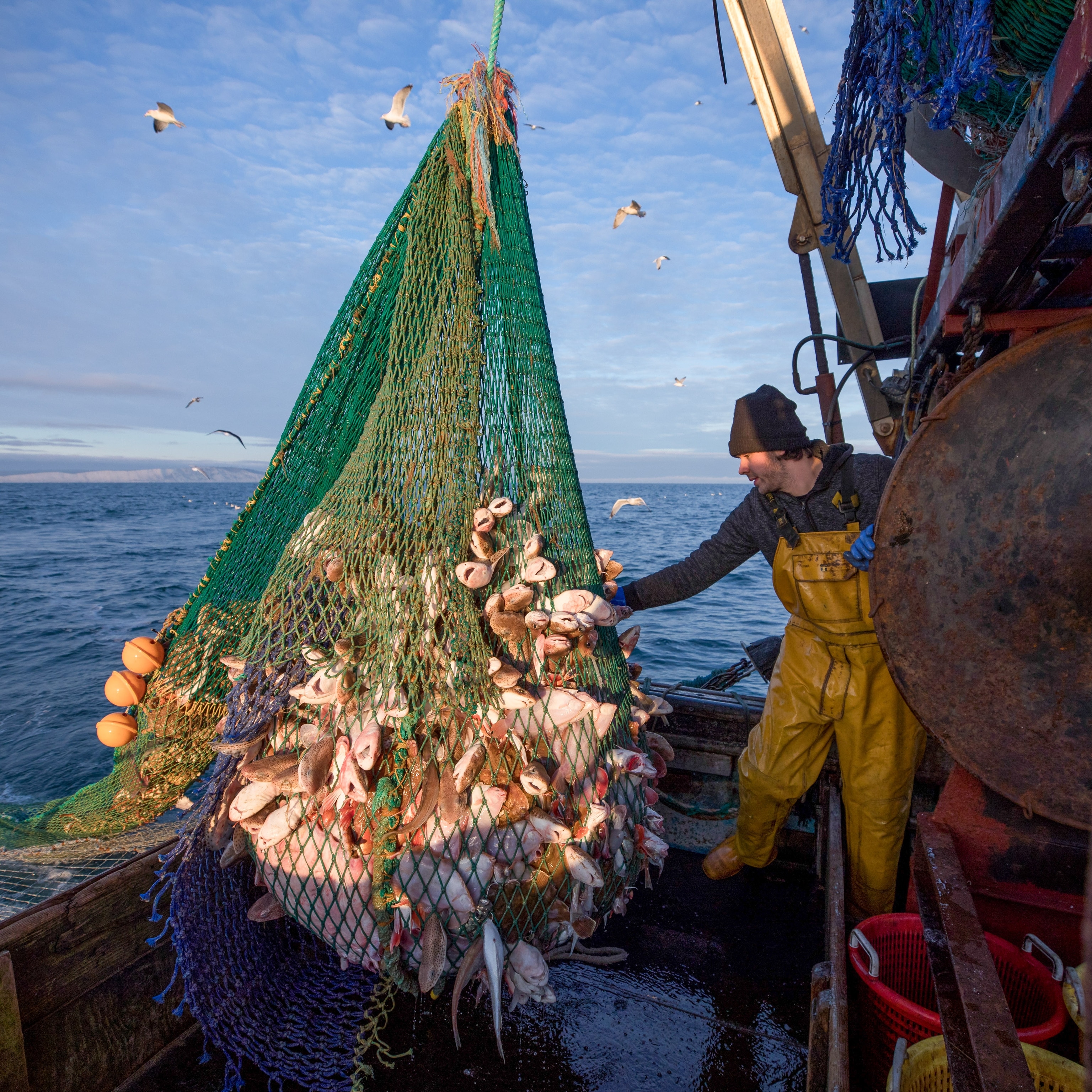
Farther out in the channel are commercial fishermen from all over the world, and farther north—just south of the Tanzanian border, not far from the Quirimbas Archipelago—are the ships that inevitably cluster around a major petroleum strike.
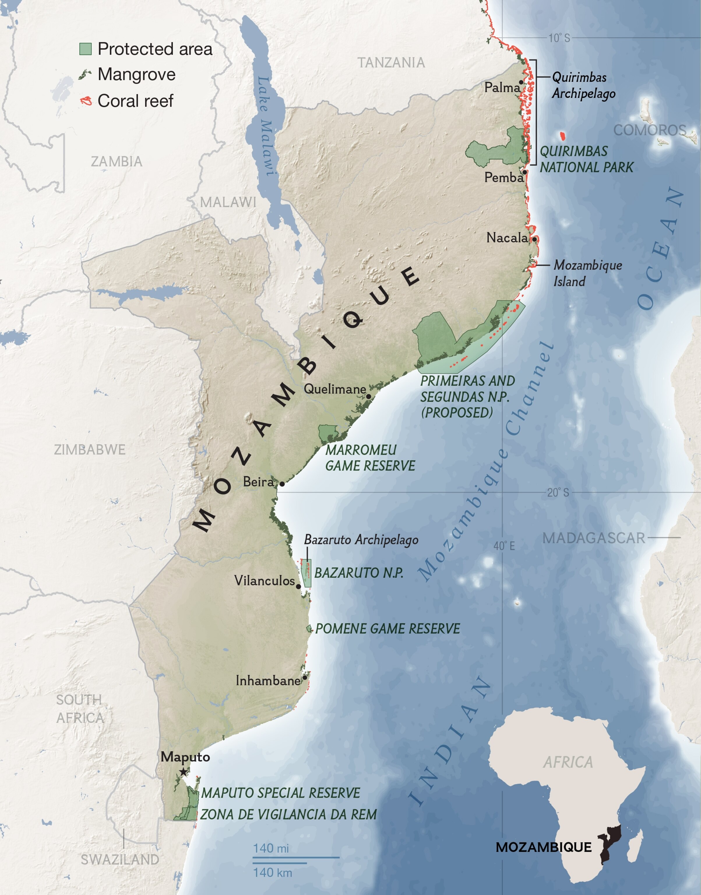
This storied coast has lived through conquest, revolution, civil war, typhoons, and poverty. Now it finds itself adjacent to one of the richest oil and gas discoveries in Africa, trillions of cubic feet of gas, all of it upstream, so to speak, of the biological riches that make this coast so distinctive.
The question is not just how to keep this potential wealth from creating another Nigeria—where oil has done as much harm as good. It is also how to protect the irreplaceable wealth of Mozambique's aquatic biodiversity.
To conjure the coastal reaches of Mozambique in your mind's eye, imagine the duned Sahara overlaid with a mirage of water, a shallow sea just deep enough to bury the crests of sand. Its currents shift the sand drifts relentlessly, filling the hollows with every shade of blue.
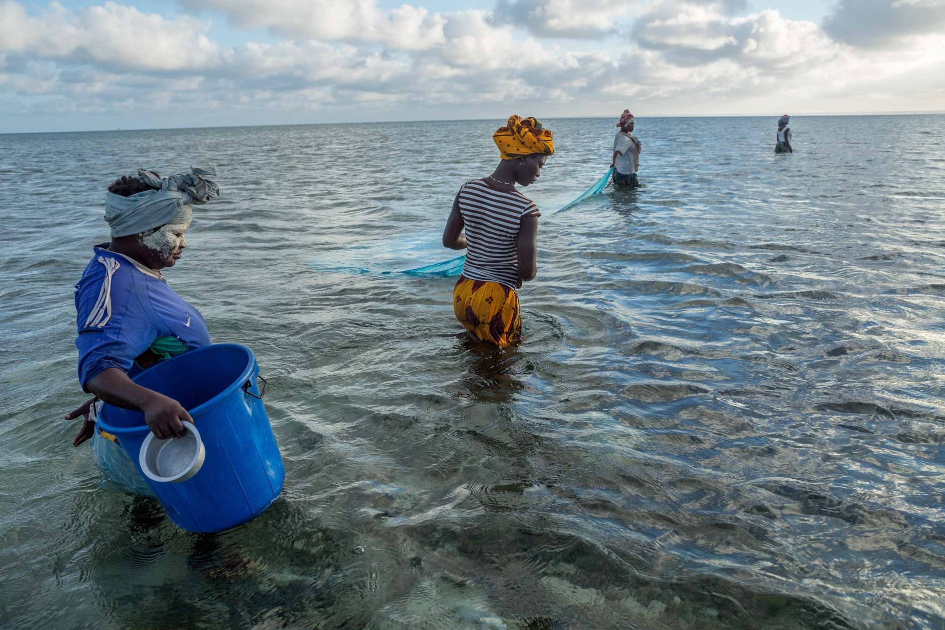
The tide here is not large in height, but in breadth it is magnificent. When it goes out, it seems to go out over the horizon, as if withdrawing into the curved shell of Earth itself. It leaves behind starfish and winding channels through the riddle of the sands. It welcomes Mozambicans gathering mollusks and crustaceans. They wade in water only thigh-deep but seemingly far out at sea.
These coastal waters seem nearly infinite, reaching in all directions, the tides sheeting in and out. From the water, you can't help noticing anything that's vertical. It may be a white-shouldered crow sitting in a 40-foot (12-meter) palm tree. It may be the rainbow spume of mist that follows the blunt cough as a humpback whale surfaces. Or it may be the geyser hurled aloft by a fisherman furiously bailing his dhow before raising sail at dawn.
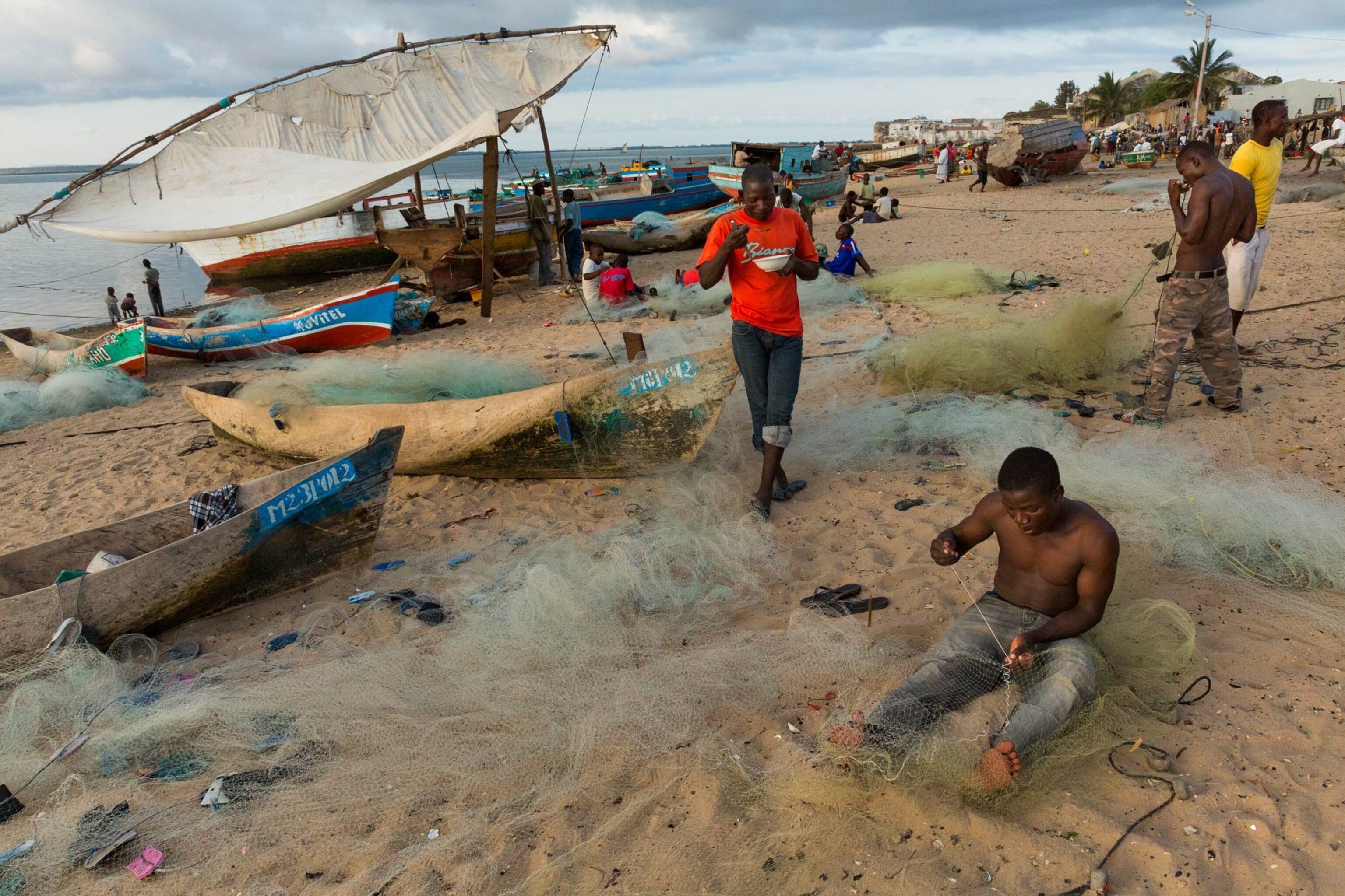
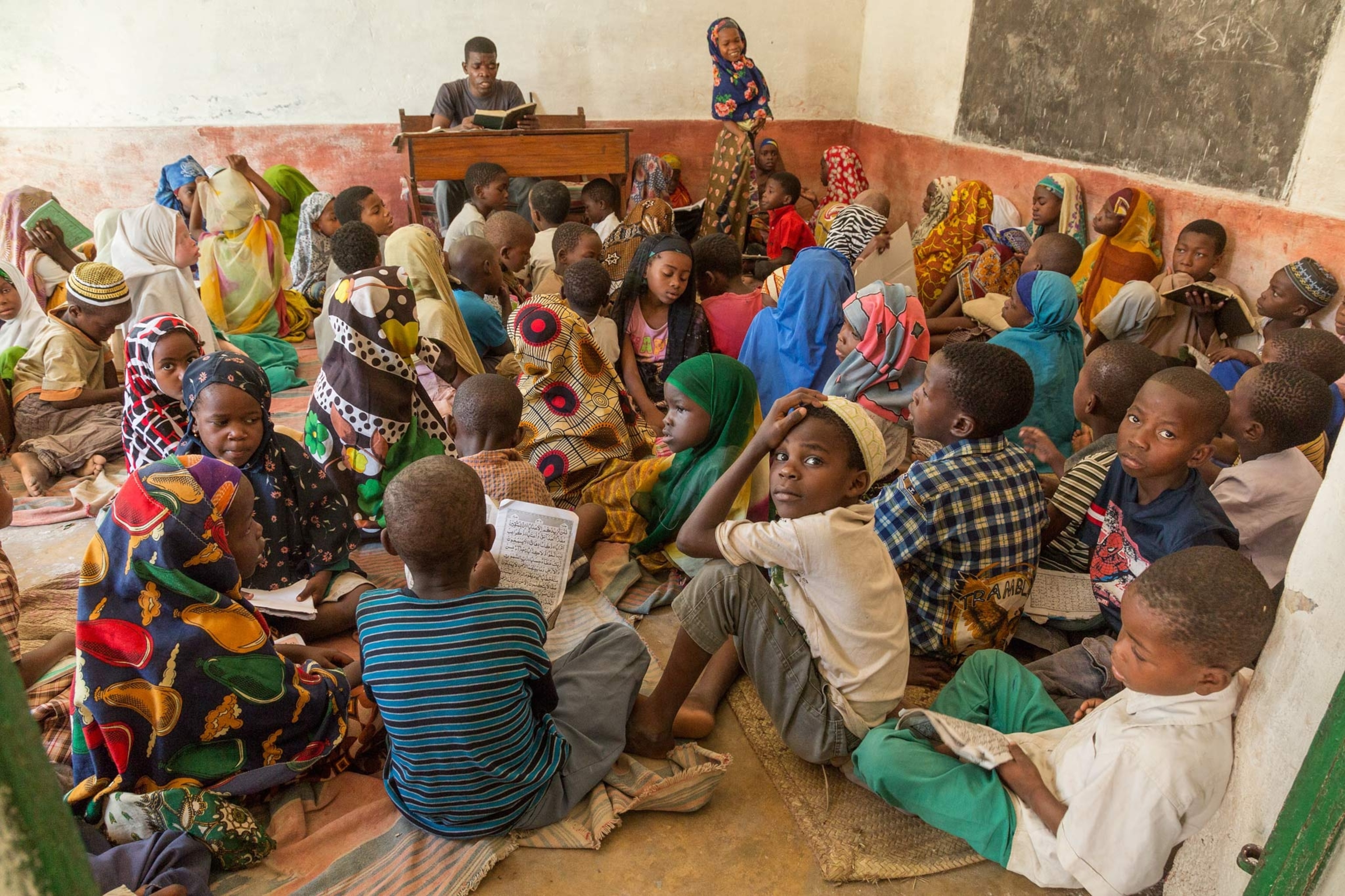
The dhow is the beast of burden along this coast, an ancestral vessel fitted for these shifting, shallow waters. They slant along the light in the dozens, their single lateen sails cocked to the wind, carrying almost anything. Centuries ago they carried Islam and the language that has led many people to call the northern stretch of Mozambique the Swahili Coast. There is redundancy in that name since Swahili derives from the Arabic word for coasts. So let us call Mozambique—from Bazaruto to the Quirimbas—the coast of coasts.
Diving in the Swells
A dhow is in fact the first thing I see when I surface from a sightseeing dive. The vessel is angling along the near horizon, a line strung across its stern for drying clothes and fish. The half dozen people aboard are trying their best to escape the fierce sun in the sail's slim shadow.
On the sea's surface there is a light chop and a breeze giving the dhow a steady push. But at depth there is only the pulsing energy of swells passing through on their way to a nearby reef.
I have just been eye to eye with a hawksbill turtle, while below us a loggerhead lay on the sea bottom under an arch of coral. I held myself motionless at 50 feet (15 meters), and yet I swung back and forth like a pendulum while staying, on average, in place. Anemones seethed around me, back and forth. A school of small, silver fishes swayed back and forth too, packed as tight as the atoms in a molecule, never breaking rank.
To the east, across the Mozambique Channel, lies Madagascar. To the west lie the misleading islands and shoals that fringe this coast. Some remain fixed and always visible, but some vanish with the tide. They are so deceptive that in 1498 Vasco da Gama named one of them Ilha do Açoutado (Island of the Flogged One) after the punishment a ship's pilot received for thinking they were the mainland.
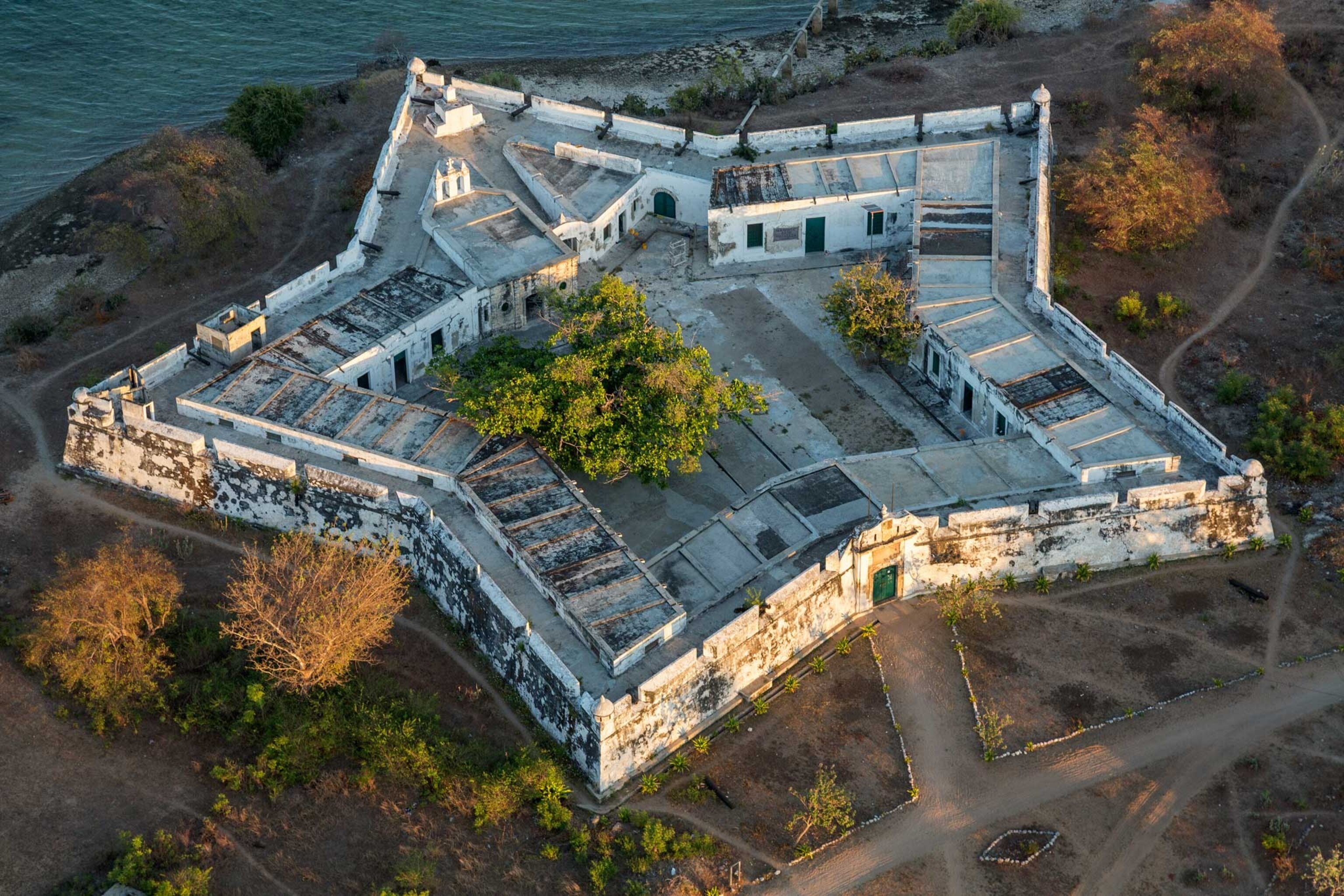
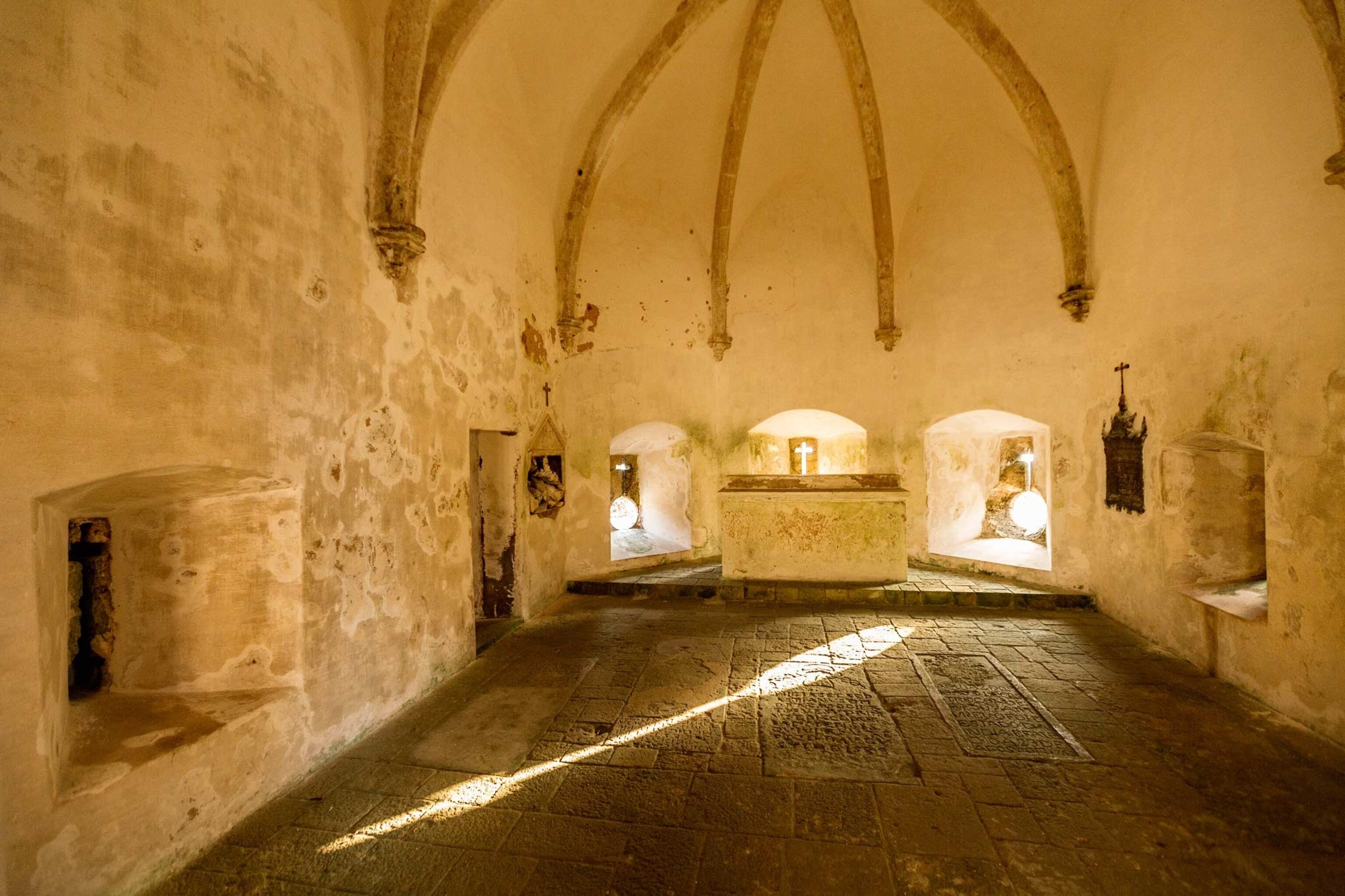
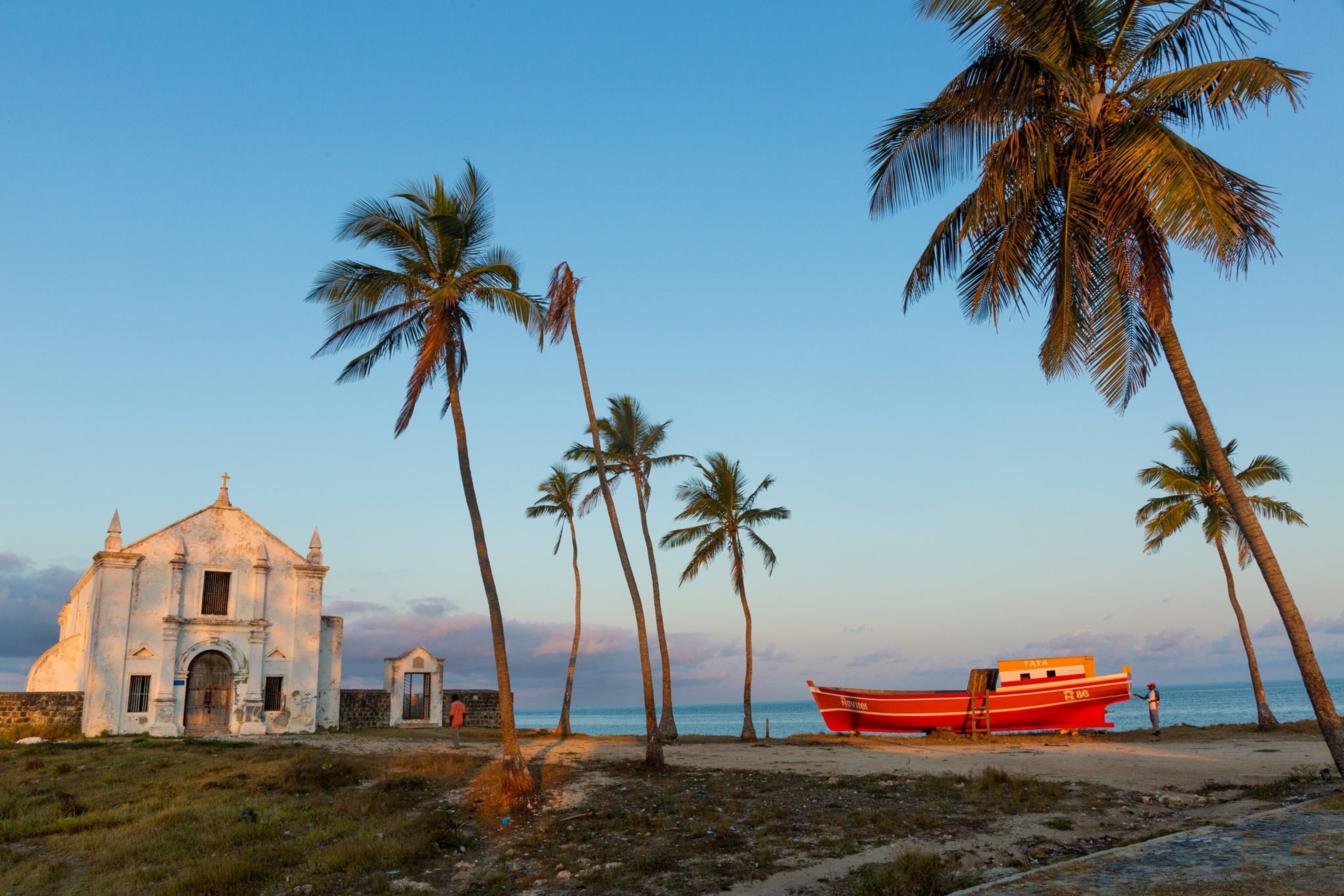
It's an easy mistake to make. From sea level, a mile or two out, the mainland is little more than a series of low, distant indentations. Da Gama came up the coast to the island of Mozambique, having rounded what is now the Cape of Good Hope. He established a Portuguese presence that still endures in language, in cultural connections, and in the abandoned buildings of that island, the ghostly physical remains of Portugal's colonial empire. A century after da Gama came Luis Vaz de Camões, author of Portugal's greatest epic poem, The Lusiad, which sings of da Gama's exploits.
But as a glance at the map will tell you, it's hard not to think of the Mozambique Channel as a broad strait funneling traffic—and culture with it—southward from the Horn of Africa. As da Gama discovered, beating northward by sail up the coast is no easy task, and for centuries navigators have assumed that a continuous southerly current flows through the strait to join the powerful Agulhas Current below Madagascar. Recent research shows something different.
Rich Waters
Just north of Mozambique is monsoon country, where the annual cycle of winds and storms imposes itself and where the currents of the Indian Ocean strike the bulge of East Africa.
What flows—slowly—through the Mozambique Channel is a series of massive counterclockwise eddies so massive that, according to Norwegian studies, they depress the Earth's crust as they pass. And yet they contribute much less volume and force to the Agulhas Current than scientists (and navigators) once suspected. The slow pace—and the very eddying of these eddies—traps and distributes nutrients all along the channel, making this one of the richest aquatic biological zones on the planet.
From the water, it's easy to believe that the Mozambique Channel is merely a continuation of the shoaling sands and the low islands that fringe the coast. That is, until you fly over Bazaruto. It is a barrier island of sorts, open on the east to reefs and tidal flats. The sun sets over them like a hot-air balloon going down, its glare on the placid water slowly retracting until suddenly the sea goes gray.
But it's a different world on the west side of the island. Dunes climb out of the surf and up to a dry, mountainous spine of sand. You can see—in the swell and the surf—the force of the wind blowing cross channel, as if you were suddenly far out on the ocean. The water becomes inscrutable where the land shelves off to the deep.
Leeward and windward are separate worlds here along this ridge of island. On the leeward side the withdrawing tide seems to lure you toward the low mainland coast, as if you could just follow it westward on foot toward the distant columns of smoke rising from the brush. And on the windward side, where the dry sand spumes from the tallest dunes, you can almost imagine hoisting a jib over Bazaruto and sailing the island free from its roots and down the intricate currents of this magical coast.
Verlyn Klinkenborg is the author of many books and articles about special places. He recently retired from the New York Times, where his column "The Rural Life" ran regularly for almost 16 years.
Learn about the National Geographic Society's efforts to record and protect the Swahili Coast's rich biodiversity at Pristine Seas: Mozambique.
