Lost Hiker's Remains Found 5 Years Later in Utah Wilderness
Australian backpacker Eric Robinson vanished after setting out on a 60-mile hike through rugged mountains.
“Can you contact the ranger station for Evanston?” I texted my brother clumsily, my heart racing with adrenaline and disbelief. “The remains of Eric Robinson have been found. Location is just above Allsop Lake, on the way to Dead Horse.”
Up to this point, our morning in Utah's Uinta Mountains had evolved much like the previous six, with a painfully slow attempt to get some instant coffee boiling before grinding out the high passes in a race against the afternoon storms.
Except today, we were even slower than normal. And we actually had neighbors, which was unusual. As we sipped coffee and watched the morning sun slowly inch its way down Yard Peak, a gentleman across the meadow slowly made his way toward us.
He wore a pair of binoculars around his neck, lived in Coalville, Utah, and told us he and his family had been visiting Allsop Lake for decades. In a very soft but urgent voice, he explained he and his sons had been hiking above the lake when they discovered an old backpack, trekking poles, and an I.D.
I started. “Is he Australian?”
The man nodded, and wondered how I knew.


Back in 2011, it seems like everybody knew about Australian hiker Eric Robinson, who went missing somewhere on the Highline Trail in the High Uinta Wilderness of Utah. Massive search and rescue operations lasted several weeks, and flyers were pasted on every trailhead. Despite the incredible efforts of search and rescue teams and many volunteers, very few clues to his fate ever surfaced.
Robinson, an experienced backcountry hiker, had left a detailed itinerary indicating he would begin his hike July 28 and complete it by August 7 at the Hayden Pass trailhead—but he never made it. And no one could recall seeing him along the trail after August 2, when a Scout troop reported they had met him in the Yellowstone drainage, possibly disoriented, nearly 25 hiking miles away from Allsop Pass. Robinson had simply vanished.
Now, five years later, one of the biggest mysteries in the High Uintas was on the brink of being solved.
Sixteen hours earlier, our group had huddled under a pyramid tarp at Dead Horse Lake, getting slammed in a classic afternoon thunderstorm. It was day six of a nine-day traverse along the northern slope of the Uinta Crest, and we were hoping the storm would break early enough that we could make the last two-mile push into Allsop before nightfall.
Our route had been mostly off-trail for the previous five days, but today we followed the Highline as it momentarily jumped to the north side of the divide. The storm kept pounding, and I said to my partners that if the weather didn’t break, this would be an easy location to jump back on the Highline and make up miles in a hurry.
From our impromptu bivy at Dead Horse Lake, we had an unobstructed view of the the Highline and the unlikely route over Dead Horse Pass. The pass is entirely north-facing, and bound by cliffs on both sides. It is steep and massive, with more exposure than typical Uinta standards. Many Highline through-hikers regard it as the most difficult pass on the trail, primarily because it holds snow well into August and September. Looking at it from below, it’s difficult to imagine that a trail ascends it.
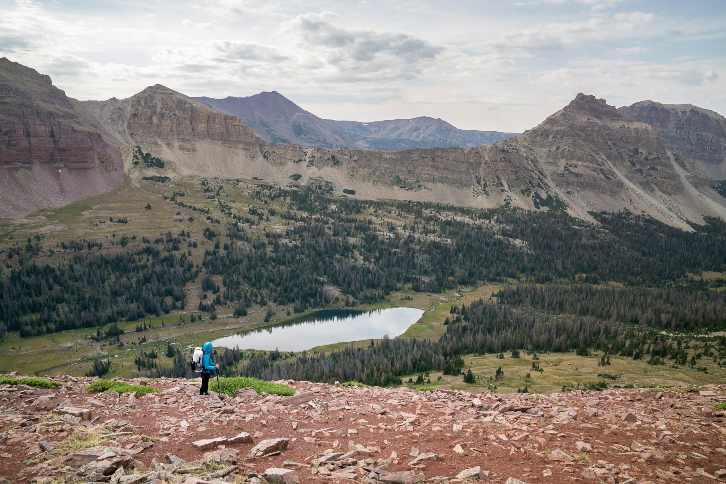
A few hours passed, and the storm relented. Our attention turned 90 degrees to the west, back to our original route on Allsop Pass. In stark contrast to Dead Horse Pass, this was a much shorter, gentler-looking route near the head of the basin. It offered fast and easy walking above treeline to the base of the pass, where we were surprised to find a fairly well worn but unofficial trail gracefully switchbacking up the slope.
On top, the character of the pass changed dramatically. Where the east face was grassy and gradual, the west face was sheer and rugged, carved by glacial processes that formed one of the most impressive cirques in the Uinta range. Among these vertical walls, there was only one obvious break in the cliffs. The couloir was maybe 20 feet wide, boxed in by crumbling walls of Uinta choss, with close to 200 vertical feet of descent before the cliffs give way to an apron of scree and boulder-hopping.
My wife took one look at the scene ahead and said, “No way!”
With our heavy multiday packs, it was hard to argue. It was an intimidating place. Unfortunately, there was only one other option, and it was more tedious and time consuming. It meant traversing the shoulder of the ridge a half-mile to the north, and finding a very steep and loose scree scramble down nearly 800 feet. Still loose, still steep, and even longer than the couloir. But it felt less intense, so our decision was made.
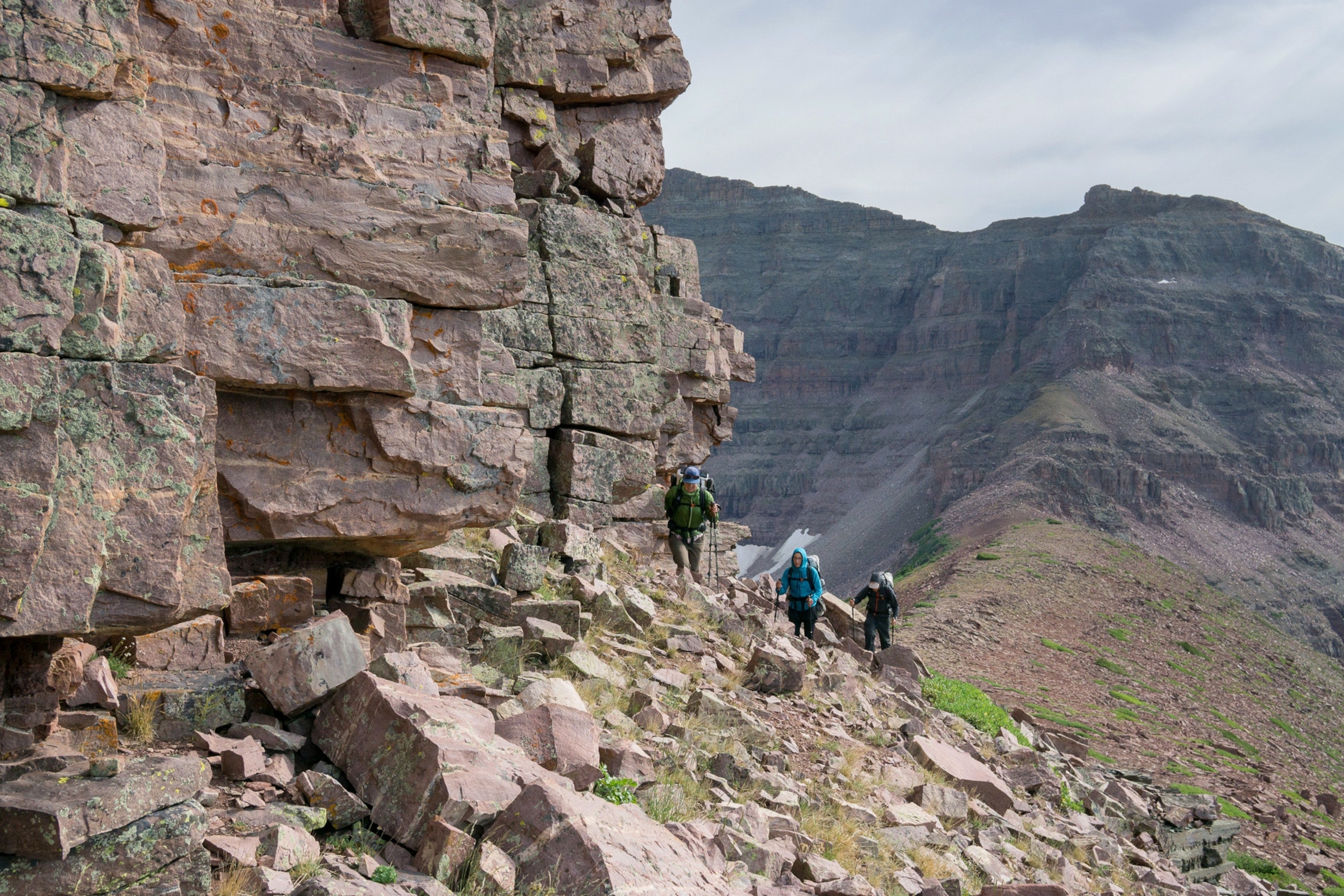
Along the ridge, the micro-route finding was surprisingly complex. Cairns appeared occasionally, some that actually seemed to lead us to the cliffs prematurely, but often they led nowhere.
Simultaneously, a few hundred vertical feet below us, but completely invisible from our vantage point, the family from Coalville was finding their way up to the bottom of the couloir. Their route was somewhat unconventional, and they opted to traverse closer to the base of the cliffs rather than going straight up the debris apron. From that perspective, they were able to see something in the distance, partially obscured by fallen rock from the cliffs above. It was Robinson’s red backpack.
In retrospect, it’s easy to wonder how someone could be so close, yet so far. Allsop is a relatively popular destination; almost every weekend in the summer there are groups camping at the lake. In 2011, my wife and I actually camped less than half a mile from the site where the remains were found, just 10 days after he was reported missing.
But it also illustrates just how vast a place like the High Uinta Wilderness truly is. The route Robinson outlined in his itinerary had him starting at Chepeta Lake and ending at Hayden Pass—more than 60 miles, essentially bisecting 450,000 total acres of wilderness. Much of the original search focused on the Highline trail and Yellowstone drainages, where he was last seen. The Yellowstone River is 15 miles away as the crow flies, closer to 25 miles hiking, with four significant passes to navigate (Tungsten, Porcupine, Red Knob, and Allsop). Allsop Pass is less than one mile from the Highline, but with such limited information, it must have seemed a very unlikely place to search.
In addition, the area below the cliffs was very rugged terrain, and would be very difficult to locate from the air. It would have taken someone passing very close to his final location to see him—and that was what finally led to his discovery.
I can’t say why or how Robinson found his way onto Allsop Pass, or ultimately what happened. But I can say this: I empathize with him. Any number of things could have led him that direction, and I would understand. After all, some of the decisions he made were likely the ones we, my hiking partners and I, had just faced.