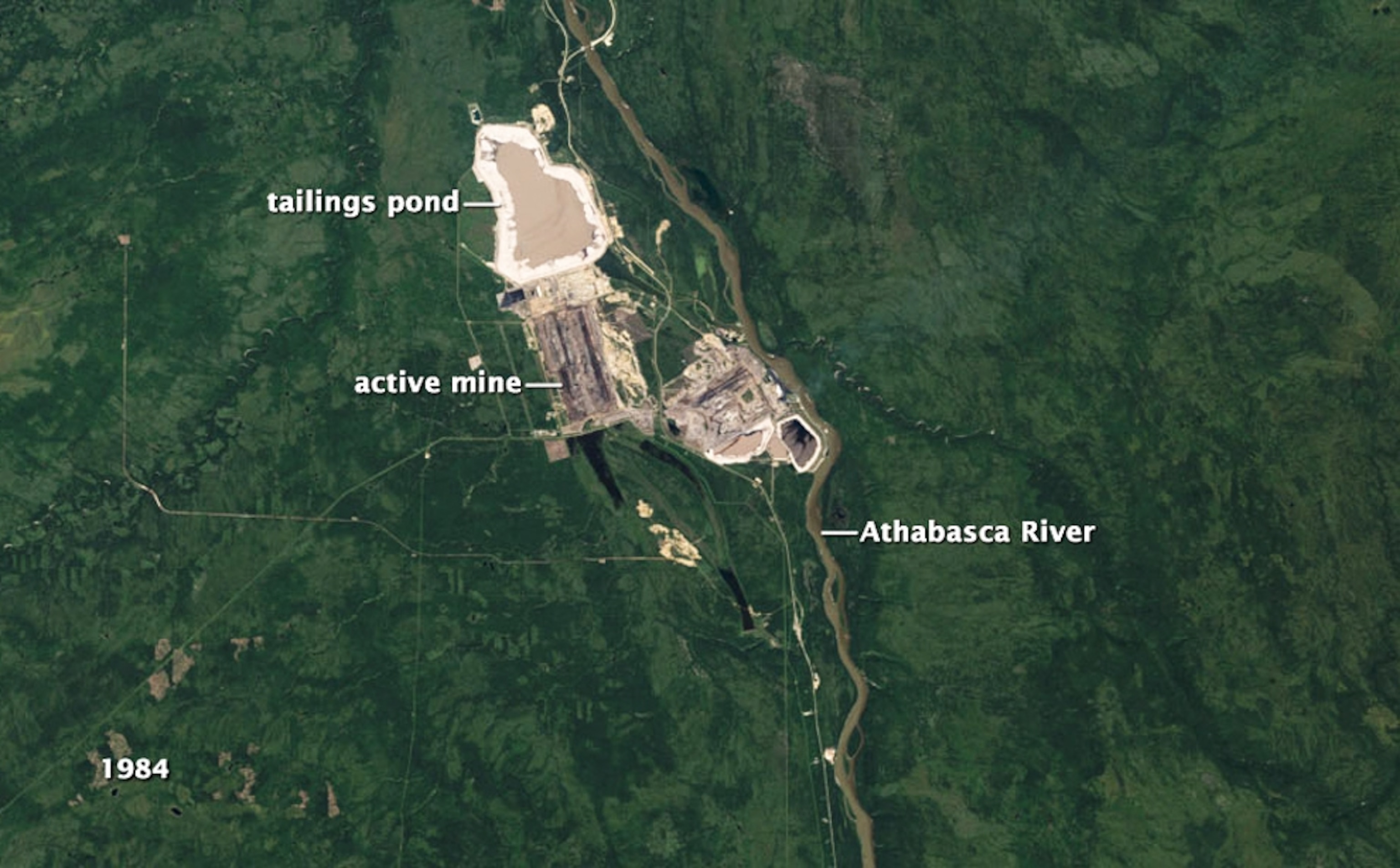
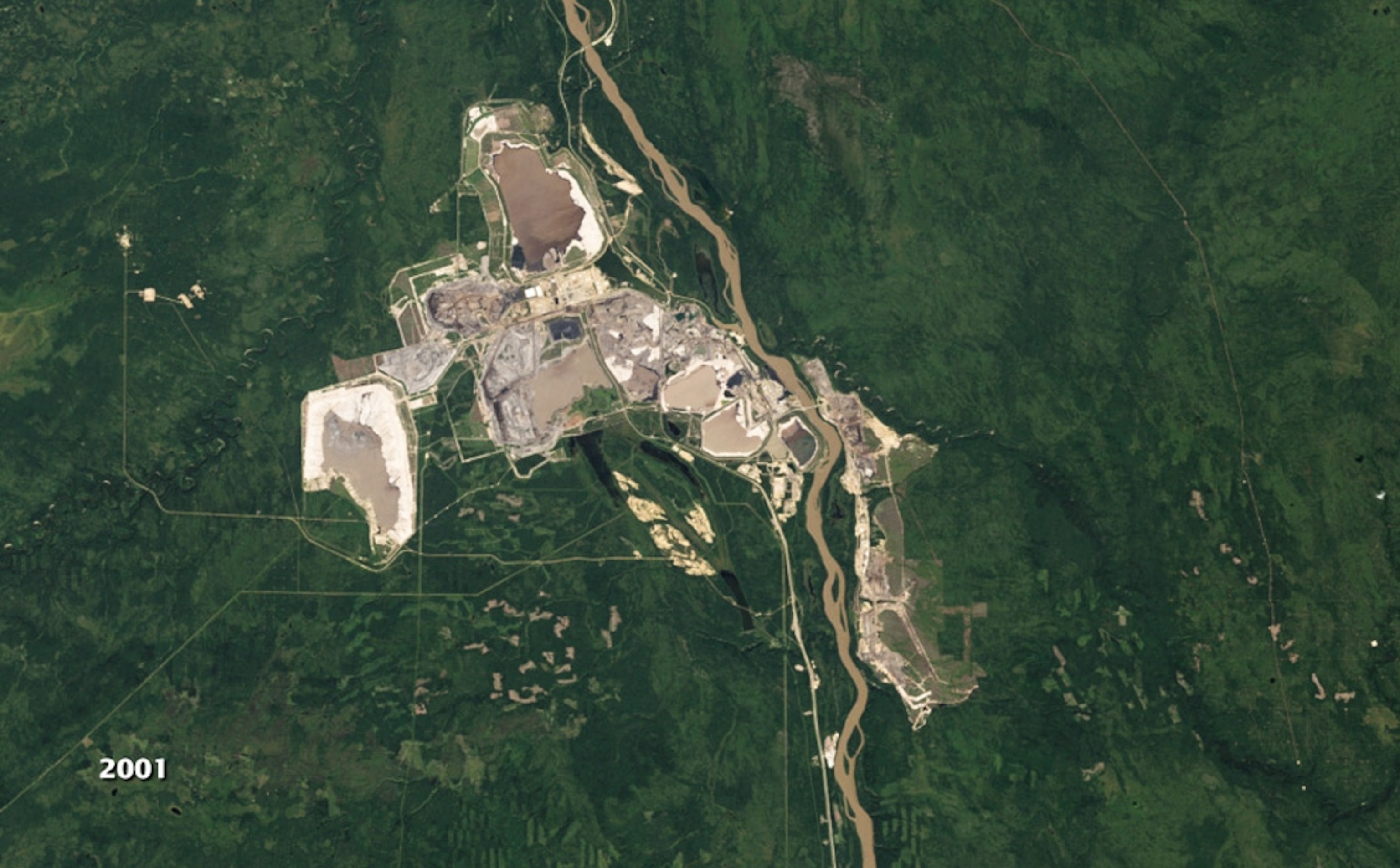
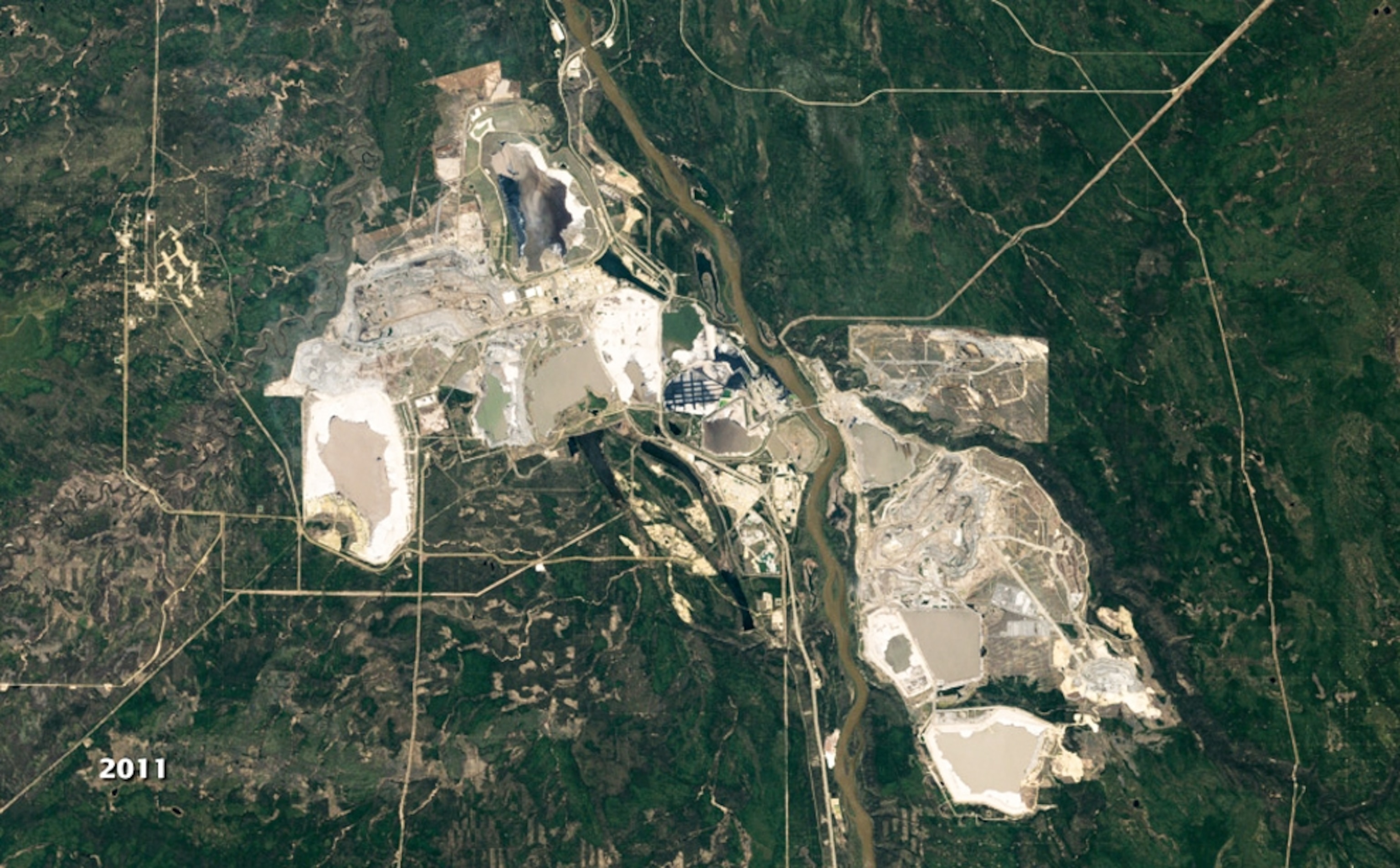
A Beginning by the RiverThis bird's-eye view shows the mine that launched Canada's oil sands industry on the banks of the Athabasca River.
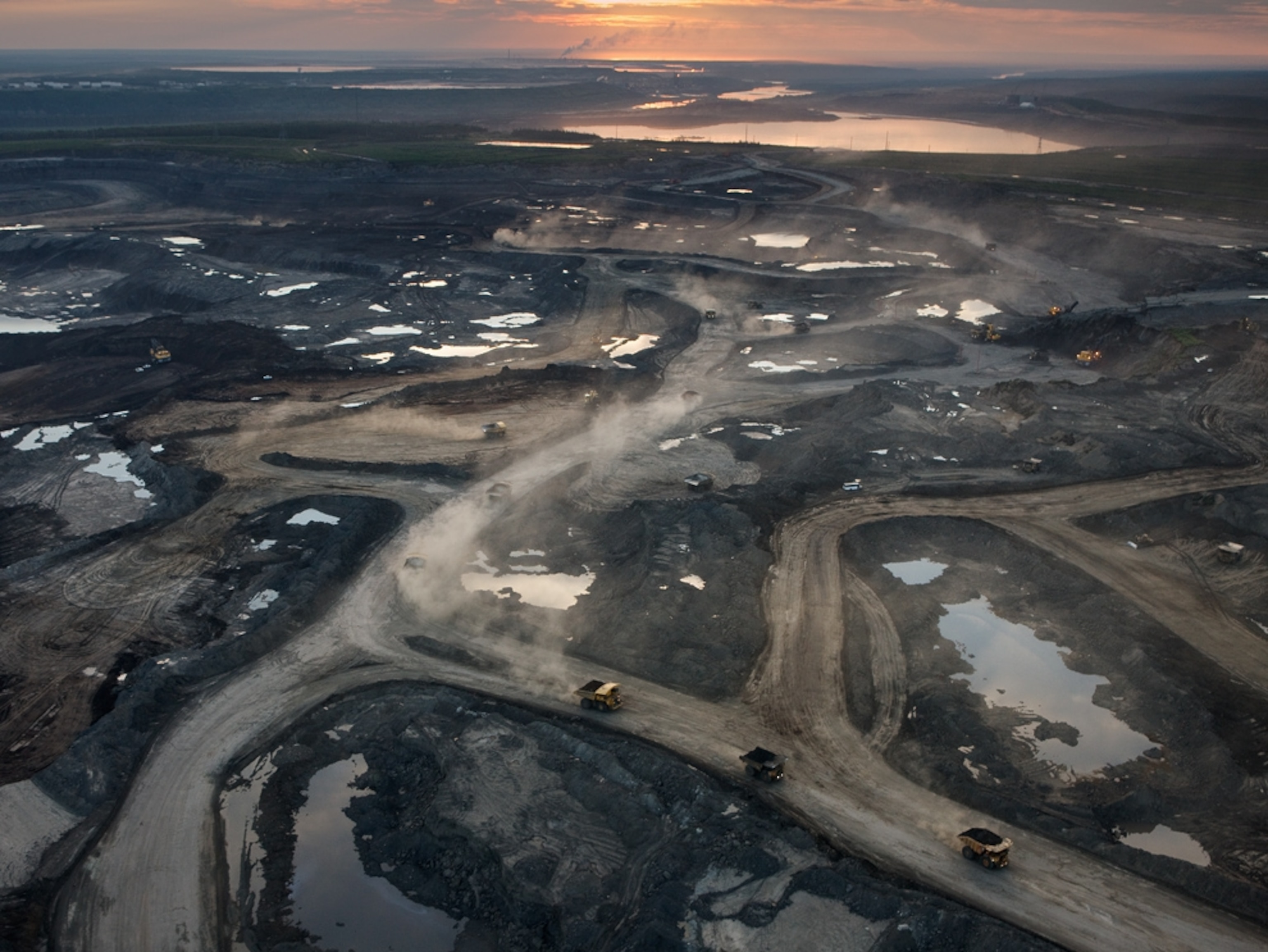
By the time this image was taken in 1984, the company now known as Suncor Energy had been operating for 17 years here at Fort McMurray (map), in the cold, remote, northern reaches of Alberta. When the site opened in 1967, Alberta Premier Ernest Manning called it a "red letter day" for North America. "No other event in Canada's centennial year is more important or significant," he said. Today, the Canadian oil sands, also called tar sands, are recognized as one of the largest reservoirs of petroleum in the world. But extracting the resource from this unique geological formation is costly-both economically, and environmentally. It takes a great deal of labor, energy, and water to squeeze the thick, sticky bitumen from the ancient mix of sand, clay and water. Only the surging oil prices of the past decade have made the oil sands business feasible.
Controversy now abounds over efforts to build gateways for bringing more of this oil to market, especially over TransCanada's proposed Keystone XL pipeline to the refining centers of Texas.
(Related: "The Keystone XL Pipeline: A Tar Sands Folly?" and "Yellowstone Spill Shadows Efforts on the Keystone XL")
Now, for the first time, it is possible to step back through history and see the expansion of the oil sands business, thanks to the Landsat Earth-observing satellites managed by NASA and the U.S. Geological Survey.
The first of a series of images released last week by NASA's Goddard Space Flight Center shows the area around the Athabasca River long before the great oil sands boom was under way. Even then, a large storage pond of toxic mine tailings was already visible. Beneath them, the first mine lay closest to the river, with the second active mine just to its left.
—Brian HandwerkThis story is part of a special series that explores energy issues. For more, visit The Great Energy Challenge.
Image courtesy Robert Simmon, NASA/Landsat/USGS
Pictures: Satellite Views of Canada's Oil Sands Over Time
The evolution of Canada's oil sands industry over three decades is visible from space, as newly released NASA satellite images show its growing mark by the Athabasca River.
Published December 23, 2011