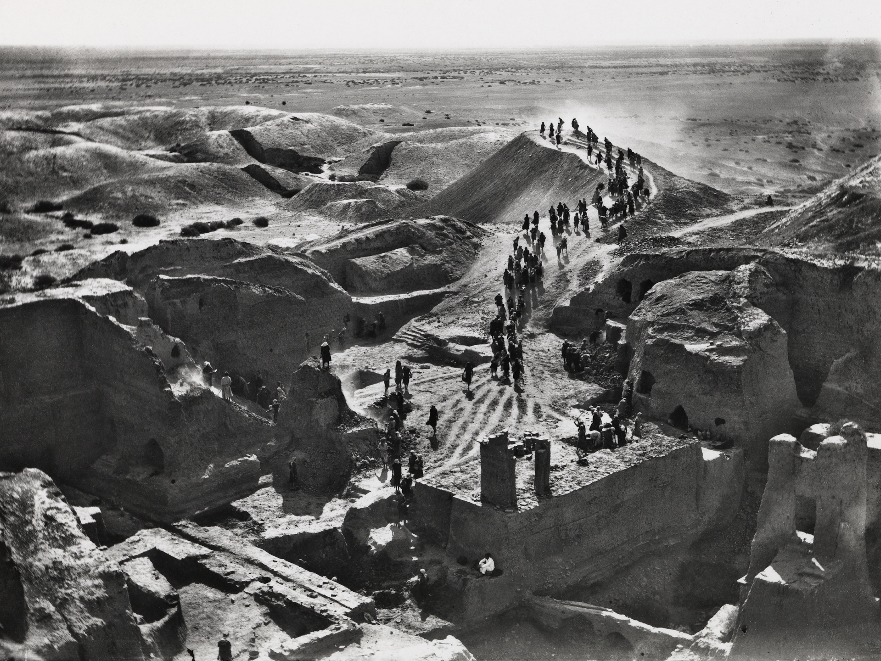
100 Years of National Geographic Maps: The Art and Science of Where
Since 1915, National Geographic cartographers have charted earth, seas, and skies in maps capable of evoking dreams.
The coordinates of the office of The Geographer of the National Geographic Society are 38° 54' 18" N, 77° 2' 12" W. You might say that Juan José Valdés, who currently holds that title, knows exactly where he stands.
But the scope of National Geographic's cartographic department, which celebrates its hundredth anniversary this year, encompasses not just those bearings, but also those of every mountain, river, lake, road, reef, fjord, island, inlet, glacier, ocean, planet, galaxy, and solar system—in short, any physical feature on land, on sea, or in space.
At this writing (the count is obsolete as soon as it is tallied), National Geographic cartographers have produced 438 supplement maps, ten world atlases, dozens of globes, about 3,000 maps for the magazine, and many maps in digital form.
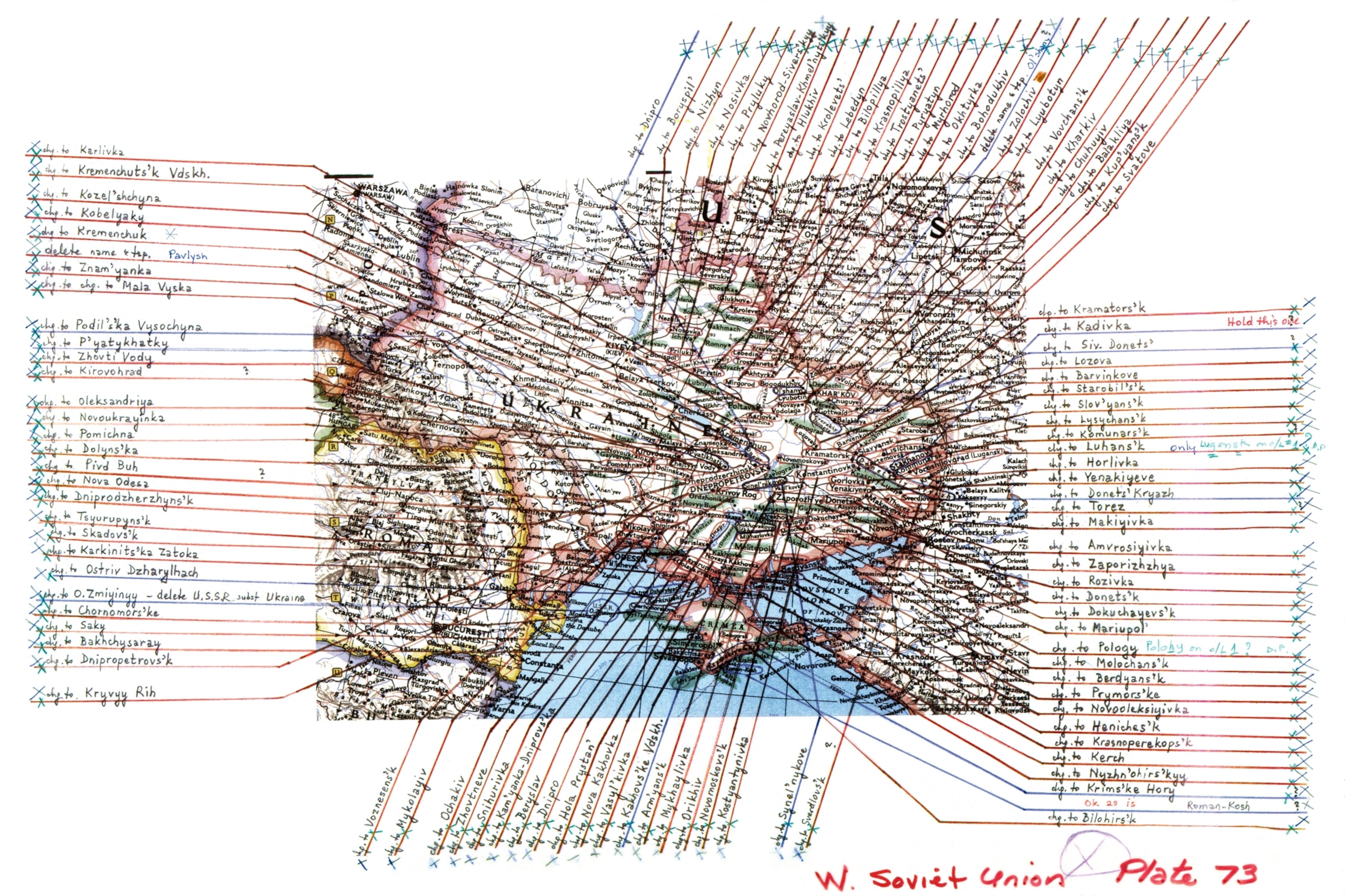

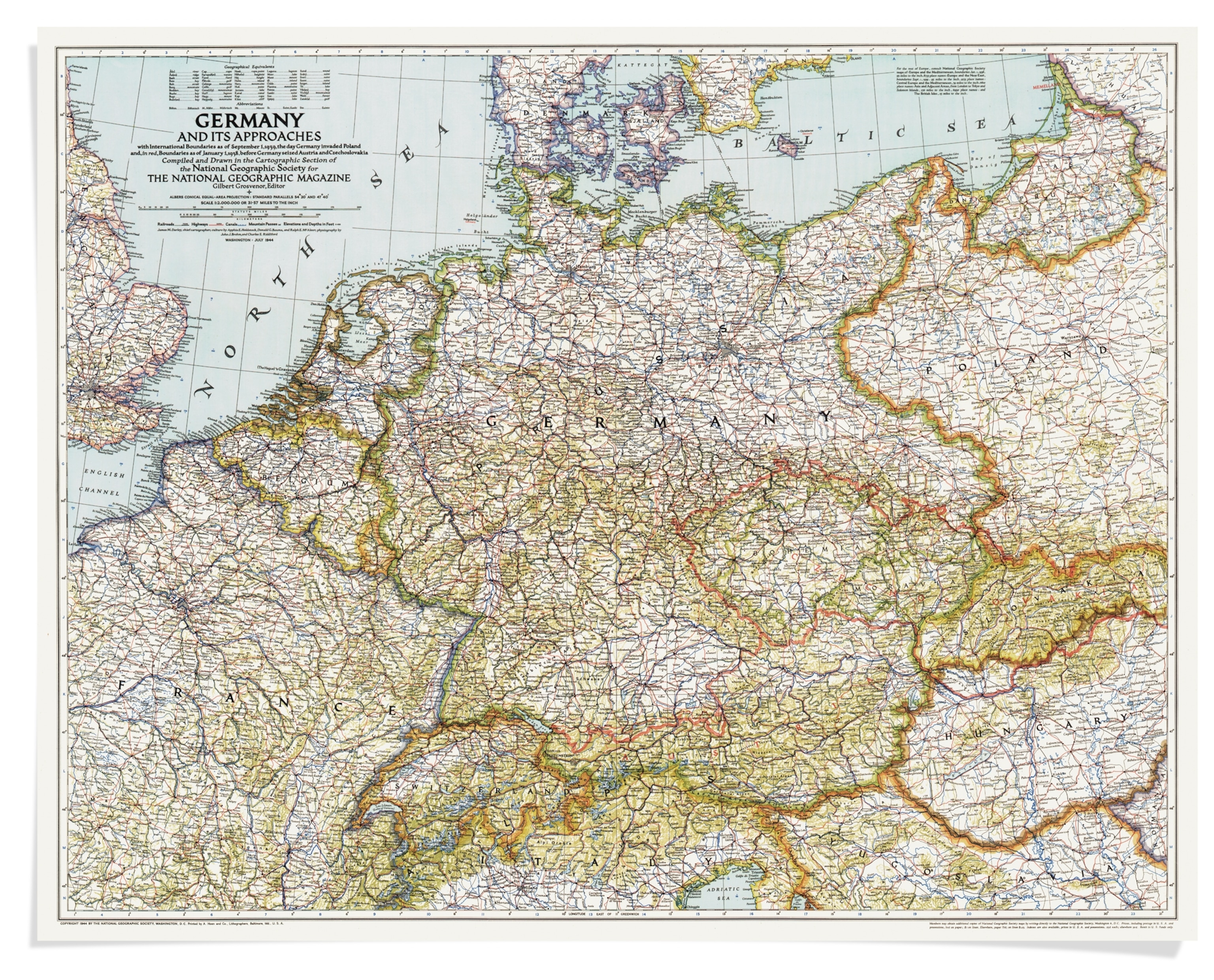
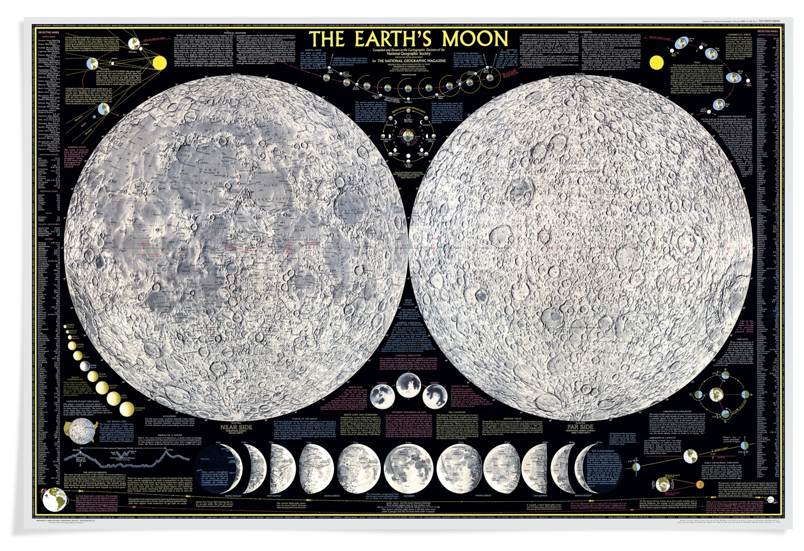
What distinguishes a National Geographic map? Accuracy and attention to detail, certainly. The 1969 map of the moon pinpointed the landing sites of all but one of the 23 unmanned spacecraft that had touched down on the lunar surface (the crash site of the Orbiter 4 was unknown).
But the hallmark of the division, founded by the magazine's first full-time editor, Gilbert H. Grosvenor, is and always will be innovation. The first chief cartographer, Albert H. Bumstead (chief, 1915-1939), set the pace by inventing a sun compass used by Richard E. Byrd on his 1926 flight to the North Pole (magnetic compasses are not polar friendly), as well as the eponymous Bumstead photocomposing machine, which replaced labor-intensive hand-lettering with photographically reproduced type.
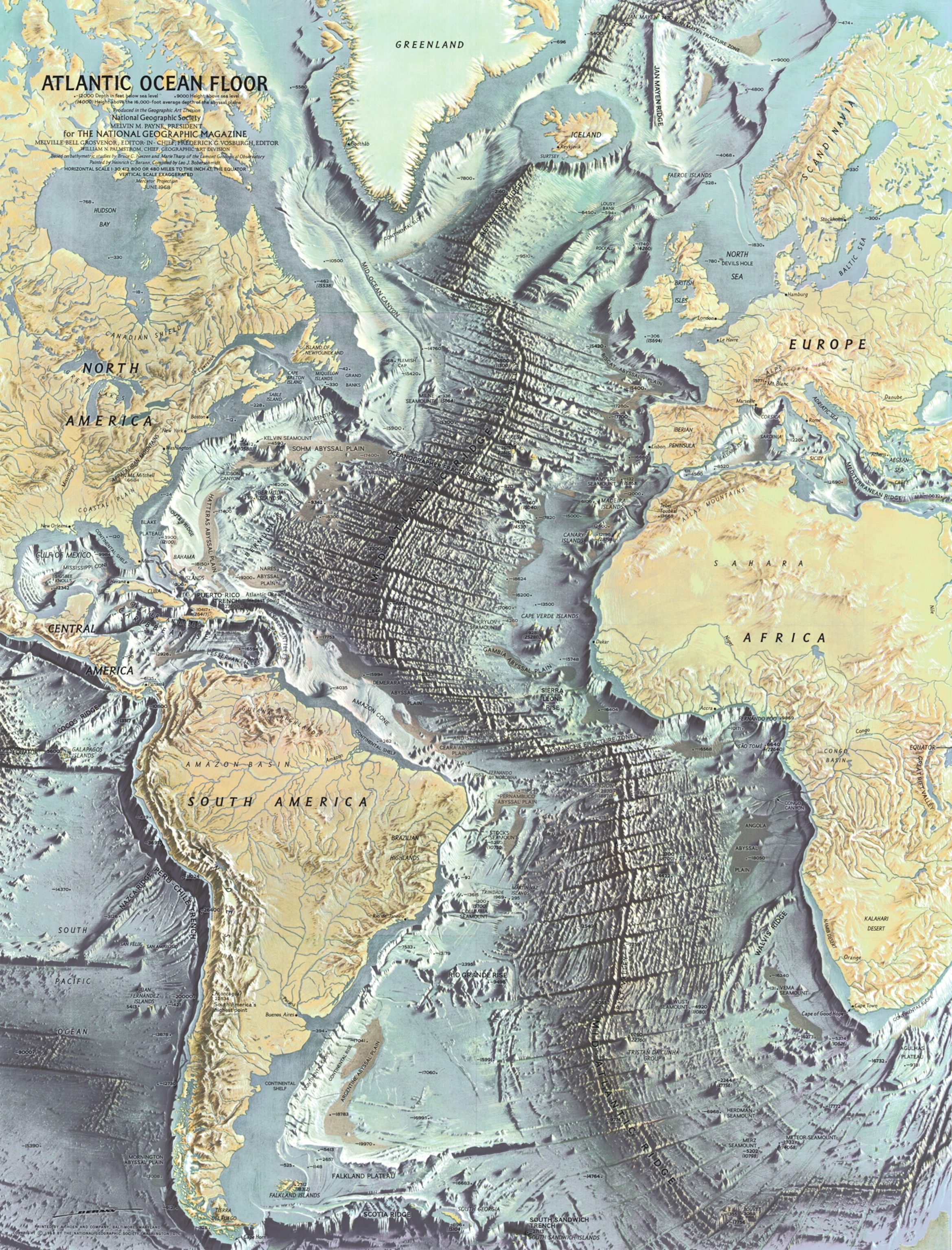

To ensure readability, Charles E. Riddiford, a staff cartographer from 1923 to 1959, designed elegant map type fonts that were patented by the Society and are still in use today.
In 1957 the division contributed its inventiveness to the space program with a small, handheld satellite tracker. The creator of that device, Wellman Chamberlin, also dreamed up the geometer, a kind of plastic "thinking cap" that allowed distance to be measured on a globe.
As the pace of the world accelerated, so did the pace of cartography. John B. Garver (chief, 1982-1991) presided over the installation of a Scitex computer system so large it required its own climate-controlled room; it enhanced accuracy and streamlined the map production process. Allen Carroll (chief, 1998-2010) launched the National Geographic MapMachine, NGS's first interactive atlas on the Internet, in 1999.
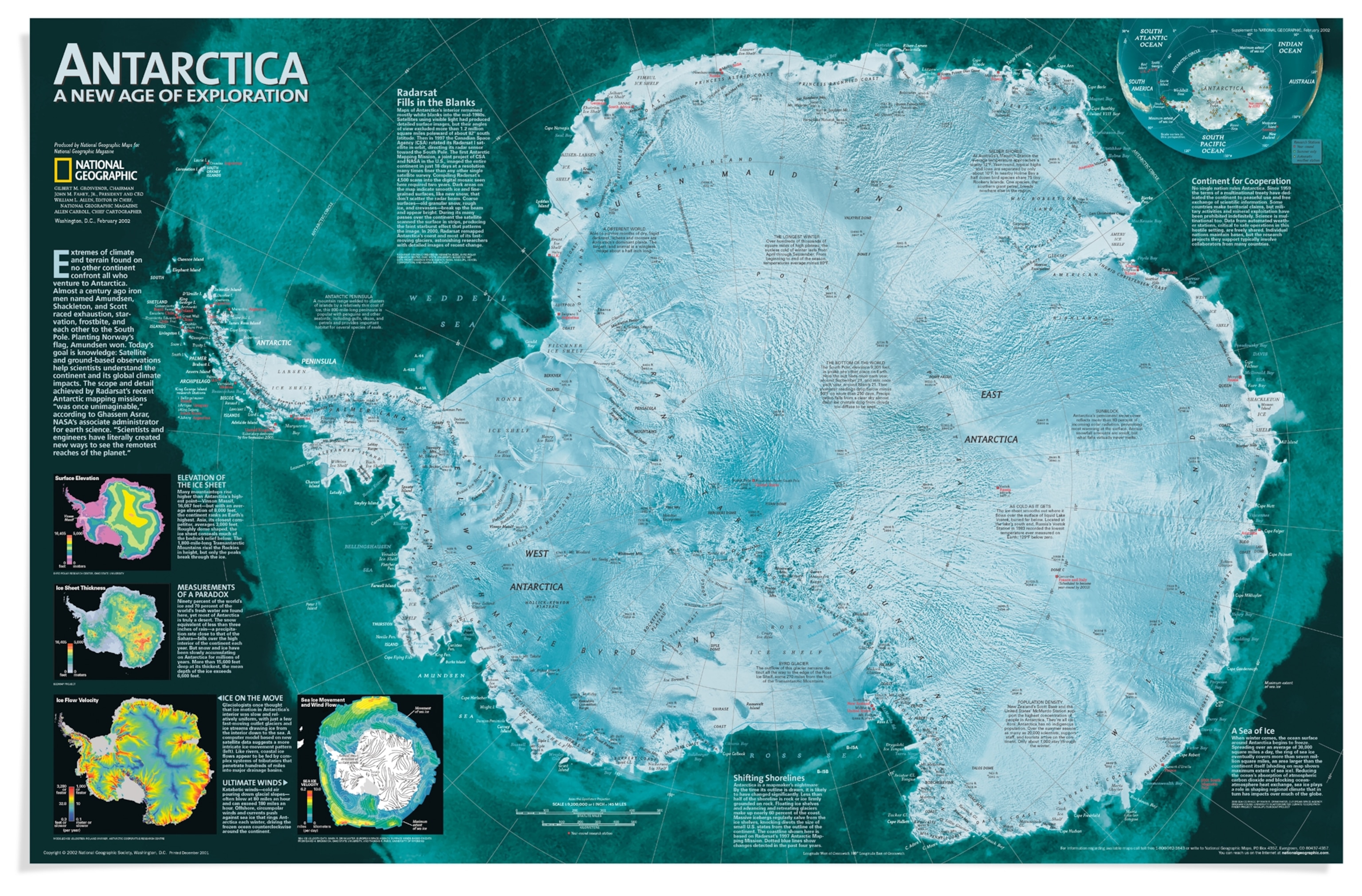
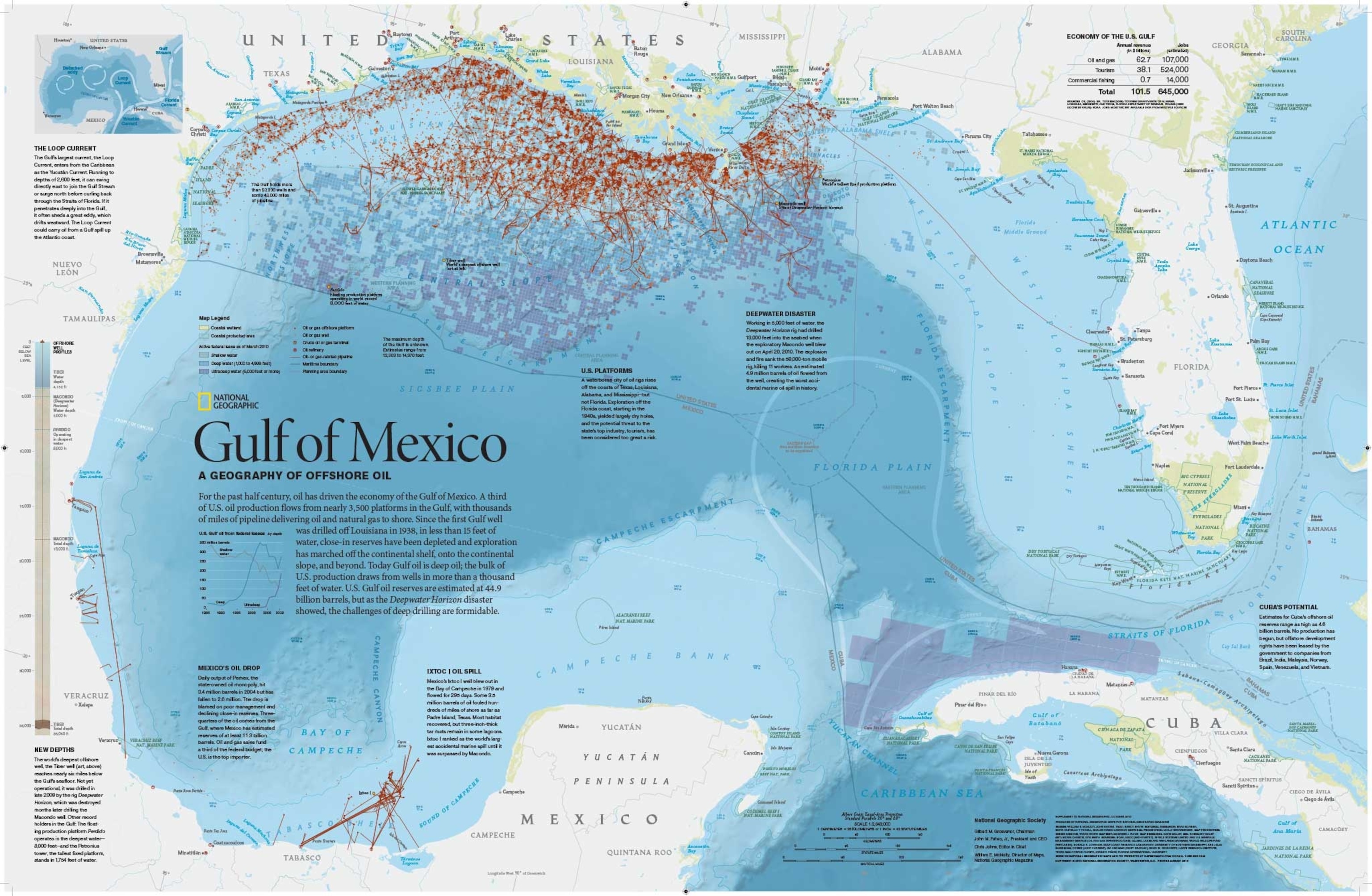
In the past, a map would take months to produce. In the fast-forward digital age, turnaround time for some maps that run on National Geographic's website can be a matter of hours, but accuracy still matters.
What's ahead as the division turns the corner to its next hundred years?
"Crowdsourced cartography will help people find and map more objects," Valdés says. "As more devices are connected to the Internet, users will be able to create more personalized maps. Wearable technologies, such as smart watches, will allow an increased capture of geo-data.
"Of course," he adds, "Society cartographers will still be needed to collect and analyze that data."
Follow Cathy Newman on Twitter.


