Vanuatu Puts Drones in the Sky to See Cyclone Damage
After the small island nation was devastated by Cyclone Pam, airborne cameras provide vital information for relief efforts.
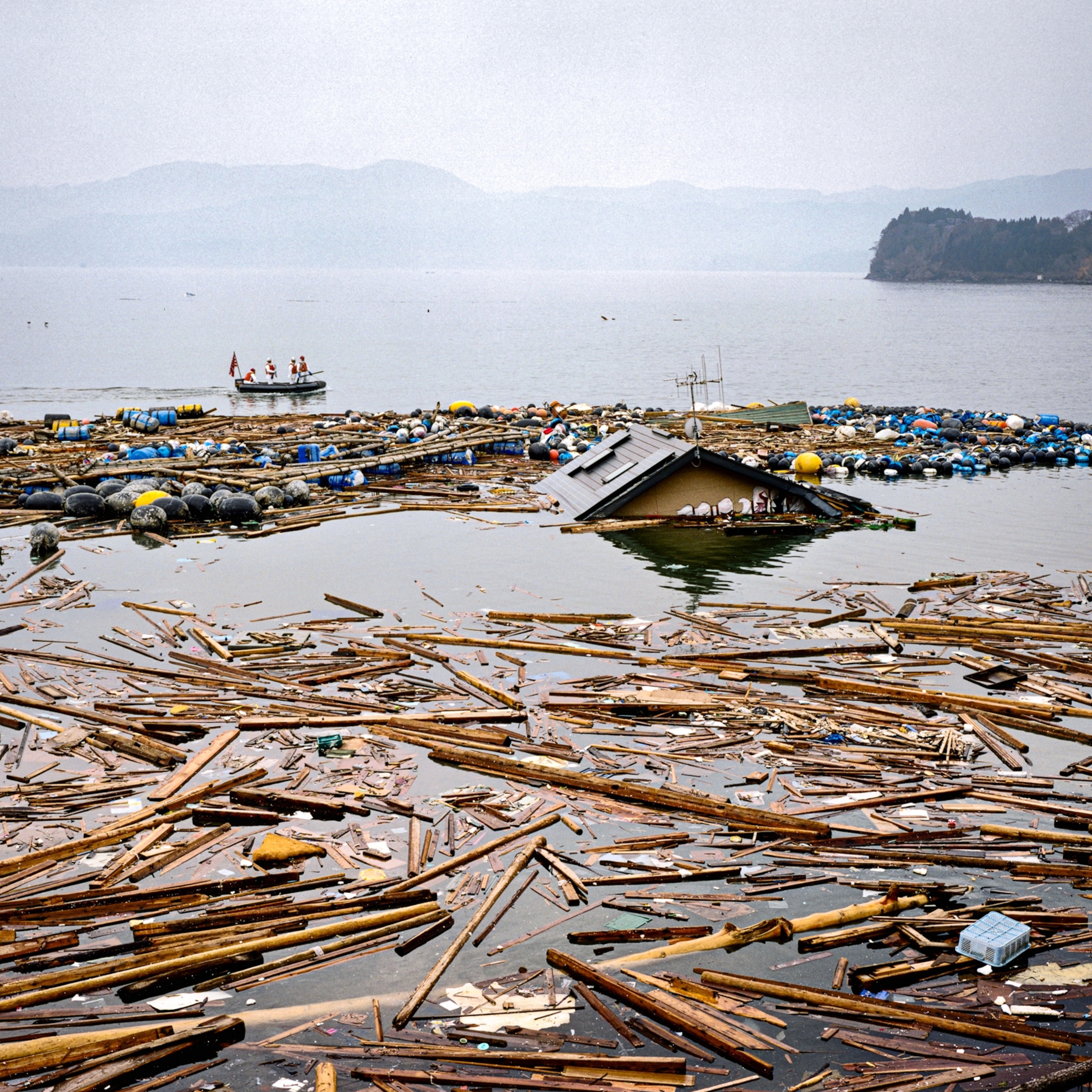
Cyclone Pam was one of the worst disasters to hit the small Pacific island nation of Vanuatu in recent memory. Thousands of buildings and trees were flattened in the March storm, leaving 75,000 people without homes and at least 15 dead.
Vanuatu is a poor nation, ranking as one of the world’s least developed countries. On many of its 60 inhabited islands, people’s homes, crops, and water supplies have been wiped out.
Over the past few weeks, National Geographic Emerging Explorer Patrick Meier has been working in the country on assessing the post-disaster damage, as an adviser to the World Bank and at the invite of the local government. An expert “crisis mapper,” Meier is director of social innovation at the Qatar Computing Research Institute, where he builds data sets of impacted areas that guide relief efforts by the United Nations, U.S. military, World Health Organization, Amnesty International, and others.
This month, Meier is also assisting with a pioneering effort to use unmanned aerial vehicles (UAVs), or drones, to improve the detail of those crisis maps. He launched the UAViators Humanitarian UAV Network (a program of the Qatar Computing Research Institute) following Typhoon Haiyan in the Philippines in 2013, which is described in his new book Digital Humanitarians. He says the effort in Vanuatu is the largest project he has worked on to date. (Learn how drones can help wildlife.)
National Geographic spoke with Meier about his ongoing work in Vanuatu:
What exactly are the drones looking for?
One thing we can see is which houses have been damaged beyond repair versus those that are still repairable, which helps determine funding and recovery efforts. Previously, when officials only had a bird’s eye view from an airplane or satellite, a lot of the damage was hidden. But UAVs can provide imagery at oblique angles, so we can see walls and tell if they have been damaged.
We're also looking at doing an impact analysis on local agriculture, which is really important to people there but has taken a big hit from the storm. Some people are really struggling. We can help measure how much of the crop has been destroyed and therefore how much food will need to be supplied through other means.
UAVs have other humanitarian uses as well, such as looking to see if wells are still working.
How do you make sense of what the drones see?
We use two strategies. We have experts look at them and we are using crowdsourcing. We are posting the images online, where thousands of volunteers around the world are helping us analyze them. That’s a lot faster than using a few experts. We can do good quality control by showing the same image to 10 people. People don't have to have any prior experience to help out.
What do the drones look like?
The World Bank has contracted two teams. A team from Australia is using two Indago quadcopters [with four helicopter-style rotors], which are sleek black UAVs 32 inches (81 centimeters) across. A team from New Zealand is using three Alliance hexacopters [with six].
The UAVs are all pre-programmed for their routes, so they are basically flying robots. There is also a third team from the Secretariat of the Pacific Community, a regional group in charge of disaster response. They've been experimenting with UAVs and have a larger, fixed wing Trimble to scan larger areas.
And what are the drones finding?
Some areas have been really hit hard. Port Vila [the capital and largest city of Vanuatu] largely lucked out in terms of damage, but there’s more devastation in some of the outlying islands.
How will the Vanuatu government and the World Bank use this information?
The higher resolution that can be provided for an analysis, the more accurate the figures on how much it’s going to cost to rebuild. With UAVs we can get resolution at the household level, which is a game changer from previous efforts using satellites.
The higher resolution can also help rebuilding efforts get more targeted. No one has infinite funding, so that can really help officials prioritize who needs the most help. (Learn about other uses for drones.)
The project has faced some challenges, from weather to ash from a nearby volcano, and even kids with slingshots. How have these been overcome?
This has certainly been one of the most challenging UAV missions I’ve been involved with. Connectivity continues to be a serious challenge. And the weather has not been cooperative. Pouring rain has hampered image quality.
The volcano is one of the biggest tourist attractions on the island. It's active but it has turned out to be not as much as an issue as we thought because the ash is fairly stable.
At first, some locals told us that their kids are aces with slingshots and they were concerned that our technology would be at risk. But that's where it’s really important to communicate with local communities ahead of time. (See how drones were sacrificed to film inside a volcano.)
In the past you have said part of your missions involve training local people to use drones. How is this being done in Vanuatu?
We have attracted crowds, especially of kids, who are really interested in what we are doing. So we spend some time showing them how the controls work and the resulting pictures. We are also planning on doing a hands-on training session with local disaster management officials. (See how drones can fight illegal fishing.)
You’ve said your ultimate goal is to overlay the drone images onto a crisis map. Can you explain how this will work?
We've seen over the past year that layering multiple types of data can really improve the usefulness of a map. At the request of the United Nations, we built a crisis map that shows destruction and problem areas on the ground from pictures that were posted on Instagram, Twitter, etc. Now, we want to overlay the analysis of the damage from our UAVs.
Next, we hope to overlay satellite imagery, relevant tweets, texts, news reports, and so on.
Correction: An earlier version of this story said Meier was a contractor for the World Bank. He is actually an adviser.


