Experts: Teen's 'Discovery' of Maya City is a Very Western Mistake
Why modern astronomical maps may not lead us to ancient sites.
Updated: May 18, 2016 (see below)
For gee-whiz value, the announcement has been hard to beat: A Canadian teenager discovers a lost Maya city without even stepping foot in the Central American jungle.
Unfortunately, this "discovery" appears to be the well-intentioned, albeit faulty, result of modern Western education colliding with an ancient civilization that saw the world in a very different way.
The idea of a map as we know it, as a scaled representation of geographic reality, is a modern Western concept.Anthony Aveni, archaeoastronomer
According to the original news report, 15-year-old William Gadoury correlated more than 20 Maya constellations against a map of known Maya cities. The cities lined up perfectly with the star map, with the exception of a "missing" settlement in a constellation that includes the sites of Calakmul and El Mirador.
Gadoury pinpointed the location of the potential site in Campeche, Mexico by using its corresponding star. An analysis of satellite imagery from the location, performed by Armand LaRocque, an honorary research associate at the University of New Brunswick, allegedly revealed a pyramid and dozens of buildings.
While LaRocque identified anomalies in the satellite imagery, he says he did not conclusively interpret them as man-made features and adds that additional study is required.
The "discovery" of the site, which Gadoury has named K’aak Chi, or "Mouth of Fire," has been subsequently dismissed by several scholars.
Gadoury has not responded to interview requests.

Imposing Western Maps on Maya Landscapes
To Anthony Aveni, an astronomer and anthropologist who is widely considered the "father of archaeoastronomy," trying to impose a one-to-one correspondence between a modern star map and a large number of ancient man-made features—whether it's Maya cities or the Nazca Lines— is simply an act of creative imagination.
"The idea of a map as we know it, as a scaled representation of geographic reality, is a modern Western concept," says Aveni, who adds that the cosmos is "certainly involved" in patterning how we build things on earth, but not to the degree of precision claimed by Gadoury.
In addition, while we know that the Maya recognized 13 zodiacal constellations, there are several different theories on what they represent and even how they're arranged, he adds.
"It's an interesting Western fantasy… we tend to look at these modern star maps and see things in the way we might see patterns in clouds," says Aveni, who cautions that he can't "close the door" on Gadoury's hypothesis until he sees the complete data.
The archaeoastronomist praises the teenager's imagination and initiative. "I think he's a very bright young man and an independent thinker. I hope he gets a college scholarship for his work."
Analyzing the Imagery
National Geographic Society grantee Francisco Estrada-Belli, who specializes in Maya archaeology and remote sensing, notes that while satellite imagery can show anomalies in the plant canopy, only a remote-sensing tool like LiDAR can "see" through the vegetation to give researchers a better idea of what's on the ground.
I am a firm believer that there are hundreds of Maya sites still to be discovered, and they're all over the place.Francisco Estrada-Belli, archaeologist
"If [Gadoury] can have access to LiDAR images, he can pretty much rule out certain areas, as well as confirm the location of even small Maya sites," Estrada observes.
Estrada adds that it's also completely possible that Gadoury may have located a Maya settlement by sheer coincidence.
"I am a firm believer that there are hundreds of Maya sites still to be discovered, and they're all over the place," he says. "The chances of putting your finger on one point on the map of the region [and finding a Maya settlement] are very good."
A Science-Fair Project Turned Media Sensation
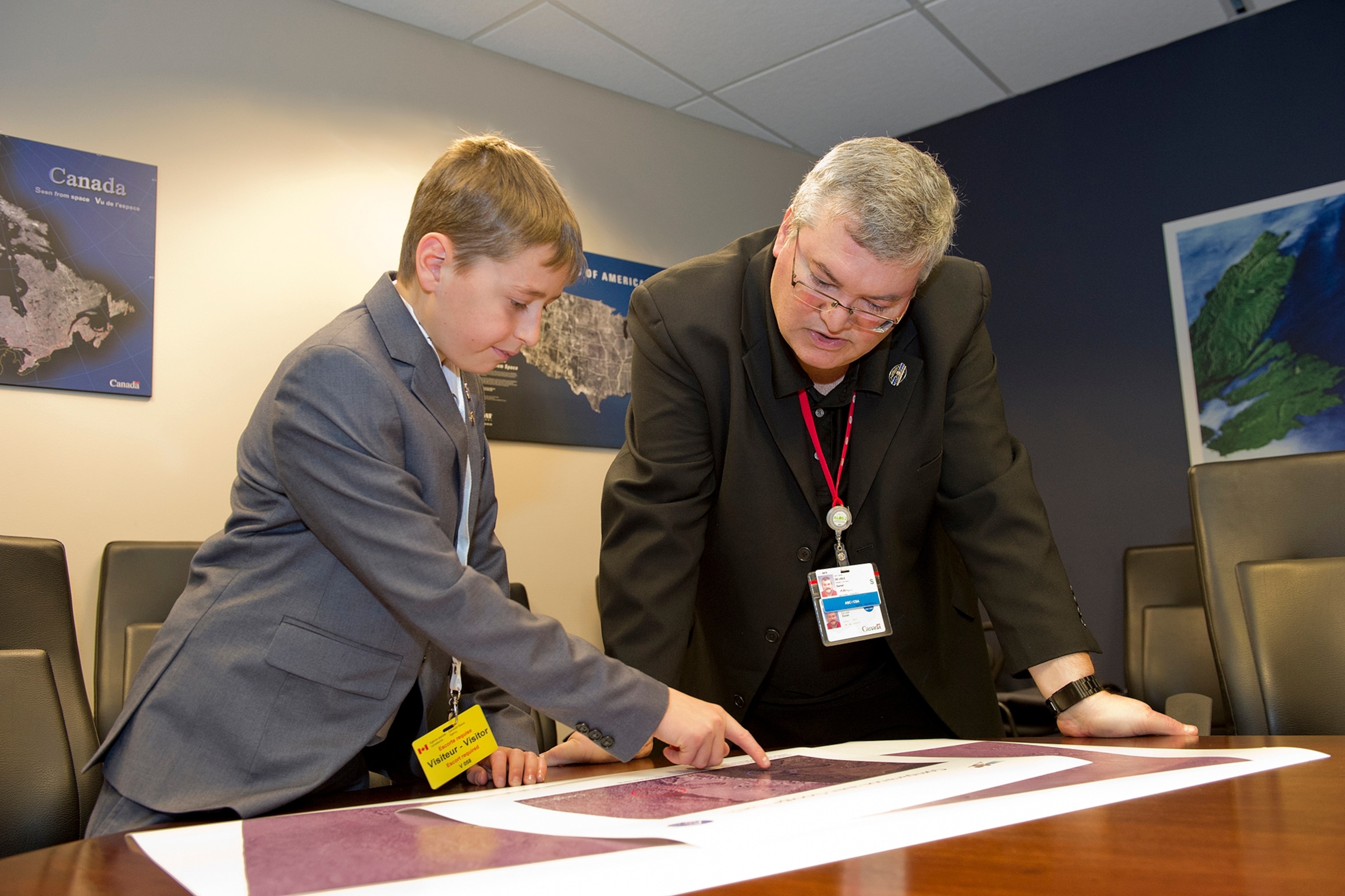
Gadoury initially presented his findings at a scientific conference in 2014, after taking first prize at a local science fair for the project, titled "Born of Heaven." His presentation caught the attention of the Canadian Space Agency (CSA), which provided him with satellite imagery.
"We realized that this kid needed a bit of support, so CSA provided some satellite imagery for him. The work is entirely his," says CSA project manager Daniel De Lisle.
"He's only 15, but he's got a bright future ahead of him," says De Lisle. "One day I may work for him."
Estrada also praises Gadoury's efforts. "He has to be applauded for coming up with the theory and applying it using these cutting-edge technologies that, as of now, are the most promising for mapping these sites in remote areas."
"I want to offer him an invitation to come to the jungle with me, and we can go find Maya sites together."
We'll let you know if the teenager takes the archaeologist up on his offer.
This article has been updated to clarify LaRocque's role in the satellite imagery analysis. In addition, the initial image provided by the CSA that was published in the article does not represent an anomaly that may be associated with a potential Maya settlement, according to LaRocque, who provided the replacement image.
Follow Kristin Romey on Twitter.


