See the Strange, Beautiful Landscapes Revealed by Lasers
Technology unearths a world hidden beneath the lush forests of the Pacific Northwest.
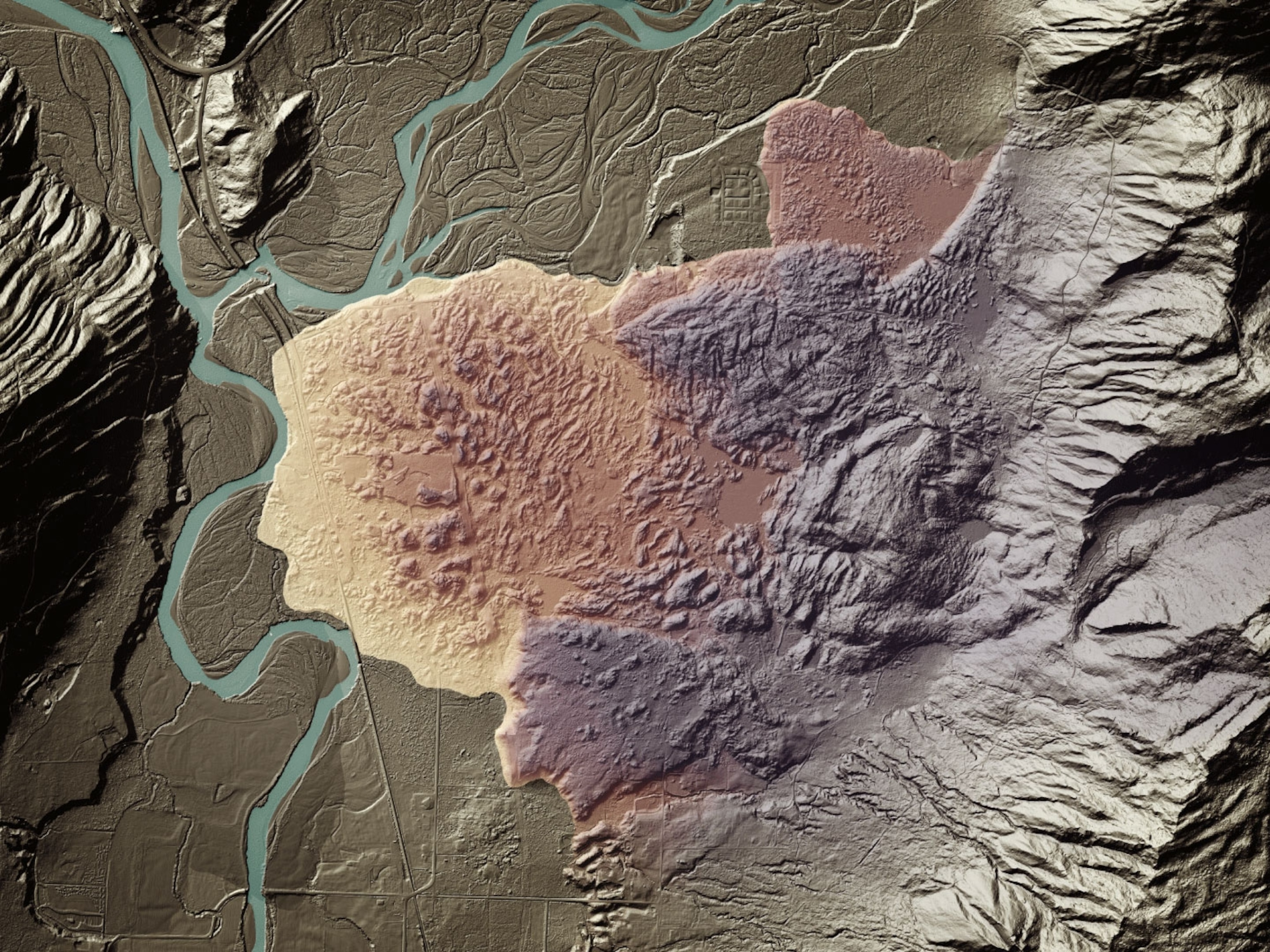
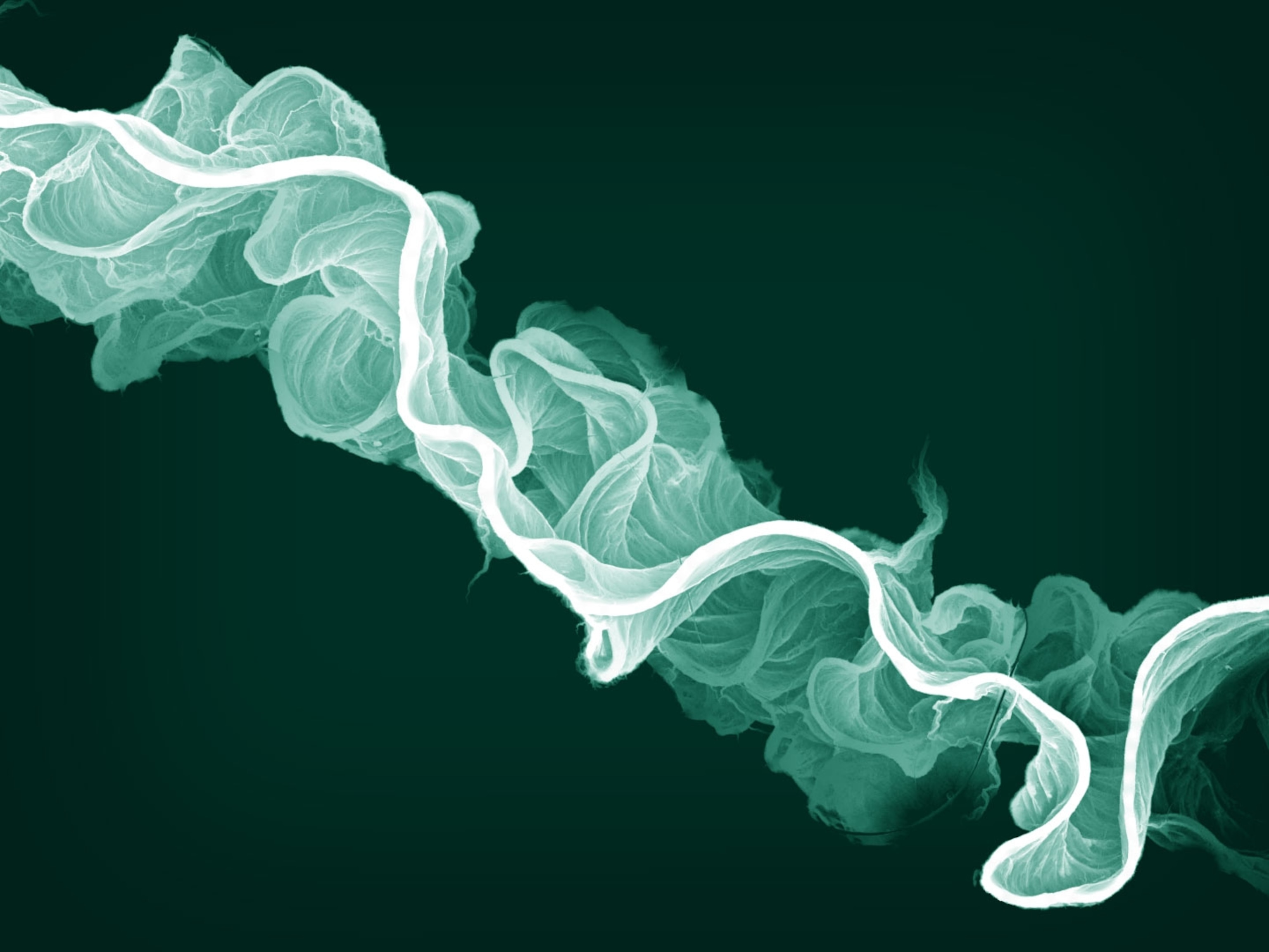
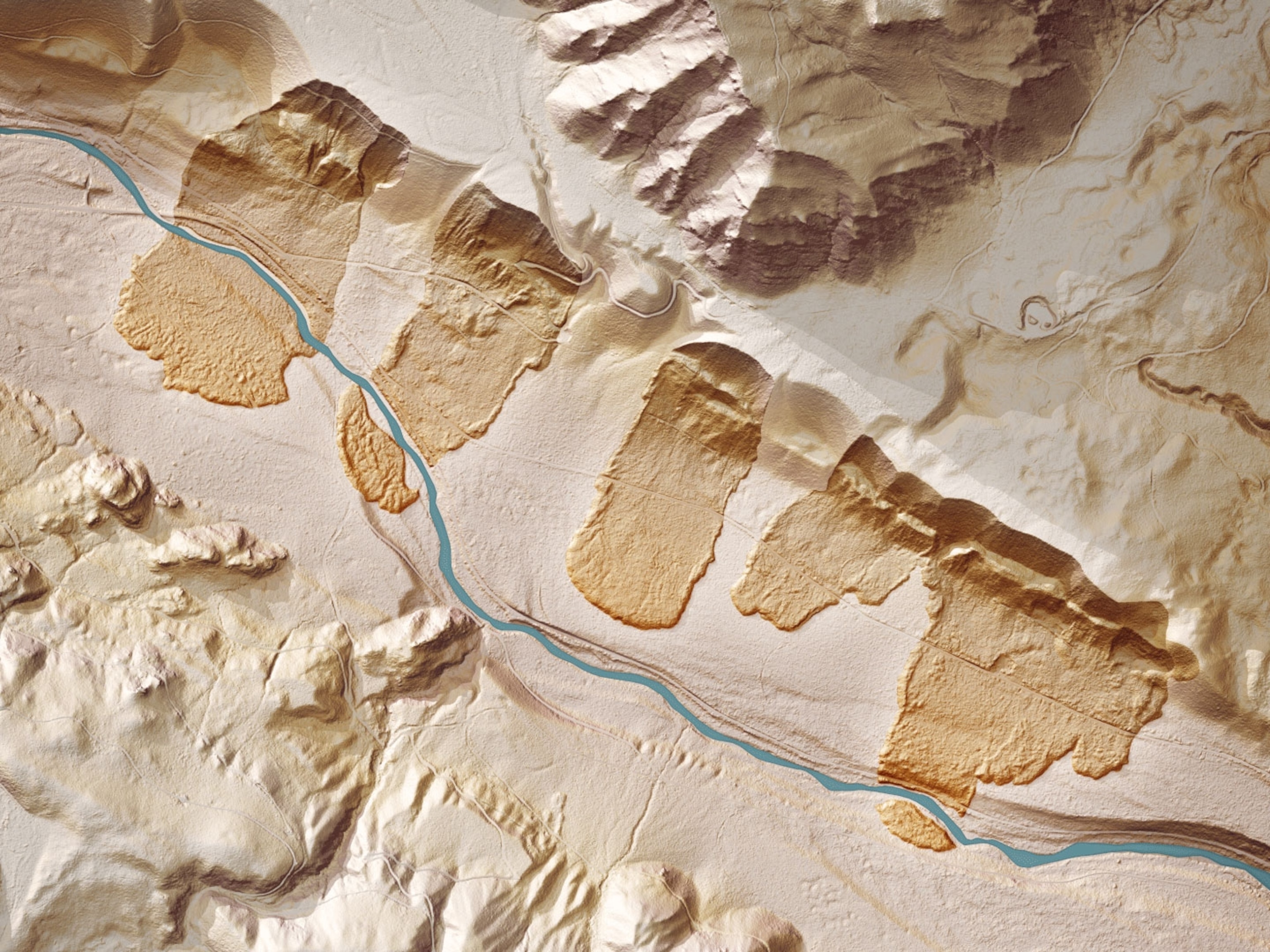
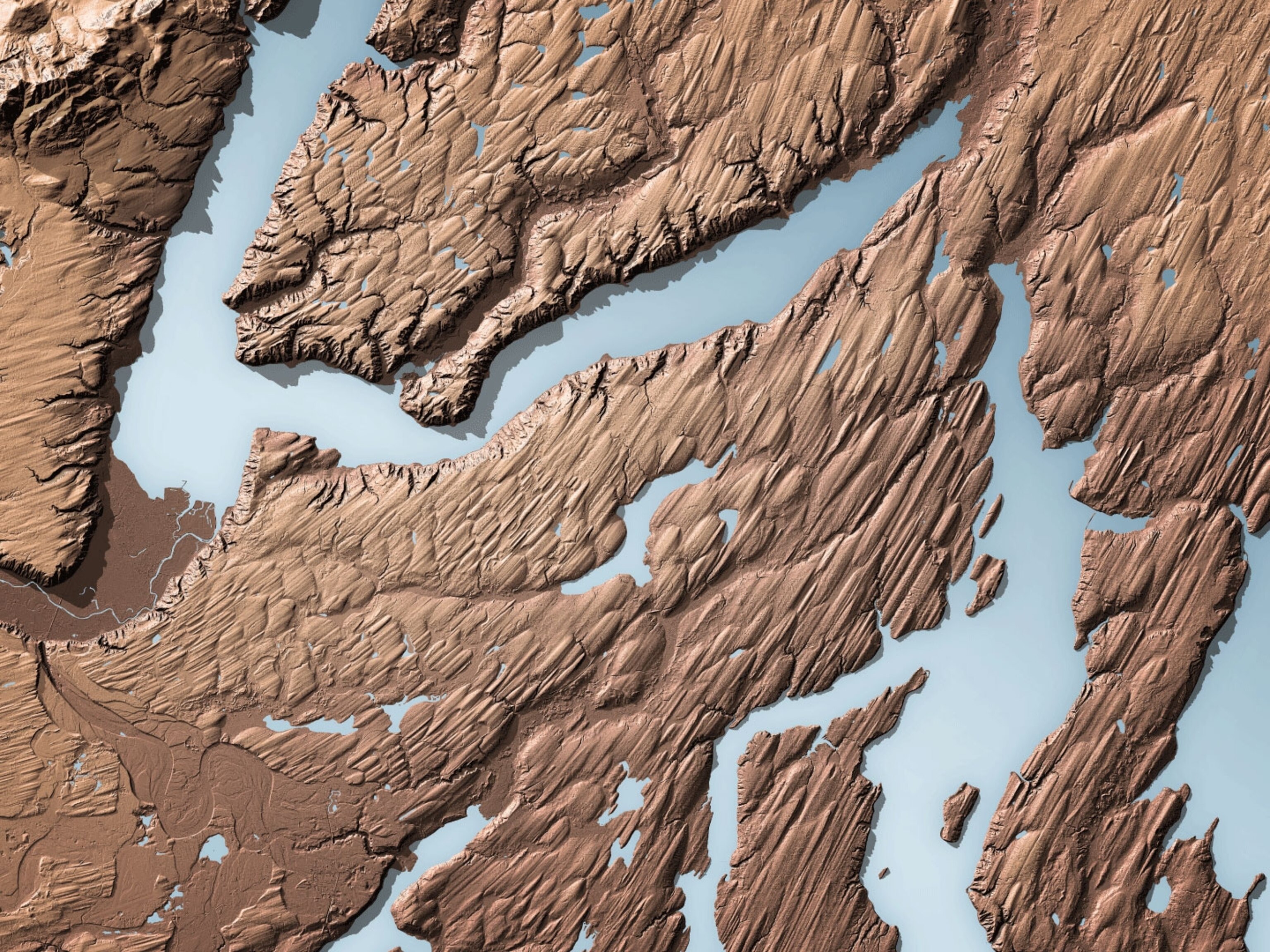
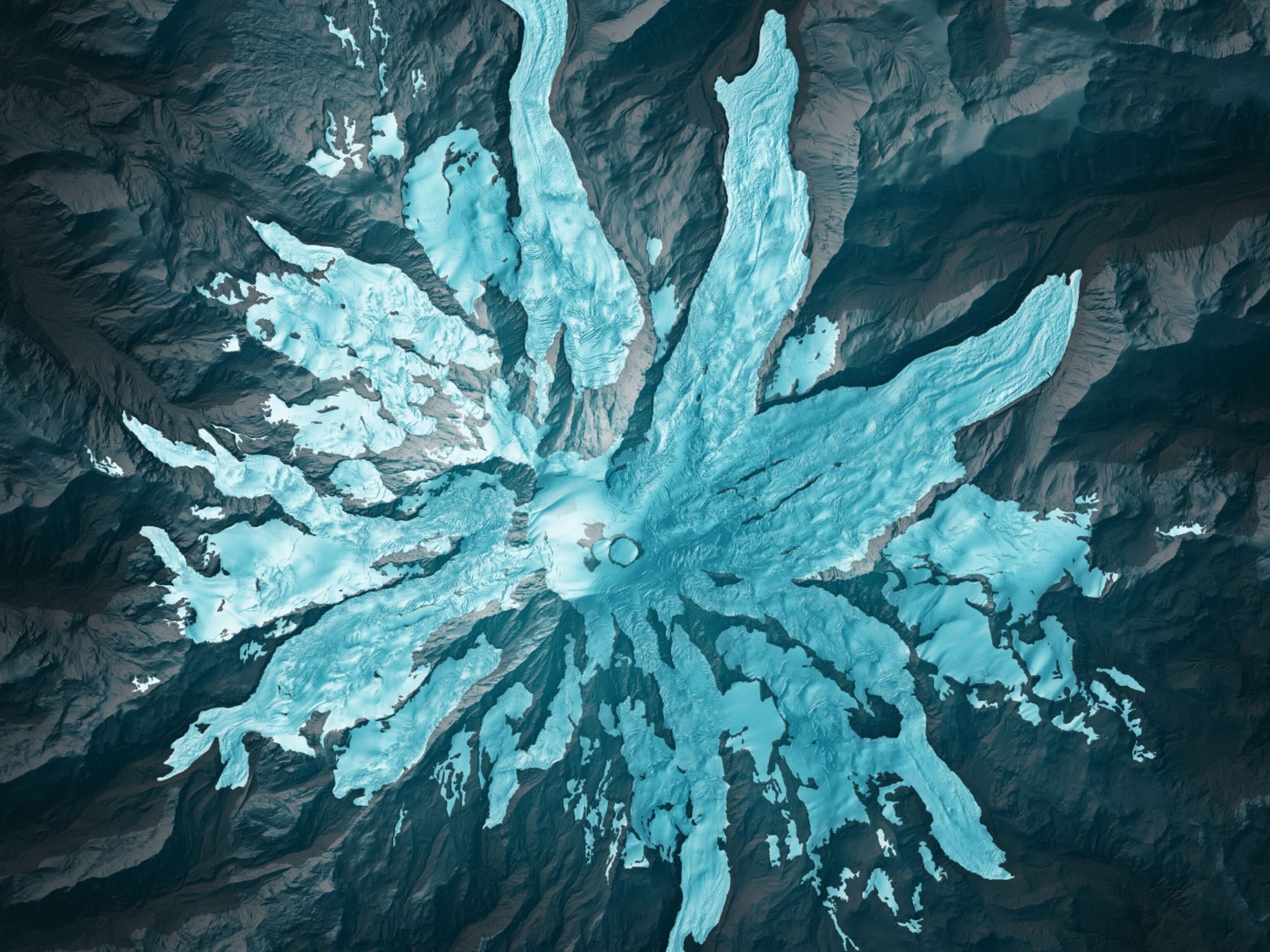
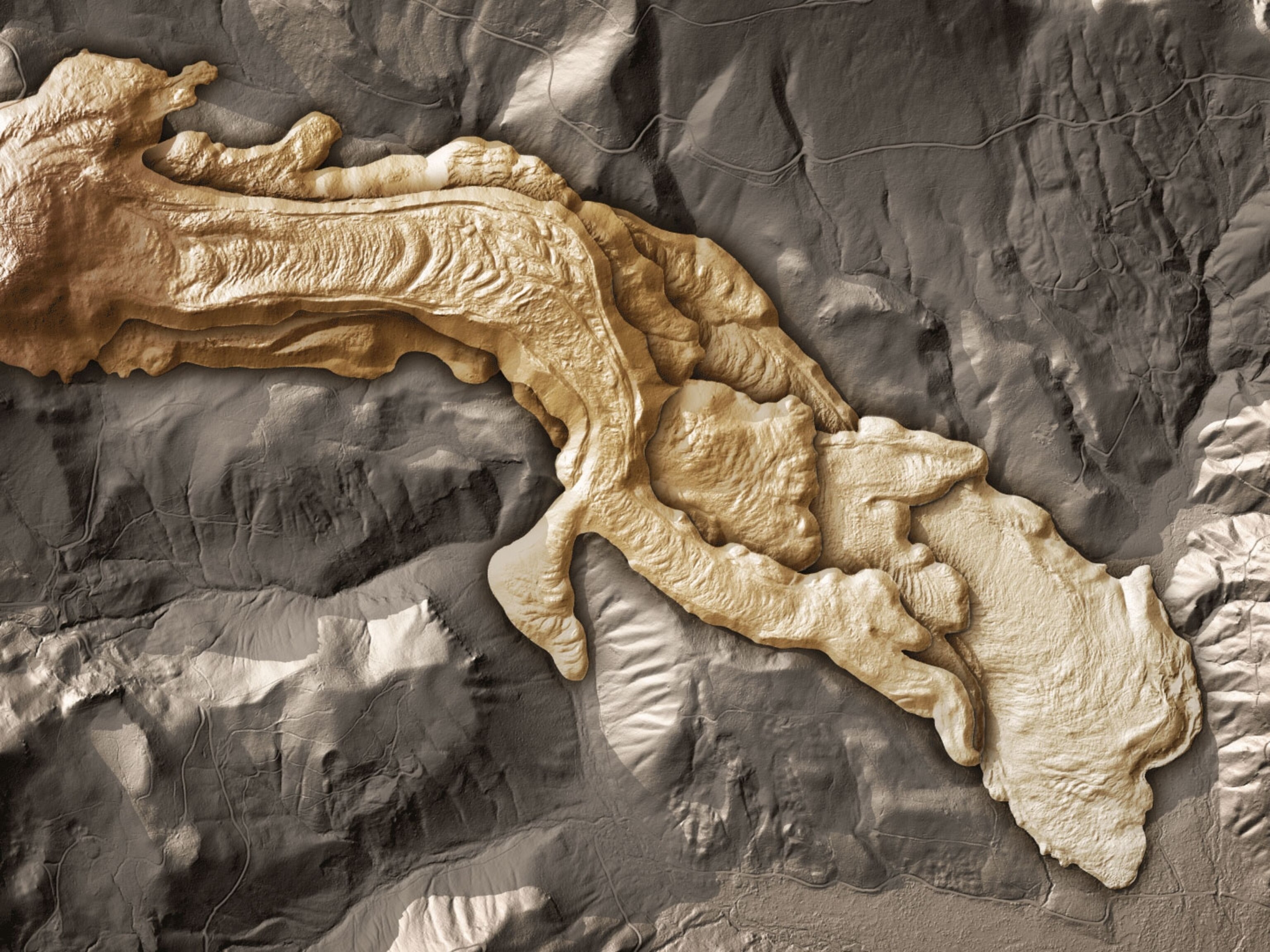
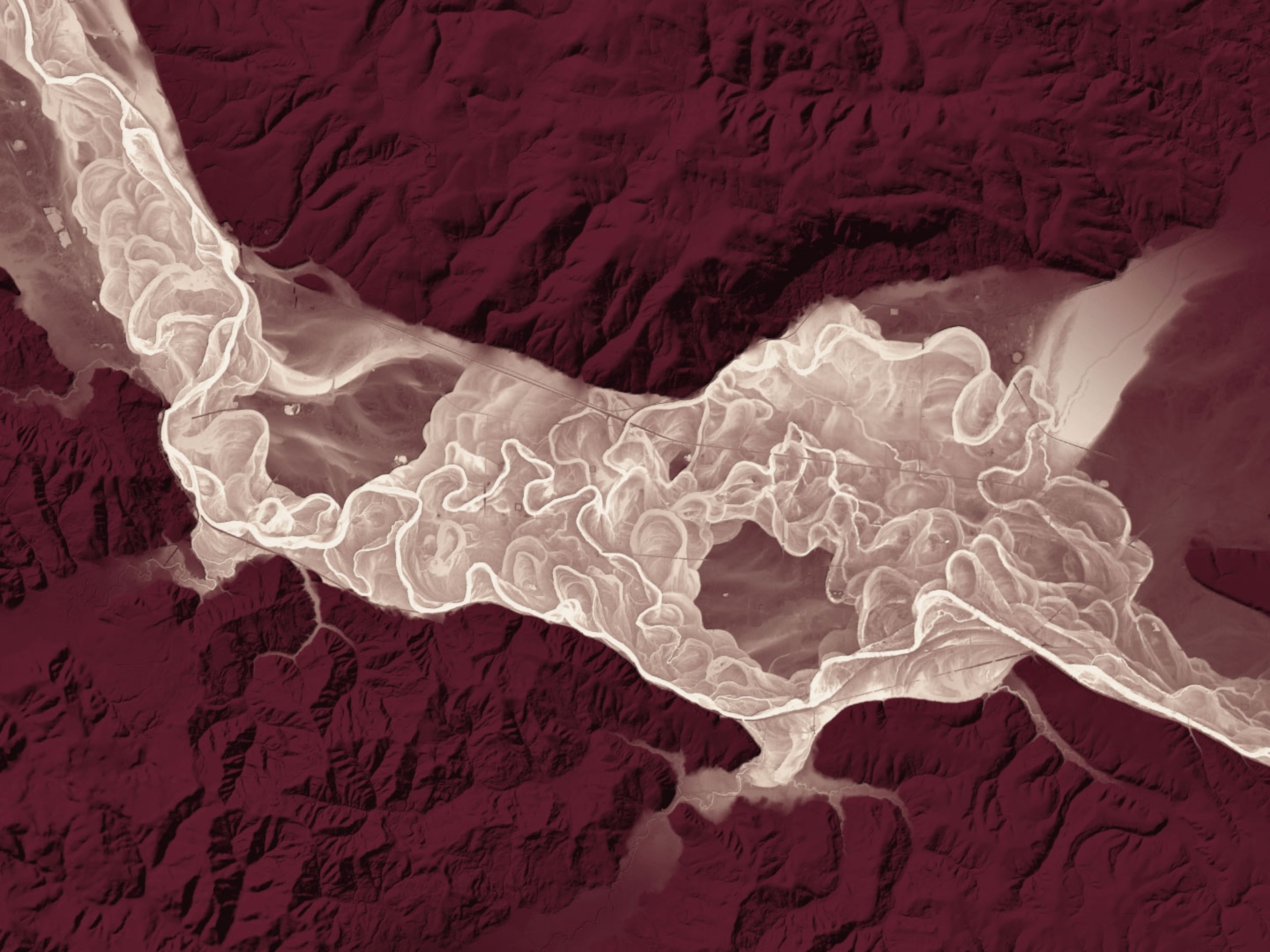
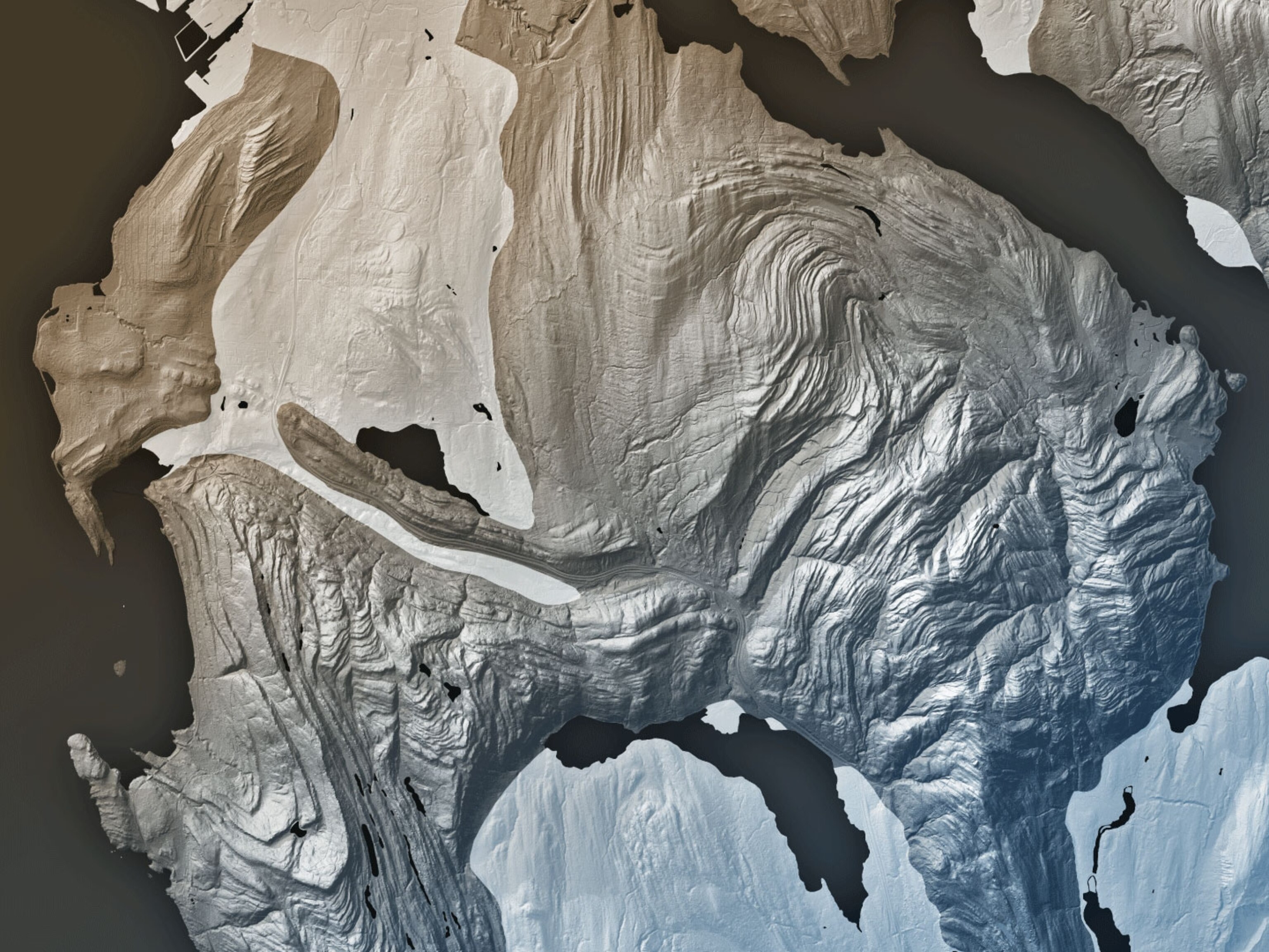
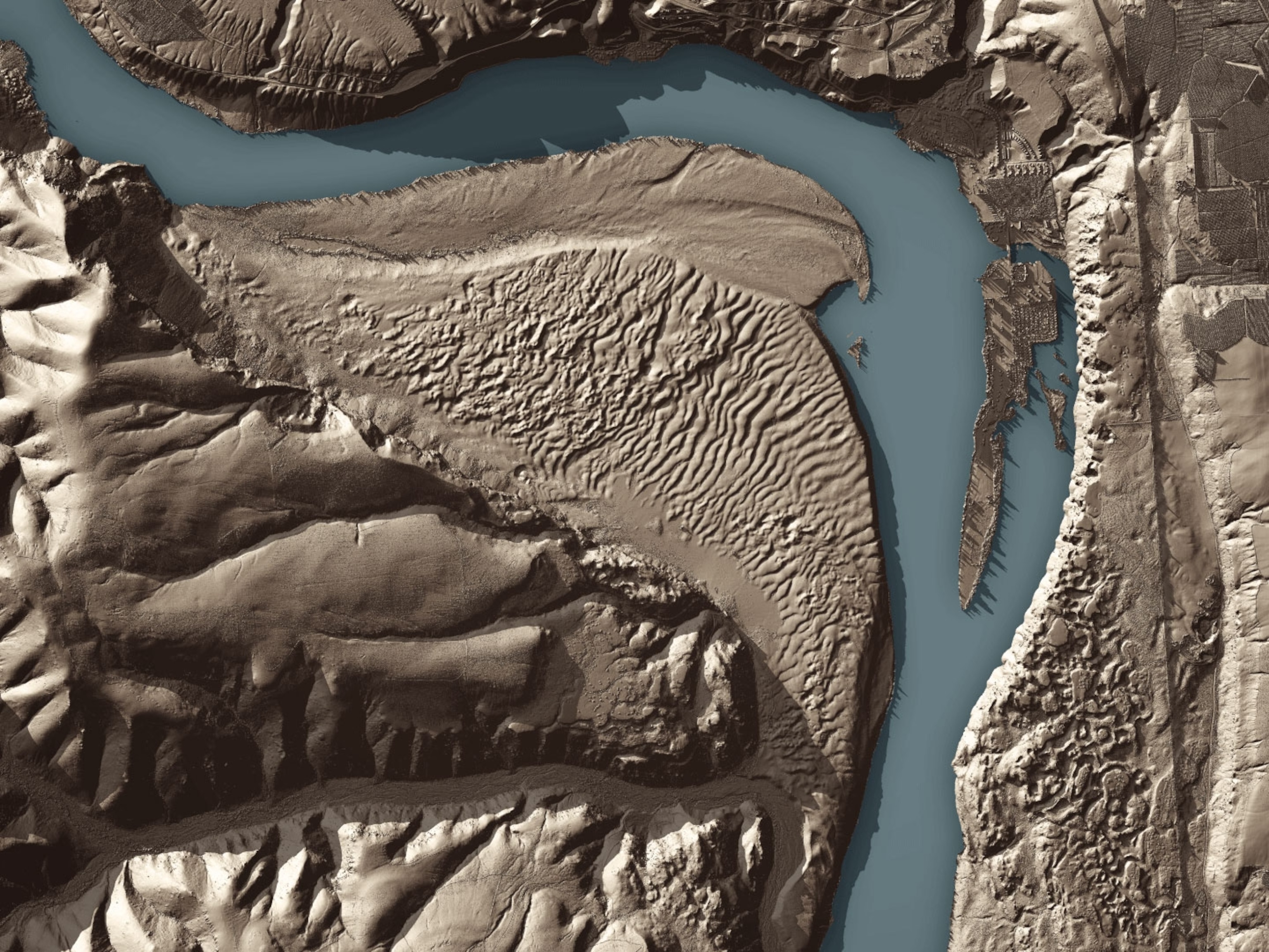
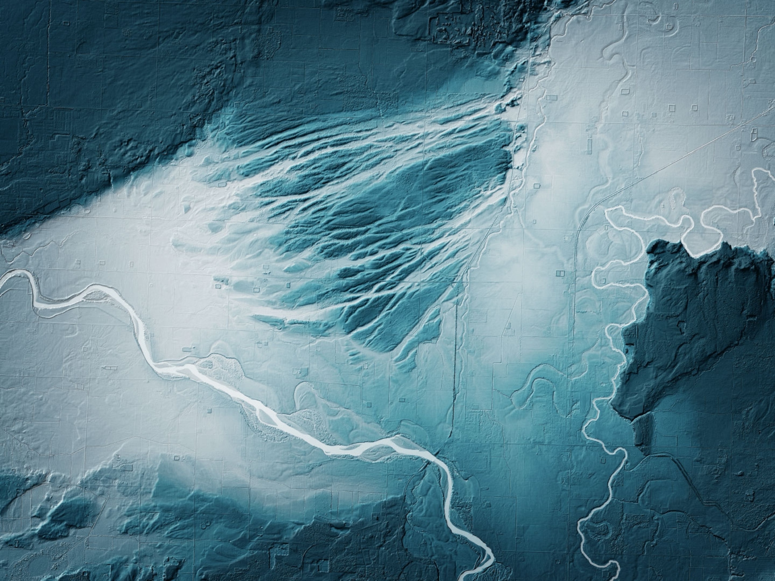
If you were to strip a forest of all its vegetation, what would you see? To find out, Washington state’s government is using airplanes equipped with LIDAR technology to scan the state’s heavily-forested ground. What’s being revealed beneath the trees is a spectacular and strange landscape of hidden geology. Old landslides, abandoned river channels, ancient lava flows, and the tracks of glaciers are suddenly visible in stark relief.
After the devastating Oso landslide in 2014 that killed 43 people in a small town 50 miles outside of Seattle, Washington’s Geological Survey decided to use LIDAR to get a better handle on the state’s geologic hazards. LIDAR, which stands for “light detection and ranging,” works by sending laser light pulses toward a target and measuring the amount of time it takes for those pulses to return. Some of the light is reflected off the tops of trees, and some manages to filter through the trees to be reflected back by the ground. By using just the light reflected from the lowest point, the ground is revealed.
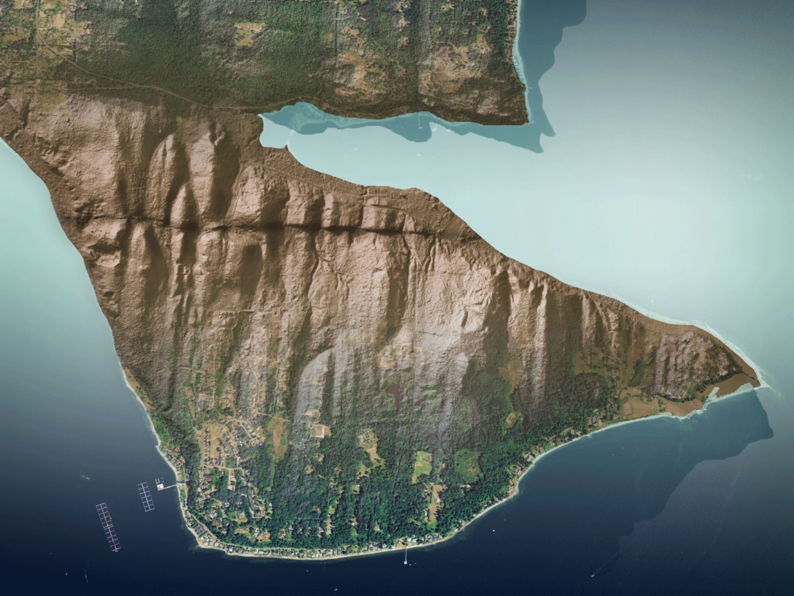
Tracking the altitude and location of a plane with GPS while it scans the ground with LIDAR yields a highly precise digital elevation map of the Earth’s surface created out of the billions of laser pulses. In effect, it strips the bedrock of all vegetation, laying bare the the surface like an extraterrestrial landscape, as can be seen in the image below that gradually changes from an aerial photo on the left to a lidar map on the right. By uncovering the debris from old landslides, LIDAR can show where future slides may occur.
With its volcanoes, faults, and glacial debris, Washington has some really intriguing geology. The images in the gallery above are some of the most interesting scenes the state has released to the public so far, colored to help the features stand out.

Follow All Over the Map on Twitter and Instagram.
