Explore 100 Years of National Geographic Pull-Out Maps
A century ago, National Geographic magazine started creating supplement maps, designed to adorn walls and explore every corner of our Earth in intricate detail. Here are some of the best.
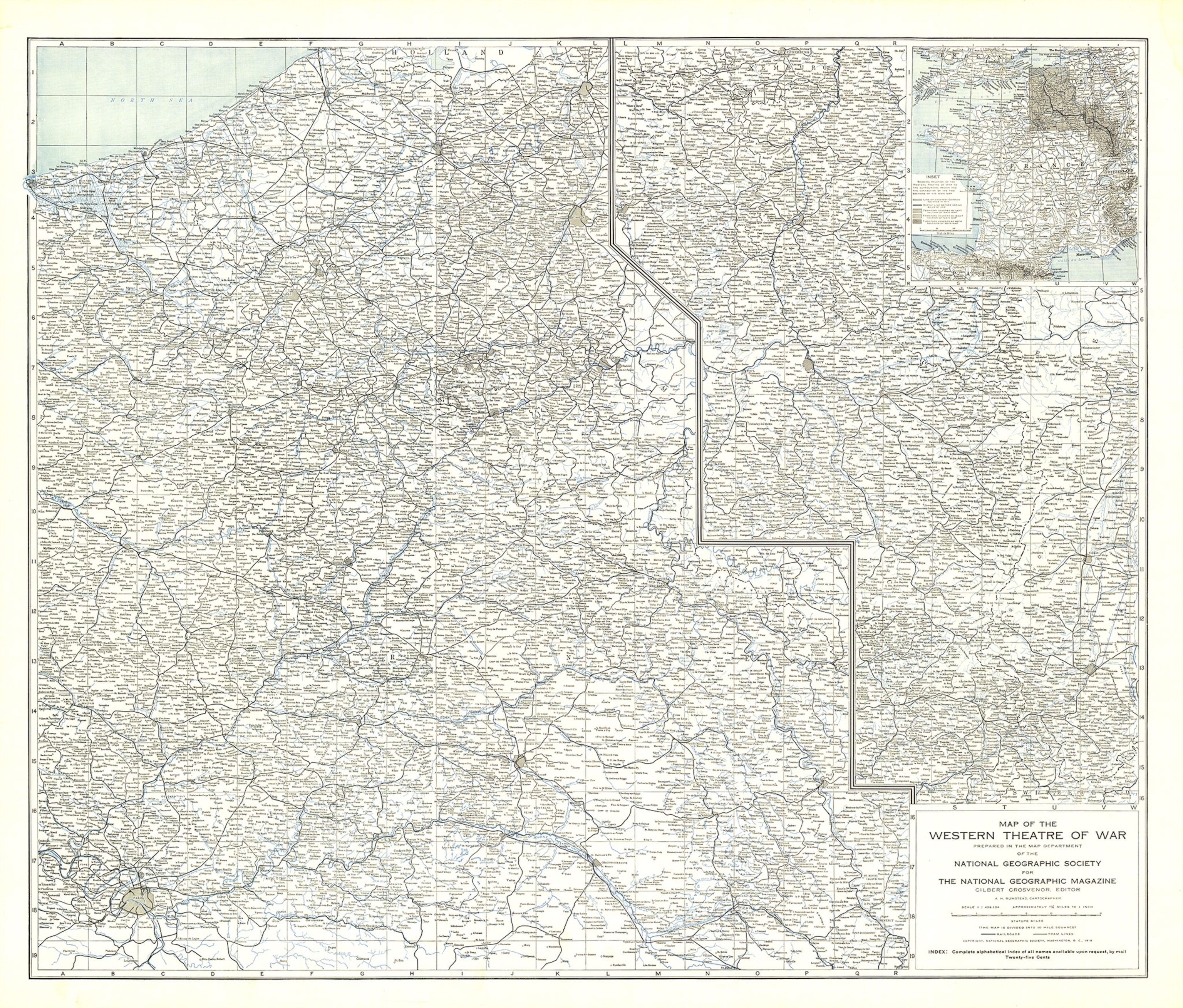
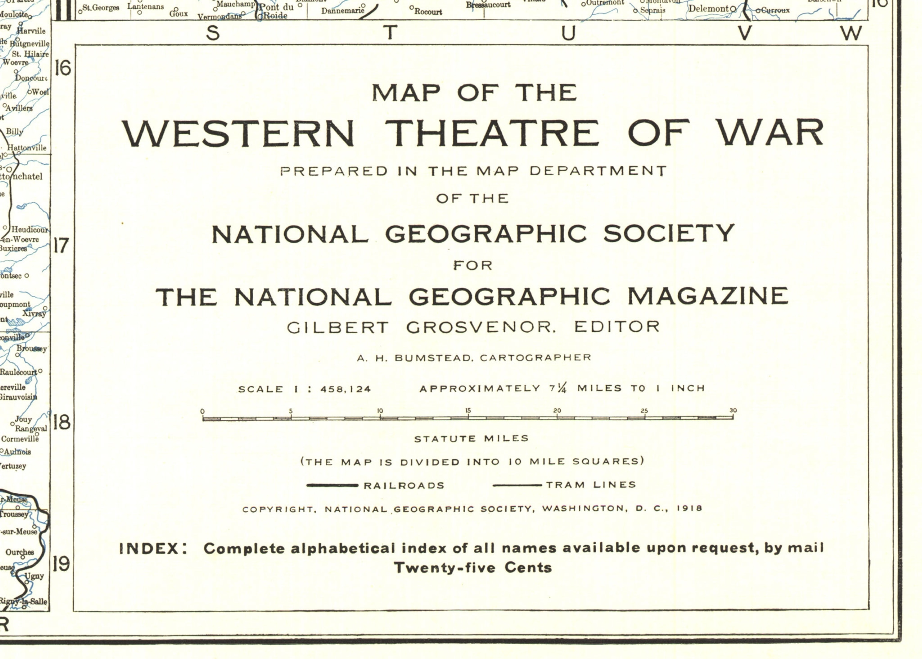
The May 1918 issue of National Geographic included an oversized map of the western front, the 400-mile battle line across France and Belgium where much of the fighting in World War I took place. The roughly 2 by 3 foot sheet was the first supplement map—a folded bonus map tucked into the magazine’s pages—made entirely by the National Geographic Society’s own cartography department, which had been created just three years earlier. Since then, National Geographic cartographers have created hundreds of supplement maps exploring the world, its people and cultures, and the natural environment.
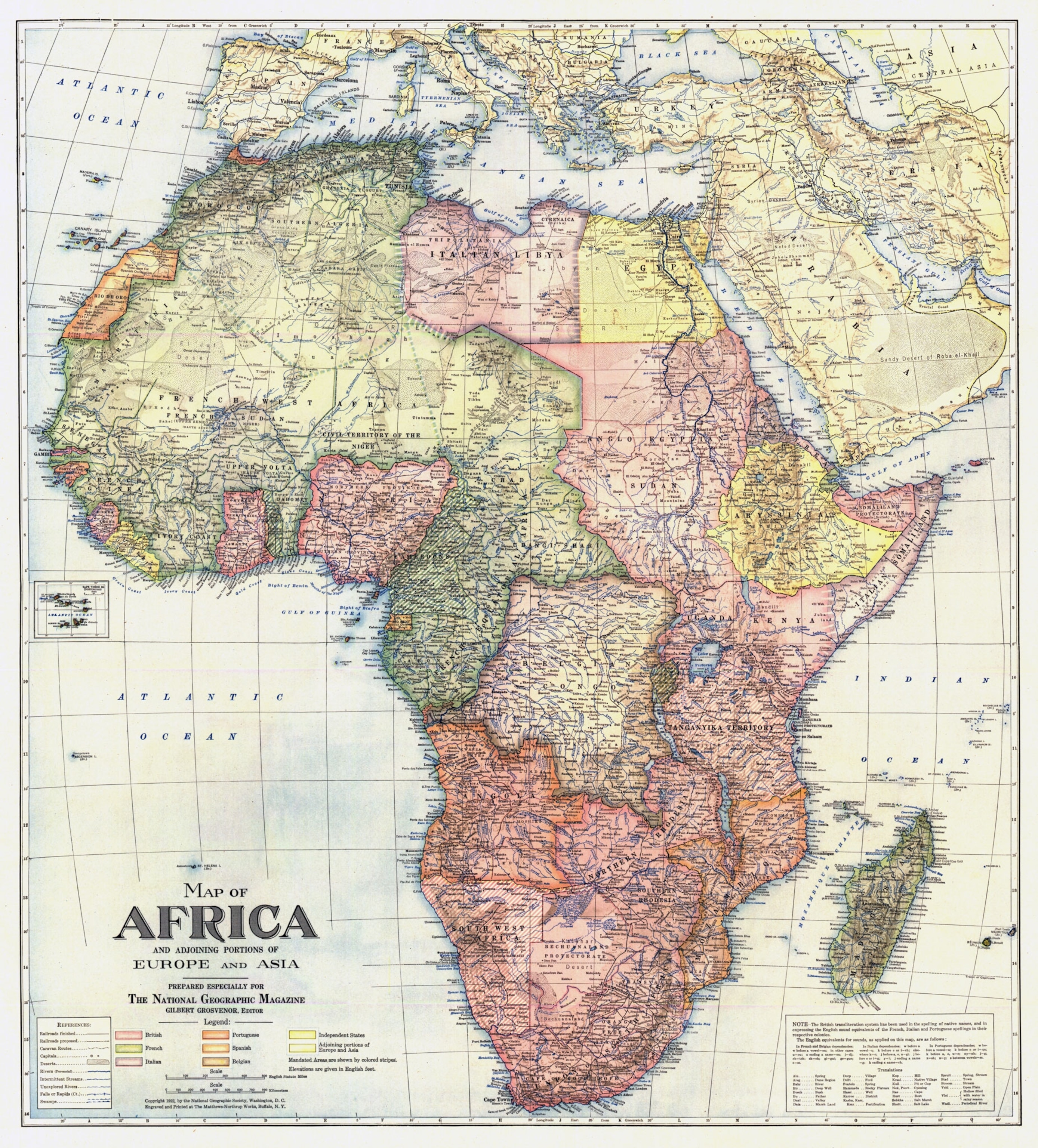
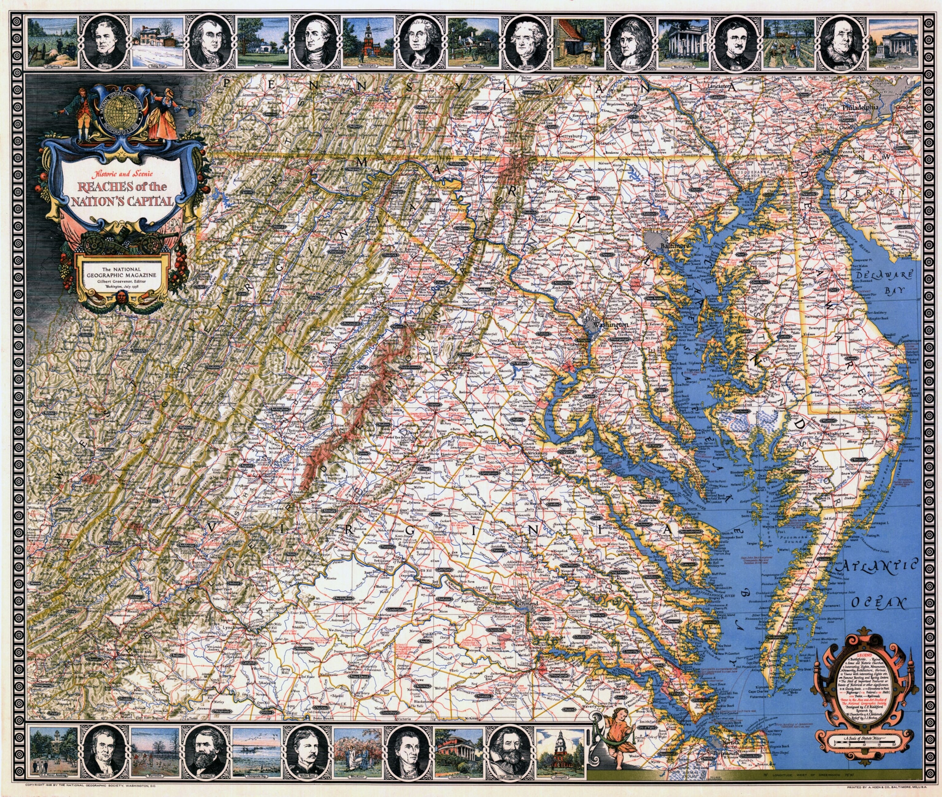
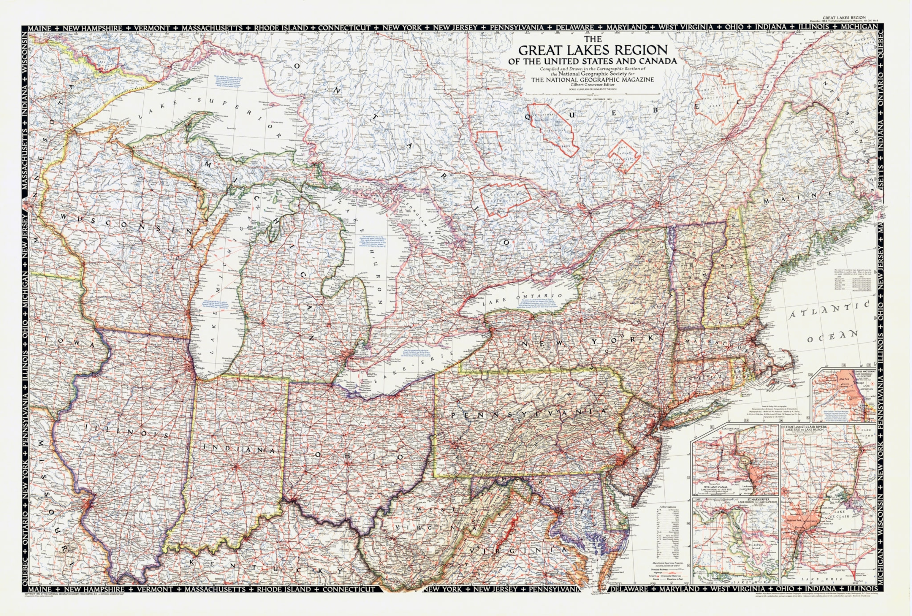
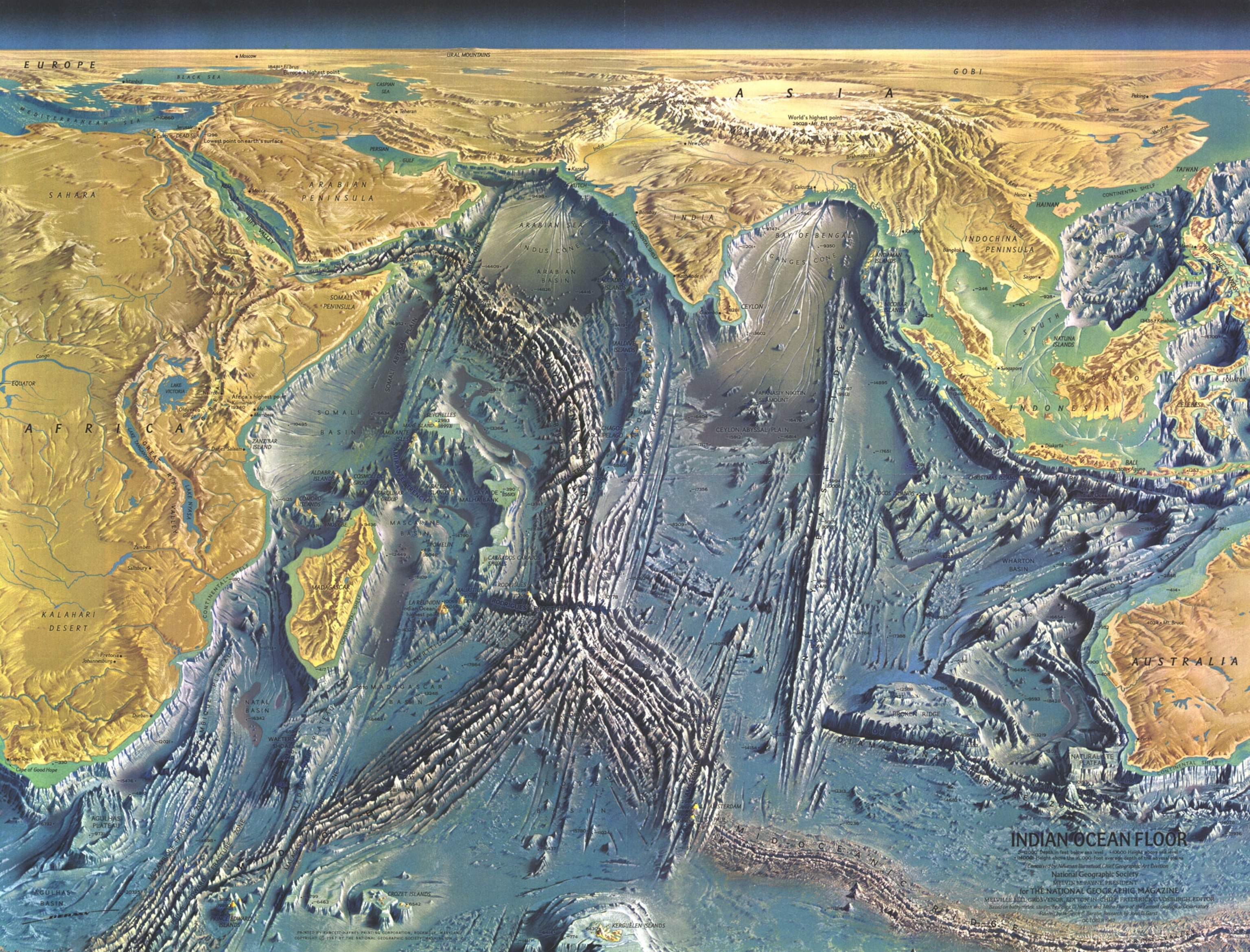
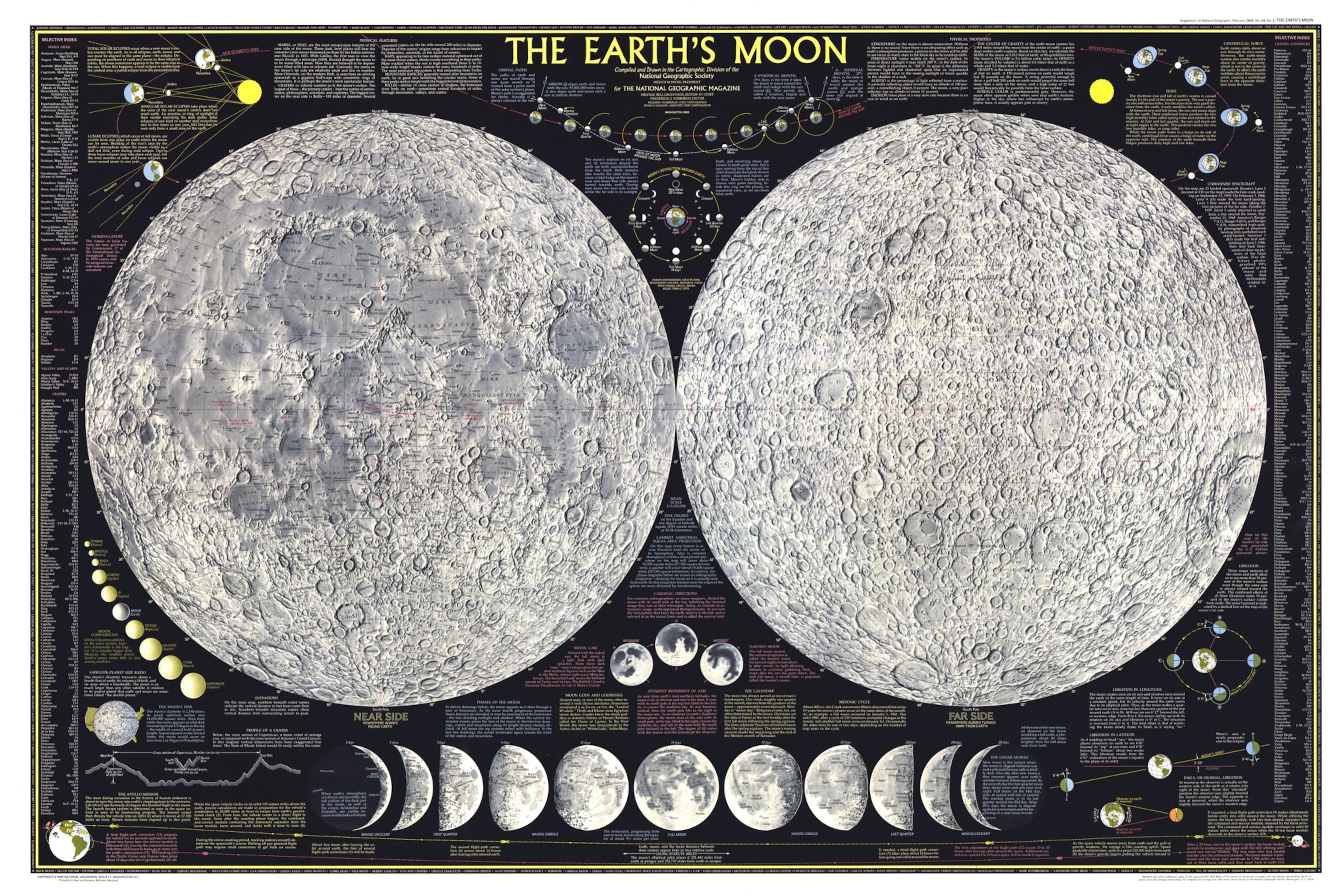
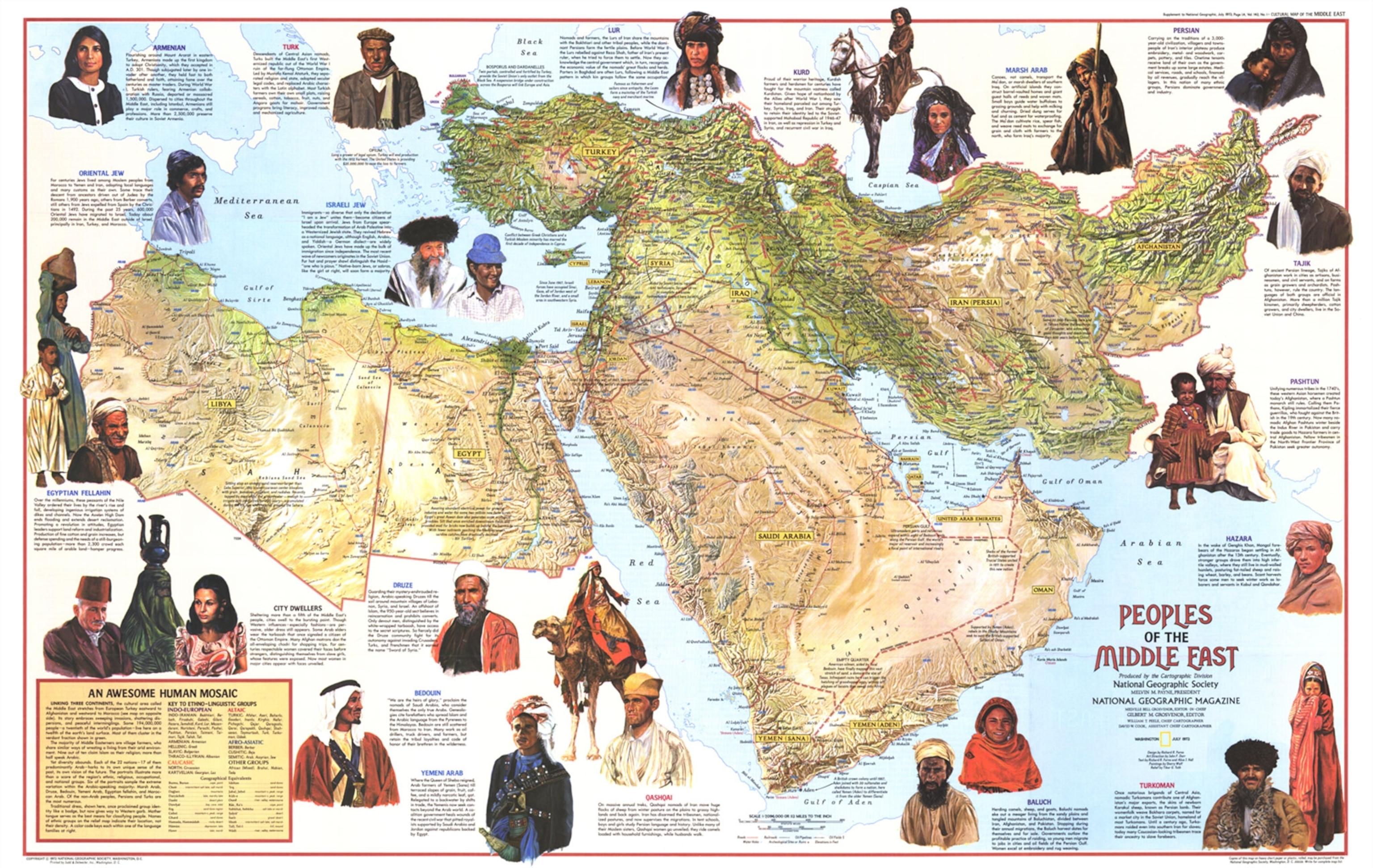
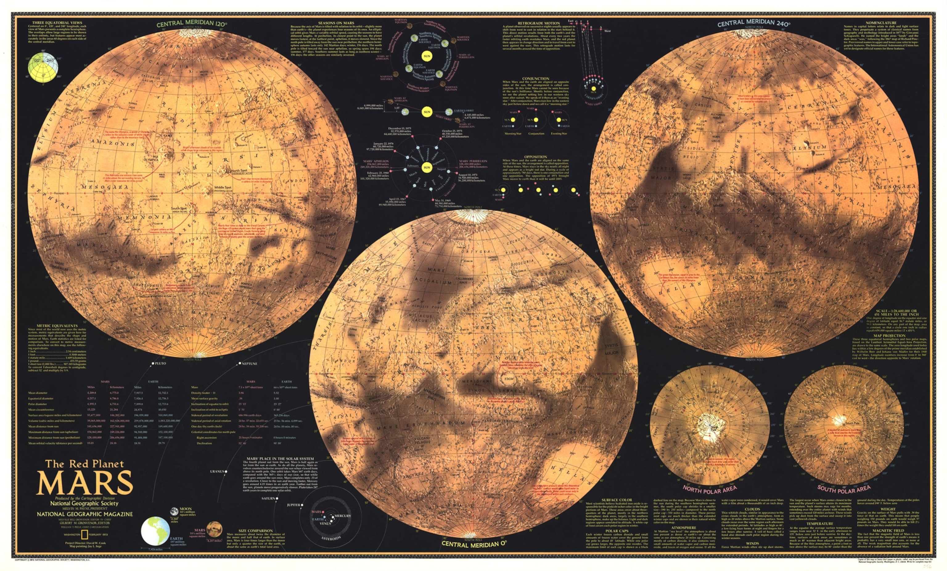
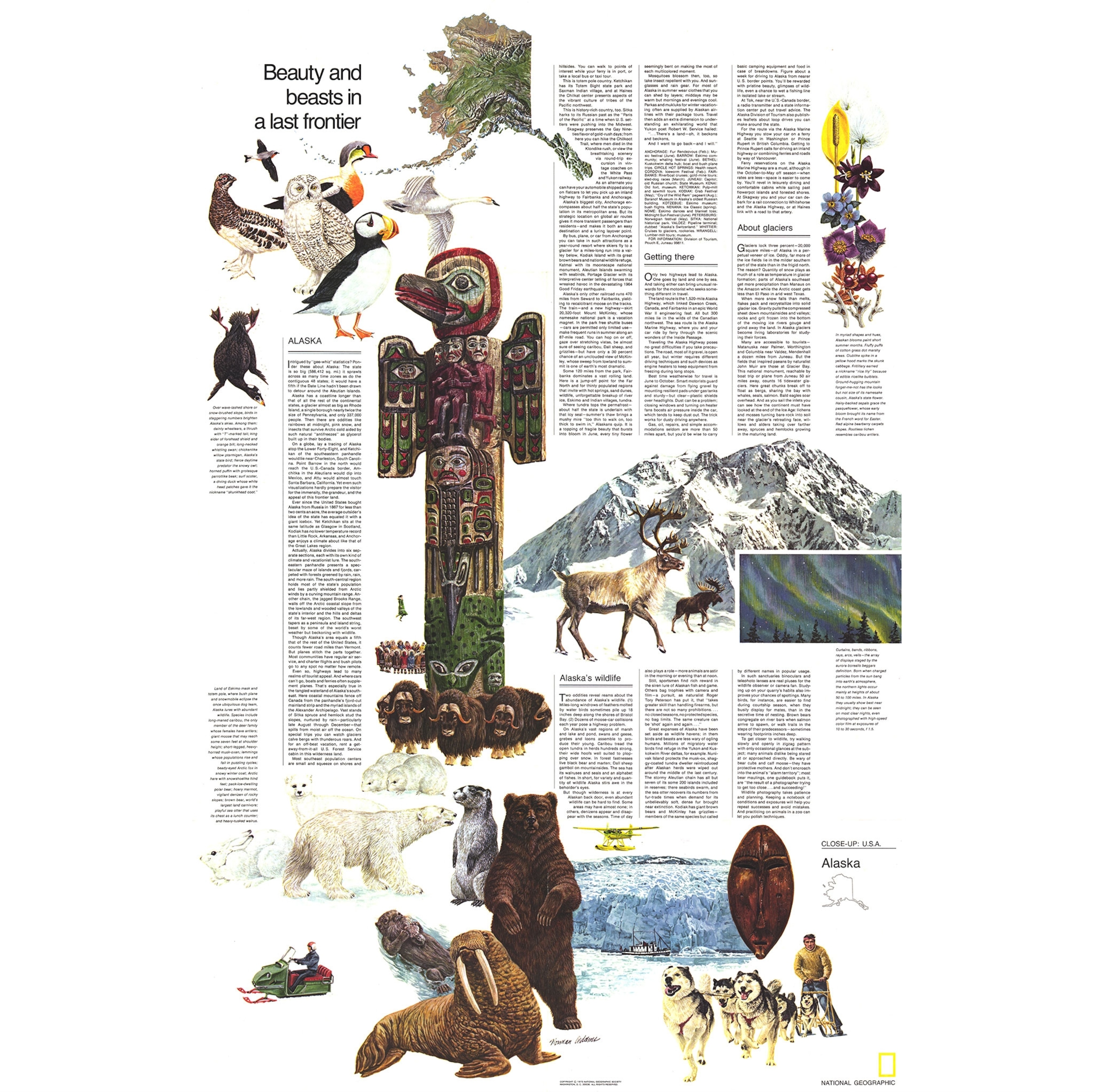
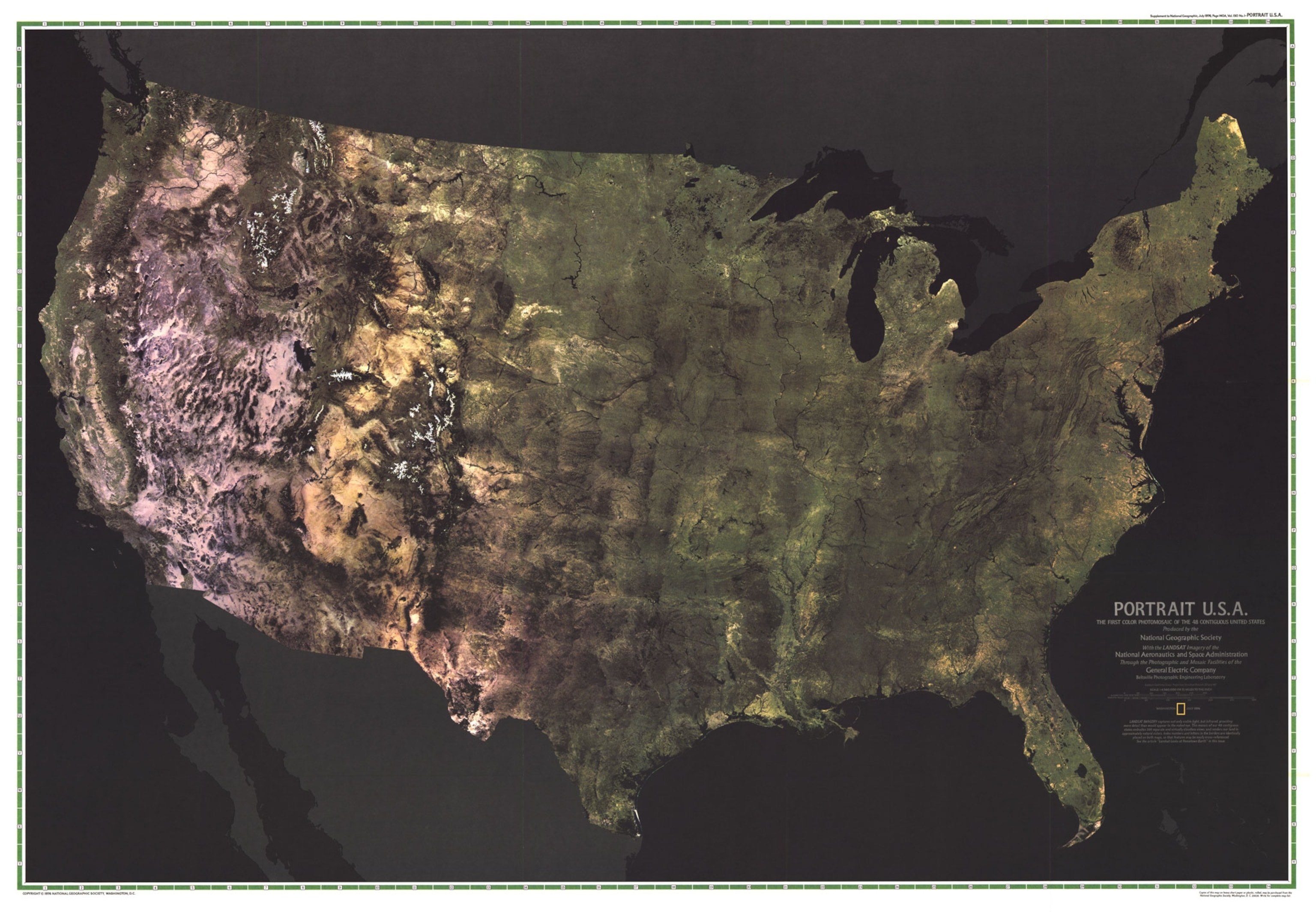
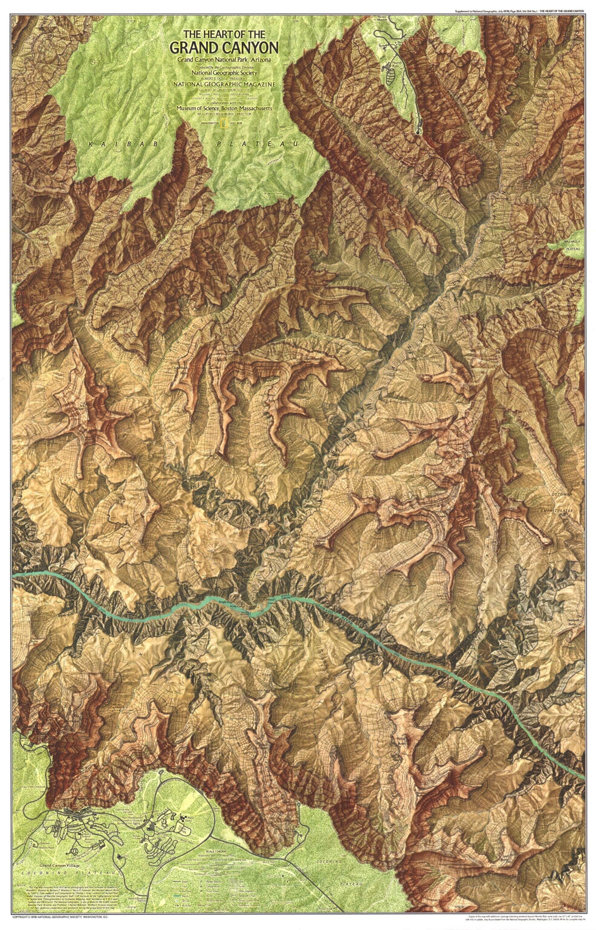
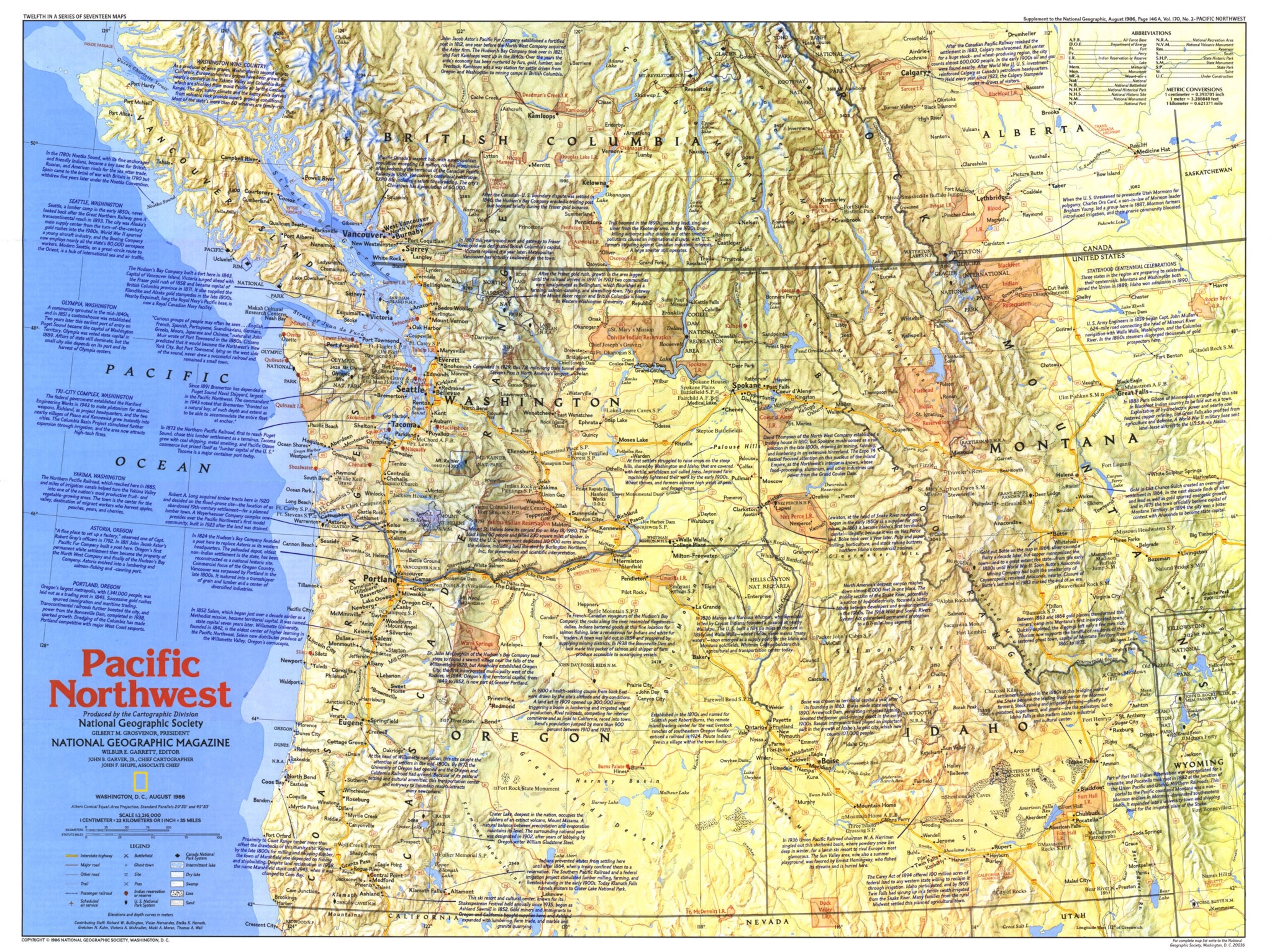
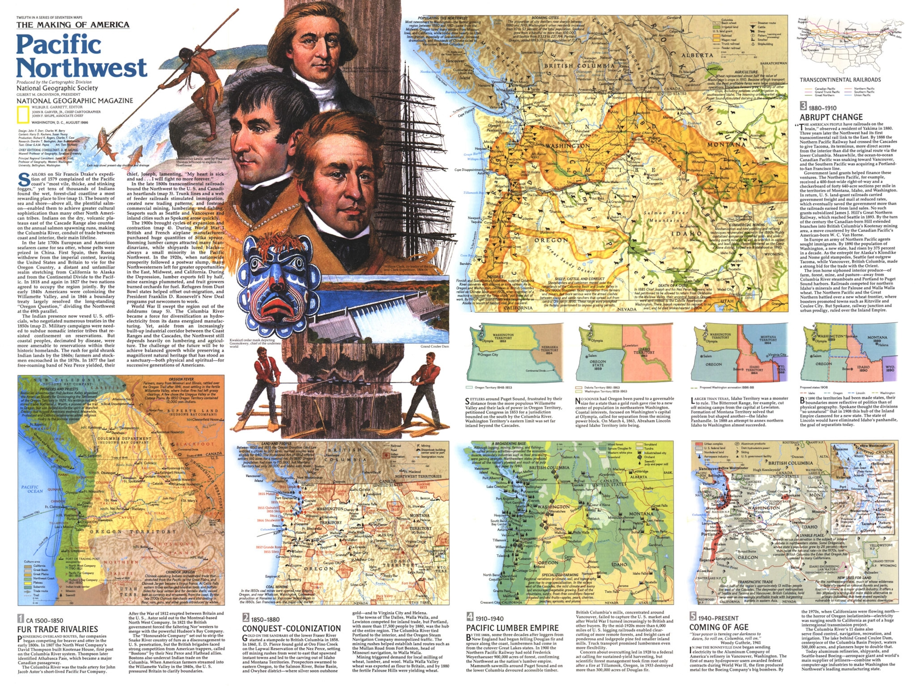
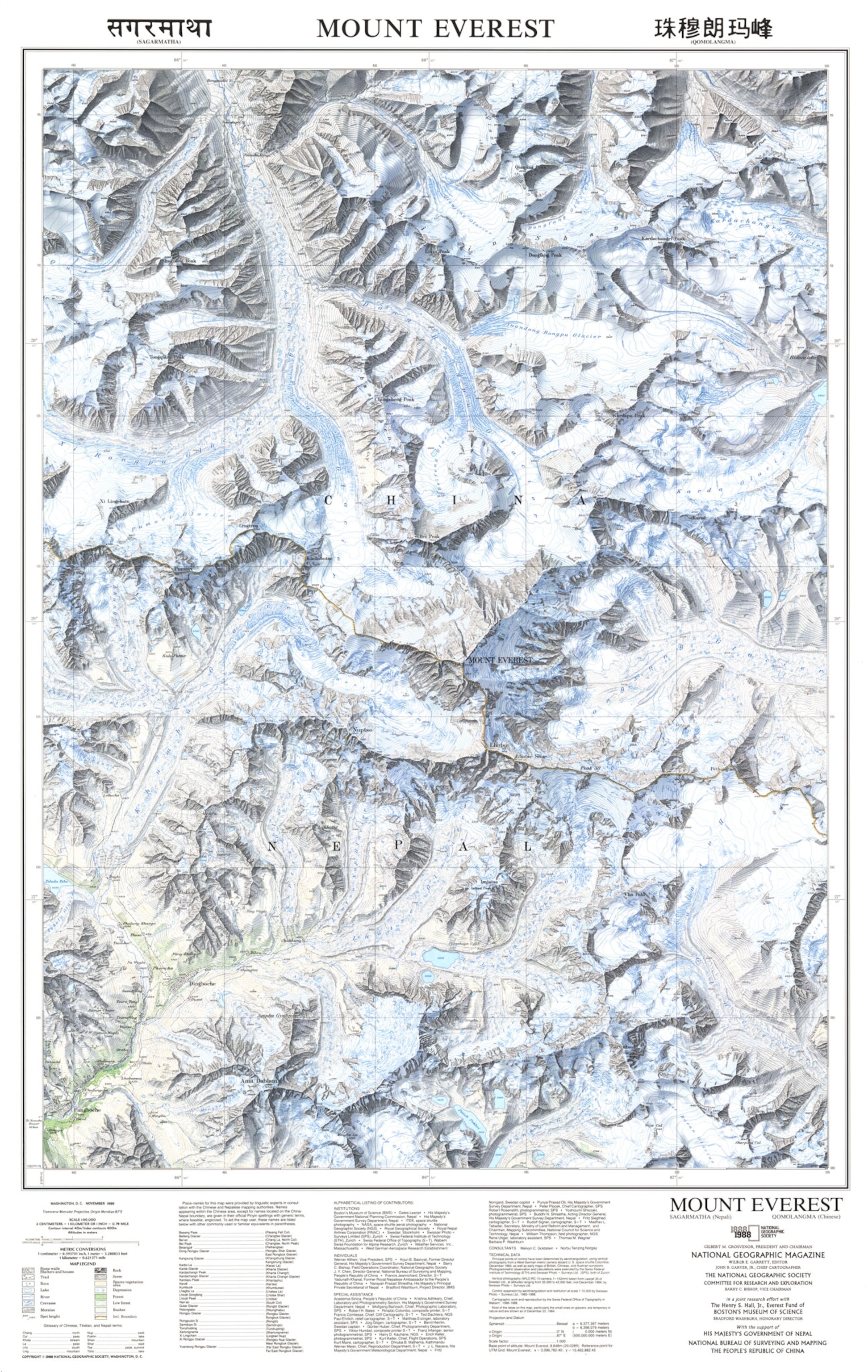
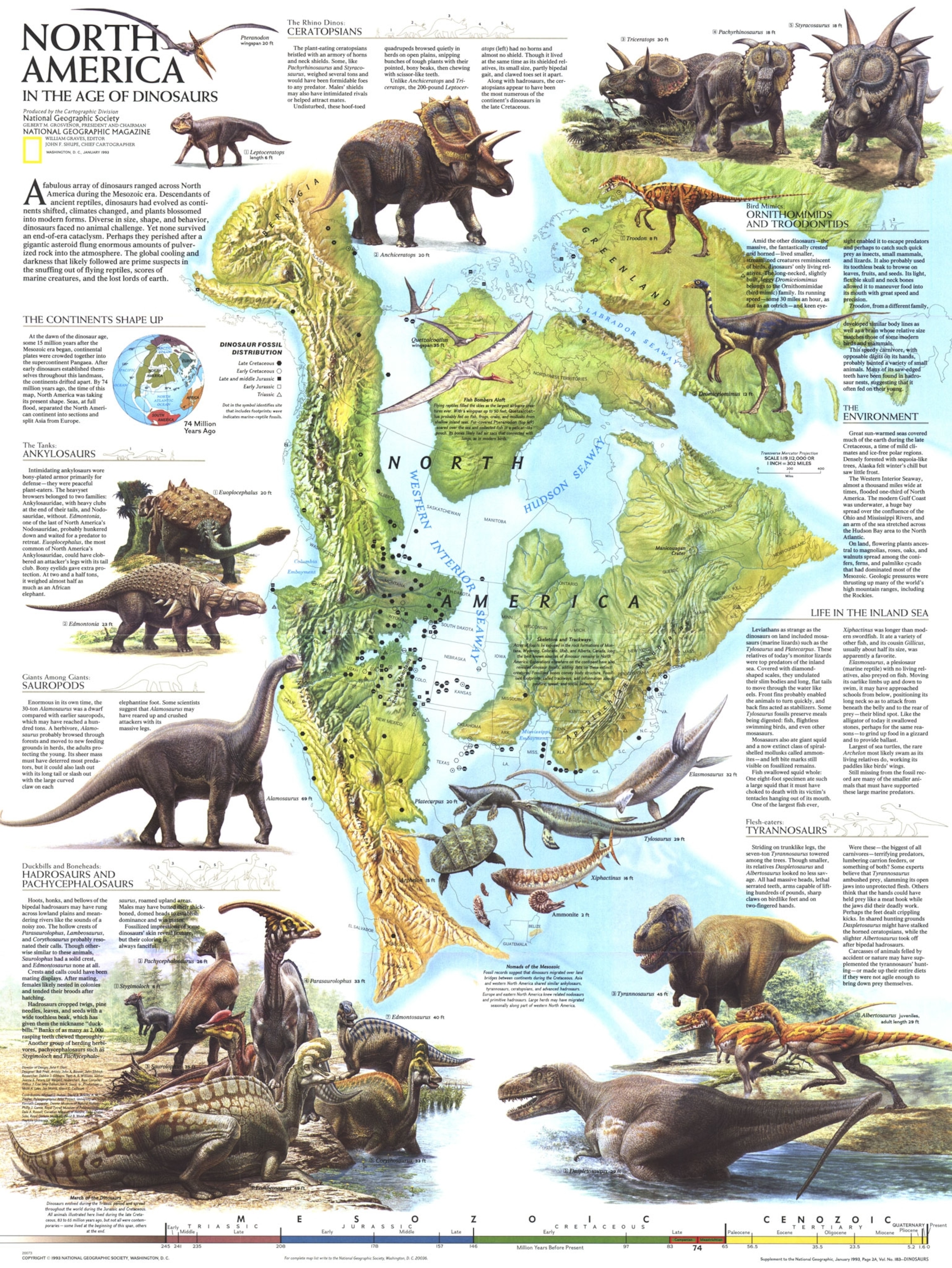
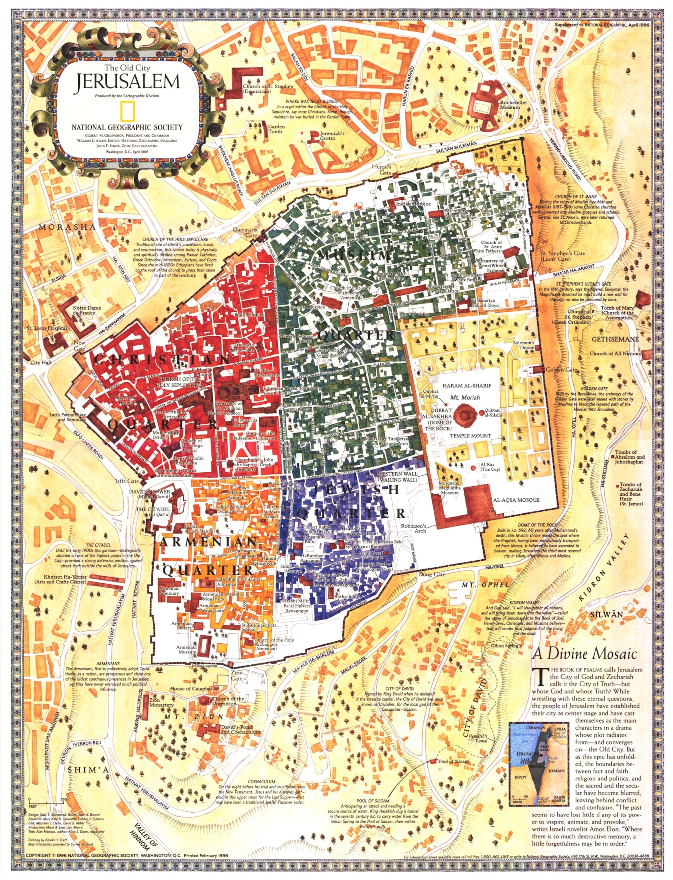
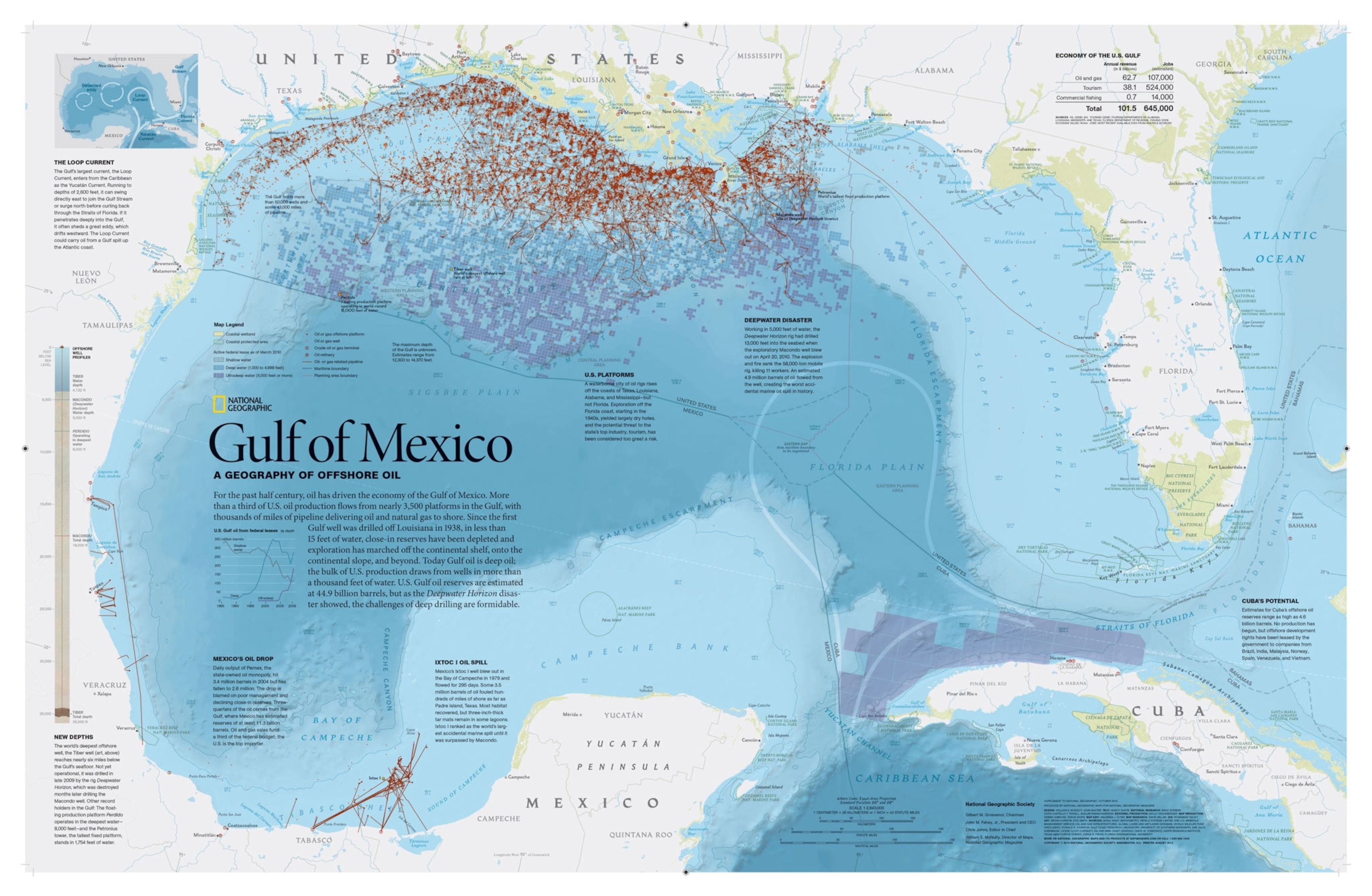
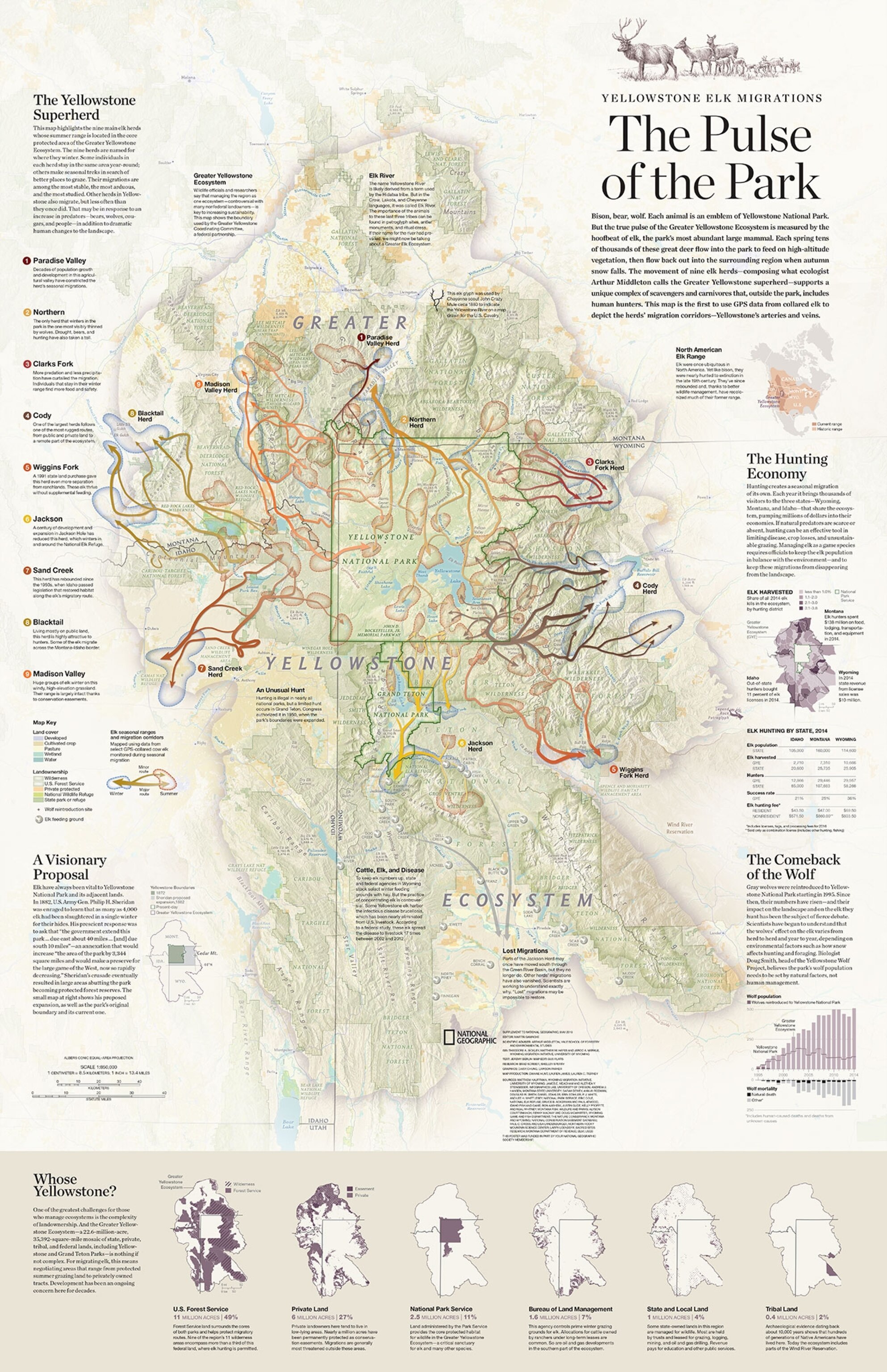
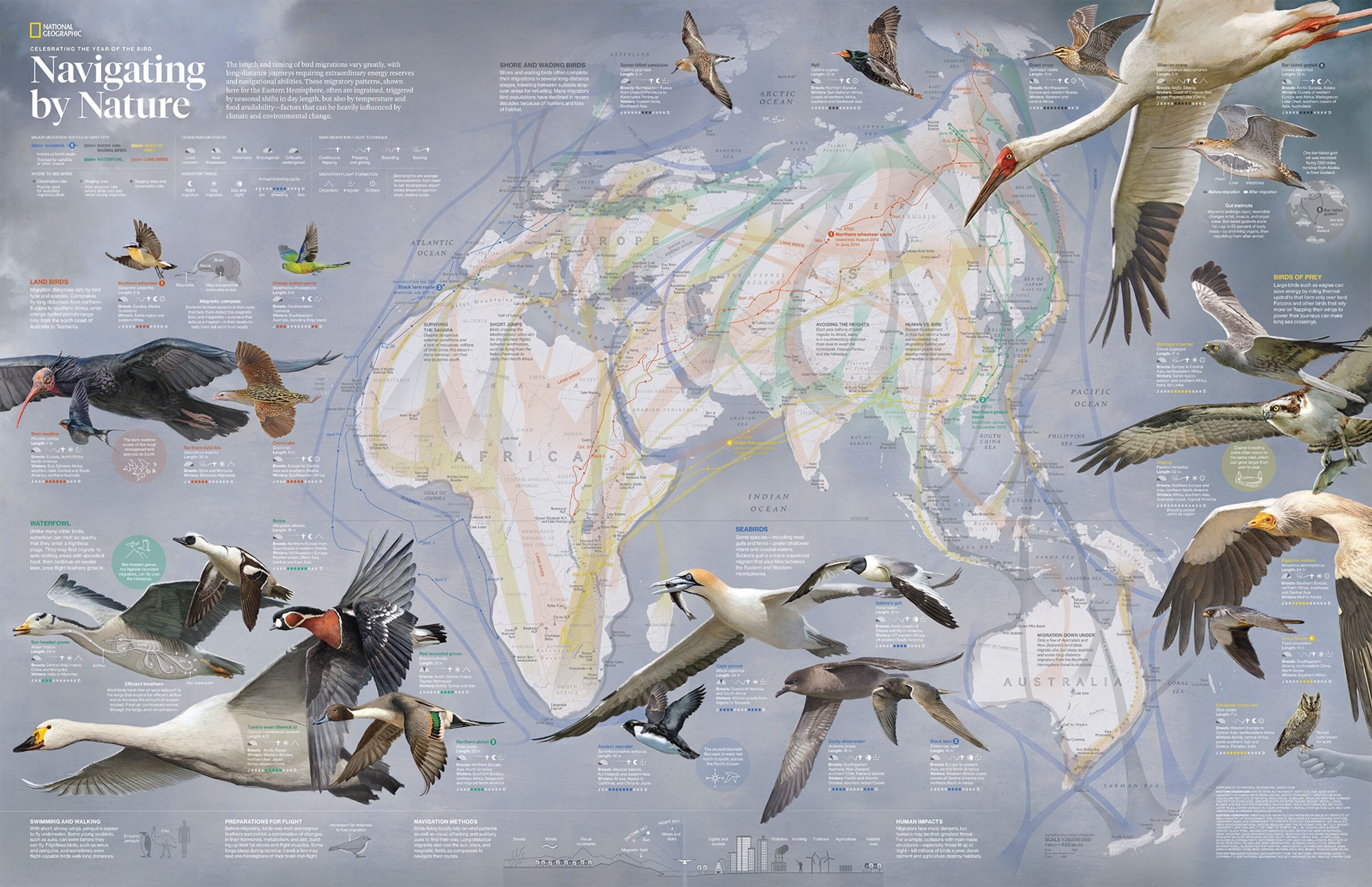
The gallery above highlights some of the most memorable maps from this great tradition, most of them chosen by the current cartography team and by National Geographic map librarian, Michael Fry. They include pioneering maps of the ocean floor, a map of the moon published just months before the first astronauts set foot on its surface, stunning maps of landmarks like the Grand Canyon and Mount Everest, as well as maps of animal migrations and ancient cultures.
Supplement maps had been included in National Geographic since the very first issue in October 1888, but until the May 1918 map they were not created in-house. Several of the Society’s founders, Fry notes, were cartographers and geographers with close ties to government agencies that work with maps, such as the U.S. Geological Survey, and many of the early supplements were reprints of maps created by these agencies or by the U.S. military. Others were commissioned from existing mapmaking firms—to accompany an expedition report or scholarly paper by one of the Society’s founders or members, for example.
However, the Society’s internal history suggests that by the early 1900s, the magazine’s editor, Gilbert H. Grosvenor, had grown dissatisfied with this arrangement. “Grosvenor had always been very specific about what he wanted in such [supplement] maps, but he was often frustrated when working with companies located a great distance away,” according to the Society’s historical records.
To remedy this, Grosvenor hired topographer Albert Bumstead, who had recently mapped the region around the newly discovered Inca ruins of Machu Picchu in Peru, to establish the Society’s cartography department in 1915. The 1918 “Map of the Western Theater of War” was their first supplement map.
The map was intended to fix a problem with existing maps of the western front, according to an accompanying essay. Typical maps of the time omitted the names of nearly half the places in the war zone, making them poorly suited for following the progress of a war in which tiny villages often made headlines as the site of a crucial battle.
The biggest cartographic challenge was figuring out how to pack more names onto the map without making it illegible or too big to comfortably use. Bumstead accomplished this by dividing the map into two sections to use the space more efficiently and by ignoring topography and anything else not essential to his main goal. “Fully 95 per cent of the names mentioned in the daily news appear on this map,” the essay boasts. (An index could be ordered by mailing 25 cents to the Society’s headquarters in Washington, D.C..)
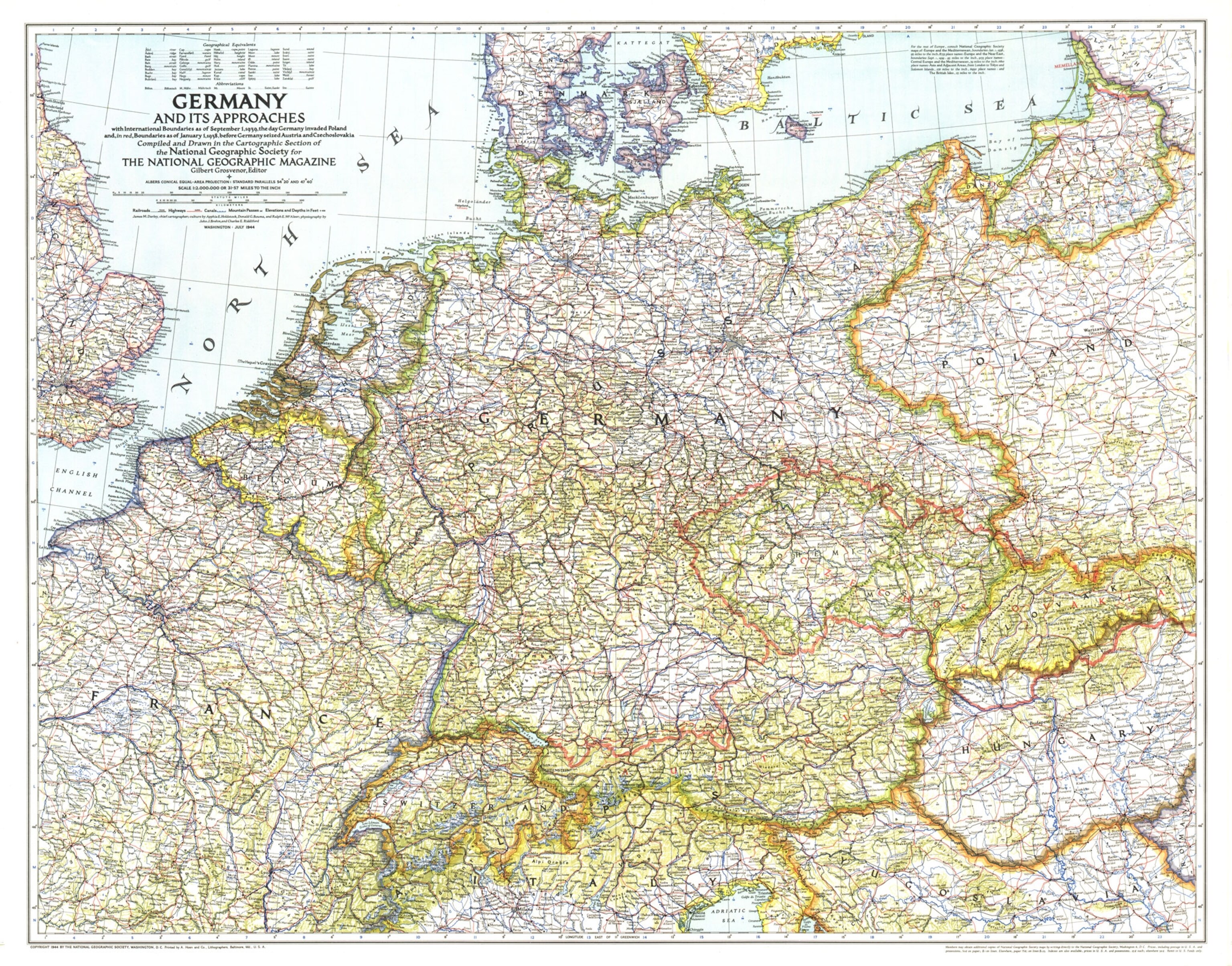
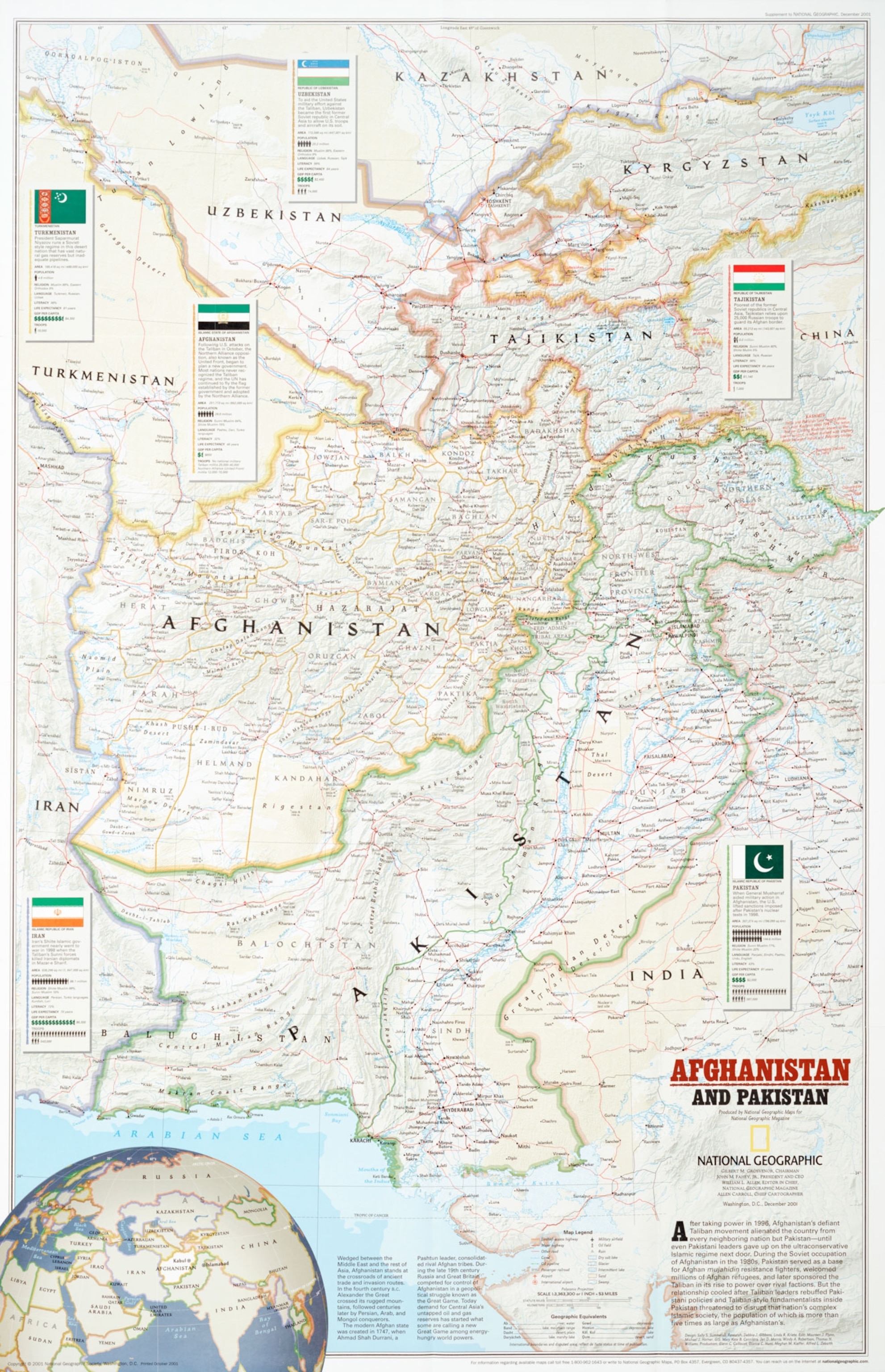
In subsequent years, National Geographic has published other supplements to illustrate conflict zones, from World War II-era maps of Germany and the South Pacific to a map of Afghanistan produced for the December 2001 issue, shortly after the U.S. invaded that country.
The first supplement maps were almost entirely reference maps, created to serve the Society’s founding mission to educate its members about geography, Fry says. In the early 20th century, most readers would have had little opportunity to visit far flung parts of the world themselves, and would have read little about places that weren’t involved in the two World Wars. The supplement maps from this period brought the unseen world to their door.
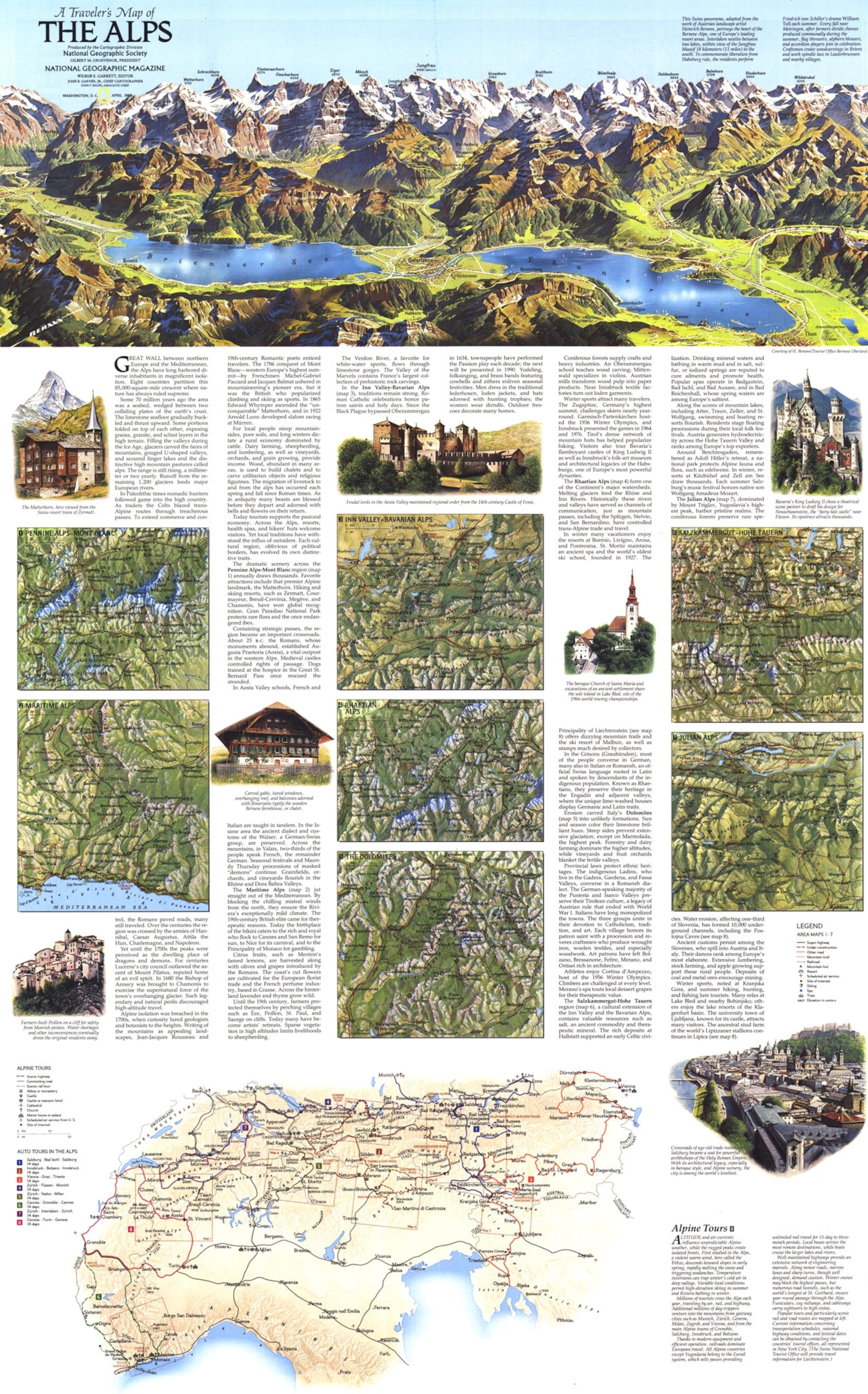
Then, in the 1960s and 70s, the cartography department expanded the scope of supplement maps, taking on history, culture, the environment, and other themes. These supplements tended to be more complex: they included inset maps, graphics, and illustrations, often printed on both sides. Fry sees this change as a reflection of the evolving view the Society had of itself. Initially, the goal was simply to give readers a basic foundation in geography, he says. “Once we’d exhausted that angle, we had to branch out and find new ways to tell stories about the world.”
For current members of the cartography team, working on a supplement map is one of the best parts of the job, says Martin Gamache, National Geographic’s director of cartography. “It's the biggest canvas you're going to get,” he says. “It's the thing that people hang on their walls.”
With reporting by Betsy Mason. Special thanks to cartography research editor Irene Berman-Vaporis for help compiling the maps.
Interested in wartime maps? Read our previous posts about the role of maps in World War I or the Soviet military’s secret mapping program during the Cold War.
Follow All Over the Map on Twitter and Instagram.
