There’s a New Tallest Peak in the North American Arctic
Settling an old debate, a new remote sensing technique establishes that Mt. Isto in northeastern Alaska is taller than surrounding peaks.
Arctic Alaska is so remote and inaccessible that there have been few accurate maps of much of its terrain. This puts pilots at risk of crashing into peaks and adds uncertainty for oil developers building pipelines.
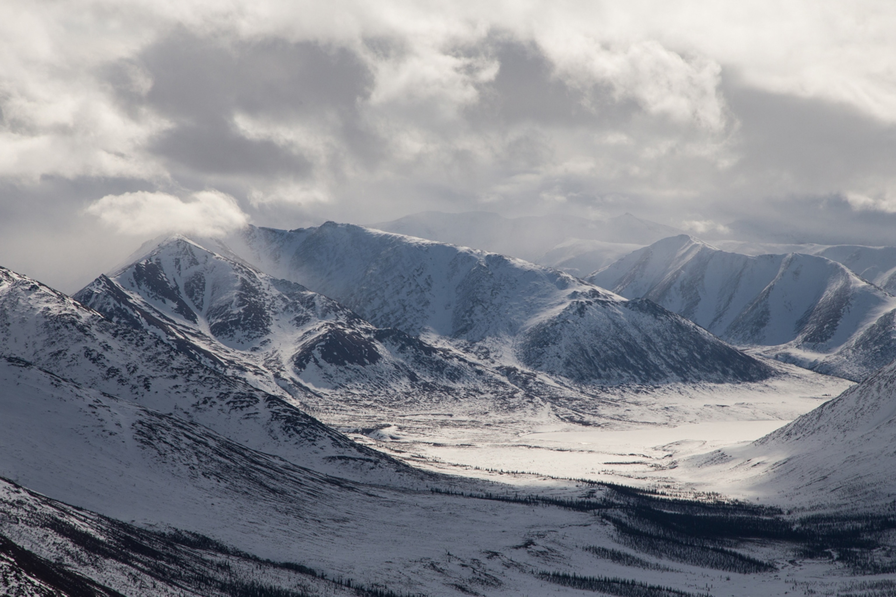
This problem has been in particular focus in the Arctic National Wildlife Refuge (ANWR) in northeastern Alaska, where scientists have debated which is the region’s highest peak—Mt. Chamberlin or Mt. Isto.
But a new analysis, based on new mapping technology, has found that Isto is indeed taller, at 8,976 feet (2,736 meters). The next highest is actually Mt. Hubley, at 8,917 feet (2,718 meters), followed by Chamberlin at 8,901 feet (2,713 meters). These new measurements also show that Isto is about 330 feet (100 meters) taller than the highest peak in Arctic Canada—a fact that was also previously debated.
The new map project was led by Matt Nolan of the University of Alaska, Fairbanks, who announced the findings at the American Geophysical Union conference in San Francisco in mid-December. The results were formally published in the journal The Cryosphere on June 23.
Prior to Nolan’s work, the most accurate maps of the area were made in the 1950s, when scientists estimated peak heights based on aerial photos. But the resolution of those photos was limited by the technology of the time and the lack of GPS. (Learn more about extreme research in the Arctic.)
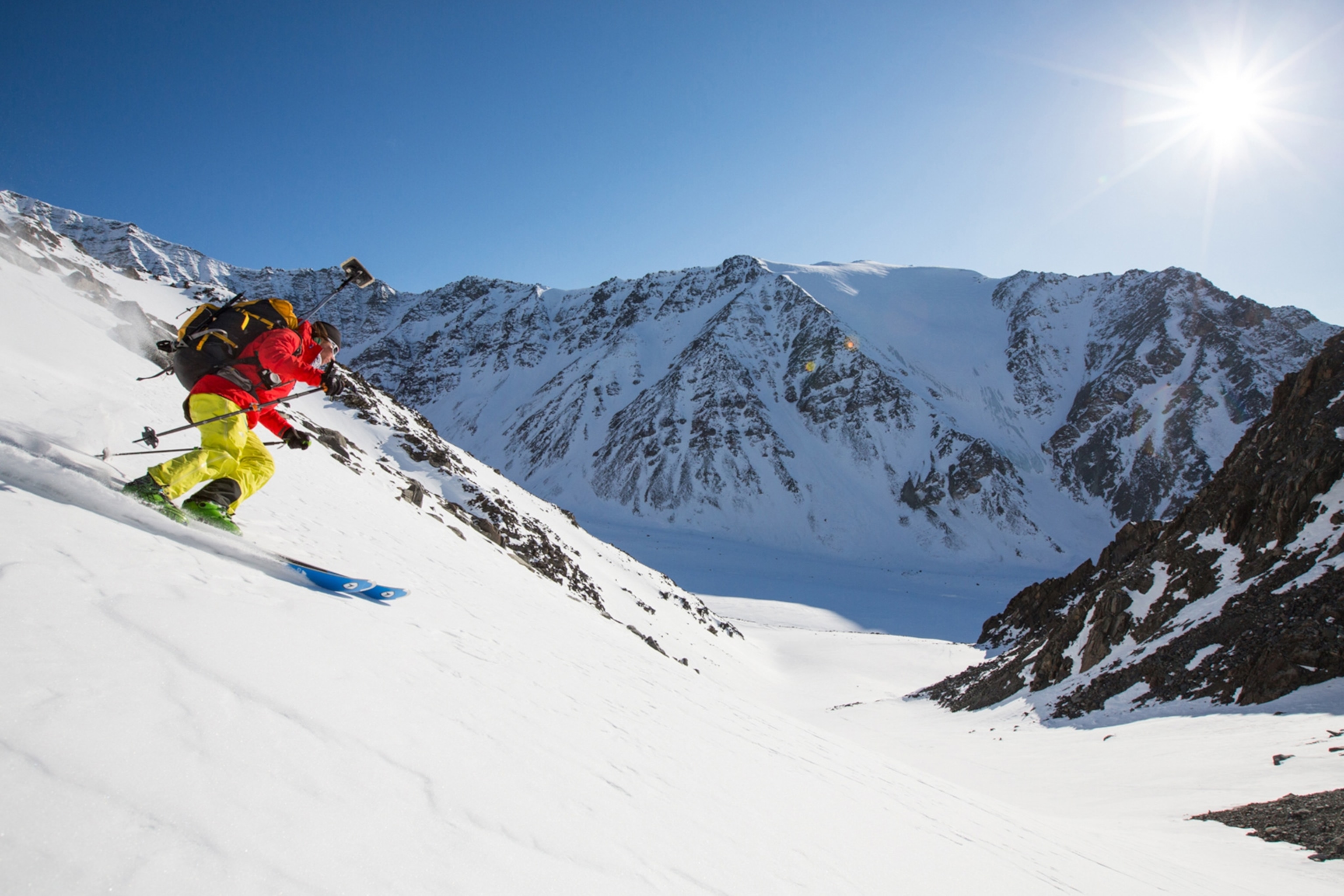
Nolan’s new results were verified by professional ski mountaineer Kit DesLauriers, who climbed several of the summits with a GPS tracker to fact check Nolan’s new system of remote sensing. The work was supported in part by the National Geographic Society.
DesLauriers, who is also a member of The North Face athlete team, says she was glad to use her adventure skills to help people “understand our natural environment,” adding that the project “speaks to the age of exploration still being open for those who wish to look deeper into the questions which remain.”
How it Works
Over the past few years, Nolan has developed a new sensing system that leverages recent advancements in technology to provide more data at a lower cost. He named it fodar, a combination of foto and LiDAR (light detection and ranging). LiDAR has been around about two decades and is increasingly used for Earth science and archaeology. But it’s expensive. Equipment costs between $500,000 and $1 million, and it requires an airplane.
In contrast, Nolan’s system cost him less than $30,000, although he says cheaper versions could be used for less-precise measurements. Nolan’s fodar has three main elements: a “prosumer”-grade digital camera, a survey-quality GPS receiver, and a software algorithm called Structure-from-Motion.
Nolan can operate the system by himself, while flying a small plane over the area he wants to survey. He places the camera in a mount, and then each time it takes a picture, the GPS records its exact position. The software then turns the picture into a precise 3-D model. Nolan says the system could be soon be mounted on a drone, which would drive costs down further.
The algorithm that powers the system was developed for the computer graphics and robotics industries, to both fill out the animations in cartoons and to allow robot vehicles to navigate without running into things. In fodar, the algorithm also corrects for lens distortion in the camera. Without that innovation, surveyors had to use ultra-expensive professional cameras that were specifically designed for the task and made in small batches. Today’s consumer cameras also have a much better range in terms of light and lens quality, so they now rival models that used to cost tens of thousands of dollars.
“It used to be that Earth scientists looked forward to making one good map of an area in their career, but now we can make them as often as we need them,” says Nolan.
Beyond Maps
By mapping areas over time with detail on the level of mere centimeters, fodar can help scientists measure changes in the landscape, such as snow and ice levels, erosion, avalanches, subsidence, and more.
For example, Nolan and DesLauriers found that the peak of Mt. Okpilak in Alaska moved some 49 feet (15 meters) laterally and 6 inches (15 centimeters) vertically just between April and July 2015. The team thinks a big storm resculpted the ice cornice overlying the peak during that time.
“Fodar won't totally replace LiDAR, which will still be good for some applications, but it will lead to an explosion of scientific analysis,” says Nolan.

