These Are the Cleverest, Weirdest Mapping Ideas Ever Patented
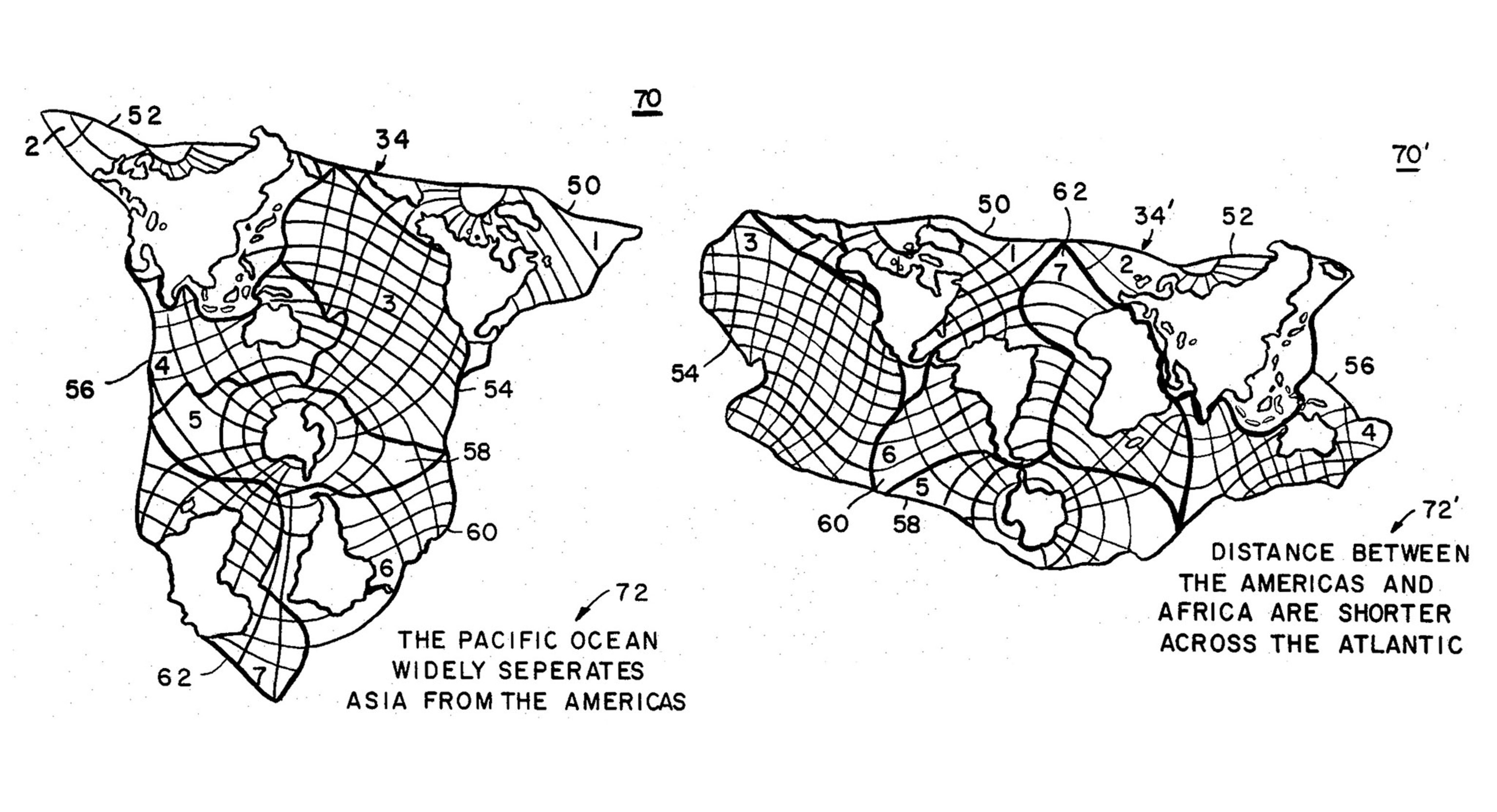
Inventors have dreamt up some strange ways to map and navigate the world—and have patented nearly 100 different ways to fold a map.
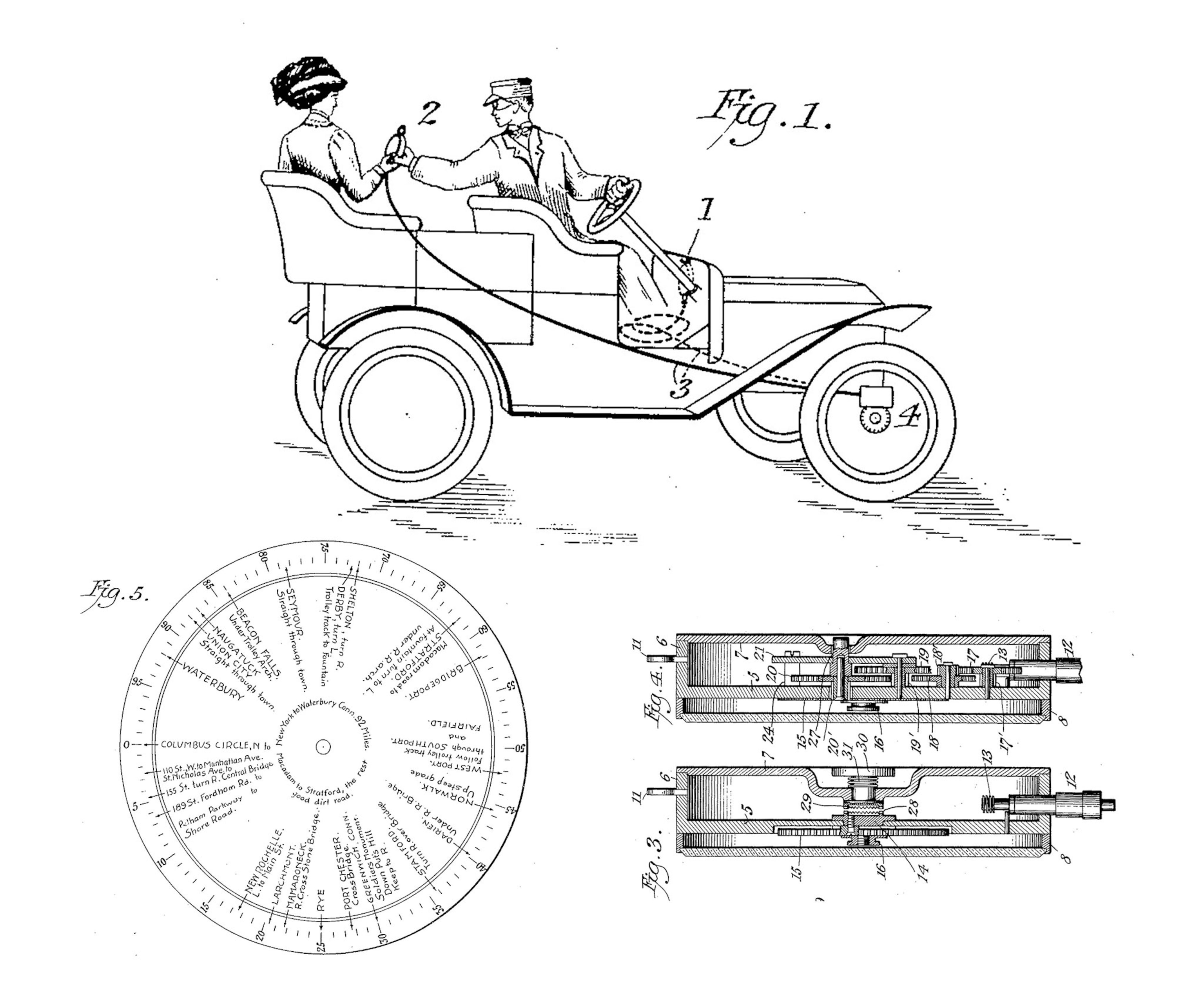
In 1912 an inventor in New York City named Joseph W. Jones filed a patent for a “Combined Road-Map and Odometer” that is arguably the forerunner to today’s dashboard GPS navigation systems.
Jones’ invention was for a complex apparatus (see first slide in gallery above) that would display route directions and landmarks as a car travels between two specific points. The disc in the patent drawing above describes the route from Columbus Circle in Manhattan to Waterbury, Connecticut.
This is just one of the more than 300 map-related inventions uncovered by Mark Monmonier, a geographer at Syracuse University’s Maxwell School. Monmonier’s new book Patents and Cartographic Inventions is a fascinating look at more than a century and a half of clever—and not-so-clever—ideas, and the inventors behind them. The patents cover everything from internally illuminated globes to streetcar transfer tickets to complicated map-folding schemes.
Patents have generally been ignored by map historians, Monmonier says, but they reveal a lot about how people have used maps over the years. He found that like many discoveries and inventions, patents for similar ideas seemed to spring up independently around the same time—a phenomenon known as the theory of multiple discoveries.
NAVIGATING THE ROAD
Such was the case for several patents for inventions, including Jones’ apparatus, intended to help drivers find their way around at the beginning of the 20th century. At the time, automobiles were just starting to become popular, but good roads, decent signposting, and accurate road maps were still scarce. Inventors responded with a variety of solutions. “Some of them I think were extremely clever,” Monmonier says.
The Chadwick Automatic Road Guide, patented in 1916 by Lee Sherman Chadwick of Pottstown, Pennsylvania used a rotating disc connected to the speedometer to help drivers find their way along a predetermined route, similar to Jones’ system. But Chadwick’s invention, possibly inspired by the player pianos that were popular at the time, added a warning sound to alert drivers of impending turns or hazards and displayed symbols to indicate what was ahead.
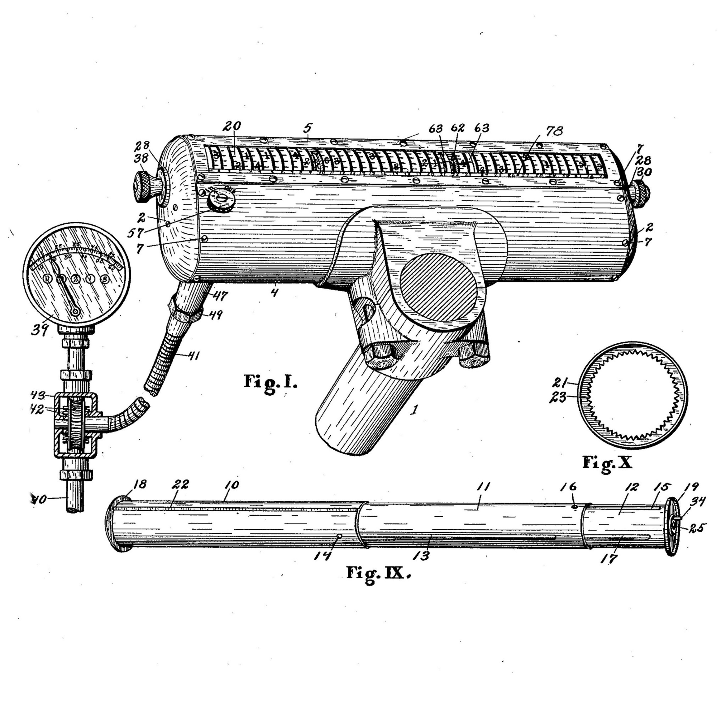
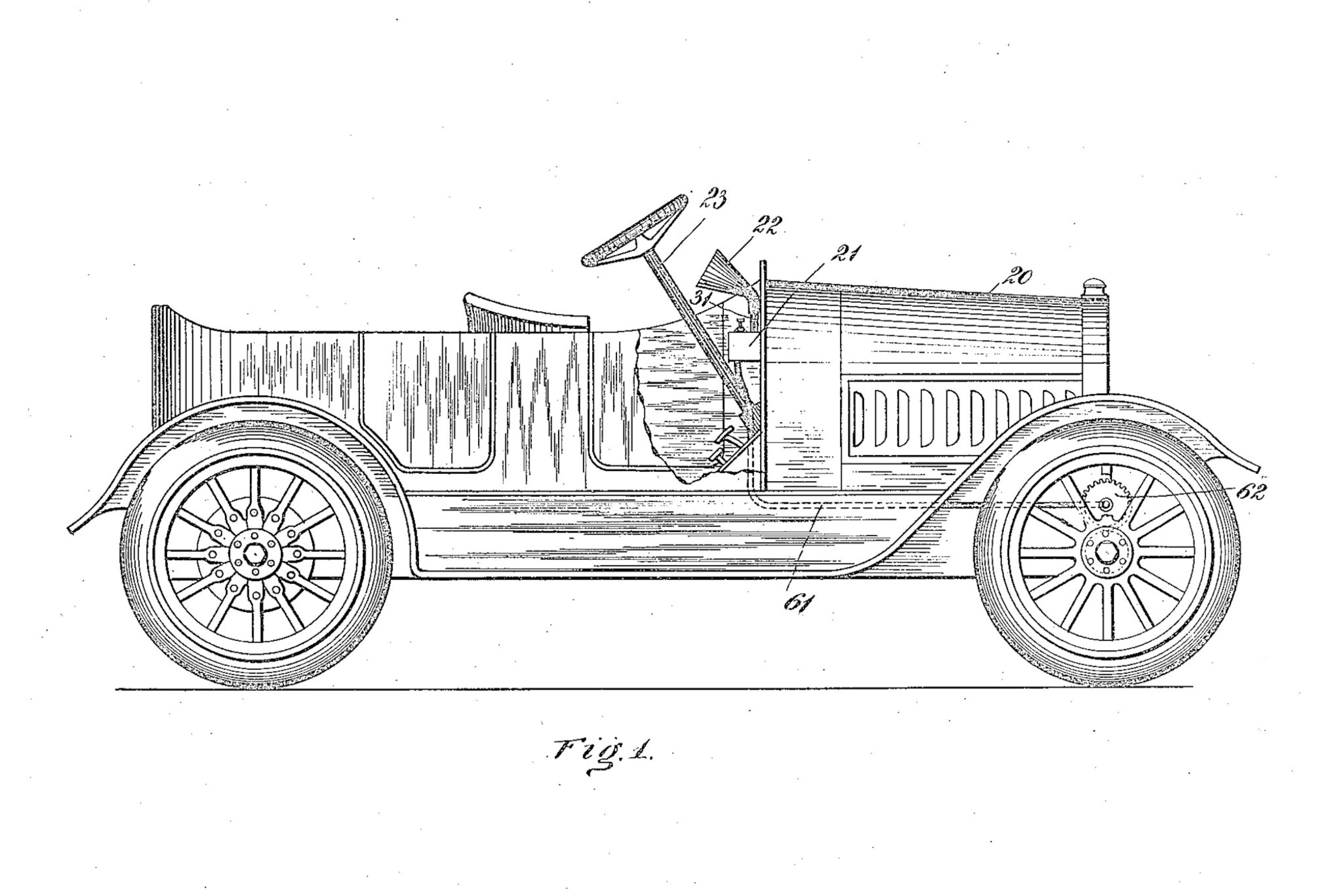
Anticipating GPS voice navigation by almost a century, George Boyden of Manhattan patented a “Vehicle Signaling System” in 1916 that included a phonograph and a megaphone (indicated by number 22 in the drawing above) to announce directions for the driver to follow. Boyden apparently never developed the idea, though Jones and Chadwick briefly manufactured and marketed their competing devices.
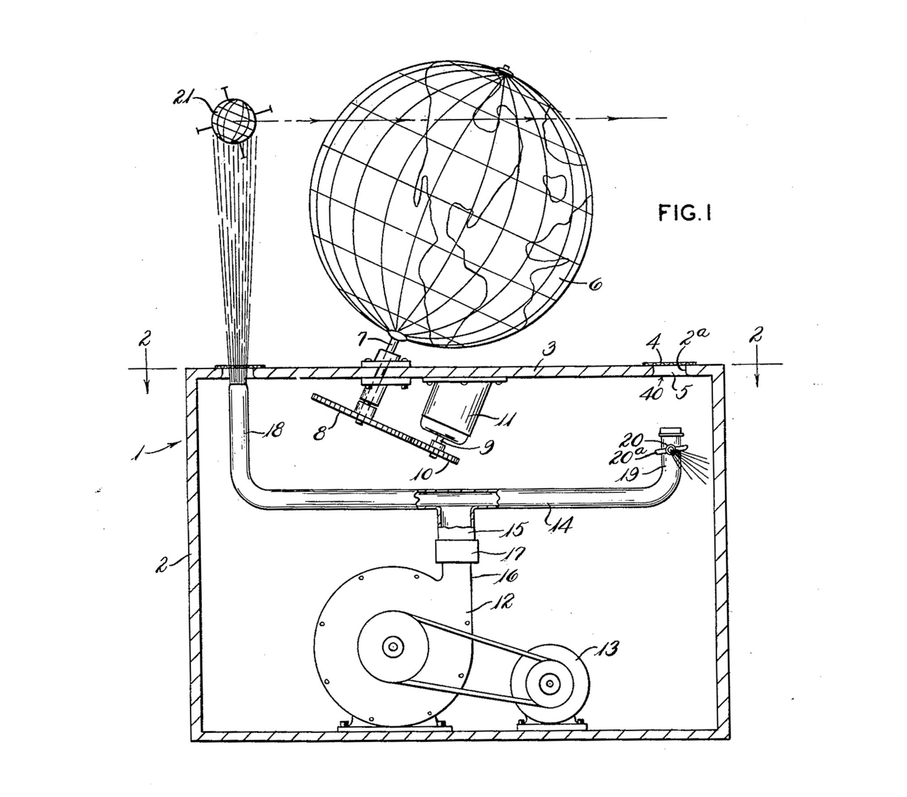
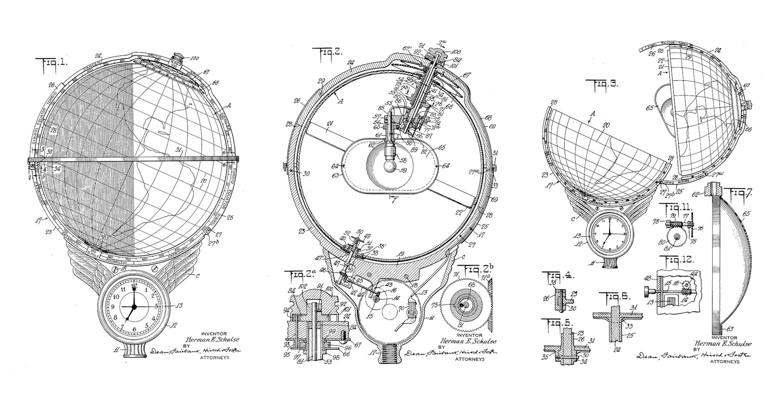
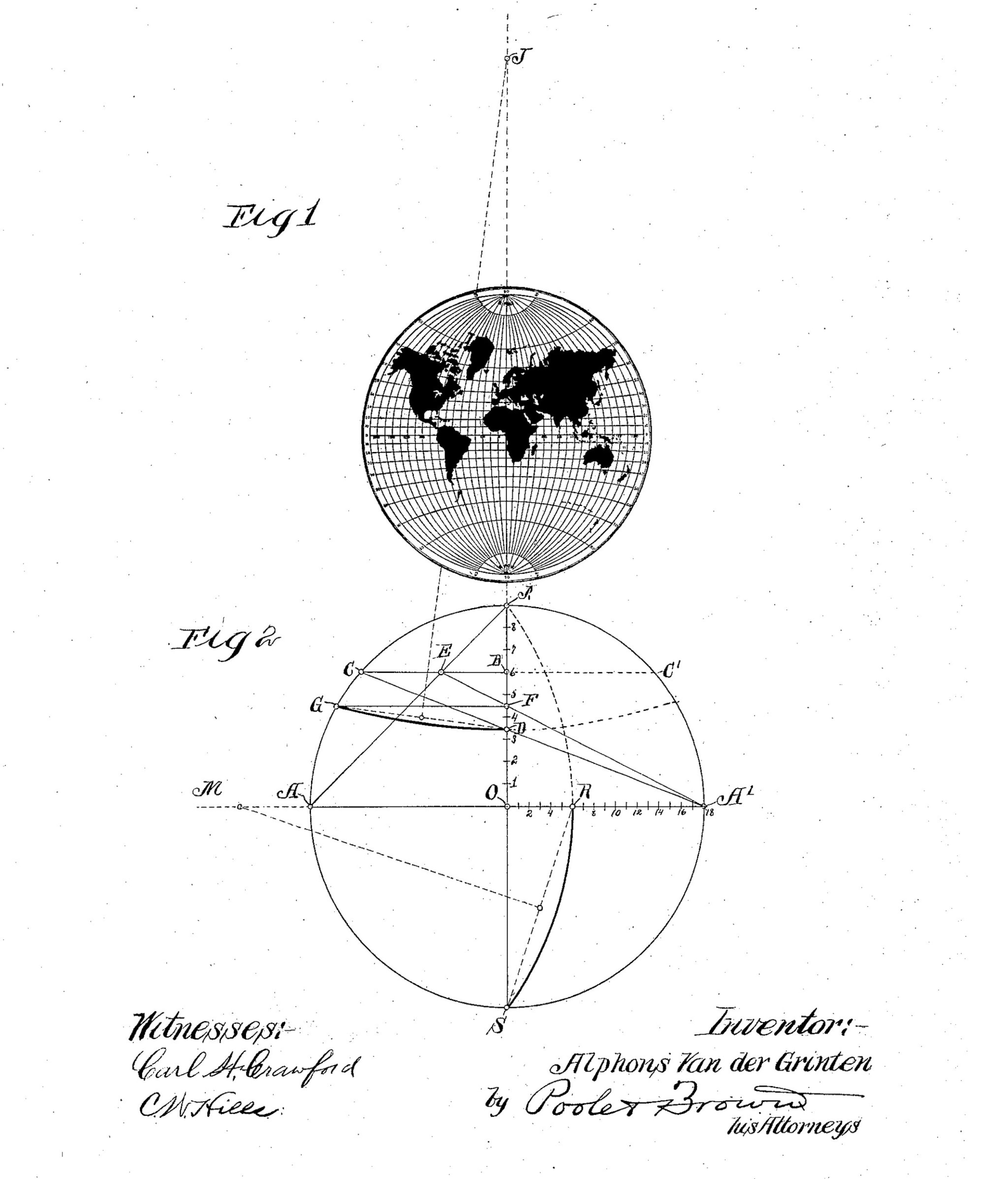
Many of the patents Monmonier discovered were impractical and some were downright ridiculous. Several inventors inspired by Sputnik’s successful launch into orbit in 1957 designed mechanical globes with satellites circling them. The wildest of these ideas was a 1963 patent that, Monmonier writes, “might have made made cartoonist [Rube] Goldberg scratch his head.” The patent, by brothers Thomas and Frank Novak of Brownsville, Pennsylvania, described a stationary globe with a rotating air duct that would use an “upward air blast” to hold a sphere aloft as it orbited the Earth (above). You don’t need to be an engineer to know this would have never worked.
THE PERENNIAL CHALLENGE OF FOLDING A MAP
Ninety-two of the 304 filings Monmonier mined from U.S. Patent Office records were for map-folding schemes. The frustration of refolding maps, he notes, is perhaps best described by James M. Barrie, the author of “Peter Pan.” Barrie wrote in 1889: “Prominent among the curses of civilisation is the map that folds up ‘convenient for the pocket.’ There are men who can do almost anything except shut a map. It is calculated that the energy wasted yearly in denouncing these maps to their face would build the Eiffel Tower in thirteen weeks.”
Map-folding is a category that has received scant attention from historians, Monmonier says. It may seem mundane, “but when it comes down to making map information accessible, how one folds is very important,” he says.
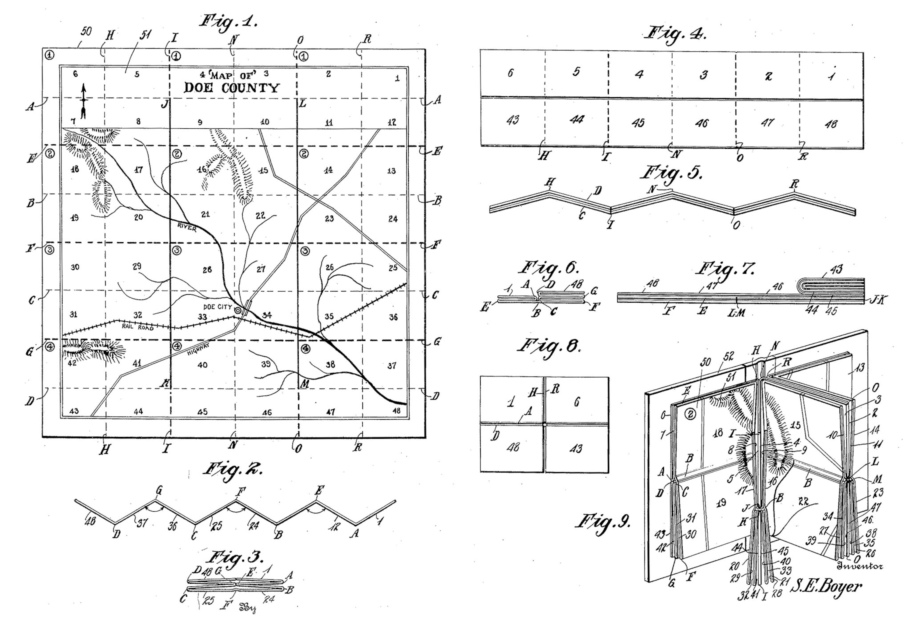
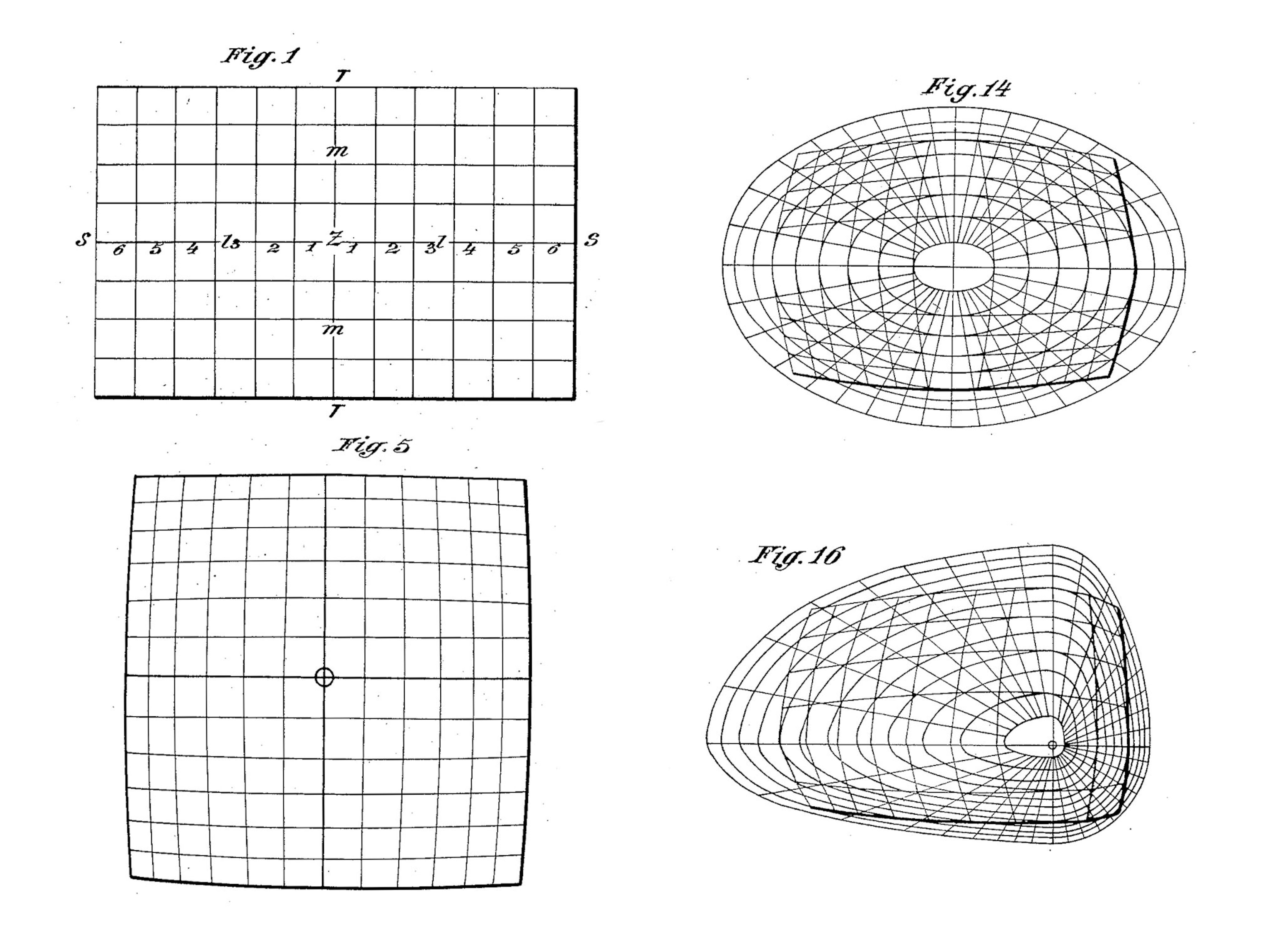
From the late 19th century into the early 21st century, a number of inventors tackled the problem of map folding with increasingly complex schemes. One of the most interesting ideas is a “Book Fold Map” patented by Stacy Boyer of Casper, Wyoming in 1925. It took nine drawings to explain the scheme, which involved numerous folds and cuts to fashion an accordion fold partitioning a map into 48 panels. Those panels would then be attached to a cover, like a book (fig. 9 above).
Users would move around the map by leafing through the panels like book pages from left to right, or by flipping them up and down. Monmonier found correspondence between Boyer and his patent examiner in which the examiner claimed he had unsuccessfully tried to make a working version of Boyer’s book based on his drawings, concluding that the “map fails to function.” He asked the inventor to submit a working model.
Intrigued, Monmonier attempted to make one himself. It was a struggle, even for a noted map expert, but eventually he was able to reverse engineer a working model by carefully studying figures 1 and 9, making the prescribed cuts and folds, and taping the map to a card (If you want to give it a go, it’s US Patent 1,531,065). In all, it took Boyer 27 months of revisions and rejections to finally get his patent approved.
A DAIRY FARMER TURNED INVENTOR
By scouring documents including census records, newspapers, government employment records, military service records, and city directories, Monmonier was able to gain insight into the lives of the people behind the patents.
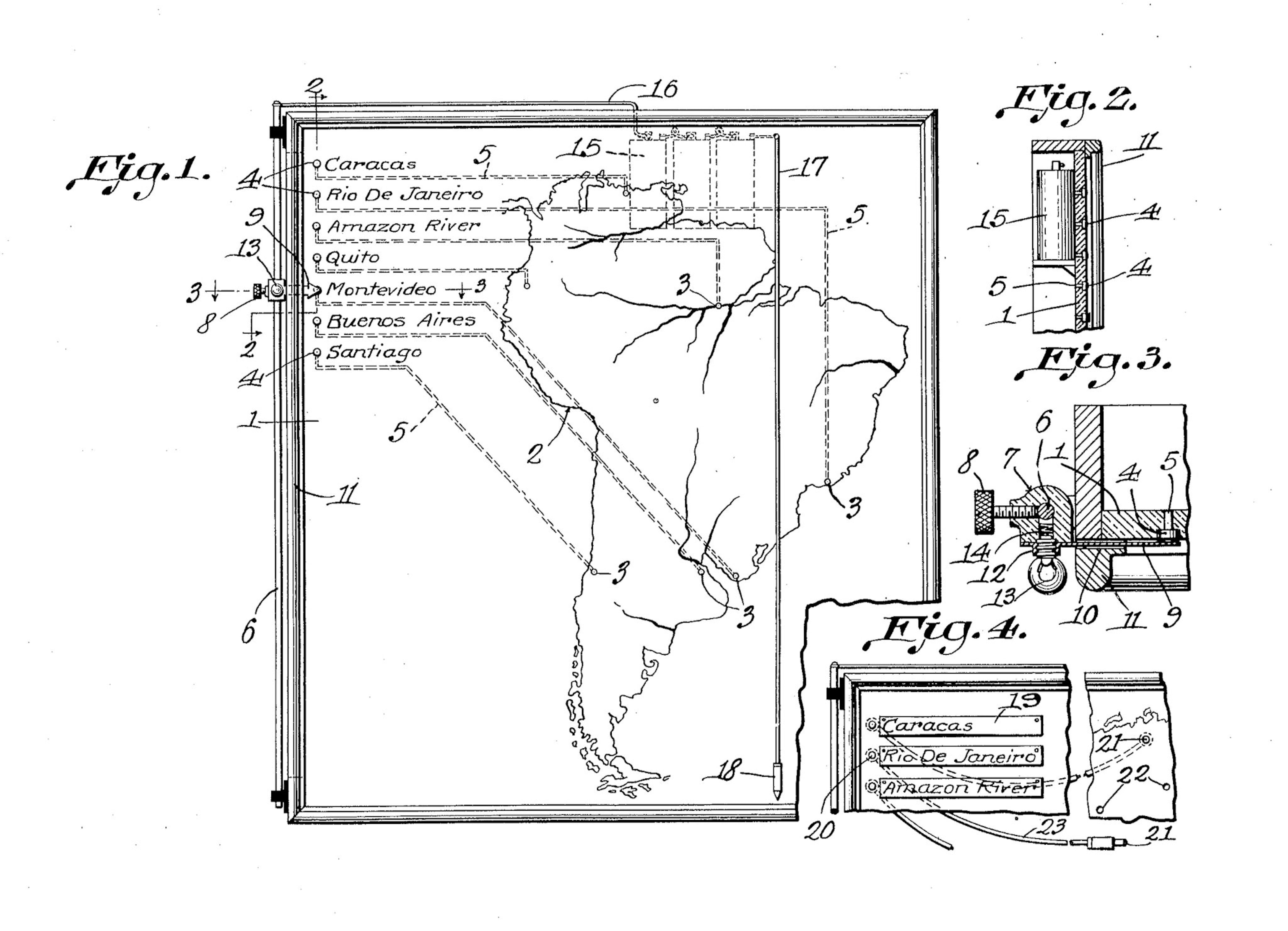
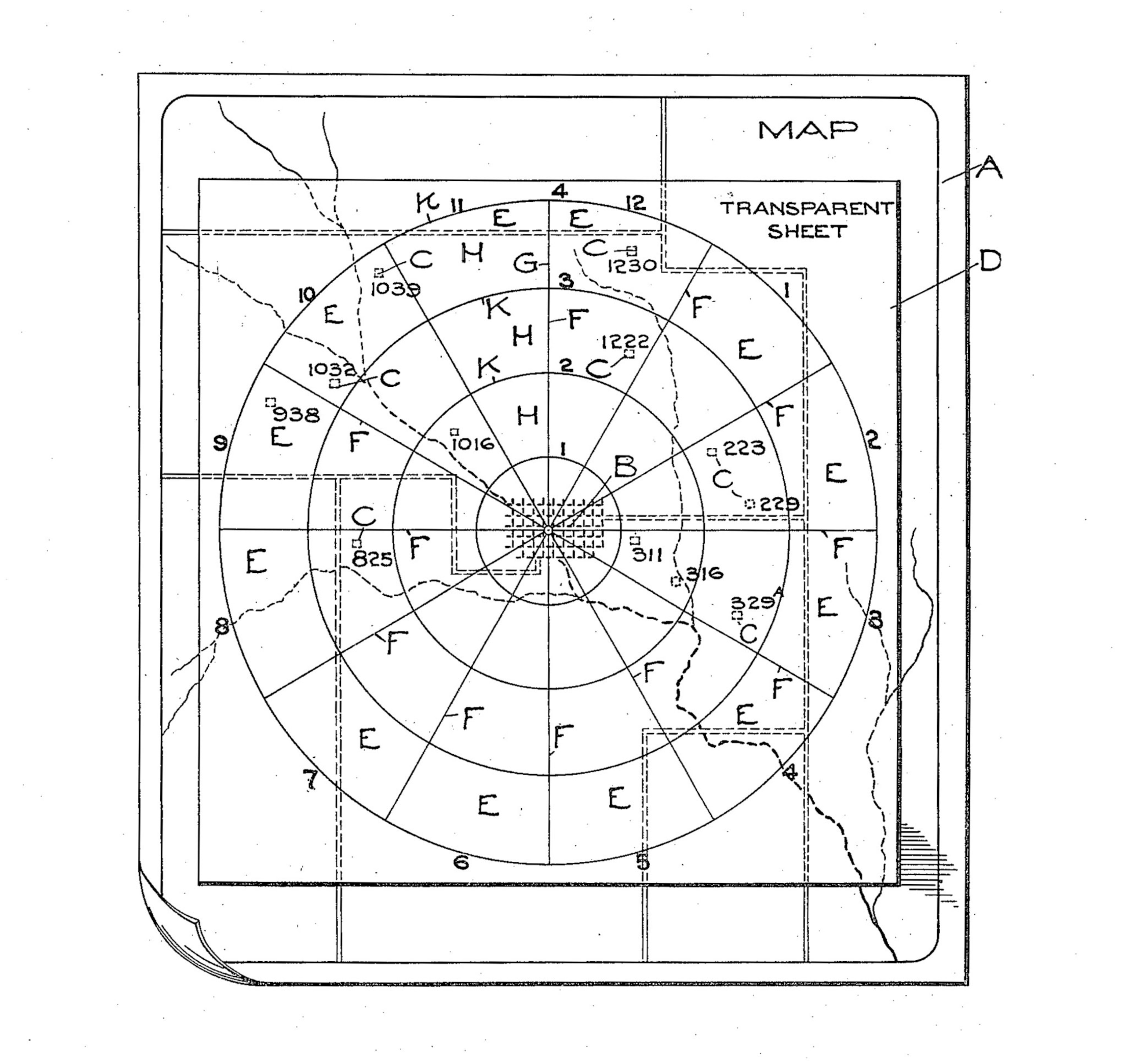
His book highlights the story of John Byron Plato of Colorado, a high school-educated dairy farmer with several patents to his name, including a device to stop a horse from running away with a wagon attached to it. His map-related patent was for a clever “clock system” for assigning addresses to rural residences in areas that lacked a regular street numbering system (above).
It was a failed attempt to sell cattle that inspired Plato to devise the clock system. He had lined up some out-of-town buyers to come to rural Bloomfield, Colorado, to inspect his cattle, but since Plato’s only address was a P.O Box, they went to the post office to ask for directions to his farm. The clerk didn’t know Plato and said they would need to wait for the mail carrier, who would not return until the next day. Annoyed, the buyers left, and as Plato told the magazine Illustrated World in 1917, “that killed a mighty profitable bargain.”
Unlike most of the inventors in the book, Plato managed to successfully market his clock system, selling licenses to several counties in New York. His business appears to have foundered during the Great Depression, but Plato bounced back. He became a map expert for the government in Washington D.C., married a woman 24 years his junior, donated 50 acres of woodland property for a Girl Scout camp, and lived to be 89.
Monmonier’s fascination with the details of some of these inventors’ lives was partly inspired by the discovery of an interesting biographical detail of his own: His maternal grandfather was an inventor, with several patents for things like milk bottle caps. Monmonier hopes the inventors and inventions in his book will inspire others with an interest in map history to take a closer look at this neglected side of maps.
Follow All Over the Map on Twitter and Instagram.
